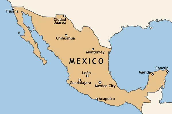
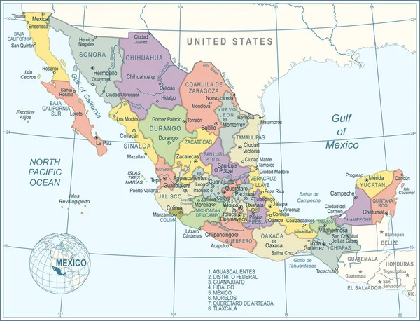
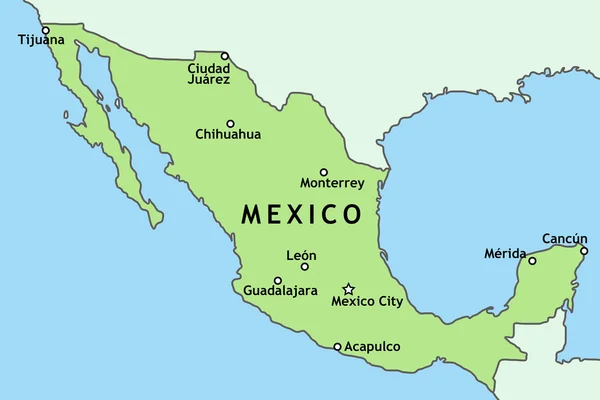
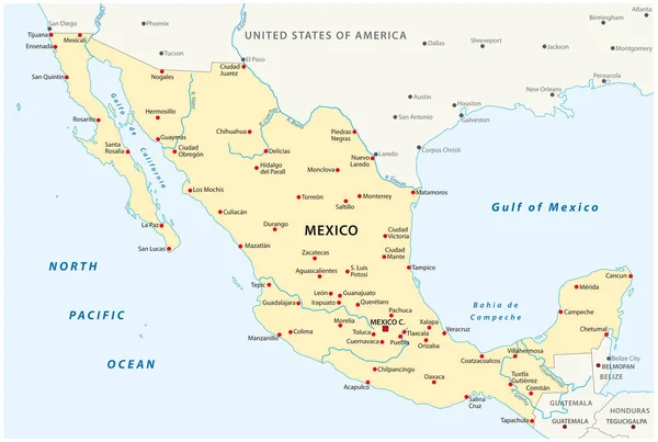
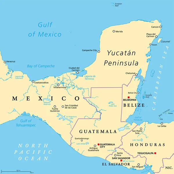
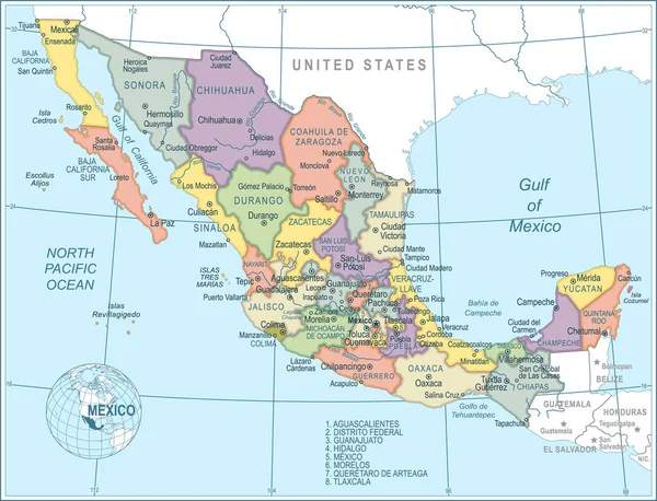
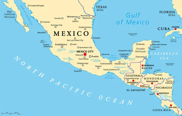
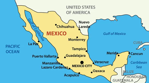
Stock vector Vector illustration - map of United Mexican States
Published: May.31, 2011 16:10:41
Author: pavalena
Views: 1893
Downloads: 47
File type: vector / eps
File size: 0.27 MB
Orginal size: 4275 x 2395 px
Available sizes:
Level: bronze