Home
Images
Vectors
Videos
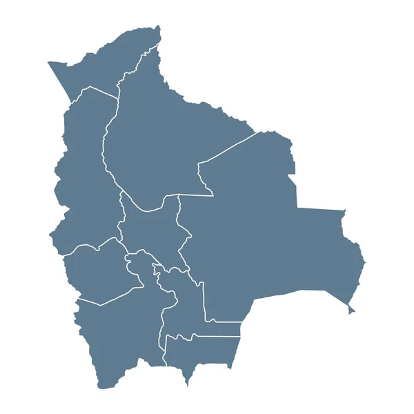
Stock vector Vector map of Bolivia with departments and administrative divisions. Editable and clearly labeled layers.
Published:
Nov.14, 2023 17:20:31
Author:
asantosg
Views:
0
Downloads:
0
File type:
vector
/
eps
File size:
1.51 MB
Orginal size:
4300
x
4600
px
Available sizes:
S
(467 x 500)
M
(935 x 1000)
L
(1870 x 2000)
XL
(4300 x 4600)
VECT
(4300 x 4600)
EL0
(4300 x 4600)
Level:
bronze
Download Vector
Vector topics:
Color
White
Vector
Background
Colorful
Graphic
Illustration
Design
Isolated
Physical
Information
Detailed
Country
Map
Cartography
Geography
National
America
Borders
Layers
Political
Administrative
States
Division
Info
English
Editable
Mockup
Bolivia
Provinces
Regions
Territories
Labeled
Departments
Pando
Infographics
Cochabamba
Oruro
Potosi
Neighbouring
South America
Latin America
Santa Cruz
La Paz
Tarija
Chuquisaca
Similar stock vectors
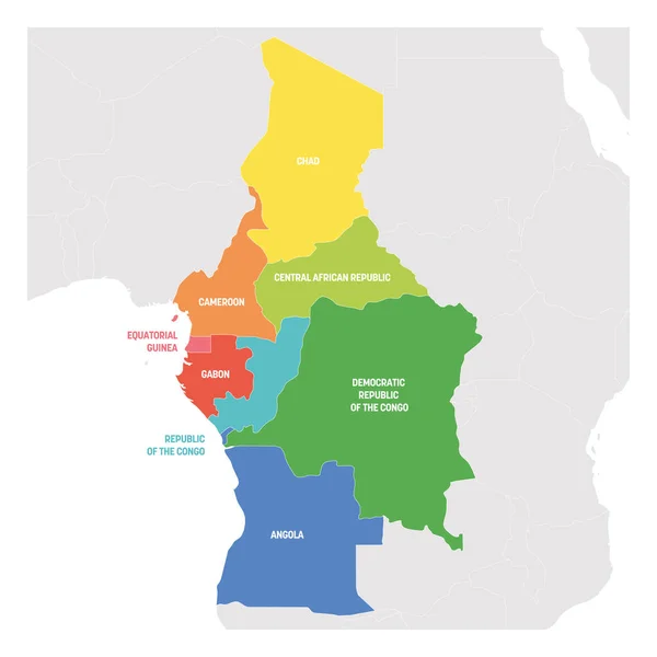
Central Africa Region. Colorful Map Of Countries In Central Part Africa. Vector Illustration
6000 × 6000
Ceara Administrative And Political Vector Map
3100 × 3631
Colorful Colombia Political Map With Clearly Labeled, Separated Layers. Vector Illustration.
3395 × 4153
Large And Detailed Map Of The State Of Benin In Africa
3000 × 6000
Detailed Vector Map Of Angola With Country Borders, County Names, Main Roads And A Highly Detailed State Silhouette
4085 × 5000
Bolivia Map - Vector Solid Contour And State Regions. Illustration
5209 × 5209
Hungary - Vintage Map And Flag - Detailed Vector Illustration
8455 × 5500
Romania Map - Detailed Vector Illustration
6004 × 5500