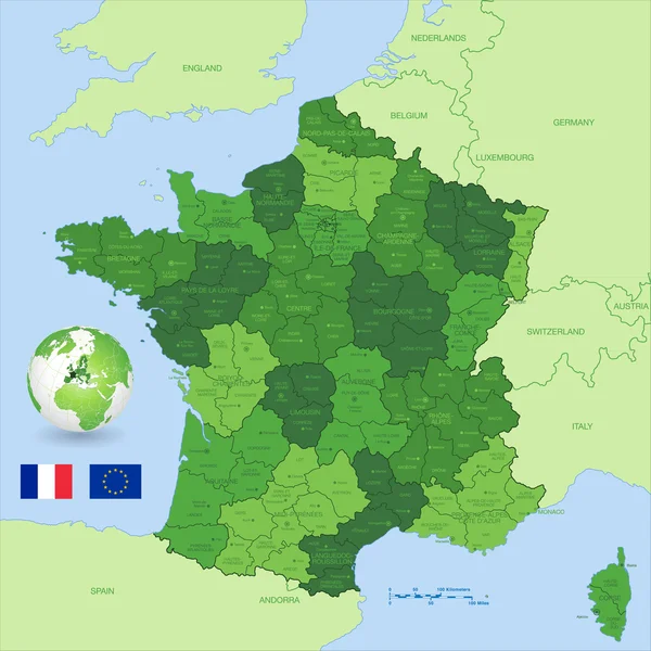
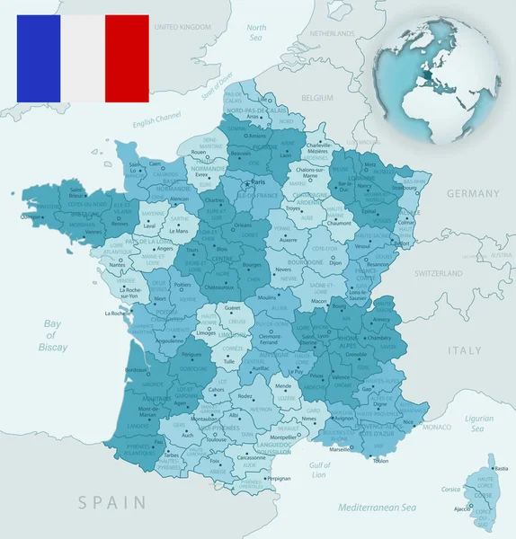
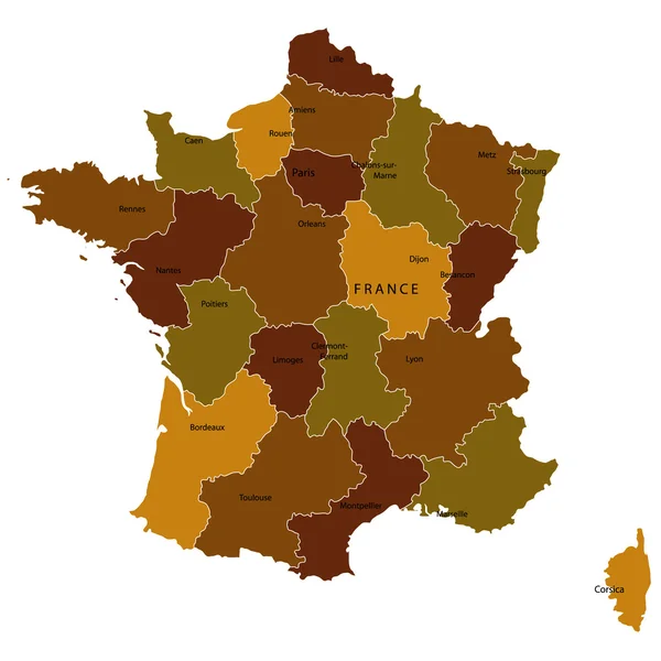
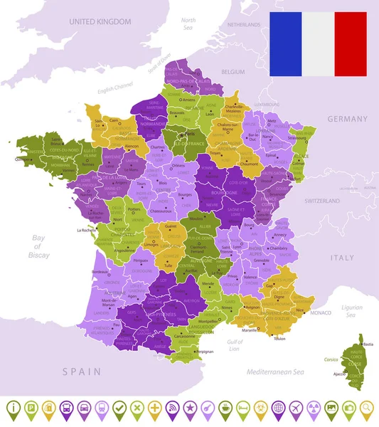
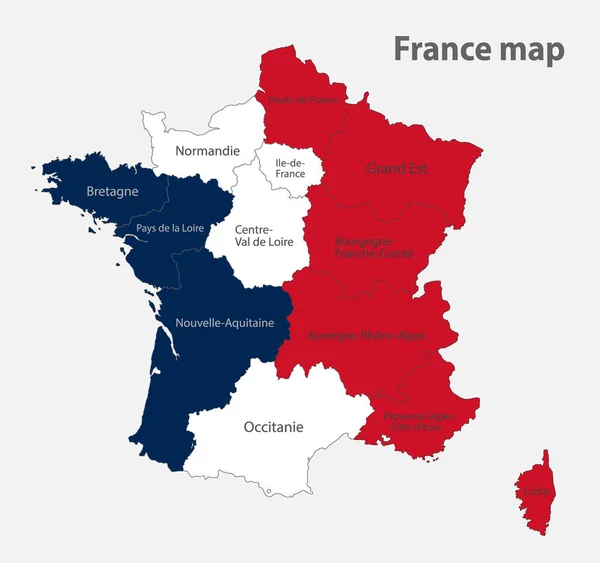
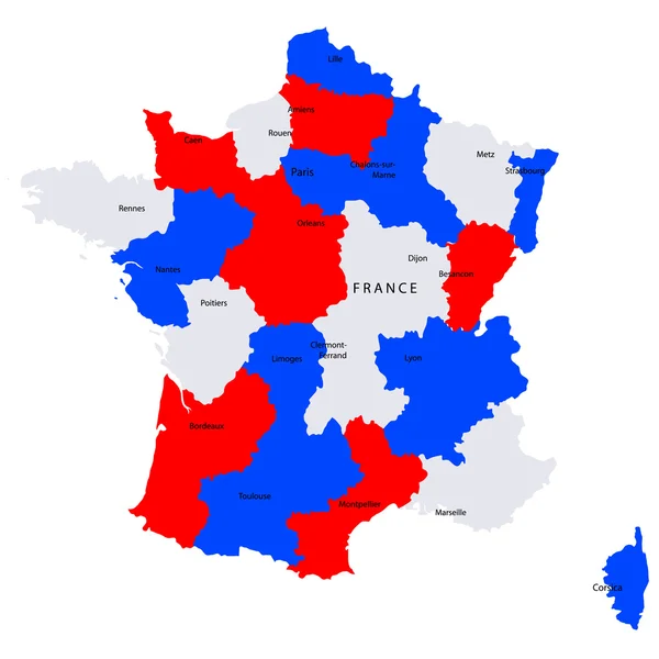
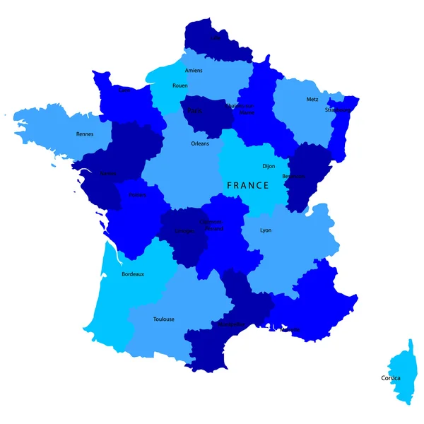
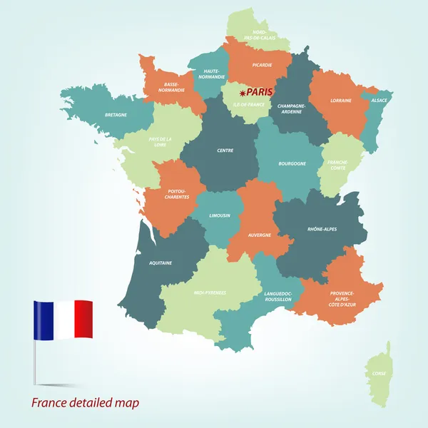
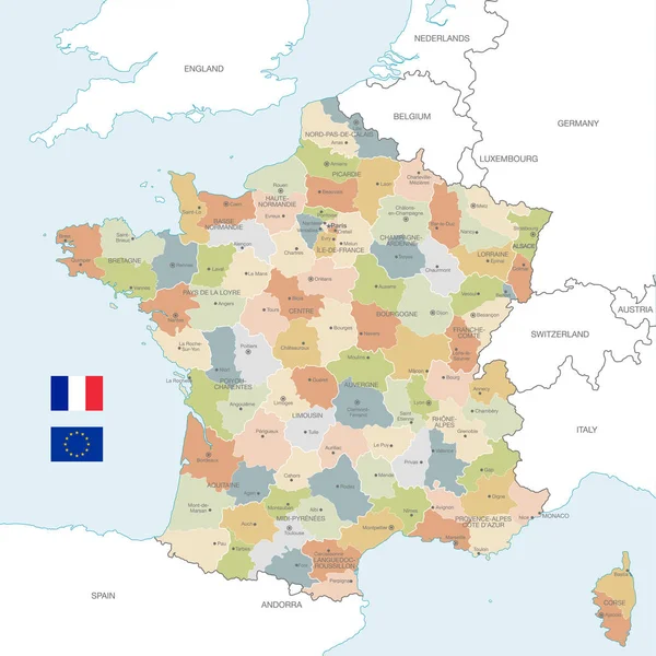
Stock vector Vector Map of France with Administrative borders, City and Region Names and international bordering countries in soft colors palette
Published: Aug.28, 2018 12:18:02
Author: pingebat
Views: 249
Downloads: 2
File type: vector / eps
File size: 4.78 MB
Orginal size: 6000 x 5999 px
Available sizes:
Level: silver