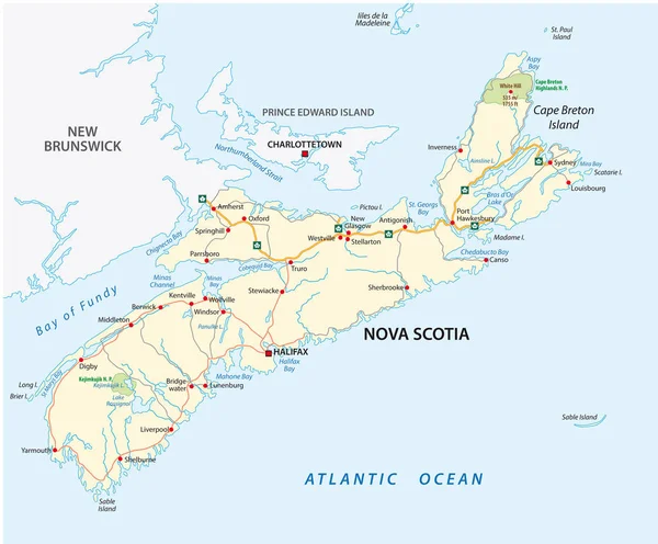
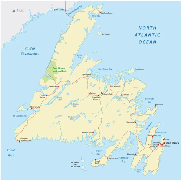
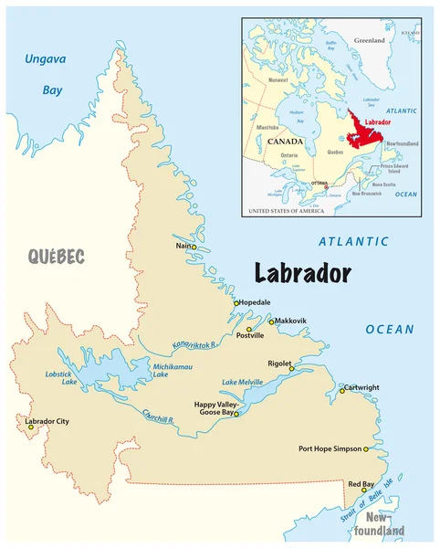
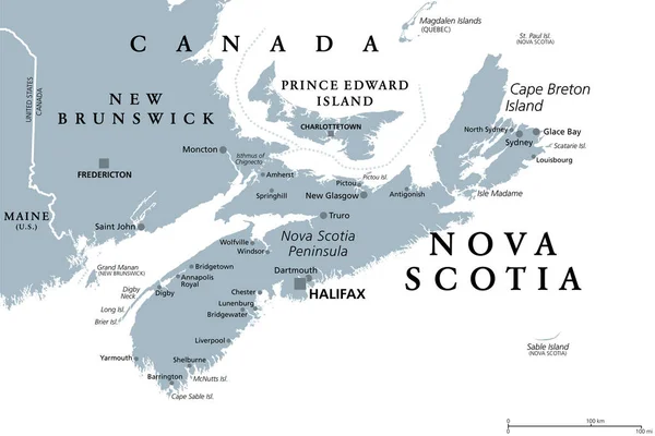
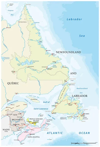
Stock vector Vector road map of the four canada atlantic provinces
Published: Nov.02, 2021 12:06:18
Author: Lesniewski
Views: 14
Downloads: 2
File type: vector / eps
File size: 2.13 MB
Orginal size: 3100 x 4561 px
Available sizes:
Level: bronze