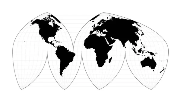
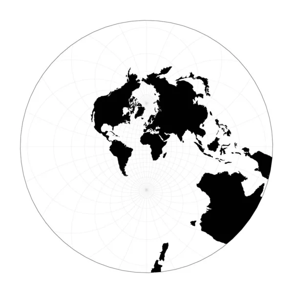
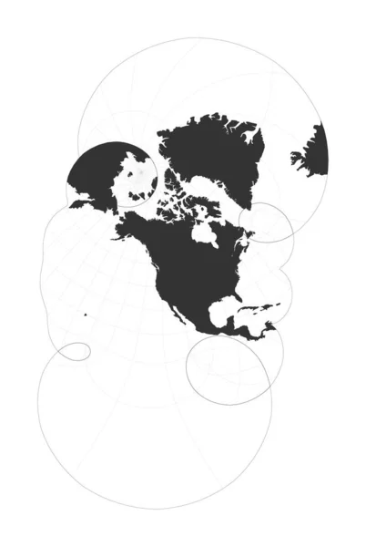
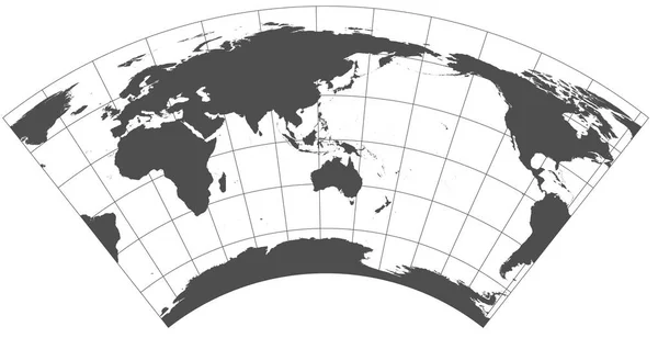
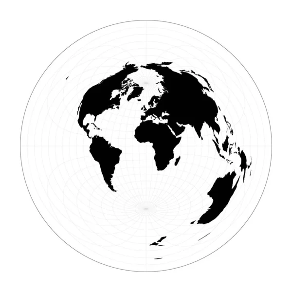
Stock vector Vector world map Hammer retroazimuthal projection Plan world geographical map with graticlue

Published: Feb.10, 2020 11:22:45
Author: gagarych
Views: 0
Downloads: 0
File type: vector / eps
File size: 1.59 MB
Orginal size: 5491 x 5491 px
Available sizes:
Level: bronze
Similar stock vectors

Map Of The World Azimuthal Equidistant Projection Globe With Latitude And Longitude Net World Map
5498 × 5498
World Shape Stereographic Plan World Geographical Map With Graticlue Lines Vector Illustration
5481 × 5481
Map Of The World Modified Stereographic Projection For The United States Including Alaska And
4499 × 6703
Gray World In Different Cartographic Projections. 30 Degrees Grid Of Meridians And Parallels.
12248 × 6301
World Shape Azimuthal Equidistant Projection Plan World Geographical Map With Graticlue Lines
5480 × 5480

Map Of The World Illustration Lagrange Conformal Projection Plan World Geographical Map With
5488 × 5488