photo free
Home Images Vectors Videos

Stock vector Vermont, U.S. state, subdivided into 14 counties, multi colored political map with capital Montpelier, borders and county names. State in the New England region of United States. Green Mountain State.
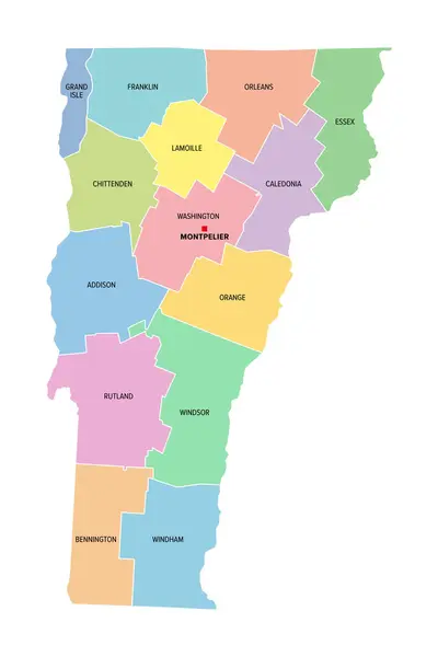
Stock vector Vermont, U.S. state, subdivided into 14 counties, multi colored political map with capital Montpelier, borders and county names. State in the New England region of United States. Green Mountain State.
Published: Aug.30, 2024 17:23:14
Author: Furian
Views: 0
Downloads: 0
File type: vector / eps
File size: 1.52 MB
Orginal size: 6000 x 9000 px
Available sizes:
S
(333 x 500)
M
(667 x 1000)
L
(1333 x 2000)
XL
(6000 x 9000)
VECT
(6000 x 9000)
EL0
(6000 x 9000)
Level: silver
Download Vector
Vector topics:

Similar stock vectors

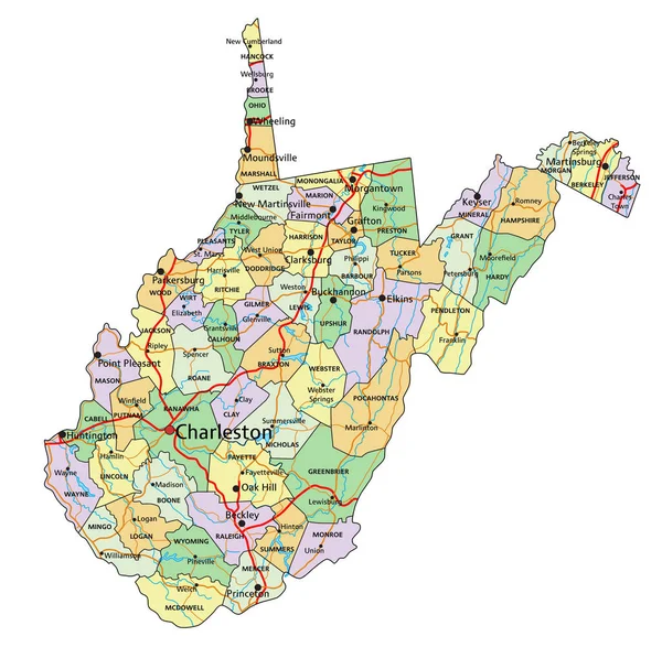
stock vector West Virginia - Highly detailed editable political map with labeling.

West Virginia - Highly Detailed Editable Political Map With Labeling.

3373 × 3359
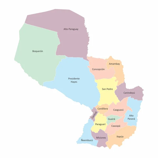
stock vector Paraguay regions map

Paraguay Regions Map

5000 × 5000
stock vector Pastel flat vector administrative map of MONTRGIE, QUEBEC, CANADA with black border lines and name tags of its municipalities

Pastel Flat Vector Administrative Map Of MONTRGIE, QUEBEC, CANADA With Black Border Lines And Name Tags Of Its Municipalities

5815 × 4110
stock vector Vector white outline map of the Republic of Afghanistan. State with regional divisions and major cities

Vector White Outline Map Of The Republic Of Afghanistan. State With Regional Divisions And Major Cities

8327 × 6427
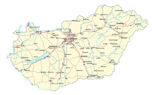
stock vector detailed vector road map of hungary with major cities rivers and lakes

Detailed Vector Road Map Of Hungary With Major Cities Rivers And Lakes

6680 × 4208
stock vector High Quality map of Komi is a region of Russia with borders of the districts

High Quality Map Of Komi Is A Region Of Russia With Borders Of The Districts

4000 × 4000
stock vector Detailed Map of Sudan With States and Cities

Detailed Map Of Sudan With States And Cities

2401 × 2401
stock vector Afghanistan - regional map of provinces

Afghanistan - Regional Map Of Provinces

8000 × 6000