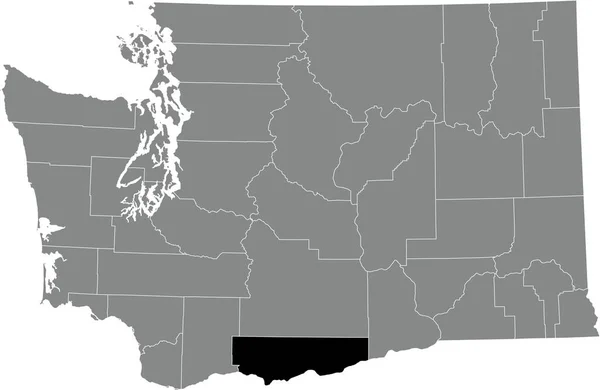
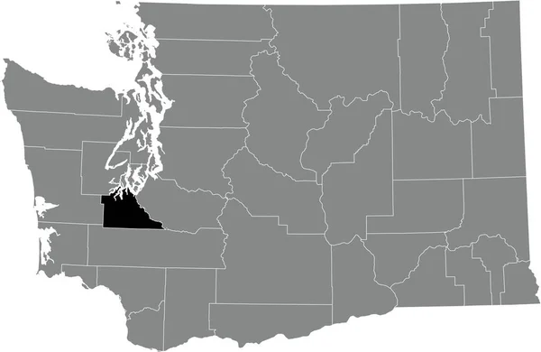
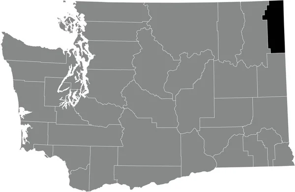
Stock vector Washington State divided in counties. Isolated map on white background.

Published: Aug.10, 2022 14:34:49
Author: luisrftc
Views: 1
Downloads: 0
File type: vector / eps
File size: 8.18 MB
Orginal size: 5000 x 3460 px
Available sizes:
Level: bronze