Home
Images
Vectors
Videos
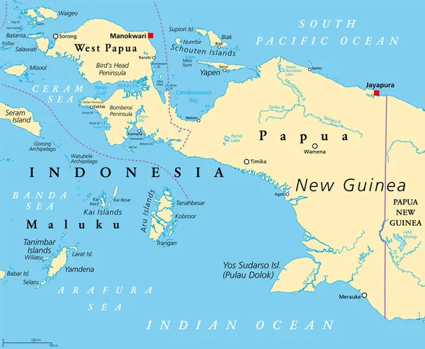
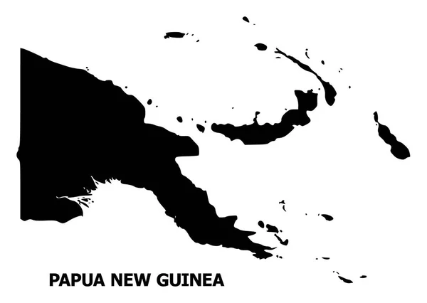
Stock vector Western New Guinea, gray political map. Also Papua, is a Western portion of the Melanesian island of New Guinea, administered by Indonesia, with the provinces Papua and West Papua. English labeling.
Published:
Apr.29, 2022 13:20:12
Author:
Furian
Views:
26
Downloads:
0
File type:
vector
/
eps
File size:
3.41 MB
Orginal size:
8254
x
6000
px
Available sizes:
S
(500 x 363)
M
(1000 x 727)
L
(2000 x 1454)
XL
(8254 x 6000)
VECT
(8254 x 6000)
EL0
(8254 x 6000)
Level:
silver
Download Vector
Vector topics:
Vector
Illustration
Isolated
New
Gray
Ocean
South
Country
Western
West
Map
Cartography
Geography
Pacific
Land
Asia
Island
Political
Oceania
Atlas
Peninsula
Province
Indonesia
Mapping
GUINEA
Papua
Melanesia
Landmass
Maluku
White Background
New Guinea
Jayapura
Seram
Political Map
Wamena
Western New Guinea
Birds Head
West Papua
Yamdena
Timika
Manokwari
Sorong
Aru Islands
Merauke
Yapen
Yos Sudarso
Pulau Dolok
Bomberai
Doberai
Schouten Islands
Similar stock vectors
Papua New Guinea Political Map
9777 × 6518
Blue-gray Detailed Map Of Papua New Guinea Administrative Divisions And Location On The Globe. Vector Illustration
5226 × 5693
Western New Guinea, Political Map. Also Known As Papua. Western Portion Of The Melanesian Island Of New Guinea, Administered By Indonesia, With The Provinces Papua And West Papua. English Labeling.
7293 × 6000
High Detailed Vector Map - Papua New Guinea.
8334 × 6251
New Guinea, Political Map. 2nd-largest Island Of The World Located In Oceania In South Pacific Ocean. The Eastern Half Is The Major Landmass Of Papua New Guinea. The Western Half Is Part Of Indonesia.
9000 × 4901
Papua New Guinea Political Map
9000 × 5403
Vector Flat Map Of Papua New Guinea With Caption
5692 × 4050
Illustrated Country Shape Of Papua New Guinea
4167 × 2778