photo free
Home Images Vectors Videos

Stock vector White Outline Counties Map With Counties Names of US State of Virginia
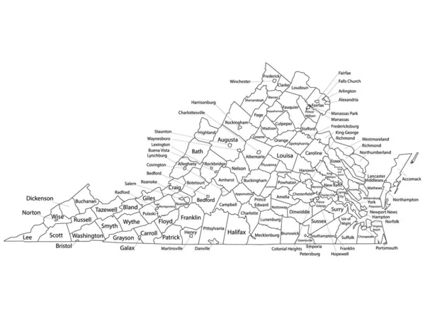
Stock vector White Outline Counties Map With Counties Names of US State of Virginia
Published: Nov.06, 2020 11:30:29
Author: momcilo.jovanov
Views: 27
Downloads: 2
File type: vector / eps
File size: 1.46 MB
Orginal size: 4800 x 3600 px
Available sizes:
S
(500 x 375)
M
(1000 x 750)
L
(2000 x 1500)
XL
(4800 x 3600)
VECT
(4800 x 3600)
EL0
(4800 x 3600)
Level: bronze
Download Vector
Vector topics:

Similar stock vectors

stock vector Regions of the Czech Republic.

Regions Of The Czech Republic.

6000 × 6000
stock vector Communication network map. Vector image of a low poly global map with city lights. Map in the form of lines and dots

Communication Network Map. Vector Image Of A Low Poly Global Map With City Lights. Map In The Form Of Lines And Dots

8000 × 5330
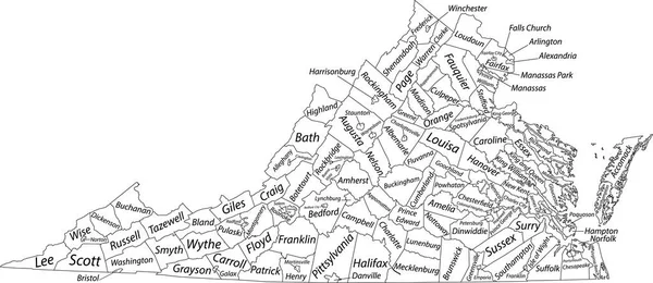
stock vector White vector administrative map of the Federal State of Virginia, USA with black borders and name tags of its counties

White Vector Administrative Map Of The Federal State Of Virginia, USA With Black Borders And Name Tags Of Its Counties

7505 × 3258
stock vector Botosani City (Republic of Romania) map vector illustration, scribble sketch City of Botosani map

Botosani City (Republic Of Romania) Map Vector Illustration, Scribble Sketch City Of Botosani Map

7087 × 4726
stock vector Accurate map of Virginia

Accurate Map Of Virginia

5000 × 4000
stock vector Communication network map. Vector image of a low poly global map with city lights. Map in the form of lines and dots

Communication Network Map. Vector Image Of A Low Poly Global Map With City Lights. Map In The Form Of Lines And Dots

8000 × 5330
stock vector Highly detailed Monaco map with borders isolated on background

Highly Detailed Monaco Map With Borders Isolated On Background

8000 × 2667