Home
Images
Vectors
Videos
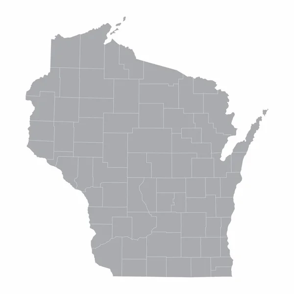
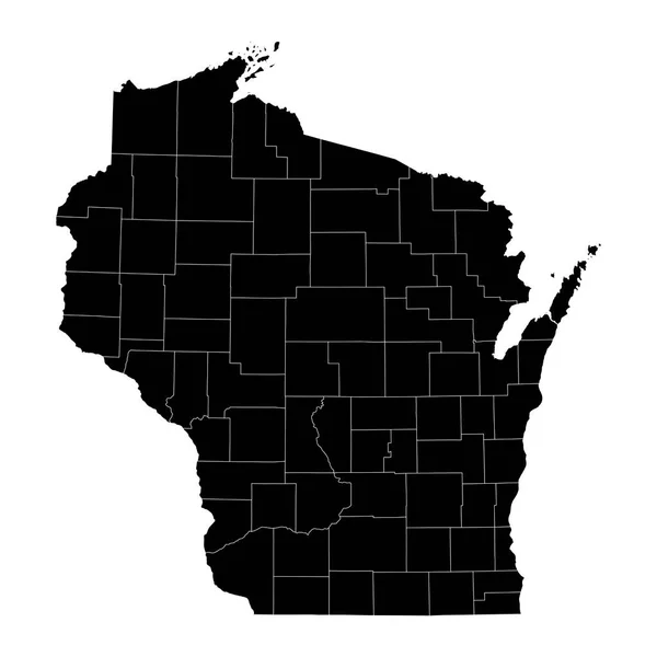
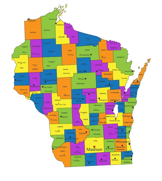
Stock vector Wisconsin counties, gray political map. A state in the Great Lakes region of the Upper Midwest of the United States, subdivided into 72 counties. Map with boundaries and county names. Illustration
Published:
Jul.03, 2024 18:54:40
Author:
Furian
Views:
0
Downloads:
0
File type:
vector
/
eps
File size:
2.82 MB
Orginal size:
6000
x
6419
px
Available sizes:
S
(467 x 500)
M
(935 x 1000)
L
(1869 x 2000)
XL
(6000 x 6419)
VECT
(6000 x 6419)
EL0
(6000 x 6419)
Level:
silver
Download Vector
Vector topics:
Vector
Illustration
Isolated
Travel
Border
Gray
Us
Usa
Country
District
Map
Cartography
Geography
Land
Overview
State
America
Boundary
Political
Administrative
Destination
States
Division
Federal
Atlas
Americas
Nation
Subdivision
County
Mapping
Wi
Names
Dane
Wisconsin
Counties
Racine
Midwestern
Milwaukee
Kenosha
Infographic
United States
Brown County
Great Lakes
Subdivided
Political Map
Dairyland
Swing States
Badger State
Upper Midwest
Similar stock vectors
Colorful Wisconsin Political Map With Clearly Labeled, Separated Layers. Vector Illustration.
4168 × 4646
High Quality Map Of Wisconsin Is A State Of United States Of America With Borders Of The Counties
4000 × 4000
Accurate Map Of Wisconsin
4000 × 5000
Map Of The U.S. State Of Wisconsin
5000 × 5000
Accurate Map Of Wisconsin
4000 × 5000
Accurate Map Of Wisconsin
4000 × 5000
The Wisconsin State Map And Its Counties
5000 × 5000
Wisconsin State Map With Counties. Vector Illustration.
8334 × 8334