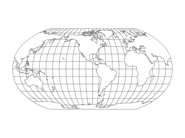
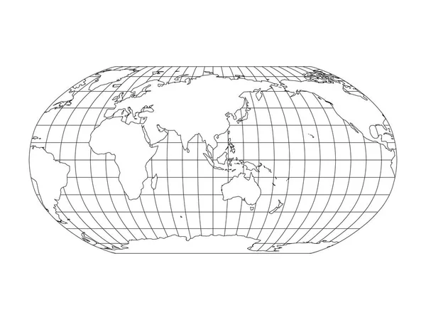
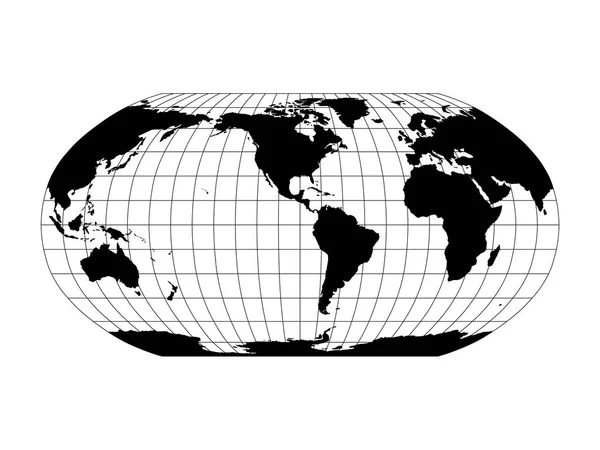
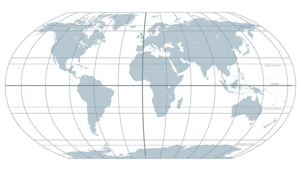
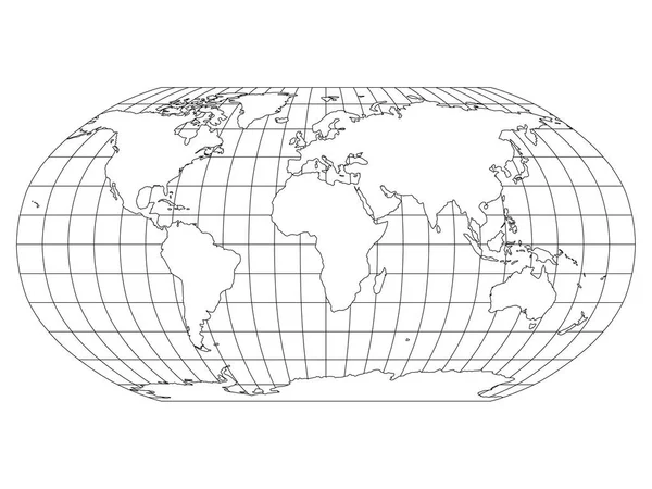
Stock vector World Map in Robinson Projection with meridians and parallels grid. White land with black outline. Vector illustration
Published: Oct.08, 2018 12:58:26
Author: pyty
Views: 776
Downloads: 14
File type: vector / eps
File size: 1.14 MB
Orginal size: 6000 x 4500 px
Available sizes:
Level: silver