
Stock image Clare Contour Map
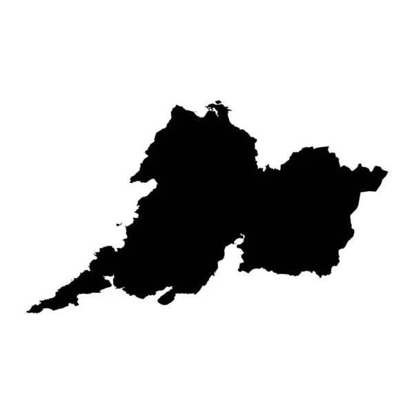
County Clare Map, Administrative Counties Of Ireland. Vector Illustration.
Vector, 5.36MB, 8334 × 8334 eps

Clare Island In The North Atlantic Ocean On A Satellite Image Taken In June 2, 2023
Image, 4.16MB, 2880 × 1620 jpg
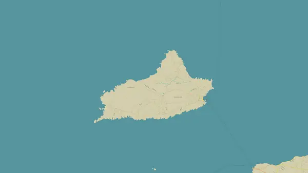
Clare Island In The North Atlantic Ocean On A Topographic, OSM Humanitarian Style Map
Image, 0.45MB, 2880 × 1620 jpg

Clare Island In The North Atlantic Ocean, Belonging To Ireland, Isolated On A Satellite Image Taken In June 2, 2023, With Distance Scale
Image, 0.95MB, 2160 × 2160 jpg

Clare Island In The North Atlantic Ocean - Belonging To Ireland. Described Location Diagram With Yellow Shape Of The Island And Sample Maps Of Its Surroundings
Image, 2.02MB, 3840 × 2160 jpg

Map Of Clare County In Michigan State On White Background. Single County Map Highlighted By Black Colour On Michigan Map. UNITED STATES, US
Image, 5.31MB, 8000 × 8000 jpg

County Clare Map, Administrative Counties Of Ireland. Vector Illustration.
Vector, 5.36MB, 8334 × 8334 eps

Clare Island In The North Atlantic Ocean, Belonging To Ireland, Isolated On A Bilevel Elevation Map, With Distance Scale
Image, 0.27MB, 2160 × 2160 jpg


Clare Island In The North Atlantic Ocean, Belonging To Ireland, Isolated On A Topographic, OSM Humanitarian Style Map, With Distance Scale
Image, 0.56MB, 2160 × 2160 jpg
Page 1 >> Next