
Stock image Dublin Region


The Criminal Courts Of Justice, Building In Parkgate Street, Dublin.It Is The Principal Criminal Court In Ireland.
Image, 10.26MB, 5248 × 4000 jpg


Shape Of Galway, County Of Ireland, With Its Capital Isolated On Solid Background. Distance Scale, Region Preview And Labels. Colored Elevation Map. 3D Rendering
Image, 0.95MB, 2880 × 1620 jpg
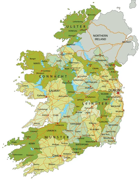
Highly Detailed Editable Political Map With Separated Layers. Ireland.
Vector, 6.88MB, 4353 × 5672 eps
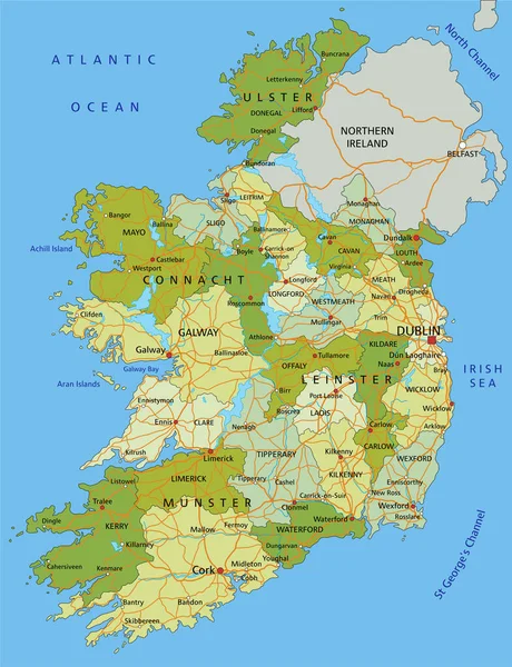
Highly Detailed Editable Political Map With Separated Layers. Ireland.
Vector, 6.82MB, 4353 × 5672 eps
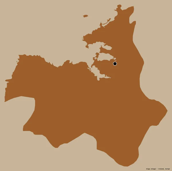
Shape Of Sligo, County Of Ireland, With Its Capital Isolated On A Solid Color Background. Composition Of Patterned Textures. 3D Rendering
Image, 11.83MB, 3836 × 3813 jpg

Black Location Map Of Irish Council Of Galway City Within Grey Map Of Ireland
Vector, 2.56MB, 3600 × 4800 eps

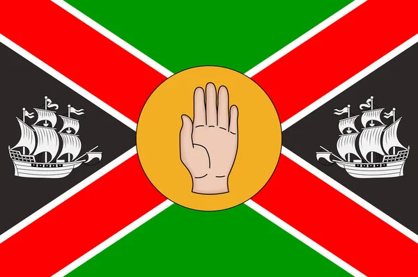
Flag Of County Mayo Is A County In Ireland. In The West Of Ireland. Vector Illustration
Vector, 5.59MB, 6271 × 4167 eps
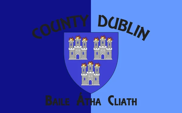
Flag Of County Dublin Is One Of The Thirty-two Traditional Counties Of Ireland. Vector Illustration
Vector, 5.37MB, 6271 × 4167 eps
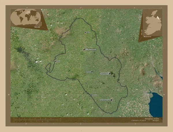
Monaghan, County Of Ireland. Low Resolution Satellite Map. Locations And Names Of Major Cities Of The Region. Corner Auxiliary Location Maps
Image, 9.08MB, 4930 × 3770 jpg

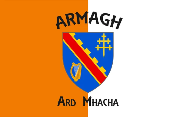
Flag Of County Armagh Is One Of The Traditional Counties Of Ireland And One Of Six Counties That Form Northern Ireland. Vector Illustration
Vector, 5.33MB, 6271 × 4168 eps
Coat Of Arms Of Leinster Is One Of The Provinces Of Ireland, Situated In The East Of Ireland. Vector Illustration
Vector, 5.3MB, 4167 × 4167 eps
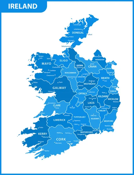
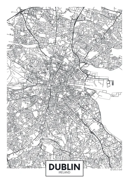
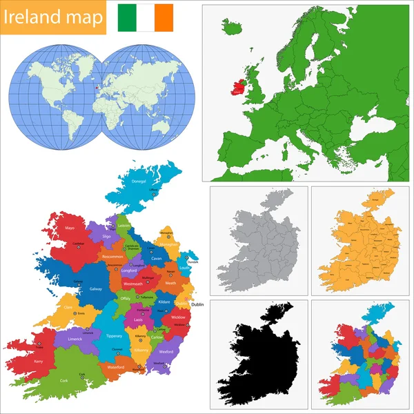
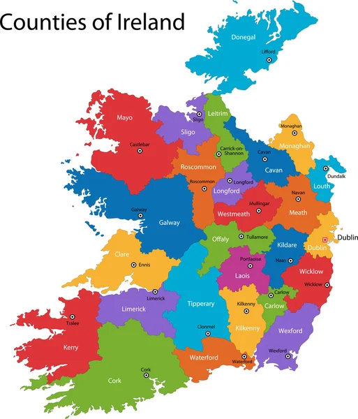
The Detailed Map Of The Ireland With Regions Or States And Cities, Capitals
Vector, 1.63MB, 5000 × 6500 eps

Ireland Map Blank Vector Map Of The Country Borders Of Ireland For Your Infographic Vector
Vector, 0.37MB, 5669 × 5321 eps


Flag Of County Antrim Is One Of Six Counties That Form Northern Ireland. Vector Illustration
Vector, 5.32MB, 6272 × 4167 eps

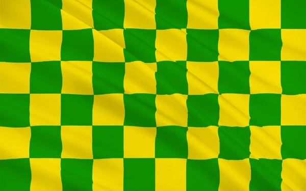
Flag Of County Louth Is A County In The Republic Of Ireland. Vector Illustration
Vector, 5.73MB, 6271 × 4167 eps
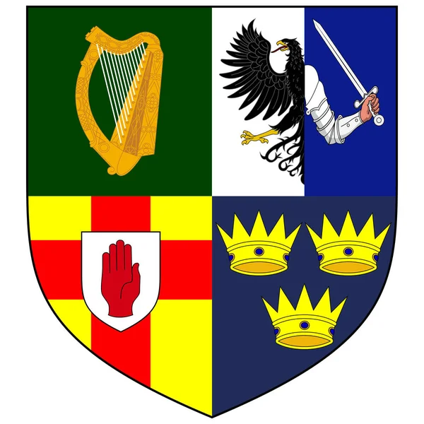
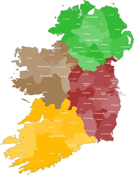
Coat Of Arms Of The Four Provinces Of Ireland - Munster, Ulster, Connacht And Leinster. Vector Illustration
Vector, 5.8MB, 4167 × 4167 eps

Coat Of Arms Of County Sligo Is A County In Ireland. Vector Illustration
Vector, 5.41MB, 4167 × 4167 eps

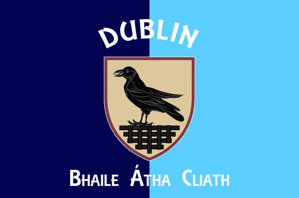
Flag Of Dublin Is The Capital And Largest City Of Ireland. Vector Illustration
Vector, 7.65MB, 6271 × 4167 eps


Page 1 >> Next