
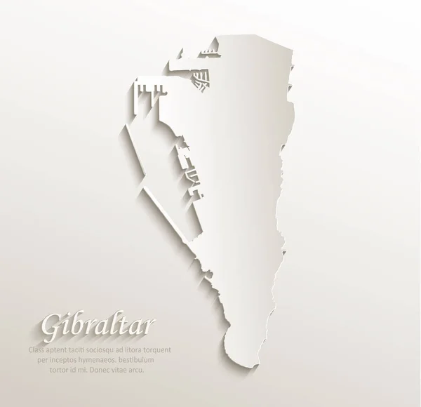
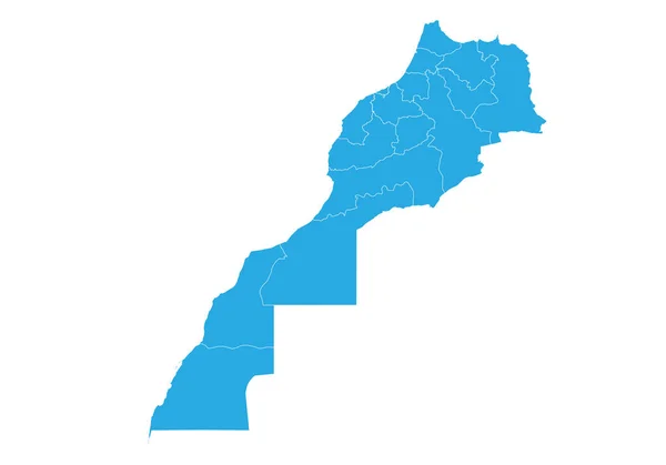
Stock image Gibraltar Map


Gibraltar Blank Map. Map Of Gibraltar On Transparent Background For Your Web Site Design, App, UI. EPS10.
Vector, 3.63MB, 3750 × 7500 eps
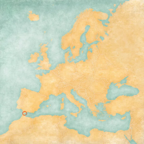
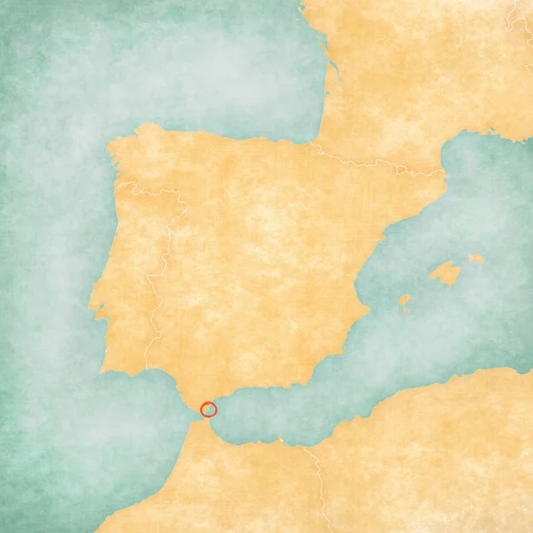
Gibraltar On The Map Of Europe In Soft Grunge And Vintage Style, Like Old Paper With Watercolor Painting.
Image, 16.02MB, 6000 × 6000 jpg


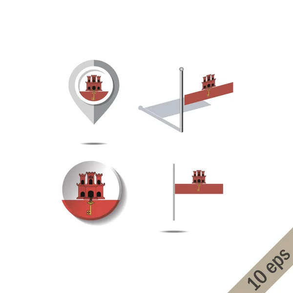
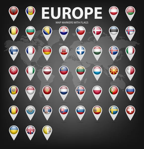
Map Pointer With Country Gibraltar. Gibraltar Flag. Vector Illustration.
Vector, 5.45MB, 4000 × 4000 eps
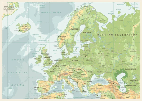

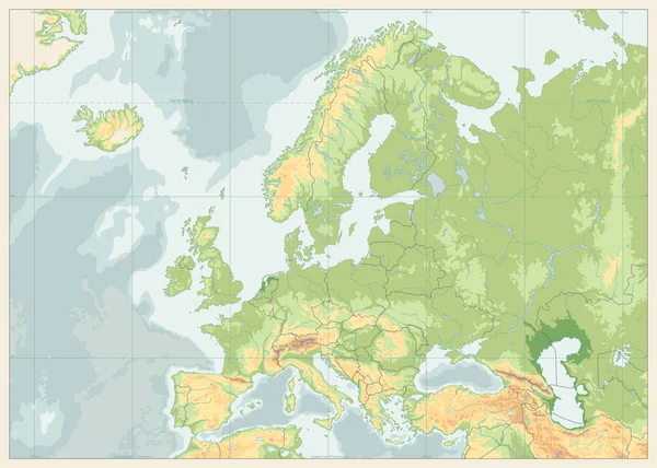
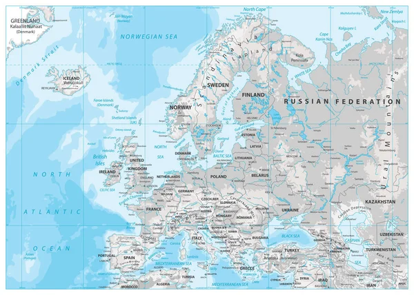

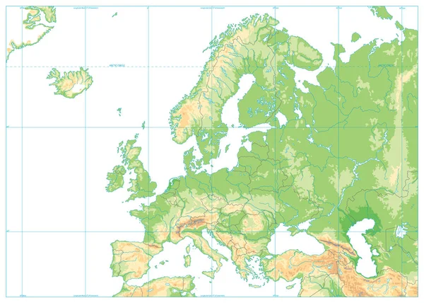

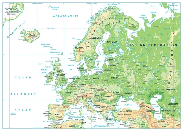

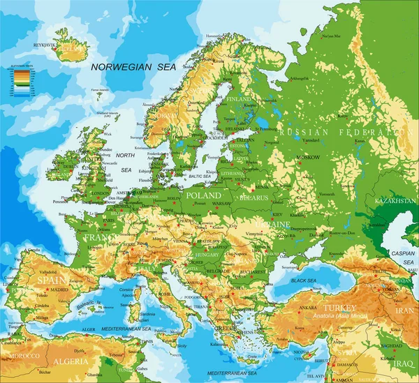
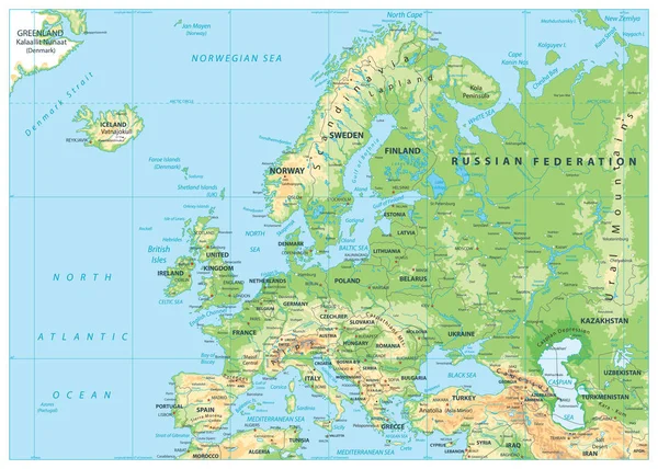
Highly Detailed Physical Map Of Europe,in Vector Format,with All The Relief Forms,countries And Big Cities.
Vector, 10.52MB, 5000 × 4573 eps
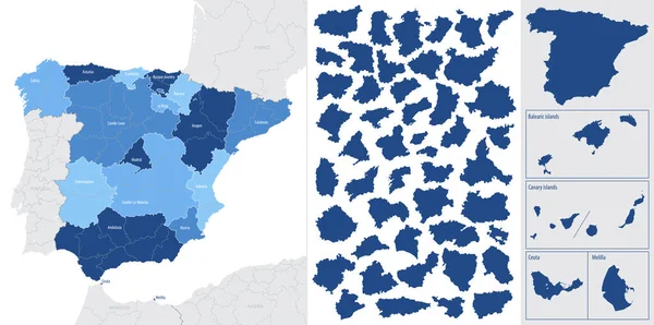
Blue Map Of Spain And The Islands, With Administrative Divisions Into Autonomous Communities And Islands, Vector Illustration On A White Background
Vector, 3.14MB, 8858 × 4411 eps
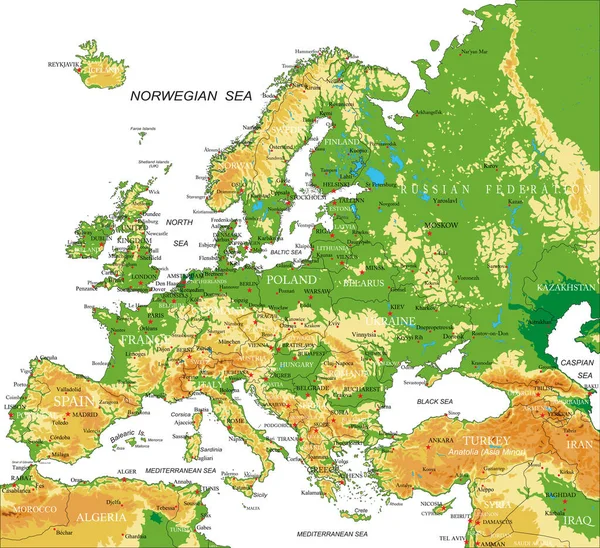
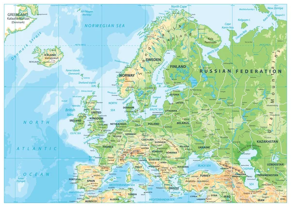
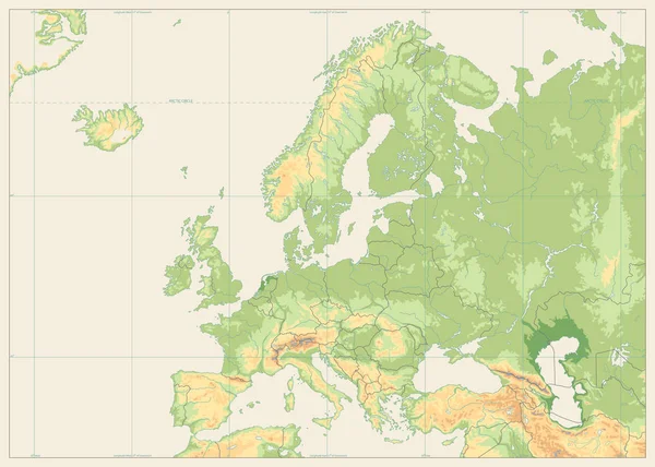
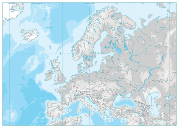
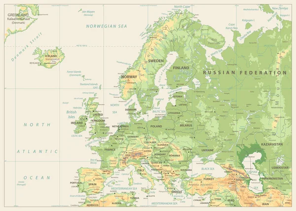
Highly Detailed Physical Map Of Europe,in Vector Format,with All The Relief Forms,countries And Big Cities.
Vector, 10.05MB, 5000 × 4572 eps

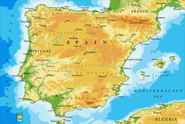
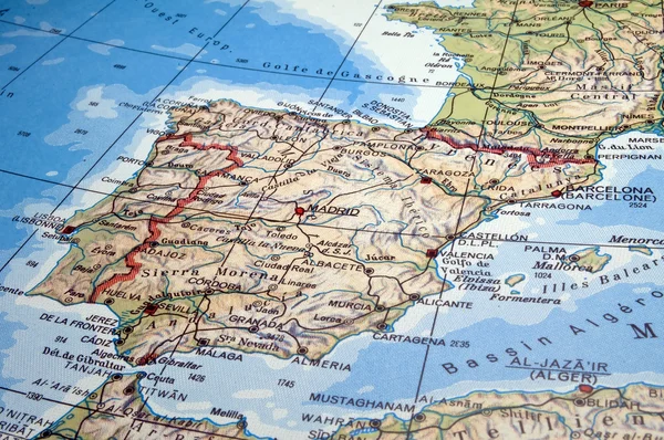
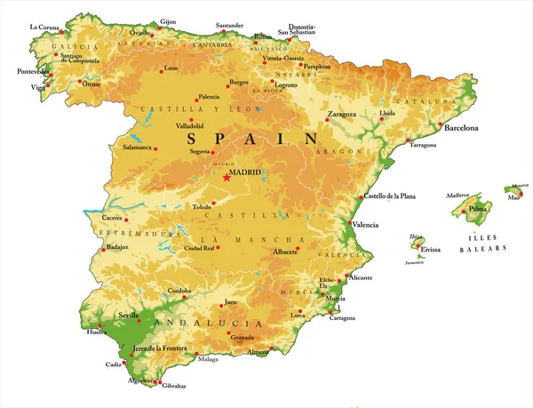
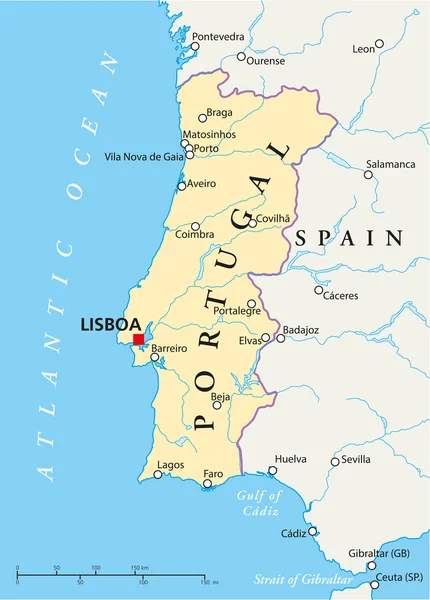
Highly Detailed Physical Map Of Spain,in Vector Format,with All The Relief Forms,regions And Big Cities.
Vector, 4.23MB, 5000 × 3368 eps
Highly Detailed Physical Map Of Spain,in Vector Format,with All The Relief Forms,regions And Big Cities.
Vector, 3.06MB, 5000 × 3832 eps

Sketch Gibraltar Letter Text Map, Rock Of Gibraltar - In The Shape Of The Continent, Map Gibraltar (British Overseas Territory) - Red And Blue Vector Illustration
Vector, 1.65MB, 7087 × 4724 eps


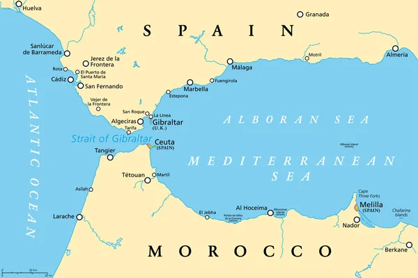
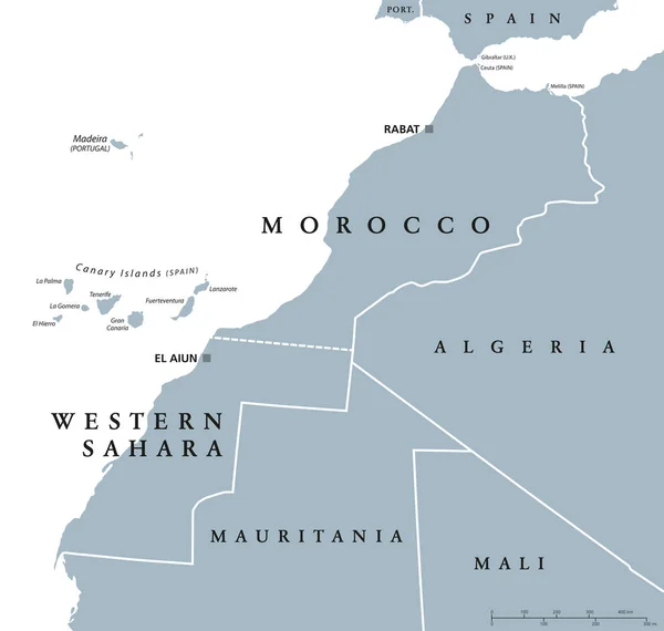
Strait Of Gibraltar, Political Map. Also Known As Straits Of Gibraltar. Narrow Strait, Connecting The Atlantic Ocean To The Mediterranean Sea, Separating The Iberian Peninsula From Morocco And Africa.
Vector, 2.82MB, 9000 × 6000 eps
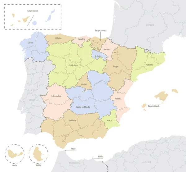
Detailed Vector Map Of Spain With Administrative Divisions Into Autonomous Communities And Islands, Vector Illustration With The Location Of The Country In Europe
Vector, 2.79MB, 7677 × 7103 eps
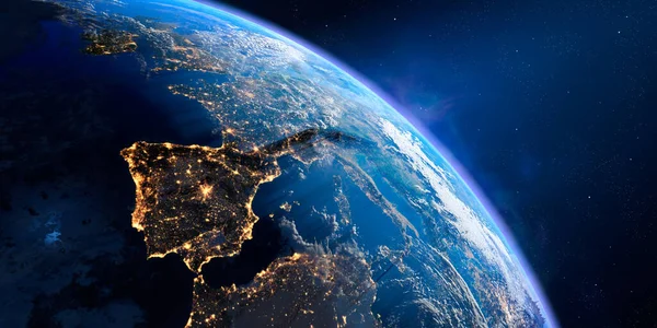
Planet Earth With Exaggerated Precise Relief And Volumetric Atmosphere. Day-night Transition. Europe. Spain And Portugal In The Foreground. 3D Rendering. Elements Of This Image Furnished By NASA
Image, 10.37MB, 7000 × 3500 jpg
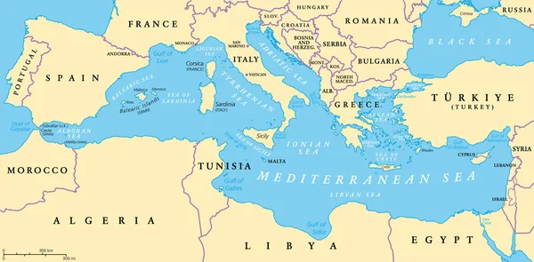
The Mediterranean Sea, Political Map With Subdivisions, Straits, Islands And Countries. Connected To The Atlantic Ocean, Surrounded By The Mediterranean Basin, Almost Completely Enclosed By Land.
Vector, 3.7MB, 9000 × 4442 eps

Page 1 >> Next