
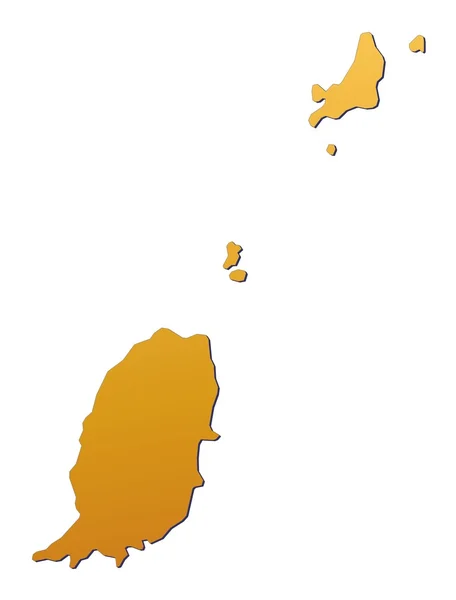
Stock image Grenada Map page 3

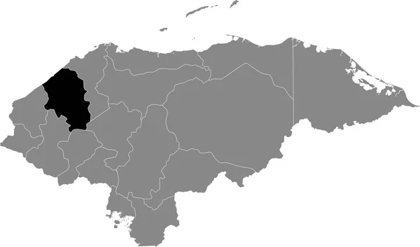
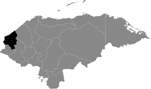
Black Location Map Of The Honduran Lempira Department Inside Gray Map Of Honduras
Vector, 0.6MB, 6004 × 3533 eps
Black Location Map Of The Honduran Intibuc Department Inside Gray Map Of Honduras
Vector, 0.6MB, 6004 × 3533 eps

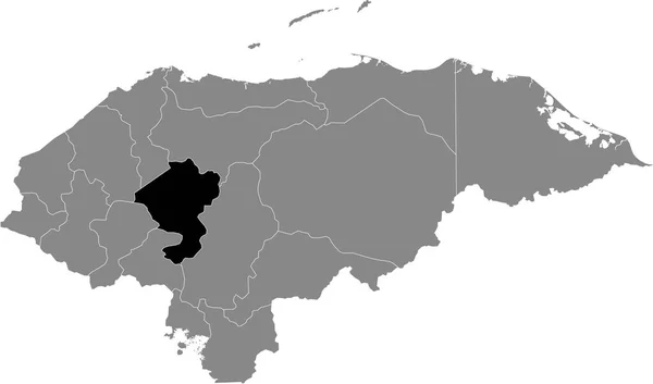
Black Location Map Of The Honduran Francisco Morazn Department Inside Gray Map Of Honduras
Vector, 0.6MB, 6004 × 3533 eps

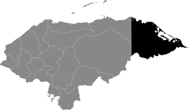
Black Location Map Of The Honduran El Paraso Department Inside Gray Map Of Honduras
Vector, 0.6MB, 6004 × 3533 eps


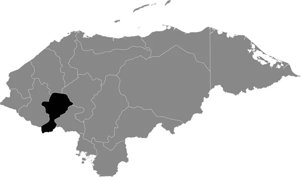
Black Location Map Of The Honduran La Paz Department Inside Gray Map Of Honduras
Vector, 0.6MB, 6004 × 3533 eps

Caribbean On 3D Model Of Earth With Country Borders And Water In Oceans. 3D Illustration Isolated On White Background.
Image, 13.73MB, 5000 × 3750 jpg
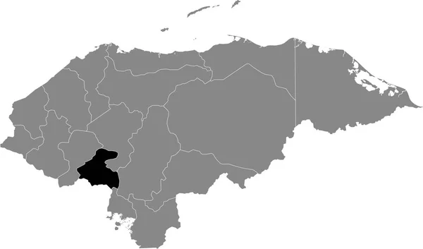
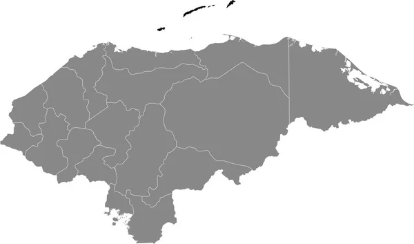
Black Location Map Of The Honduran Comayagua Department Inside Gray Map Of Honduras
Vector, 0.6MB, 6004 × 3533 eps


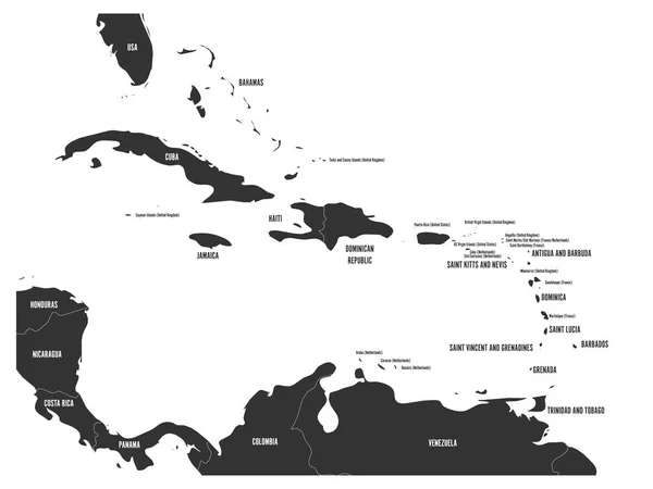
Political Map Of Carribean. Blue Highlighted States And Dependent Territories. Simple Flat Vector Illustration
Vector, 1.2MB, 6000 × 4500 eps
Black Location Map Of The Honduran Gracias A Dios Department Inside Gray Map Of Honduras
Vector, 0.6MB, 6004 × 3533 eps

Lake Grenada Reservoir (United States Of America, North America, Us, Usa, Mississippi) Map Vector Illustration, Scribble Sketch Grenada Dam Map
Vector, 1.49MB, 7087 × 4726 eps
Black Location Map Of The Honduran Santa Brbara Department Inside Gray Map Of Honduras
Vector, 0.6MB, 6004 × 3533 eps
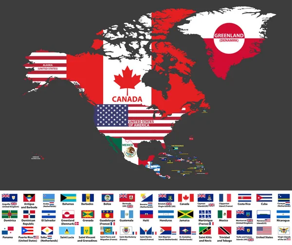
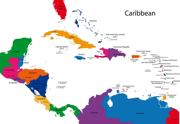
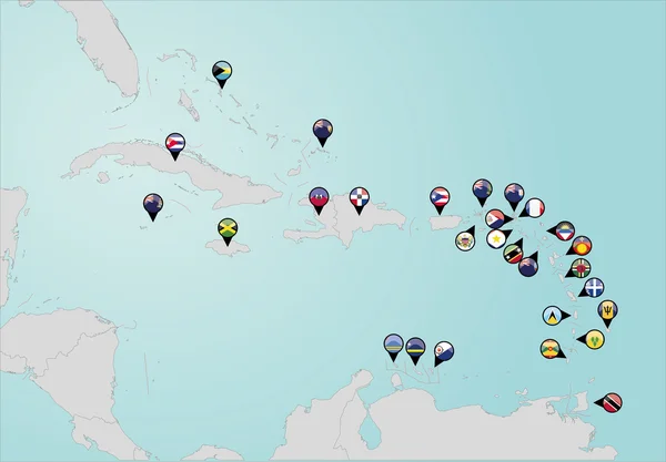
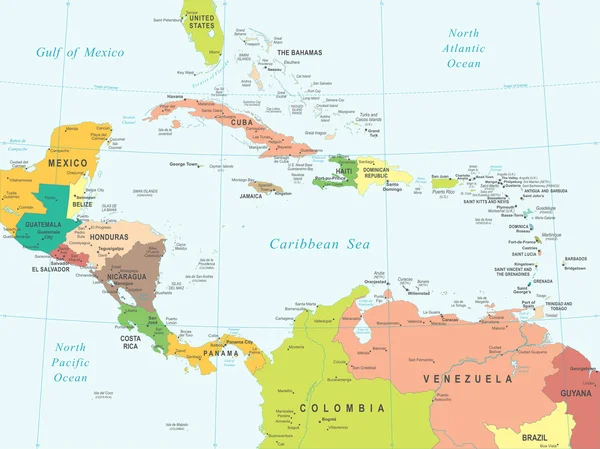
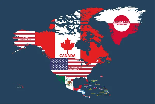
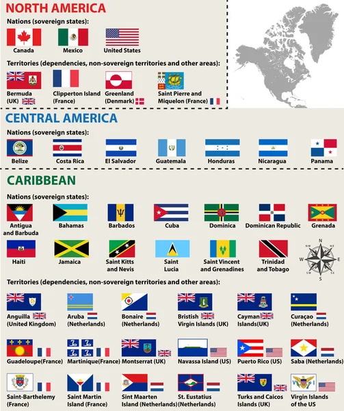
Vector Illustration Of North America Map (include Northern America, Central America And Caribbean Regions) With Country Names And Flags Of Countries.
Vector, 13.27MB, 8334 × 7009 eps

Black Location Map Of The Honduran Atlntida Department Inside Gray Map Of Honduras
Vector, 0.6MB, 6004 × 3533 eps
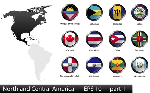
High Detailed National Flags Of North And Central American Countries, Clipped In Round Shape Glossy Metal Buttons, Vector, Part 1
Vector, 9.16MB, 5760 × 3600 eps

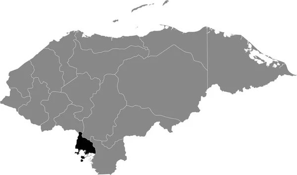
Black Location Map Of The Honduran Valle Department Inside Gray Map Of Honduras
Vector, 0.6MB, 6004 × 3533 eps

Black Location Map Of The Honduran Olancho Department Inside Gray Map Of Honduras
Vector, 0.6MB, 6004 × 3533 eps

Black Location Map Of The Honduran Islas De La Baha Department Inside Gray Map Of Honduras
Vector, 0.6MB, 6004 × 3533 eps


Caribbean On Digital Planet Earth With International Network Representing Communication, Travel And Connections. 3D Illustration. Elements Of This Image Furnished By NASA.
Image, 15.57MB, 5000 × 3750 jpg

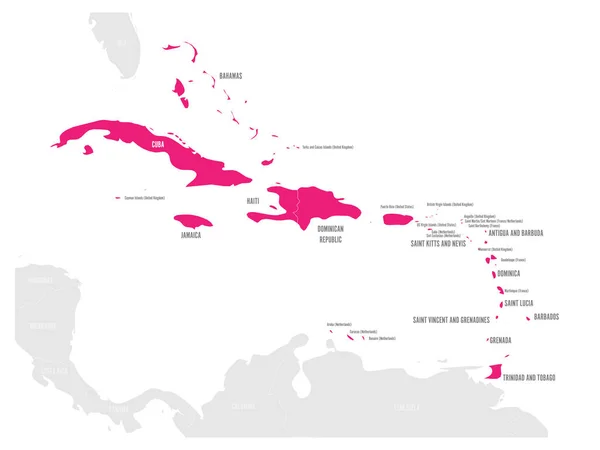
Political Map Of Carribean. Pink Highlighted States And Dependent Territories. Simple Flat Vector Illustration
Vector, 1.2MB, 6000 × 4500 eps

Vector Illustration Of North America Map (include Northern America, Central America And Caribbean Regions) With Country Names And Flags Of Countries.
Vector, 13.59MB, 8334 × 5618 eps


Vector Map Saint Vincent And The Grenadines. Isolated Vector Illustration. Black On White Background. EPS 10 Illustration.
Vector, 0.6MB, 5000 × 5000 eps
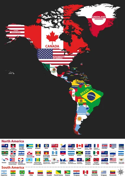
Vector Illustration Of North And South America Map With Country Names And Flags Of Countries
Vector, 13.86MB, 5917 × 8334 eps
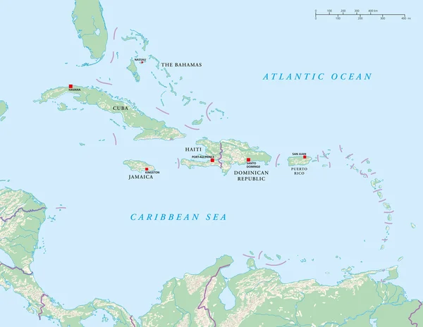
Political Map Of Carribean. Gray Lands On White Background. Simple Flat Vector Illustration
Vector, 1.2MB, 6000 × 4500 eps
Black Location Map Of The Honduran Copn Department Inside Gray Map Of Honduras
Vector, 0.6MB, 6004 × 3533 eps
Vector Isolated Flags Of North America(include Central America And Caribbean Countries)
Vector, 14.36MB, 8348 × 9936 eps

Black Location Map Of The Honduran Coln Department Inside Gray Map Of Honduras
Vector, 0.6MB, 6004 × 3533 eps

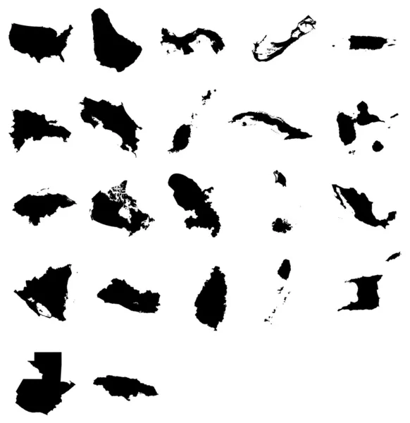
Black Map Collection, Black Contour Maps Of World. Map Collection Part 9.
Vector, 0.4MB, 5170 × 5000 eps
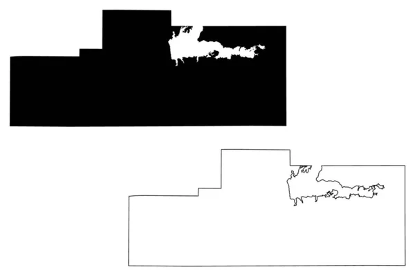
Grenada County, Mississippi (U.S. County, United States Of America, USA, U.S., US) Map Vector Illustration, Scribble Sketch Grenada Map
Vector, 0.76MB, 7087 × 4726 eps


Set Of Flags In The Form Of A Glossy Textured Label Or Bookmark. Yemen Vatican Indonesia Guinea Bissau Guinea Grenada Ghana Gambia Gabon East Timor
Vector, 3.61MB, 5850 × 3900 eps
Previous << Page 3 >> Next