photo free
Home Images Vectors Videos

Stock image Hampshire Boundary

stock vector New Hampshire vector map silhouette isolated on white background. High detailed silhouette illustration. United state of America country.

New Hampshire Vector Map Silhouette Isolated On White Background. High Detailed Silhouette Illustration. United State Of America Country.

Vector, 0.24MB, 2243 × 4325 eps
stock image New Hampshire (USA) map

New Hampshire (USA) Map

Image, 1.5MB, 3192 × 4472 jpg
stock vector New Hampshire network map.

New Hampshire Network Map.

Vector, 6.22MB, 8333 × 8333 eps
stock vector New Hampshire

New Hampshire

Vector, 1.09MB, 2410 × 4259 eps
stock vector Outline map of the United States of America. States of the USA.

Outline Map Of The United States Of America. States Of The USA.

Vector, 0.4MB, 5001 × 5001 eps
stock image New Hampshire Red Abstract 3D State Map United States America

New Hampshire Red Abstract 3D State Map United States America

Image, 3.2MB, 4096 × 4096 jpg
stock vector new hampshire

New Hampshire

Vector, 2.72MB, 4000 × 5000 eps
stock vector New Hampshire outline map set

New Hampshire Outline Map Set

Vector, 0.27MB, 4197 × 4919 eps
stock vector New Hampshire NH State Border USA Map Solid

New Hampshire NH State Border USA Map Solid

Vector, 5.4MB, 8334 × 8334 eps
stock vector New hampshire map icon. New hampshire icon vector

New Hampshire Map Icon. New Hampshire Icon Vector

Vector, 0.21MB, 4375 × 4375 eps
stock vector New Hampshire USA state map shape with flag. Map of New Hampshire in the New Hampshire flag colors. Outline map filled with its flag colors. Vector illustration.

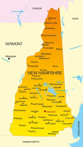
New Hampshire USA State Map Shape With Flag. Map Of New Hampshire In The New Hampshire Flag Colors. Outline Map Filled With Its Flag Colors. Vector Illustration.

Vector, 5.55MB, 5000 × 3800 eps
stock vector Northeast, census region of the United States of America, gray political map of census region 1, consisting of 9 single states. Map with geographical borders and capitals. Isolated illustration.

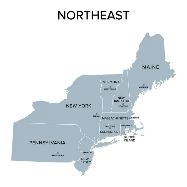
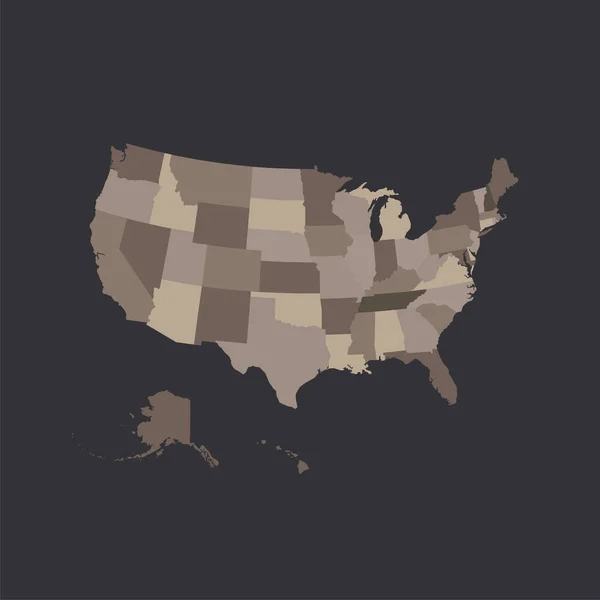
Northeast, Census Region Of The United States Of America, Gray Political Map Of Census Region 1, Consisting Of 9 Single States. Map With Geographical Borders And Capitals. Isolated Illustration.

Vector, 2.09MB, 6000 × 6000 eps
stock vector Northeast, U.S. census region, multi colored political map. Census region 1 of the United States, consisting of 9 single states. Colored silhouettes of single states with borders and their capitals.

Northeast, U.S. Census Region, Multi Colored Political Map. Census Region 1 Of The United States, Consisting Of 9 Single States. Colored Silhouettes Of Single States With Borders And Their Capitals.

Vector, 2.1MB, 6000 × 6000 eps
stock vector new york administrative map

New York Administrative Map

Vector, 1.37MB, 4539 × 3390 eps
stock vector England administrative divisions map. Metropolitan and non-metropolitan counties and unitary authorities. Blue vector map with labels.

England Administrative Divisions Map. Metropolitan And Non-metropolitan Counties And Unitary Authorities. Blue Vector Map With Labels.

Vector, 0.94MB, 8000 × 8000 eps
stock vector Hampshire map, ceremonial county of England. Vector illustration.

Hampshire Map, Ceremonial County Of England. Vector Illustration.

Vector, 5.32MB, 8334 × 8334 eps
stock image Hampshire State of the United States with Counties Boundary Lines

Hampshire State Of The United States With Counties Boundary Lines

Image, 0.41MB, 3500 × 2000 jpg
stock vector New Hampshire state counties, political map. New Hampshire, a state in the New England region of the Northeastern United States, is subdivided into ten counties. Map with boundaries and county names.

New Hampshire State Counties, Political Map. New Hampshire, A State In The New England Region Of The Northeastern United States, Is Subdivided Into Ten Counties. Map With Boundaries And County Names.

Vector, 2.12MB, 6000 × 9000 eps
stock vector Massachusetts map

Massachusetts Map

Vector, 4.33MB, 5502 × 4691 eps
stock vector road map of the US American State of New York

Road Map Of The US American State Of New York

Vector, 1.81MB, 4521 × 3412 eps
stock vector New Hampshire NH State Border USA Map Outline

New Hampshire NH State Border USA Map Outline

Vector, 5.46MB, 8334 × 8334 eps
stock vector New Hampshire state counties, gray political map. New Hampshire, a state in the New England region of the Northeastern United States, subdivided into 10 counties. Map with boundaries and county names.

New Hampshire State Counties, Gray Political Map. New Hampshire, A State In The New England Region Of The Northeastern United States, Subdivided Into 10 Counties. Map With Boundaries And County Names.

Vector, 1.4MB, 5107 × 9000 eps
stock vector New Hampshire, U.S. state, subdivided into 10 counties, multi colored political map with capital Concord, borders and county names. State in the New England region of Northeastern USA. Granite State.

New Hampshire, U.S. State, Subdivided Into 10 Counties, Multi Colored Political Map With Capital Concord, Borders And County Names. State In The New England Region Of Northeastern USA. Granite State.

Vector, 1.42MB, 5107 × 9000 eps
Page 1 >> Next