photo free
Home Images Vectors Videos

Stock image Houston Boundary

stock vector Texas map on a bull head vector logo

Texas Map On A Bull Head Vector Logo

Vector, 0.63MB, 6650 × 7000 eps
stock vector Texas map

Texas Map

Vector, 1.58MB, 4724 × 4724 eps
stock image Texas isolated map

Texas Isolated Map

Image, 0.72MB, 5000 × 5000 jpg
stock vector Vector illustration of administrative division map of Texas. Vector map.

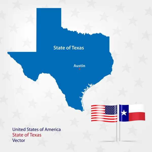
Vector Illustration Of Administrative Division Map Of Texas. Vector Map.

Vector, 1.73MB, 4500 × 4500 eps
stock vector Vector hand drawn stylized map of The United States of America. Travel illustration of USA cities. Hand drawn lettering illustration. North America map element

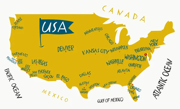
Vector Hand Drawn Stylized Map Of The United States Of America. Travel Illustration Of USA Cities. Hand Drawn Lettering Illustration. North America Map Element

Vector, 0.5MB, 6600 × 4000 eps
stock vector Old Texas state map with flag on a white background.

Old Texas State Map With Flag On A White Background.

Vector, 1.31MB, 8334 × 8334 eps
stock vector Texas map

Texas Map

Vector, 1.11MB, 4724 × 4724 eps
stock vector Ballotbox Map Texas

Ballotbox Map Texas

Vector, 2.56MB, 5906 × 5906 eps
stock vector Texas line art map

Texas Line Art Map

Vector, 3.67MB, 5000 × 5000 eps
stock vector Harris County, Texas (Counties in Texas, United States of America,USA, U.S., US) map vector illustration, scribble sketch Harris map

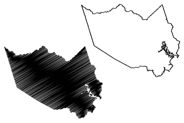
Harris County, Texas (Counties In Texas, United States Of America,USA, U.S., US) Map Vector Illustration, Scribble Sketch Harris Map

Vector, 0.79MB, 7087 × 4726 eps
stock vector administrative county map of the federal state of texas by population density

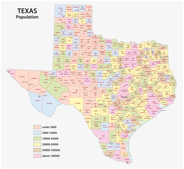
Administrative County Map Of The Federal State Of Texas By Population Density

Vector, 3.15MB, 4856 × 4468 eps
stock vector Texas map

Texas Map

Vector, 4.42MB, 4541 × 5474 eps
stock vector 3D map of Texas (United States of America, The Lone Star State) - black, red, blue and green - vector illustration

3D Map Of Texas (United States Of America, The Lone Star State) - Black, Red, Blue And Green - Vector Illustration

Vector, 0.52MB, 7087 × 4724 eps
stock vector Texas map love heart logo vector illustration design

Texas Map Love Heart Logo Vector Illustration Design

Vector, 6.7MB, 5201 × 3467 eps
stock image Welcome to Texas sign - panorama view with trees in background

Welcome To Texas Sign - Panorama View With Trees In Background

Image, 0MB, 5249 × 2357 jpg
stock vector Vector illustration of the Entering Houston City Limit green road sign

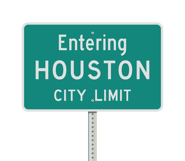
Vector Illustration Of The Entering Houston City Limit Green Road Sign

Vector, 0.49MB, 7000 × 6095 ai
stock vector Texas, United States, political map

Texas, United States, Political Map

Vector, 3.71MB, 8033 × 8033 eps
stock vector Texas outline map set

Texas Outline Map Set

Vector, 0.54MB, 4956 × 5005 eps
stock vector Houston County, Georgia (U.S. county, United States of America,USA, U.S., US) map vector illustration, scribble sketch Houston map

Houston County, Georgia (U.S. County, United States Of America,USA, U.S., US) Map Vector Illustration, Scribble Sketch Houston Map

Vector, 0.79MB, 7087 × 4726 eps
stock vector Texas, U.S. state, gray political map with borders and county names. State in the South Central region of the United States, subdivided into 254 counties. Nicknamed The Lone Star State. Illustration

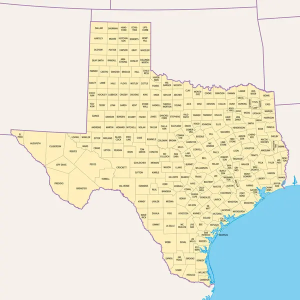
Texas, U.S. State, Gray Political Map With Borders And County Names. State In The South Central Region Of The United States, Subdivided Into 254 Counties. Nicknamed The Lone Star State. Illustration

Vector, 4.35MB, 6000 × 6000 eps
stock image Bridge of Weir, UK, July 14th 2024, Welcome to Renfrewshire sign at area boundary

Bridge Of Weir, UK, July 14th 2024, Welcome To Renfrewshire Sign At Area Boundary

Image, 11.03MB, 4000 × 3000 jpg
stock vector Map Texas State

Map Texas State

Vector, 2.32MB, 5906 × 5906 eps
stock vector Texas, U.S. state, political map with borders and county names. State in the South Central region of the United States, subdivided into 254 counties. Nicknamed The Lone Star State. Illustration

Texas, U.S. State, Political Map With Borders And County Names. State In The South Central Region Of The United States, Subdivided Into 254 Counties. Nicknamed The Lone Star State. Illustration

Vector, 5.07MB, 6000 × 6000 eps
stock image Map of Houston County in Texas state on white background. single County map highlighted by black colour on Texas map. UNITED STATES, US

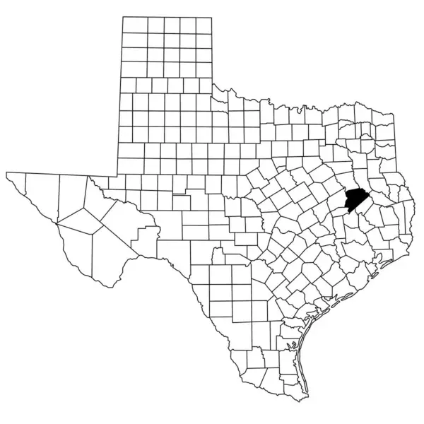
Map Of Houston County In Texas State On White Background. Single County Map Highlighted By Black Colour On Texas Map. UNITED STATES, US

Image, 6.5MB, 8000 × 8000 jpg
stock vector Texas, U.S. state, multi colored political map with borders, county names and capital Austin. State in the South Central region of the United States, subdivided into 254 counties. Lone Star State.

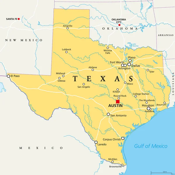
Texas, U.S. State, Multi Colored Political Map With Borders, County Names And Capital Austin. State In The South Central Region Of The United States, Subdivided Into 254 Counties. Lone Star State.

Vector, 4.37MB, 6000 × 6000 eps
Page 1 >> Next