photo free
Home Images Vectors Videos

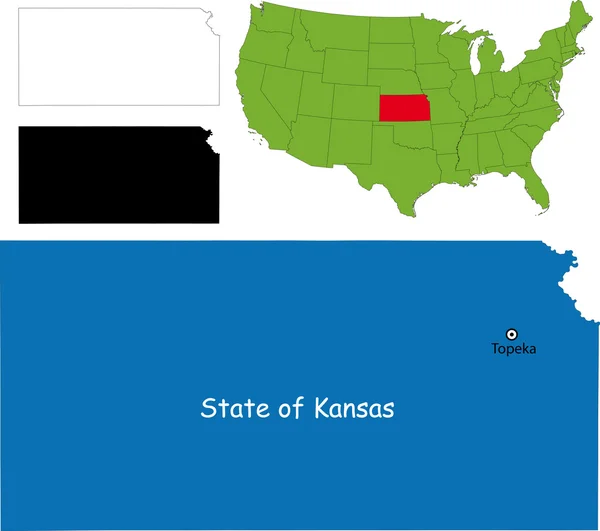
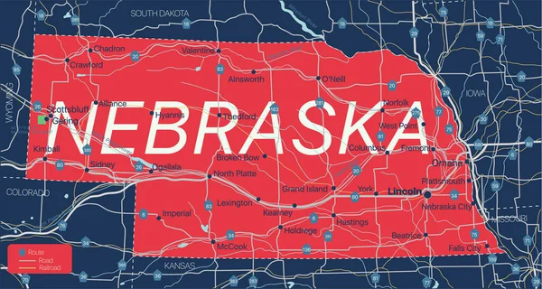
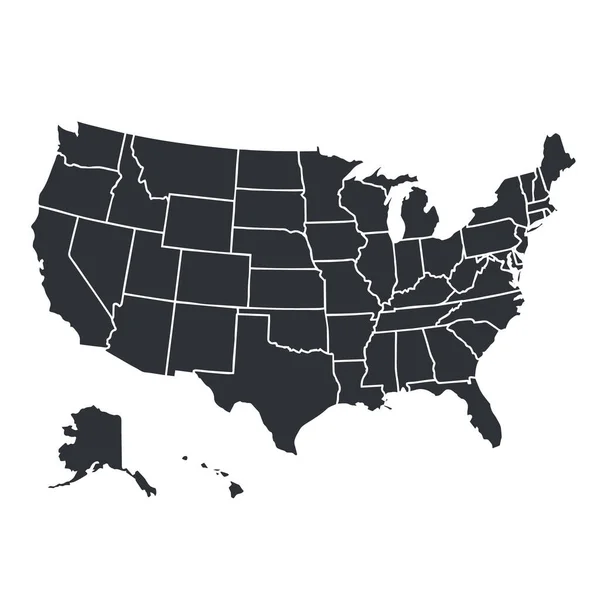
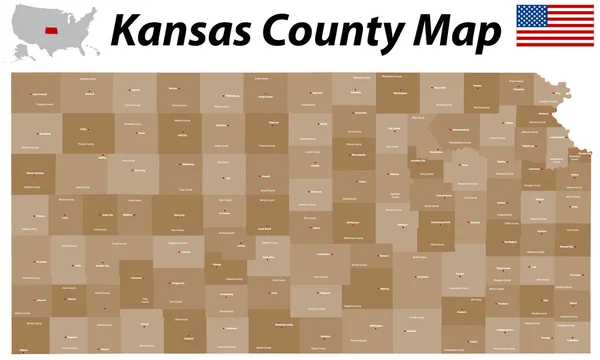
Stock image Kansas County

stock vector Kansas map

Kansas Map

Vector, 7.58MB, 7002 × 7002 eps
stock vector Kansas vector maps counties, townships, regions, municipalities, departments, borders

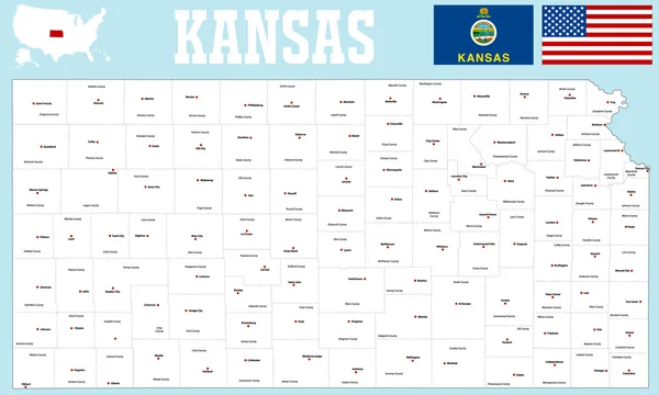
Kansas Vector Maps Counties, Townships, Regions, Municipalities, Departments, Borders

Vector, 5.12MB, 4705 × 4045 eps
stock vector Accurate map of Kansas

Accurate Map Of Kansas

Vector, 0.64MB, 5000 × 4000 eps
stock vector Kansas County Map

Kansas County Map

Vector, 0.88MB, 5000 × 3000 ai
stock image Kansas City Skyline with Kit Bond Bridge

Kansas City Skyline With Kit Bond Bridge

Image, 5.86MB, 4000 × 2653 jpg
stock vector Flag of  Kansas from brush strokes. United States of America. Flag Kansas on transparent background for your web site design, logo, app, UI. Stock vector. EPS10

Flag Of Kansas From Brush Strokes. United States Of America. Flag Kansas On Transparent Background For Your Web Site Design, Logo, App, UI. Stock Vector. EPS10

Vector, 4.19MB, 5000 × 5000 eps
stock vector kansas road map with flag

Kansas Road Map With Flag

Vector, 1.72MB, 6518 × 3100 eps
stock vector Missouri County Map

Missouri County Map

Vector, 0.96MB, 5000 × 5000 ai
stock vector USA State counties emblem map

USA State Counties Emblem Map

Vector, 0MB, 5136 × 5168 zip
stock vector Missouri map

Missouri Map

Vector, 9.23MB, 7002 × 7002 eps
stock vector Missouri County Map

Missouri County Map

Vector, 0.91MB, 5000 × 5000 ai
stock vector Map of the United States of America

Map Of The United States Of America

Vector, 2.33MB, 5000 × 3123 ai
stock vector Map of Hamilton in Kansas

Map Of Hamilton In Kansas

Vector, 0.24MB, 5000 × 4000 eps
stock vector Kansas map

Kansas Map

Vector, 3.83MB, 5202 × 4609 eps
stock vector Map of Cherokee in Kansas

Map Of Cherokee In Kansas

Vector, 0.24MB, 5000 × 4000 eps
stock vector Vector hand drawn stylized map of The United States of America. Travel illustration of USA states. Hand drawn lettering illustration. North America map element

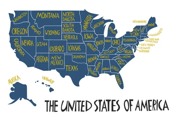
Vector Hand Drawn Stylized Map Of The United States Of America. Travel Illustration Of USA States. Hand Drawn Lettering Illustration. North America Map Element

Vector, 0.64MB, 6000 × 4000 eps
stock vector Accurate map of Kansas

Accurate Map Of Kansas

Vector, 0.66MB, 5000 × 4000 eps
stock vector blue vector map of United States with indication of Kansas

Blue Vector Map Of United States With Indication Of Kansas

Vector, 1.73MB, 4600 × 3450 eps
stock vector Accurate map of Kansas

Accurate Map Of Kansas

Vector, 0.7MB, 5000 × 4000 eps
stock image Kansas City Missouri Skyline without Trademarks

Kansas City Missouri Skyline Without Trademarks

Image, 8.12MB, 4000 × 2667 jpg
stock vector abstract map of Missouri on grey background

Abstract Map Of Missouri On Grey Background

Vector, 1.57MB, 4000 × 4000 eps
stock image Wichita, Kansas, USA downtown skyline at dusk.

Wichita, Kansas, USA Downtown Skyline At Dusk.

Image, 23.8MB, 8257 × 5508 jpg
stock image Kansas City Missourri Clay County Downtown City Skyline Sunrise

Kansas City Missourri Clay County Downtown City Skyline Sunrise

Image, 9.02MB, 6048 × 3419 jpg
stock image Wichita, Kansas, USA downtown skyline

Wichita, Kansas, USA Downtown Skyline

Image, 25.8MB, 8256 × 5504 jpg
stock vector blue abstract map of Missouri

Blue Abstract Map Of Missouri

Vector, 1.56MB, 4000 × 4000 eps
stock vector Arkansas

Arkansas

Vector, 0.92MB, 3644 × 3598 eps
stock vector Vector hand drawn stylized map of The United States of America. Travel illustration of USA cities. Hand drawn lettering illustration. North America map element

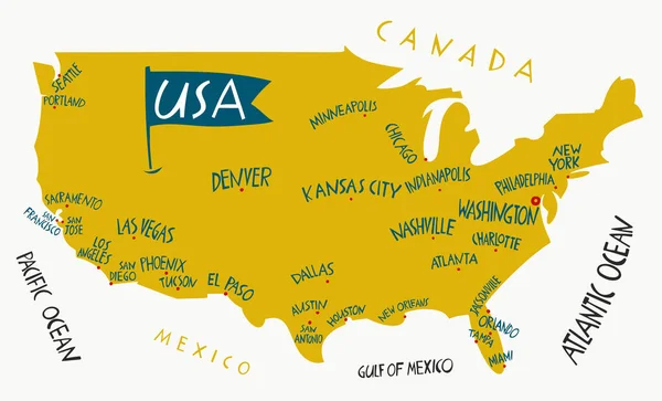
Vector Hand Drawn Stylized Map Of The United States Of America. Travel Illustration Of USA Cities. Hand Drawn Lettering Illustration. North America Map Element

Vector, 0.5MB, 6600 × 4000 eps
stock image Wichita, Kansas, USA downtown skyline at dusk.

Wichita, Kansas, USA Downtown Skyline At Dusk.

Image, 25.53MB, 8256 × 5504 jpg
stock vector abstract outline of Kansas map

Abstract Outline Of Kansas Map

Vector, 1.35MB, 4800 × 3360 eps
stock vector Colorado - Kansas - Oklahoma - Missouri Map labelled black

Colorado - Kansas - Oklahoma - Missouri Map Labelled Black

Vector, 3.49MB, 10079 × 5000 eps
stock vector Kansas USA Map black inverted silhouette

Kansas USA Map Black Inverted Silhouette

Vector, 4.65MB, 8047 × 5000 eps
stock vector Nebraska state detailed editable map

Nebraska State Detailed Editable Map

Vector, 0.96MB, 7069 × 3773 eps
stock vector California state map silhouette in the United States

California State Map Silhouette In The United States

Vector, 0.03MB, 5000 × 3000 eps
stock vector Yellow map of Missouri with indication of largest cities

Yellow Map Of Missouri With Indication Of Largest Cities

Vector, 1.61MB, 4000 × 4000 eps
stock image Kansas City, Missouri, USA on March 22, 2014.  A image of the Kansas City Scout overlooking Kansas City at sunrise.  The Indian Scout is known as a Kansas City landmark and symbol of the city. The scout overlooks the Kansas City Skyline.

Kansas City, Missouri, USA On March 22, 2014. A Image Of The Kansas City Scout Overlooking Kansas City At Sunrise. The Indian Scout Is Known As A Kansas City Landmark And Symbol Of The City. The Scout Overlooks The Kansas City Skyline.

Image, 0MB, 4896 × 3264 jpg
stock vector road map of the US American State of kansas

Road Map Of The US American State Of Kansas

Vector, 1.24MB, 5832 × 3100 eps
stock vector USA map silhouette isolated on white. United States of America country. Vector illustration.

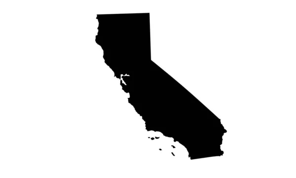
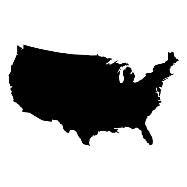
USA Map Silhouette Isolated On White. United States Of America Country. Vector Illustration.

Vector, 0.64MB, 4000 × 4000 eps
stock vector usa map on white background. flat style. United States of America map. usa vector map.

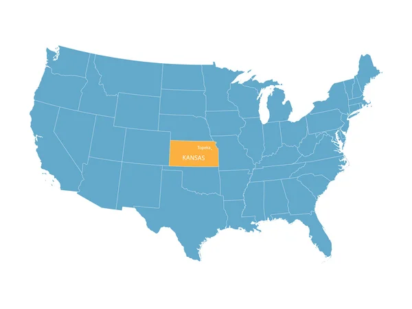
Usa Map On White Background. Flat Style. United States Of America Map. Usa Vector Map.

Vector, 5.57MB, 5000 × 5000 eps
stock vector Vector set 7 of 10 Highly detailed silhouettes of US state maps, divided into counties with names and territory nicknames

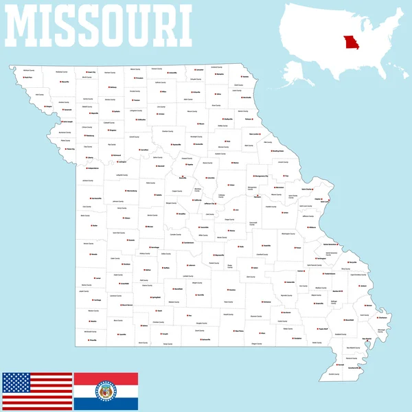
Vector Set 7 Of 10 Highly Detailed Silhouettes Of US State Maps, Divided Into Counties With Names And Territory Nicknames

Vector, 5.89MB, 9585 × 3348 eps
stock vector High Quality map of Kansas is a state of United States of America with borders of the counties

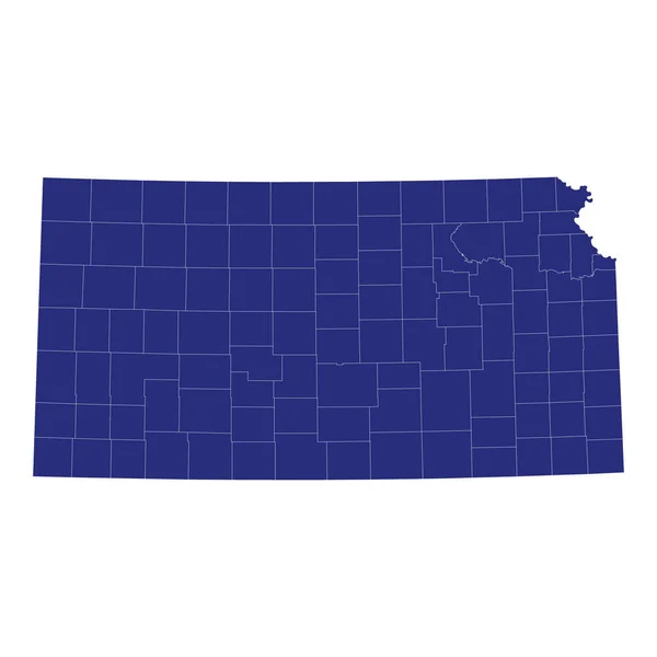
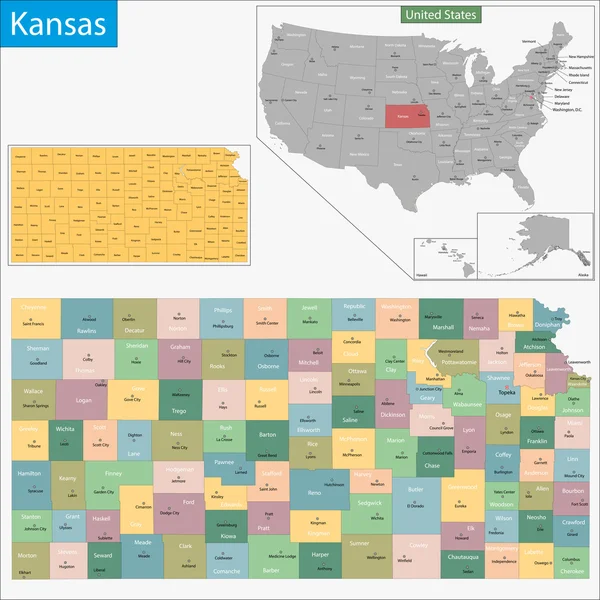
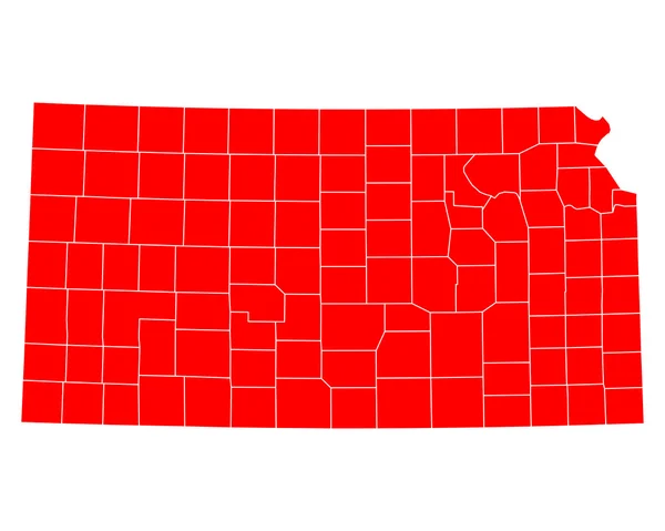
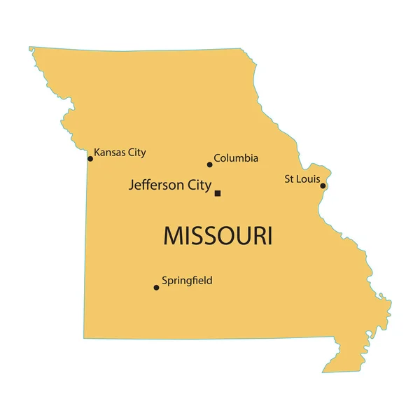
High Quality Map Of Kansas Is A State Of United States Of America With Borders Of The Counties

Vector, 0.96MB, 4000 × 4000 eps
stock image Castle Rock in Kansas prairie

Castle Rock In Kansas Prairie

Image, 18.6MB, 5100 × 3400 jpg
stock vector Black map of Missouri map

Black Map Of Missouri Map

Vector, 1.55MB, 4000 × 4000 eps
stock image US State Maps Set I

US State Maps Set I

Image, 20.16MB, 7500 × 7500 jpg
stock image WICHITA, KANSAS - AUGUS 31, 2018: The confluence of the Arkansas and Little Arkansas River at the Keeper of the Plains near downtown Wichita at dawn.

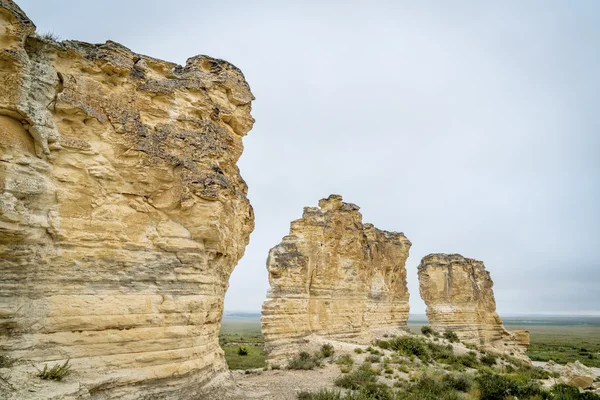
WICHITA, KANSAS - AUGUS 31, 2018: The Confluence Of The Arkansas And Little Arkansas River At The Keeper Of The Plains Near Downtown Wichita At Dawn.

Image, 21.04MB, 5504 × 8256 jpg
stock vector Blue map of Missouri with indication of Jefferson City

Blue Map Of Missouri With Indication Of Jefferson City

Vector, 1.57MB, 4000 × 4000 eps
stock vector Colorado state detailed editable map

Colorado State Detailed Editable Map

Vector, 1.07MB, 7000 × 5291 eps
stock vector Kansas County Map

Kansas County Map

Vector, 0.82MB, 5000 × 3000 ai
stock vector Kansas state outline administrative and political vector map in black and white

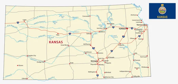
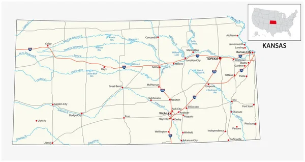
Kansas State Outline Administrative And Political Vector Map In Black And White

Vector, 1.06MB, 4182 × 3100 eps
stock image Castle Rock in Kansas prairie

Castle Rock In Kansas Prairie

Image, 9.11MB, 6000 × 4002 jpg
stock image limestone pilars in Kansas prairie

Limestone Pilars In Kansas Prairie

Image, 14.38MB, 6000 × 4002 jpg
Page 1 >> Next