photo free
Home Images Vectors Videos

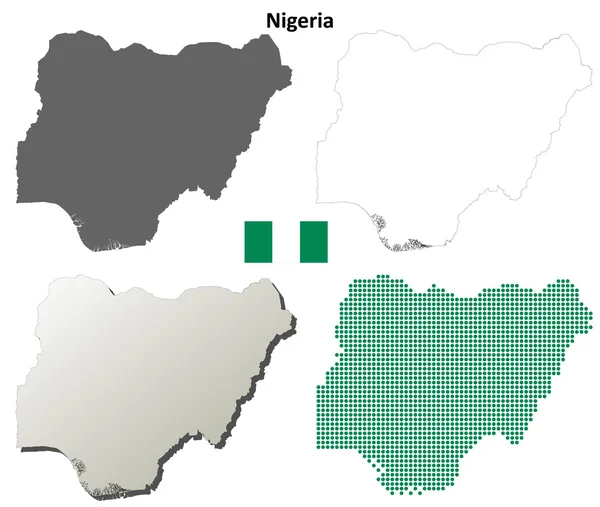
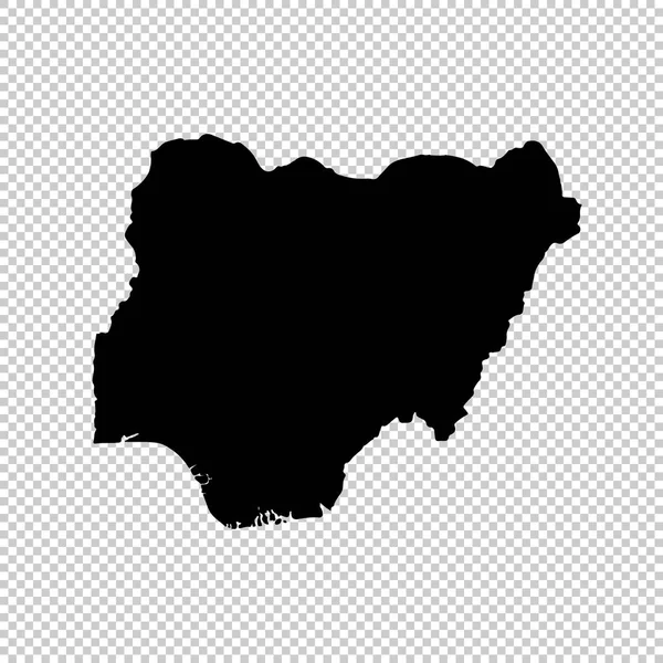
Stock image Nigeria Outline Map

stock vector Nigeria outline map set

Nigeria Outline Map Set

Vector, 3.97MB, 5417 × 4583 eps
stock vector Outline Simple Map of Nigeria

Outline Simple Map Of Nigeria

Vector, 0.33MB, 2401 × 2401 eps
stock vector Map flag Nigeria

Map Flag Nigeria

Vector, 2.75MB, 3333 × 3333 eps
stock vector Nigeria map with flag inside and ribbon

Nigeria Map With Flag Inside And Ribbon

Vector, 0.76MB, 4167 × 4167 eps
stock vector Nigeria map with shadow effect

Nigeria Map With Shadow Effect

Vector, 2.94MB, 5418 × 4092 eps
stock vector Nigeria blank outline map set

Nigeria Blank Outline Map Set

Vector, 15.2MB, 6000 × 3000 eps
stock vector Doodle Map of Nigeria With States

Doodle Map Of Nigeria With States

Vector, 2.58MB, 2401 × 2401 eps
stock vector Map flag Nigeria

Map Flag Nigeria

Vector, 1.94MB, 3333 × 3333 eps
stock vector Official current vector coat of arms of the Federal Republic of Nigeria

Official Current Vector Coat Of Arms Of The Federal Republic Of Nigeria

Vector, 1.15MB, 5400 × 4600 eps
stock vector Nigeria flat landmarks vector illustration. Nigeria line city with famous travel sights, skyline, design.

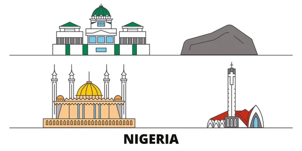
Nigeria Flat Landmarks Vector Illustration. Nigeria Line City With Famous Travel Sights, Skyline, Design.

Vector, 3.08MB, 6000 × 3000 eps
stock image map Nigeria. Isolated Illustration. Black on White background.

Map Nigeria. Isolated Illustration. Black On White Background.

Image, 1.3MB, 5000 × 5000 jpg
stock vector Nigeria administrative map

Nigeria Administrative Map

Vector, 1.14MB, 4402 × 3472 eps
stock vector Abstract mash line and point scales on dark background with Map of nigeria. Wire frame 3D mesh polygonal network line, design sphere, dot and structure. communications map of nigeria. Vector.

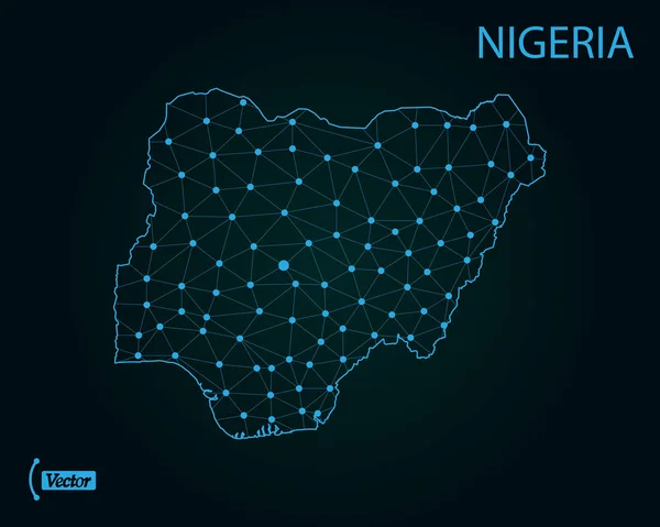
Abstract Mash Line And Point Scales On Dark Background With Map Of Nigeria. Wire Frame 3D Mesh Polygonal Network Line, Design Sphere, Dot And Structure. Communications Map Of Nigeria. Vector.

Vector, 1.13MB, 5000 × 3500 eps
stock vector OPEC, Organization of the Petroleum Exporting Countries. World map with black highlighted member states since 2017. Vector illustration

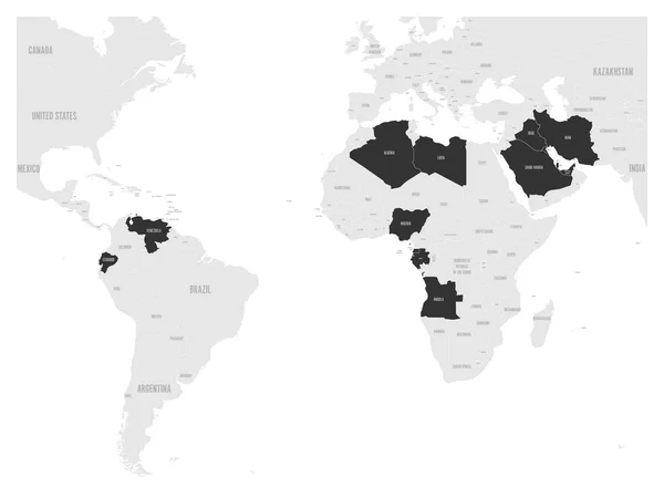
OPEC, Organization Of The Petroleum Exporting Countries. World Map With Black Highlighted Member States Since 2017. Vector Illustration

Vector, 2.11MB, 6000 × 4500 eps
stock vector Satellite map of Abuja, Nigeria, city streets. Street map, city center. Africa

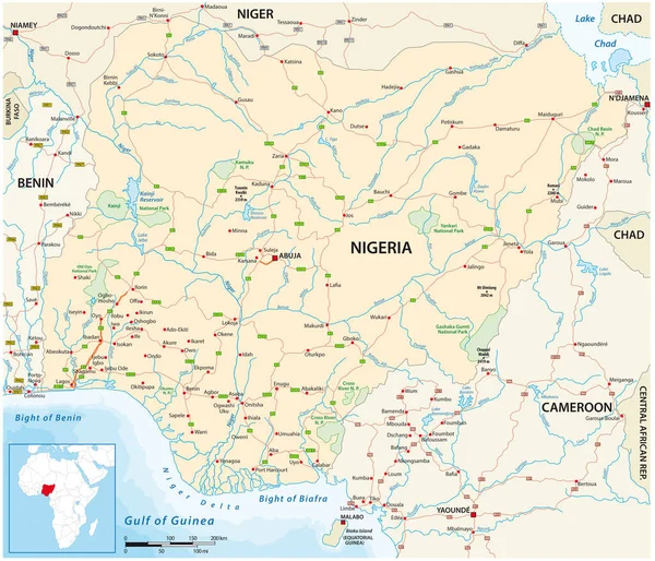
Satellite Map Of Abuja, Nigeria, City Streets. Street Map, City Center. Africa

Vector, 4.67MB, 10409 × 5992 eps
stock vector Location Map of Nigeria on map Africa. 3d Federal Republic of Nigeria flag map marker location pin. High quality map of Nigeria.  Vector illustration EPS10.

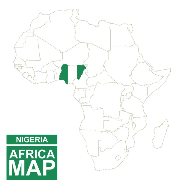
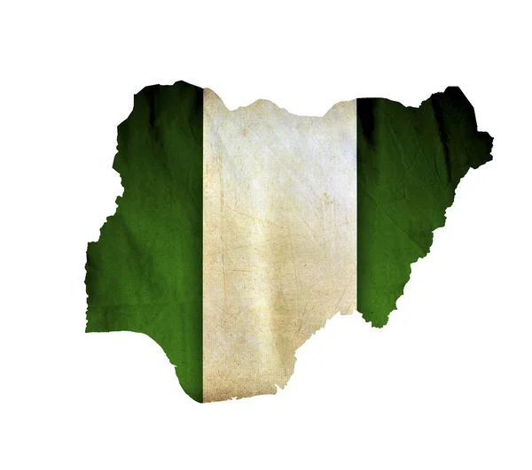
Location Map Of Nigeria On Map Africa. 3d Federal Republic Of Nigeria Flag Map Marker Location Pin. High Quality Map Of Nigeria. Vector Illustration EPS10.

Vector, 7.64MB, 6960 × 6669 eps
stock vector Map of Nigeria. Vector illustration

Map Of Nigeria. Vector Illustration

Vector, 0.75MB, 6250 × 5000 eps
stock vector Flag of Nigeria

Flag Of Nigeria

Vector, 7.17MB, 9450 × 5544 eps
stock vector Africa contoured map with highlighted Senegal.

Africa Contoured Map With Highlighted Senegal.

Vector, 1.26MB, 5000 × 5000 eps
stock vector Nigeria road map

Nigeria Road Map

Vector, 0.96MB, 4403 × 3472 eps
stock vector Vector road map of the West African state of Nigeria

Vector Road Map Of The West African State Of Nigeria

Vector, 2.72MB, 3615 × 3100 eps
stock vector Africa map. High detailed political map of african continent with country, capital, ocean and sea names labeling

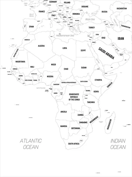
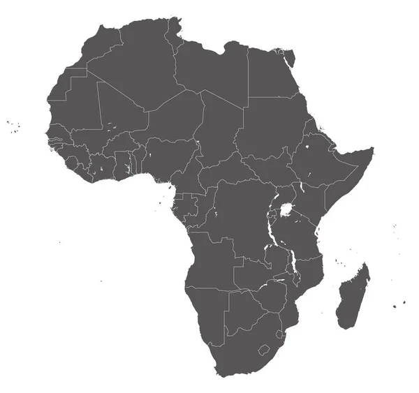
Africa Map. High Detailed Political Map Of African Continent With Country, Capital, Ocean And Sea Names Labeling

Vector, 4.09MB, 4500 × 6000 eps
stock vector Africa contoured map with highlighted Equatorial Guinea.

Africa Contoured Map With Highlighted Equatorial Guinea.

Vector, 1.31MB, 5000 × 5000 eps
stock vector Africa contoured map with highlighted Niger.

Africa Contoured Map With Highlighted Niger.

Vector, 1.26MB, 5000 × 5000 eps
stock vector Africa contoured map with highlighted Gabon.

Africa Contoured Map With Highlighted Gabon.

Vector, 1.26MB, 5000 × 5000 eps
stock vector Africa contoured map with highlighted Ivory Coast.

Africa Contoured Map With Highlighted Ivory Coast.

Vector, 1.26MB, 5000 × 5000 eps
stock vector Western Africa map. High detailed political map of western african and Bay of Guinea region with country, capital, ocean and sea names labeling

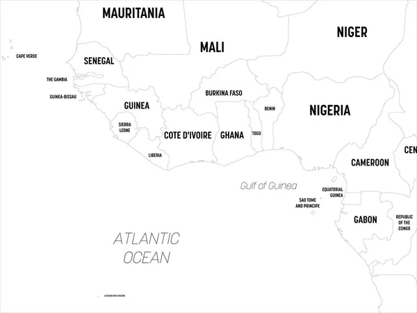
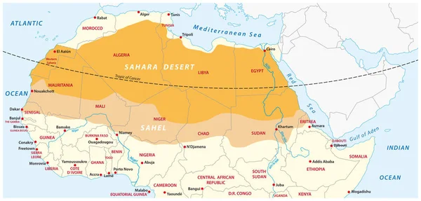
Western Africa Map. High Detailed Political Map Of Western African And Bay Of Guinea Region With Country, Capital, Ocean And Sea Names Labeling

Vector, 1.47MB, 6000 × 4500 eps
stock vector Abstract Africa map of glowing radial dots. Vector

Abstract Africa Map Of Glowing Radial Dots. Vector

Vector, 4.6MB, 4441 × 4440 eps
stock vector Grey Africa map on white background

Grey Africa Map On White Background

Vector, 1.91MB, 5359 × 5033 eps
stock vector Africa contoured map with highlighted Sierra Leone.

Africa Contoured Map With Highlighted Sierra Leone.

Vector, 1.26MB, 5000 × 5000 eps
stock vector Africa contoured map with highlighted Guinea.

Africa Contoured Map With Highlighted Guinea.

Vector, 1.26MB, 5000 × 5000 eps
stock vector Outline maps of African countries collection, black lined vector map.

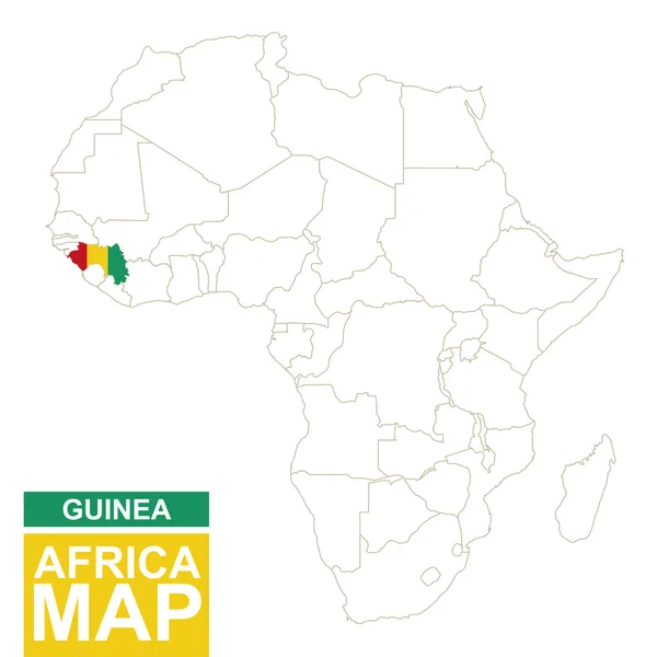
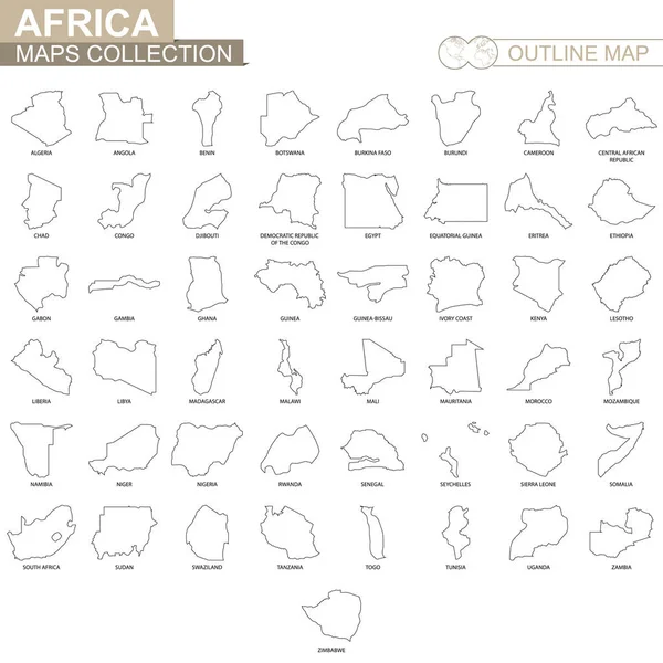
Outline Maps Of African Countries Collection, Black Lined Vector Map.

Vector, 2.04MB, 5000 × 5000 eps
stock vector Map of Nigeria

Map Of Nigeria

Vector, 1.42MB, 4000 × 4000 eps
stock image Map outline of Nigeria with flag grunge paper effect

Map Outline Of Nigeria With Flag Grunge Paper Effect

Image, 2.57MB, 3000 × 2262 jpg
stock vector Nigeria map with borders, cities, capital and administrative divisions. Infographic vector map. Editable layers clearly labeled.

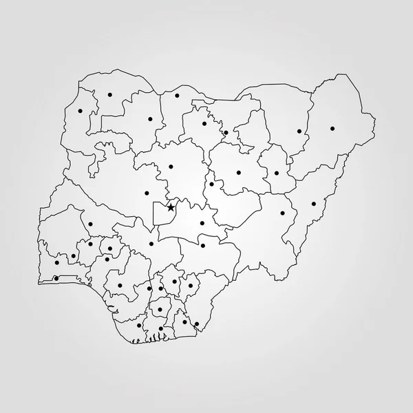
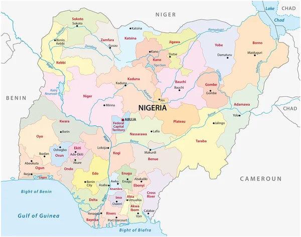
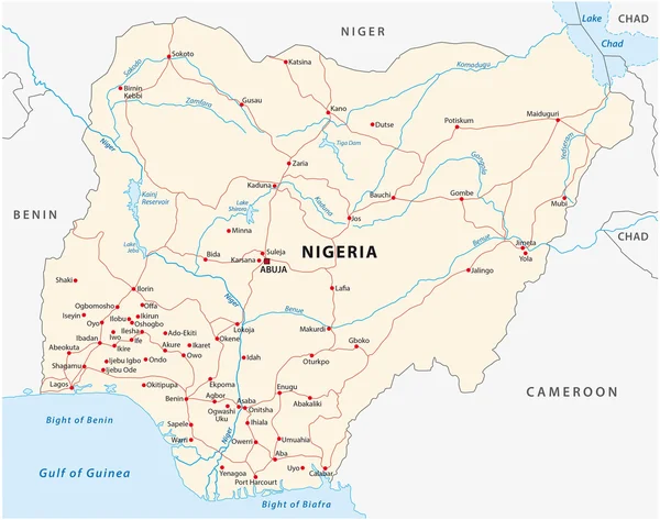
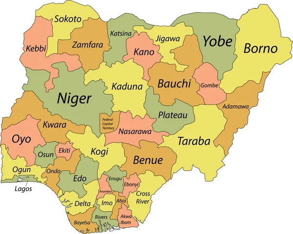
Nigeria Map With Borders, Cities, Capital And Administrative Divisions. Infographic Vector Map. Editable Layers Clearly Labeled.

Vector, 2.37MB, 3000 × 3000 eps
stock vector Vector illustration of Africa black outline map with countries. Vector map.

Vector Illustration Of Africa Black Outline Map With Countries. Vector Map.

Vector, 0.99MB, 4500 × 4500 eps
stock vector Africa contoured map with highlighted Benin.

Africa Contoured Map With Highlighted Benin.

Vector, 1.25MB, 5000 × 5000 eps
stock vector Map of the Sahara desert and Sahel zone

Map Of The Sahara Desert And Sahel Zone

Vector, 1.04MB, 6468 × 3100 eps
stock vector Map of Nigeria

Map Of Nigeria

Vector, 1.87MB, 5000 × 4000 eps
stock image Africa map colorful, new political detailed map, separate individual states, with state city and sea names, natural paper 3D shadow blank

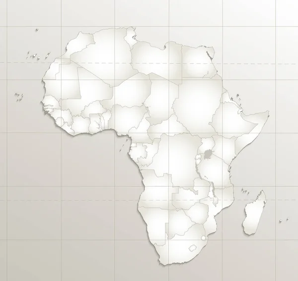
Africa Map Colorful, New Political Detailed Map, Separate Individual States, With State City And Sea Names, Natural Paper 3D Shadow Blank

Image, 1.61MB, 4231 × 4000 jpg
stock vector Africa contoured map with highlighted Nigeria.

Africa Contoured Map With Highlighted Nigeria.

Vector, 1.26MB, 5000 × 5000 eps
stock vector Africa contoured map with highlighted Cameroon.

Africa Contoured Map With Highlighted Cameroon.

Vector, 1.26MB, 5000 × 5000 eps
stock vector Nigeria map, black and white detailed outline regions of the country.

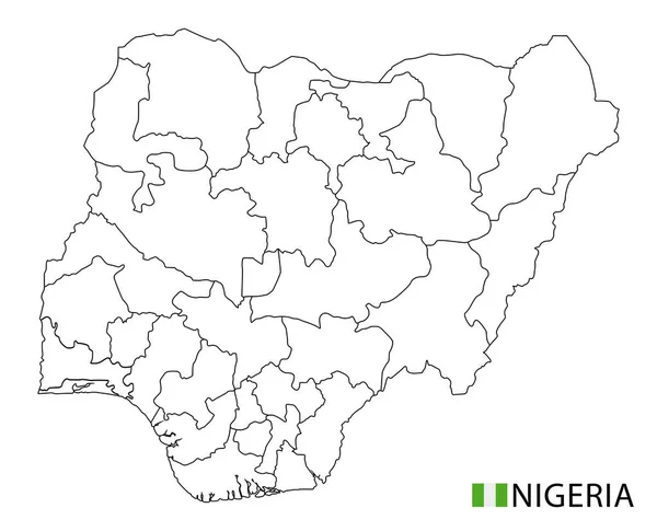
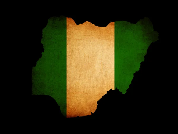
Nigeria Map, Black And White Detailed Outline Regions Of The Country.

Vector, 1.41MB, 6644 × 5381 eps
stock vector Map of Nigeria

Map Of Nigeria

Vector, 1.83MB, 4000 × 4000 eps
stock vector Southern Africa map. High detailed political map of southern african region with country, capital, ocean and sea names labeling

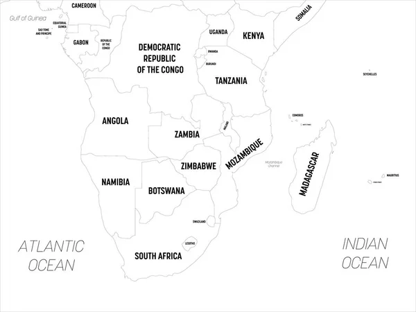
Southern Africa Map. High Detailed Political Map Of Southern African Region With Country, Capital, Ocean And Sea Names Labeling

Vector, 1.61MB, 6000 × 4500 eps
stock image Map of Nigeria isolated

Map Of Nigeria Isolated

Image, 3.69MB, 3216 × 2848 jpg
stock vector African country set

African Country Set

Vector, 13.52MB, 7000 × 6999 eps
stock vector African country set

African Country Set

Vector, 11.16MB, 7000 × 6999 eps
stock vector Pastel vector map of the Federal Republic of Nigeria with black borders and names of its states

Pastel Vector Map Of The Federal Republic Of Nigeria With Black Borders And Names Of Its States

Vector, 0.9MB, 5505 × 4410 eps
stock vector Highly detailed vector map of Togo with administrative regions, main cities and roads.

Highly Detailed Vector Map Of Togo With Administrative Regions, Main Cities And Roads.

Vector, 2.33MB, 4062 × 5000 eps
Page 1 >> Next