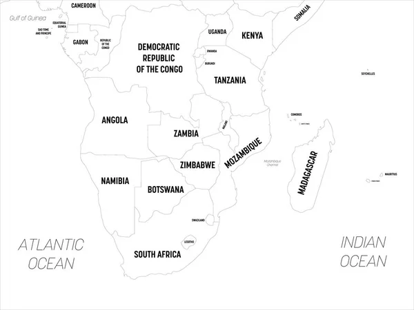
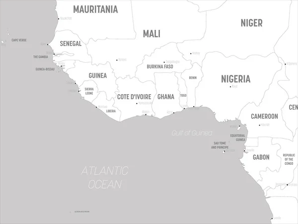
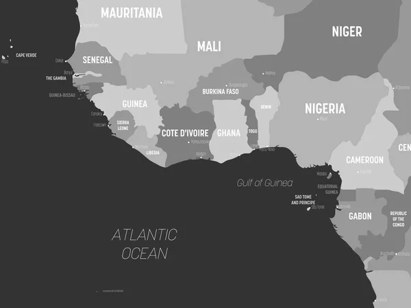
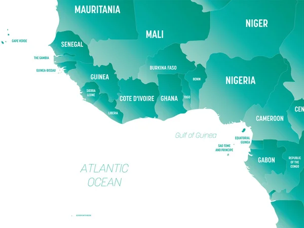
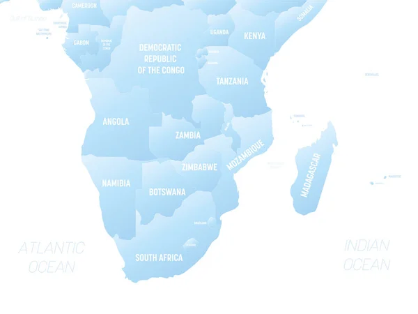
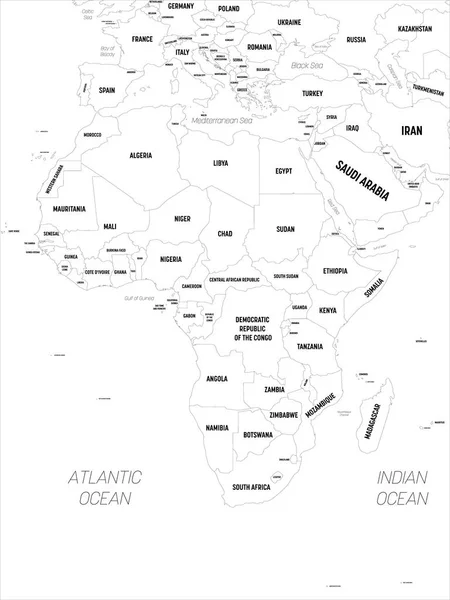
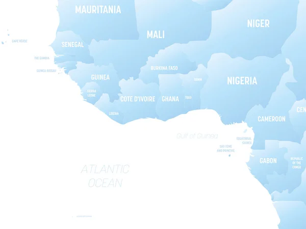
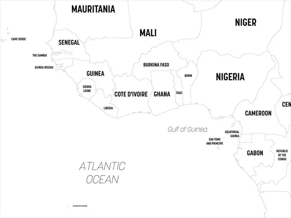
Stock vector Western Africa map. High detailed political map of western african and Bay of Guinea region with country, capital, ocean and sea names labeling
Published: Apr.21, 2020 09:23:03
Author: pyty
Views: 37
Downloads: 1
File type: vector / eps
File size: 1.47 MB
Orginal size: 6000 x 4500 px
Available sizes:
Level: silver