photo free
Home Images Vectors Videos

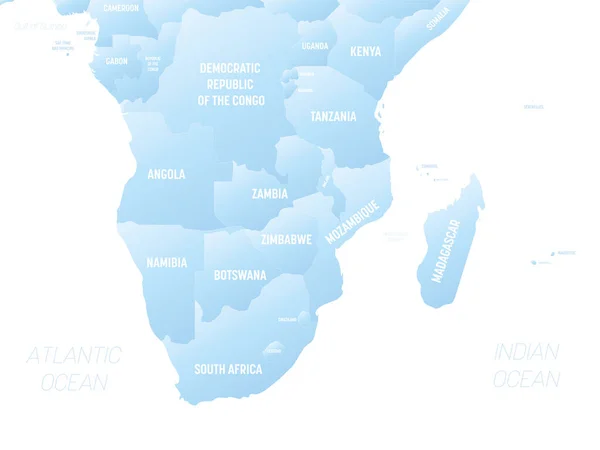
Stock vector Southern Africa map. High detailed political map of southern african region with country, capital, ocean and sea names labeling
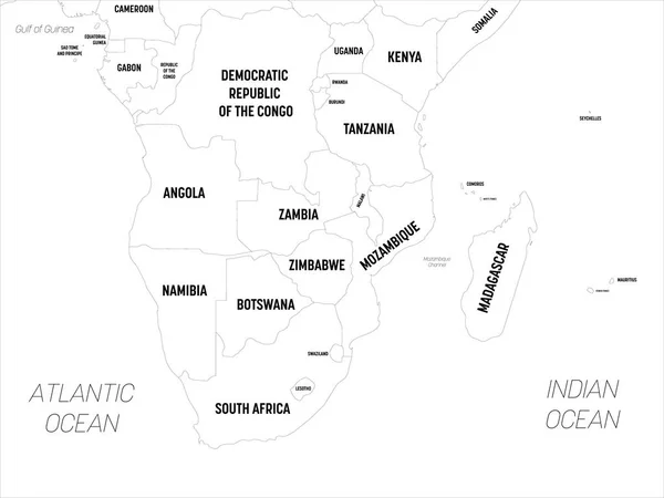
Stock vector Southern Africa map. High detailed political map of southern african region with country, capital, ocean and sea names labeling
Published: Apr.21, 2020 09:23:03
Author: pyty
Views: 9
Downloads: 1
File type: vector / eps
File size: 1.61 MB
Orginal size: 6000 x 4500 px
Available sizes:
S
(500 x 375)
M
(1000 x 750)
L
(2000 x 1500)
XL
(6000 x 4500)
VECT
(6000 x 4500)
EL0
(6000 x 4500)
Level: silver
Download Vector
Vector topics:

Similar stock vectors

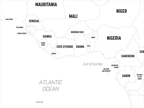
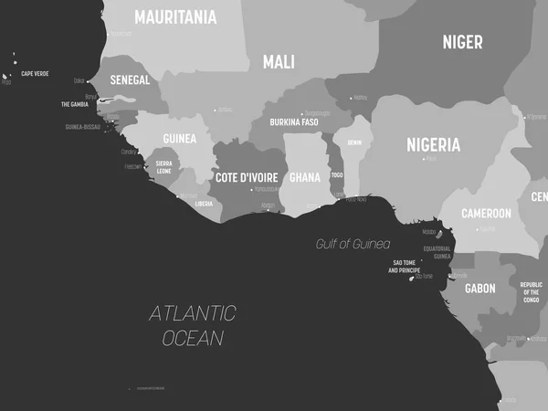
stock vector Western Africa map. High detailed political map of western african and Bay of Guinea region with country, capital, ocean and sea names labeling

Western Africa Map. High Detailed Political Map Of Western African And Bay Of Guinea Region With Country, Capital, Ocean And Sea Names Labeling

6000 × 4500
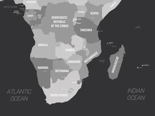
stock vector Southern Africa map - grey colored on dark background. High detailed political map of southern african region with country, capital, ocean and sea names labeling

Southern Africa Map - Grey Colored On Dark Background. High Detailed Political Map Of Southern African Region With Country, Capital, Ocean And Sea Names Labeling

6000 × 4500
stock vector Southern Africa - high detailed political map of southern african region with country, ocean and sea names labeling.

Southern Africa - High Detailed Political Map Of Southern African Region With Country, Ocean And Sea Names Labeling.

8000 × 6000
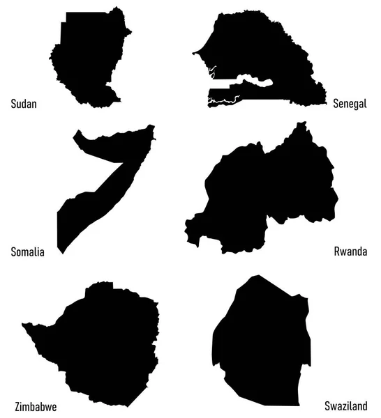
stock vector set silhouettes of Africa countries vector

Set Silhouettes Of Africa Countries Vector

4662 × 5125
stock vector Southern Africa - high detailed political map of southern african region with country, ocean and sea names labeling.

Southern Africa - High Detailed Political Map Of Southern African Region With Country, Ocean And Sea Names Labeling.

8000 × 6000
stock vector Southern Africa map - white lands and grey water. High detailed political map of southern african region with country, capital, ocean and sea names labeling

Southern Africa Map - White Lands And Grey Water. High Detailed Political Map Of Southern African Region With Country, Capital, Ocean And Sea Names Labeling

6000 × 4500
stock vector Western Africa map - grey colored on dark background. High detailed political map of western african and Bay of Guinea region with country, capital, ocean and sea names labeling

Western Africa Map - Grey Colored On Dark Background. High Detailed Political Map Of Western African And Bay Of Guinea Region With Country, Capital, Ocean And Sea Names Labeling

6000 × 4500
stock vector Hand drawn political map of Africa.

Hand Drawn Political Map Of Africa.

6001 × 6001