
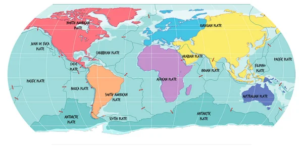
Stock image South American Tectonic Plate

South American Tectonic Plate Enlarged And Extruded The Global Grayscale Elevation Map In The Azimuthal Equidistant Projection With Dashed Plates Borders. 3D Rendering
Image, 2.87MB, 2880 × 1620 jpg
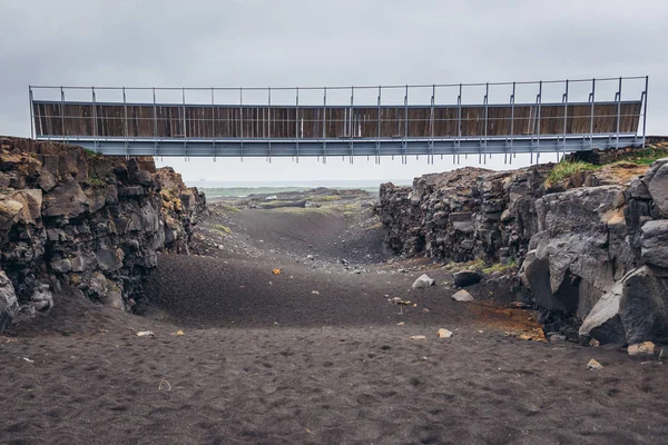
Midlina - The Small Symbolic Footbridge Between Two Continents In Reykjanes Peninsula In Iceland
Image, 7.45MB, 4200 × 2803 jpg


Rocks Next To Symbolic Footbridge Between Two Continents In Reykjanes Peninsula In Iceland
Image, 7.82MB, 4100 × 2737 jpg
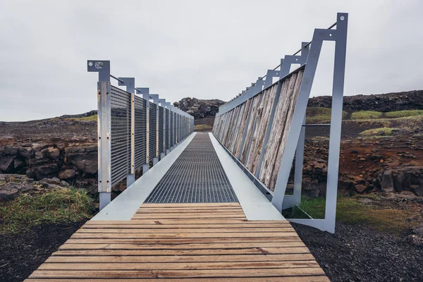
Midlina - The Small Symbolic Footbridge Between Two Continents In Reykjanes Peninsula In Iceland
Image, 7.92MB, 4600 × 3071 jpg
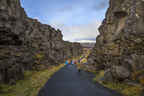
Thingvellir, Iceland - October 10th 2018: Visitors Walking Between The North American And Eurasian Tectonic Plates In The Historic Thingvellir National Park In Iceland.
Image, 27.7MB, 6720 × 4480 jpg


Page 1 >> Next