
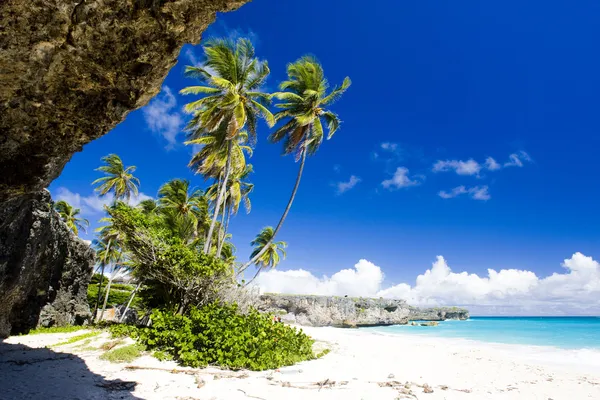
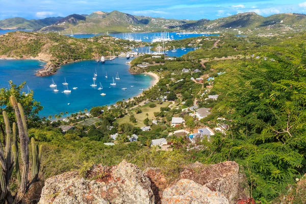
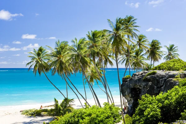
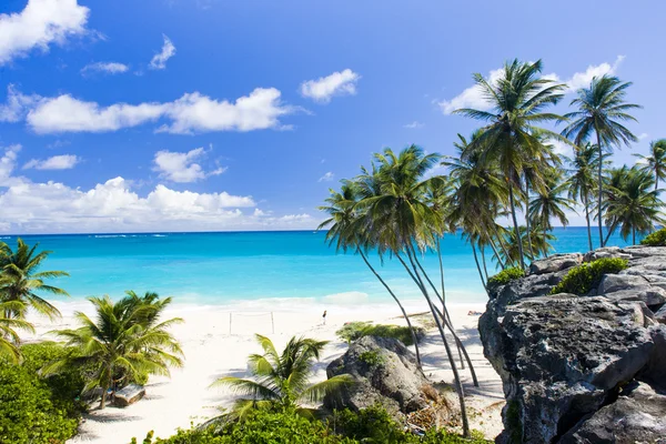
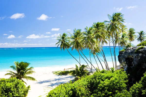
Stock image The Windward Islands
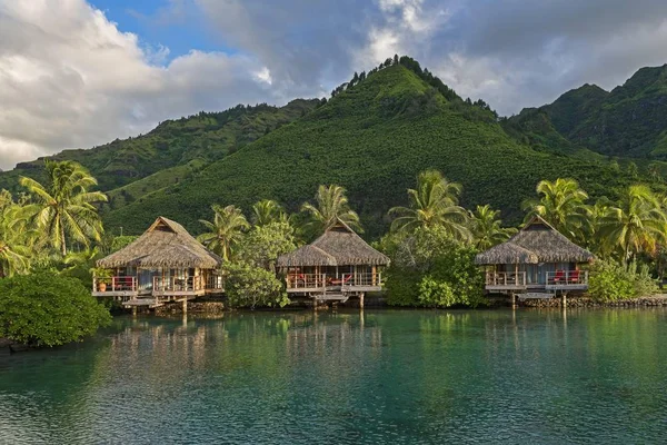
Overwater Bungalows, Evening Atmosphere, Moorea, French Polynesia, Oceania
Image, 5.97MB, 7200 × 4800 jpg

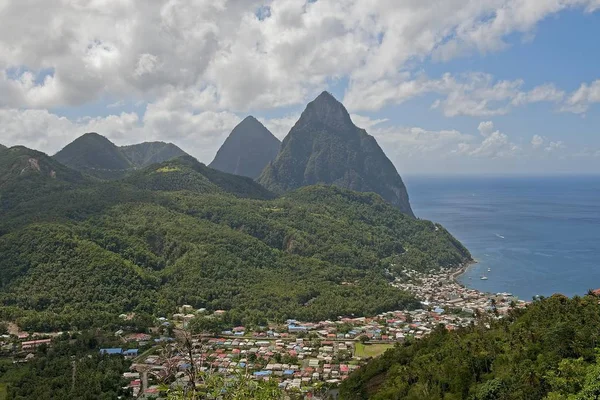
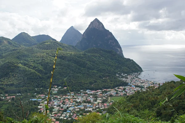
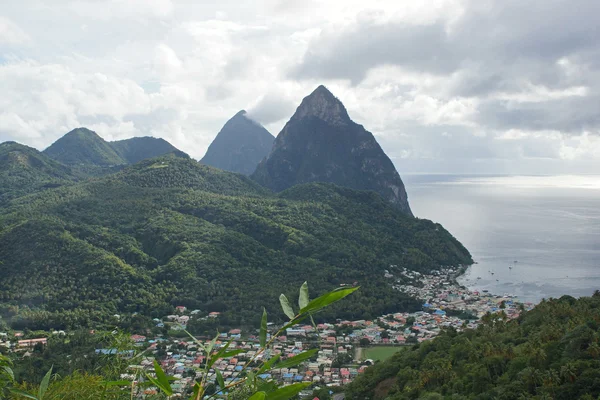
Townscape, The Pitons At The Back, Palmiste, Soufrire, Saint Lucia, Central America
Image, 2.26MB, 5123 × 3415 jpg
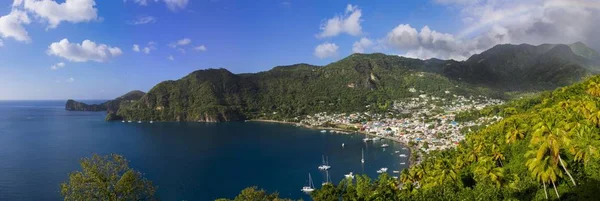
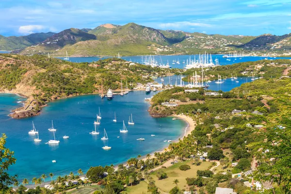
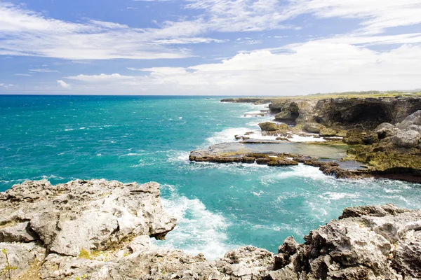
View Of The Coast Of Saint Lucia, Windward Islands, Lesser Antilles, Central America
Image, 5.34MB, 12306 × 4134 jpg

Overwater Bungalows, Evening Atmosphere, Moorea, French Polynesia, Oceania
Image, 3.02MB, 7200 × 4800 jpg

Sailing Cruise Ship Wind Star Of Windstar Cruises In Front Of The Volcanoes Gros Piton, Windward Islands, Lesser Antilles, Central America
Image, 1.16MB, 3621 × 4828 jpg


Fort Shirley In Portsmouth, Dominica, Lesser Antilles, Windward Islands, West Indies, Caribbean
Image, 16.7MB, 6000 × 4000 jpg
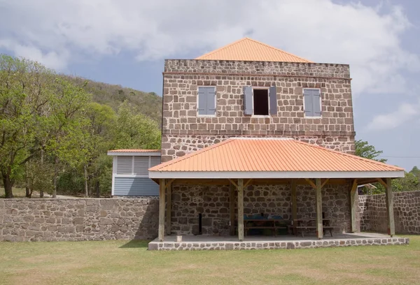
Fort Shirley In Portsmouth, Dominica, Lesser Antilles, Windward Islands, West Indies, Caribbean
Image, 14.66MB, 6101 × 4153 jpg
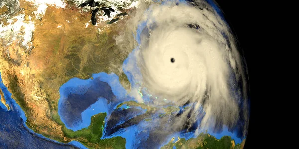
Major Hurricane Earth From Space 3d Image. Elements Of This Image Are Furnished By NASA
Image, 18.48MB, 10000 × 5000 jpg

Fort Shirley In Portsmouth, Dominica, Lesser Antilles, Windward Islands, West Indies, Caribbean
Image, 14.01MB, 6000 × 4000 jpg

Fort Shirley In Portsmouth, Dominica, Lesser Antilles, Windward Islands, West Indies, Caribbean
Image, 16.15MB, 6000 × 4000 jpg


Caribbean From Space On Model Of Planet Earth With City Lights. Very Fine Detail Of The Plastic Planet Surface And Cities. 3D Illustration. Elements Of This Image Furnished By NASA.
Image, 7.86MB, 5000 × 3750 jpg
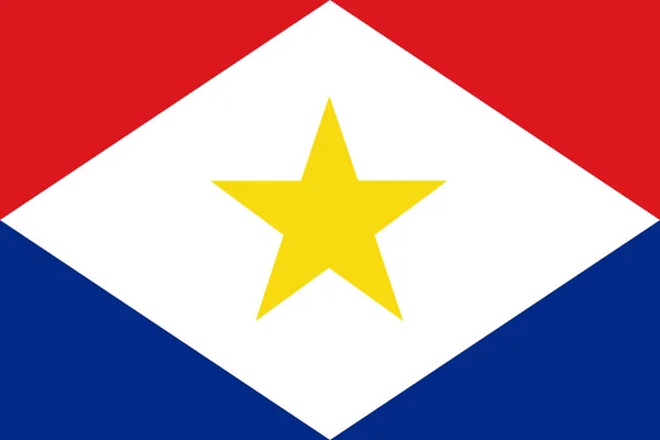
National Flag Of The Saba. The Main Symbol Of An Independent Country. An Attribute Of The Large Size Of A Democratic State Illustration.2021
Image, 1.88MB, 6000 × 4000 jpg


Caribbean From Space On Realistic Model Of Planet Earth With Country Borders And Detailed Planet Surface And Clouds. 3D Illustration. Elements Of This Image Furnished By NASA.
Image, 11.94MB, 5000 × 3750 jpg
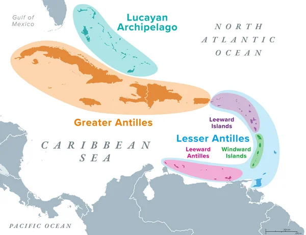
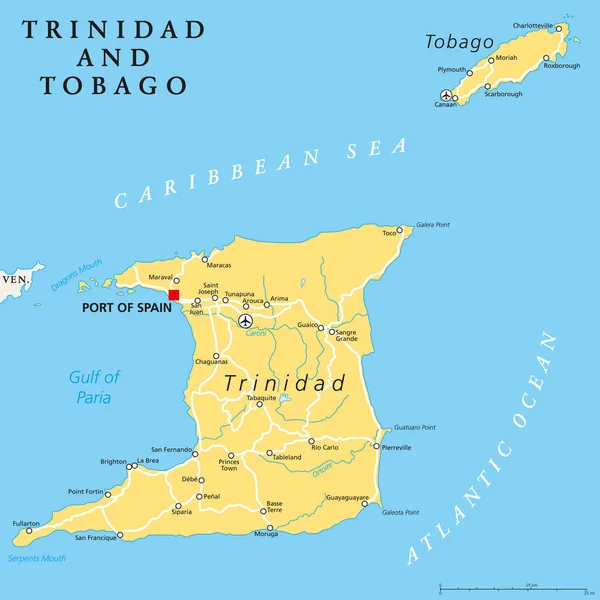
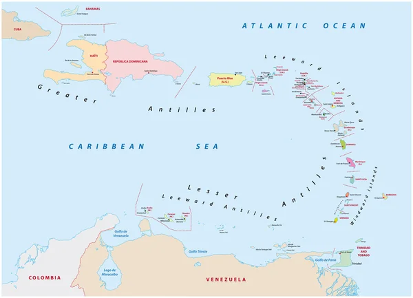
Island Groups Of The West Indies, Political Map. Subregion Of The Americas, Surrounded By North Atlantic Ocean And Caribbean Sea. Greater Antilles, Lesser Antilles, And Lucayan Archipelago.
Vector, 2.91MB, 7793 × 6000 eps


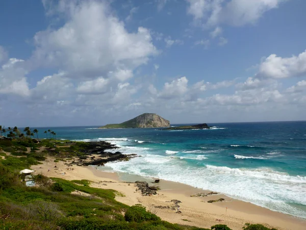
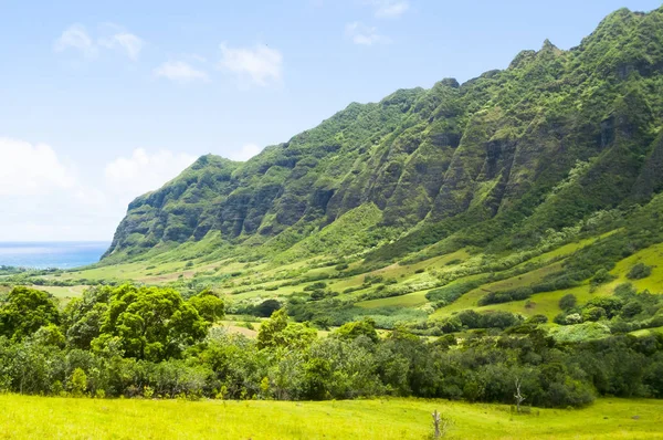
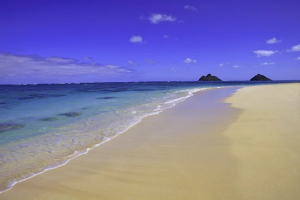
Waves Crash On Makapuu Beach Looking Towards Waimanalo Bay On The Windward Coast Of Oahu, Hawaii.
Image, 6.15MB, 3982 × 2987 jpg

Makapuu Beach Looking Towards Waimanalo Bay On The Windward Coast Of Oahu, Hawaii.
Image, 24.3MB, 6242 × 4165 jpg
Page 1 >> Next