photo free
Home Images Vectors Videos

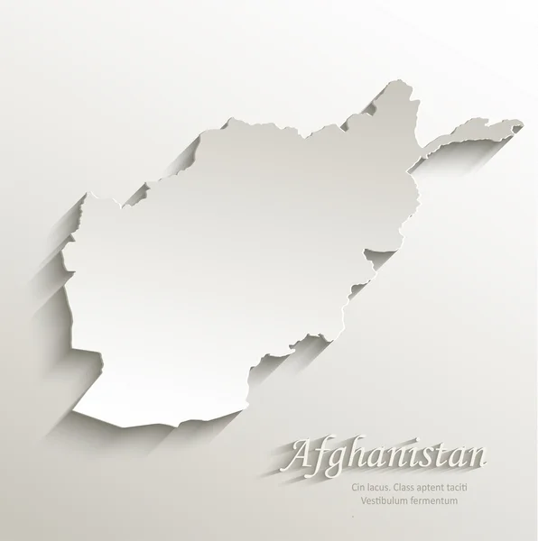
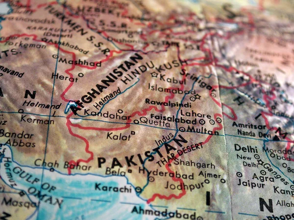
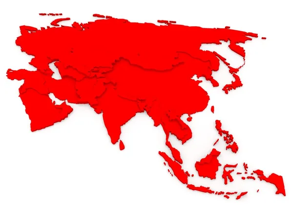
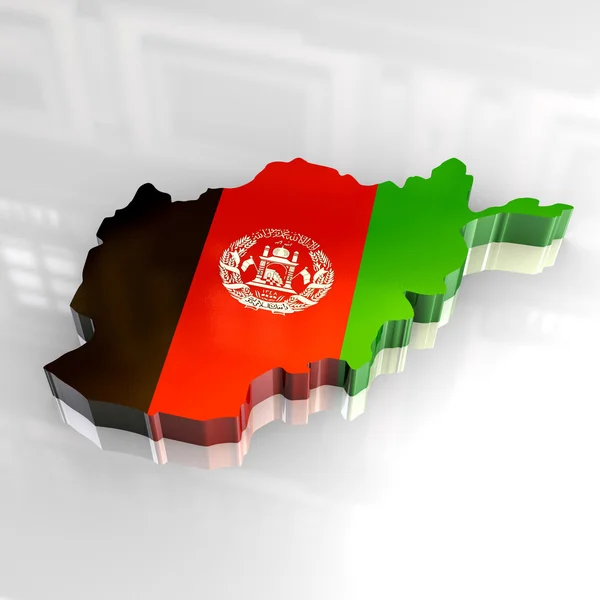
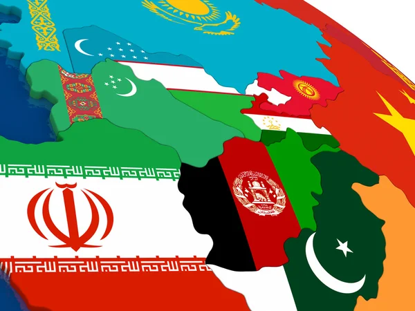
Stock image Afghanistan Map 3d

stock vector Afghanistan Green and yellow modern 3d vector icon logo

Afghanistan Green And Yellow Modern 3d Vector Icon Logo

Vector, 0.07MB, 2401 × 2401 eps
stock vector Abstract of Afghanistan map network, internet and global connect

Abstract Of Afghanistan Map Network, Internet And Global Connect

Vector, 4.66MB, 5000 × 3500 eps
stock image Satellite view of Kunduz map

Satellite View Of Kunduz Map

Image, 10.32MB, 4724 × 3333 jpg
stock image Satellite view of Kabul map

Satellite View Of Kabul Map

Image, 11.93MB, 4724 × 3333 jpg
stock vector Afghanistan map

Afghanistan Map

Vector, 0.42MB, 2800 × 1900 eps
stock image Afghanistan map card paper 3D natural raster

Afghanistan Map Card Paper 3D Natural Raster

Image, 0.73MB, 4000 × 4022 jpg
stock vector Afghanistan map card paper 3D natural vector

Afghanistan Map Card Paper 3D Natural Vector

Vector, 3.61MB, 4000 × 4022 eps
stock image Afghanistan Map and Flag

Afghanistan Map And Flag

Image, 0.4MB, 4000 × 2500 jpg
stock vector Afghanistan flag map pins

Afghanistan Flag Map Pins

Vector, 3.59MB, 4724 × 4724 eps
stock image Detailed Earth. South Asia. Pakistan, Afghanistan, India on a mo

Detailed Earth. South Asia. Pakistan, Afghanistan, India On A Mo

Image, 12.56MB, 5000 × 5000 jpg
stock image Detailed Earth. India and Sri Lanka

Detailed Earth. India And Sri Lanka

Image, 12.36MB, 5000 × 5000 jpg
stock vector Afghanistan on the globe. Earth hemisphere centered at the location of the Islamic Republic of Afghanistan. Afghanistan map.

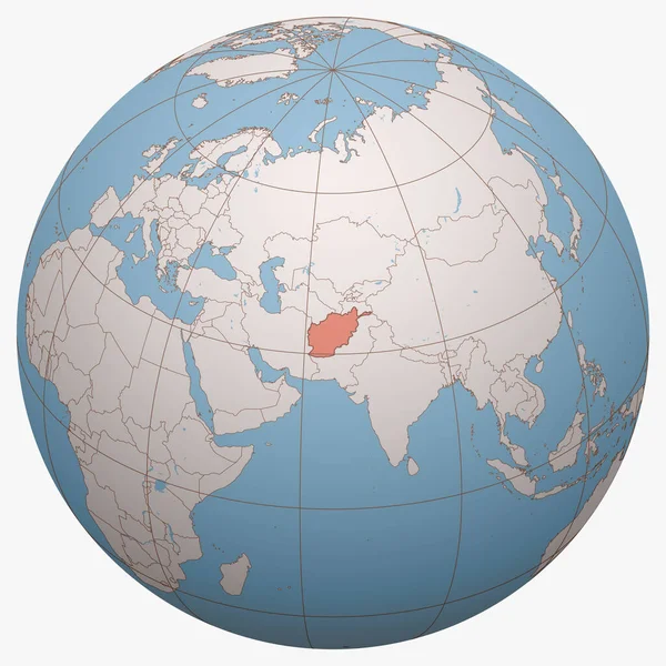
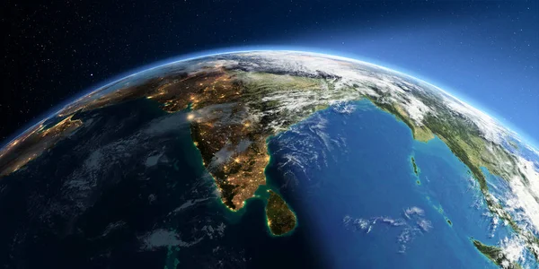
Afghanistan On The Globe. Earth Hemisphere Centered At The Location Of The Islamic Republic Of Afghanistan. Afghanistan Map.

Vector, 9.15MB, 10000 × 10000 eps
stock image map pointer with flag of Afghanistan, 3D rendering

Map Pointer With Flag Of Afghanistan, 3D Rendering

Image, 1.89MB, 6000 × 4000 jpg
stock image Detailed Earth. India and Sri Lanka on a moonlit night

Detailed Earth. India And Sri Lanka On A Moonlit Night

Image, 10.33MB, 5000 × 5000 jpg
stock image Silver Globe - Asia

Silver Globe - Asia

Image, 11.43MB, 4800 × 4800 jpg
stock image Highly detailed Earth. India and Sri Lanka

Highly Detailed Earth. India And Sri Lanka

Image, 10.5MB, 8000 × 4000 jpg
stock image World map focusing on Iran and Afganistan.

World Map Focusing On Iran And Afganistan.

Image, 5.15MB, 2560 × 1920 jpg
stock image Detailed Earth. India and Sri Lanka

Detailed Earth. India And Sri Lanka

Image, 9.58MB, 8000 × 4000 jpg
stock image Detailed Earth at night. India and Sri Lanka

Detailed Earth At Night. India And Sri Lanka

Image, 8.57MB, 8000 × 4000 jpg
stock image Detailed Earth on white background. India and Sri Lanka

Detailed Earth On White Background. India And Sri Lanka

Image, 10.82MB, 8000 × 4000 jpg
stock image Russia real relief

Russia Real Relief

Image, 6.91MB, 4200 × 4200 jpg
stock image Detailed Earth at night. South Asia. Pakistan, Afghanistan, Indi

Detailed Earth At Night. South Asia. Pakistan, Afghanistan, Indi

Image, 16.93MB, 8000 × 4000 jpg
stock image Russia from space

Russia From Space

Image, 10.36MB, 4200 × 4200 jpg
stock vector Set of 9 isometric map and flag, 3D vector isometric shape.

Set Of 9 Isometric Map And Flag, 3D Vector Isometric Shape.

Vector, 5.49MB, 5170 × 5000 eps
stock vector Detailed Pakistan administrative map with country flag and location on a blue globe. Vector illustration

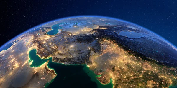
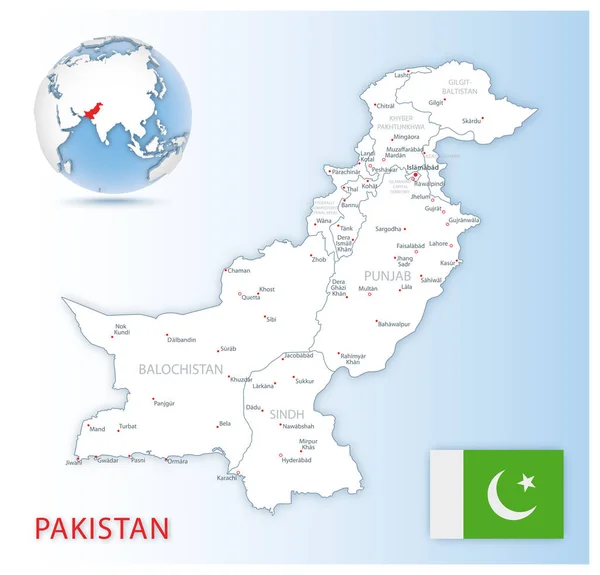
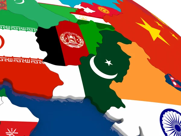
Detailed Pakistan Administrative Map With Country Flag And Location On A Blue Globe. Vector Illustration

Vector, 22.79MB, 5469 × 5251 eps
stock image Arab Peninsula from space on early morning

Arab Peninsula From Space On Early Morning

Image, 7.65MB, 5000 × 3750 jpg
stock image Earth Model from Space: Asia View

Earth Model From Space: Asia View

Image, 13.35MB, 6000 × 6000 jpg
stock vector Blue-gray detailed map of India administrative divisions and location on the globe.

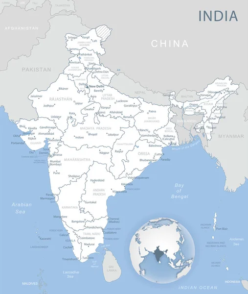
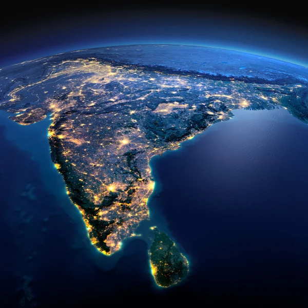
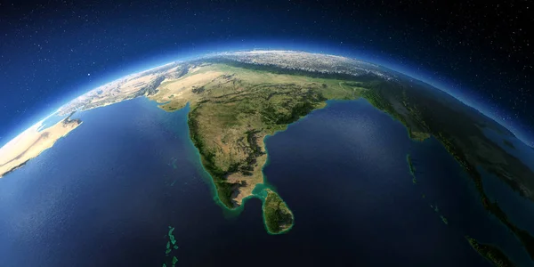
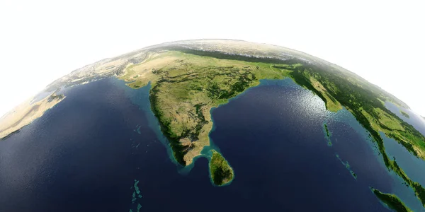
Blue-gray Detailed Map Of India Administrative Divisions And Location On The Globe.

Vector, 17.47MB, 5283 × 6246 eps
stock image Near East map

Near East Map

Image, 13.78MB, 4724 × 4724 jpg
stock image Arab Peninsula from space

Arab Peninsula From Space

Image, 7.4MB, 5000 × 3750 jpg
stock image Near East map

Near East Map

Image, 14.38MB, 4724 × 4724 jpg
stock image Keyboard (detail) with Afghanistan map key - 3d made

Keyboard (detail) With Afghanistan Map Key - 3d Made

Image, 3.01MB, 6538 × 3672 jpg
stock image Afghanistan national flag marking the country location on world map. 3D rendering, parts of this image furnished by NASA

Afghanistan National Flag Marking The Country Location On World Map. 3D Rendering, Parts Of This Image Furnished By NASA

Image, 4.67MB, 4000 × 2800 jpg
stock vector Blue-green detailed map of Tajikistan administrative divisions with country flag and location on the globe. Vector illustration

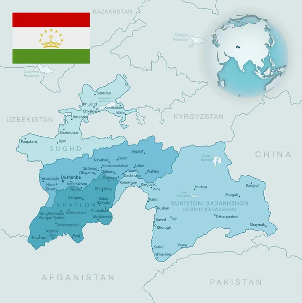
Blue-green Detailed Map Of Tajikistan Administrative Divisions With Country Flag And Location On The Globe. Vector Illustration

Vector, 15.83MB, 5168 × 5173 eps
stock image Kabul Afghanistan, town, satellite view

Kabul Afghanistan, Town, Satellite View

Image, 8.69MB, 4289 × 3333 jpg
stock image Central Asia from space during sunrise

Central Asia From Space During Sunrise

Image, 12.14MB, 5000 × 3750 jpg
stock image Arab Peninsula on Earth - visible ocean floor

Arab Peninsula On Earth - Visible Ocean Floor

Image, 6.86MB, 5000 × 3750 jpg
stock image Asia

Asia

Image, 3.53MB, 7000 × 5000 jpg
stock image Afghanistan and Pakistan on 3D map with flags

Afghanistan And Pakistan On 3D Map With Flags

Image, 3.85MB, 5000 × 3750 jpg
stock image Afghanistan refugee emergency, escape from cities to reach the borders with other states. Taliban danger. Hospitality. Column of migrants. Fence and barbed wire. Abandon their lands for a better future. Black and white silhouette. 3d rendering

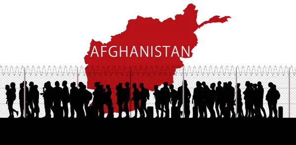
Afghanistan Refugee Emergency, Escape From Cities To Reach The Borders With Other States. Taliban Danger. Hospitality. Column Of Migrants. Fence And Barbed Wire. Abandon Their Lands For A Better Future. Black And White Silhouette. 3d Rendering

Image, 3.97MB, 6299 × 3097 jpg
stock image Map of Afghanistan. 3D isometric perspective illustration.

Map Of Afghanistan. 3D Isometric Perspective Illustration.

Image, 14.34MB, 4582 × 6053 jpg
stock image Map of Afghanistan. 3D isometric perspective illustration.

Map Of Afghanistan. 3D Isometric Perspective Illustration.

Image, 12.48MB, 7752 × 3057 jpg
stock image 3d flag map of afghanistan

3d Flag Map Of Afghanistan

Image, 2.19MB, 4000 × 4000 jpg
stock image  World Flag Buttons - Pack 8 of 8

World Flag Buttons - Pack 8 Of 8

Image, 4.41MB, 3750 × 5000 jpg
stock image Globe map of East Asia, satellite view, geographical map, physics. Cartography, relief atlas. 3d render. Element of this images are furnished by Nasa

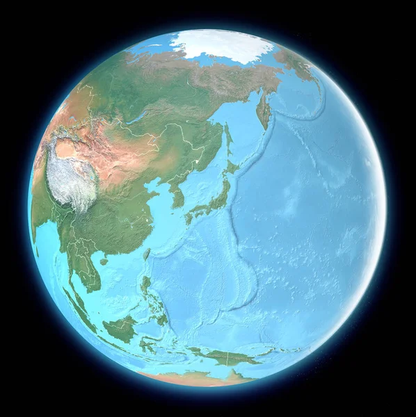
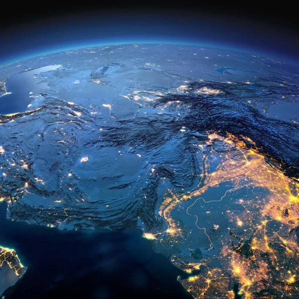
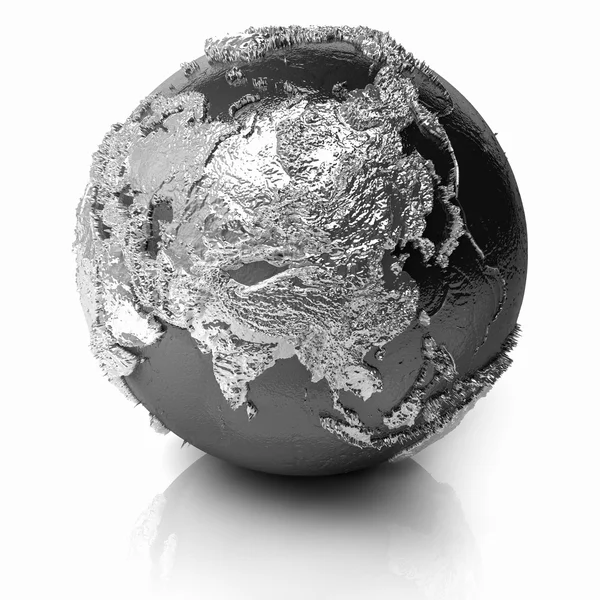
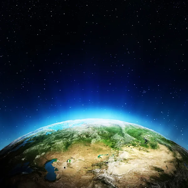
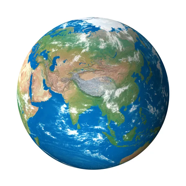
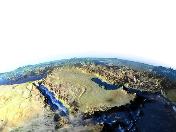
Globe Map Of East Asia, Satellite View, Geographical Map, Physics. Cartography, Relief Atlas. 3d Render. Element Of This Images Are Furnished By Nasa

Image, 13.93MB, 5327 × 5342 jpg
stock image Arab Peninsula on planet Earth

Arab Peninsula On Planet Earth

Image, 10.35MB, 5000 × 3750 jpg
stock image Central Asia on 3D map with flags

Central Asia On 3D Map With Flags

Image, 4.2MB, 5000 × 3750 jpg
stock image Afghanistan button flag map shape

Afghanistan Button Flag Map Shape

Image, 1.71MB, 6000 × 5000 jpg
stock image Aerial view and silhouette of a military drone flying over a mountain range at sunset. Military mission and target. 3d rendering

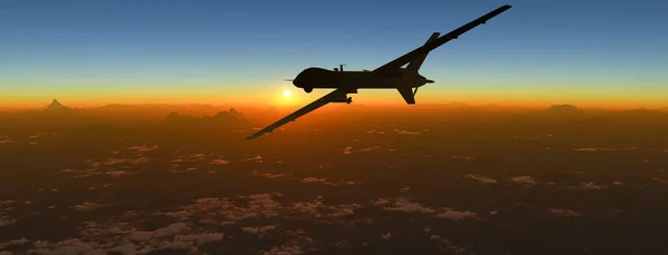
Aerial View And Silhouette Of A Military Drone Flying Over A Mountain Range At Sunset. Military Mission And Target. 3d Rendering

Image, 5.01MB, 4800 × 1837 jpg
stock image Map of Afghanistan on a planisphere, mountain reliefs and sea bathymetry. Physical borders of the nation, satellite view. Globe. 3d rendering

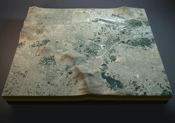
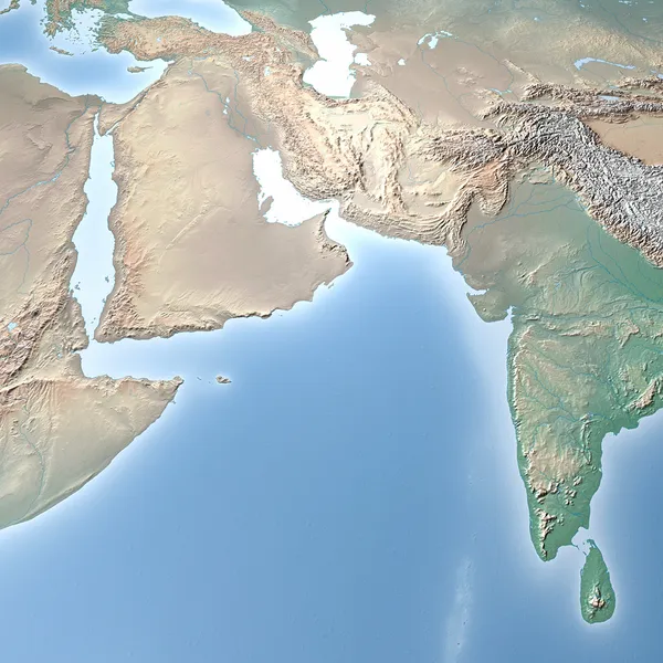
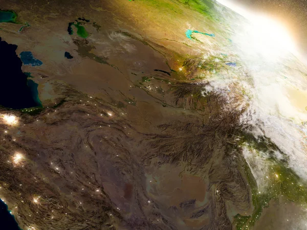
Map Of Afghanistan On A Planisphere, Mountain Reliefs And Sea Bathymetry. Physical Borders Of The Nation, Satellite View. Globe. 3d Rendering

Image, 4.39MB, 5511 × 3937 jpg
Page 1 >> Next