
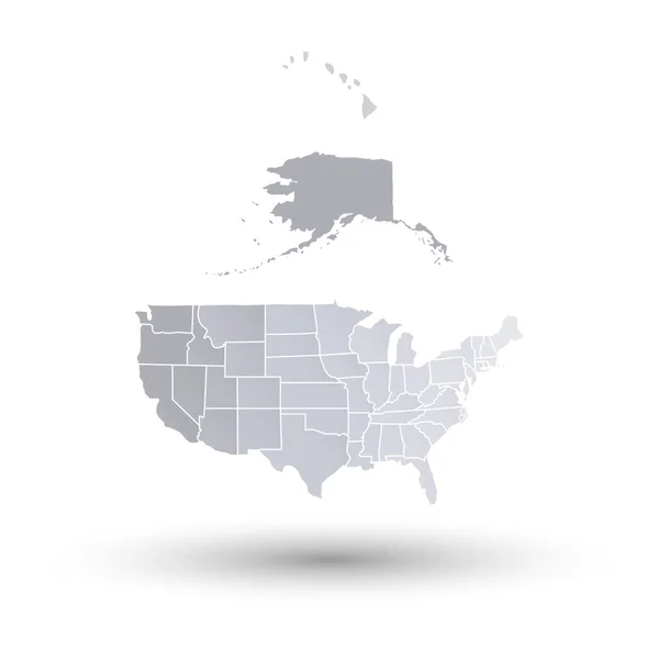
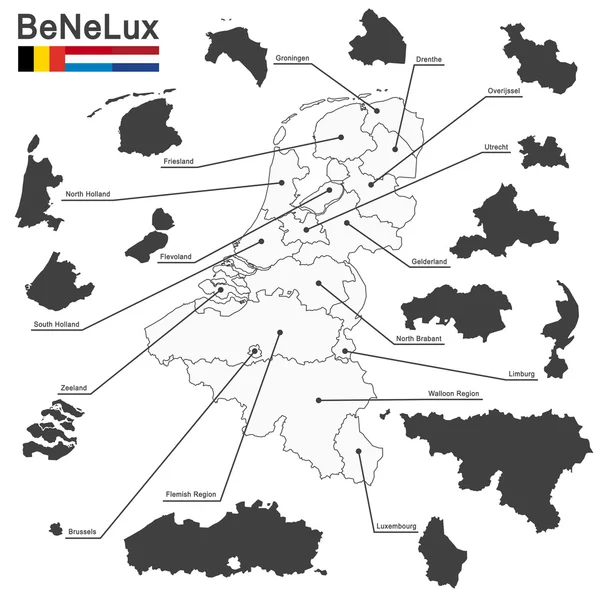
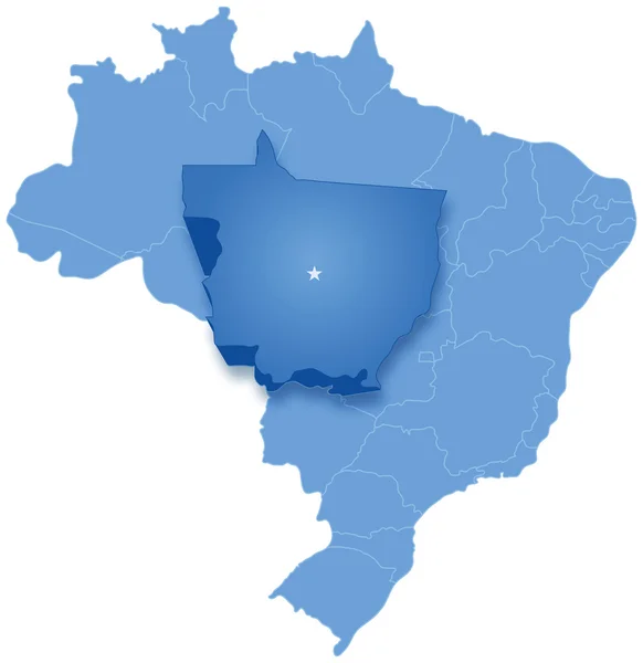
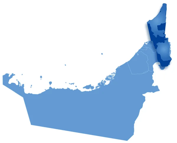
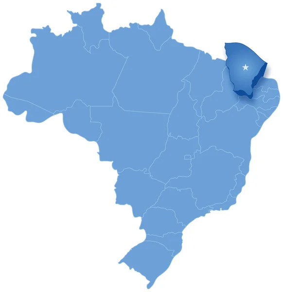
Stock image All States Map page 3


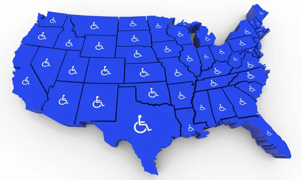
Wheelchair Disabled Person Symbol Disability USA United States America Population 3d Illustration
Image, 4.83MB, 5000 × 3000 jpg
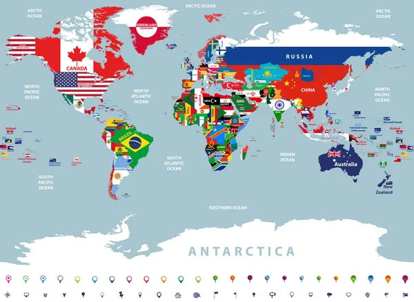
Vector High Detailed Illustration Of Map Of The World Jointed With Countries Flags
Vector, 14.68MB, 8334 × 6098 eps

Marijuana Pot Weed Cannabis United States America USA Map 3d Illustration
Image, 7.05MB, 5000 × 3000 jpg

Map With Directions To All Part Of The World On Gray Background, Round Shadow. Vector Illustration.
Vector, 0MB, 4000 × 4000 zip

All Countries Flags Of The World In Circular Form Design, Arranged In Alphabetical Order, With Original Colors And High Detailed Emblems. Map Of The World. Vector Illustration
Vector, 14.26MB, 8333 × 5493 eps

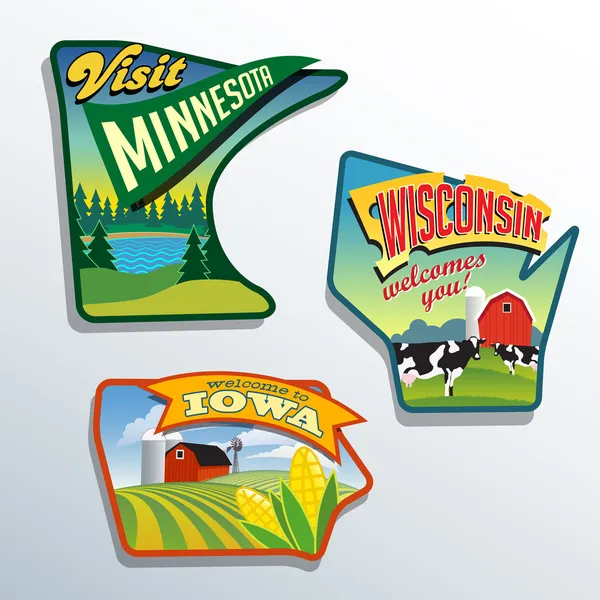
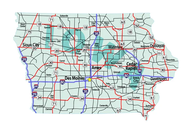
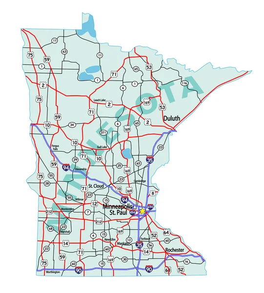
Midwest United States Minnesota Wisconsin Iowa Vector Illustrations Designs
Vector, 2.46MB, 6600 × 6600 eps

World Map And All National Circle Country Flags . 3D Design . Creative Concept . Vector
Vector, 14.08MB, 6501 × 3447 eps
United States Of America Drawing Map Isolated. USA Vector Illustration. Pencil Drawing Territory Print. Country Poster With States For Travel Materials And Education. Cartoon Style Image Hand Drawn.
Vector, 2.28MB, 6500 × 4179 eps

CBD Cannabidiol Hemp Marijuana Cannabis USA United States America Map 3d Illustration
Image, 7.09MB, 5000 × 3000 jpg


Vector Set Of All World Countries Flags (sovereign States, Dependent, Overseas Territories And Other Areas,-total Of 232 Flags). Map Of The World With Countries Names And Borders In Blue Color Palette
Vector, 13.78MB, 8334 × 8106 eps
United States Of America Drawing Linear Map Isolated. USA Vector Illustration. Brush Drawing Territory Print. Country Poster With States For Travel Materials And Education. Hand Drawn Graphic
Vector, 0.66MB, 6500 × 4179 eps


Previous << Page 3 >> Next