
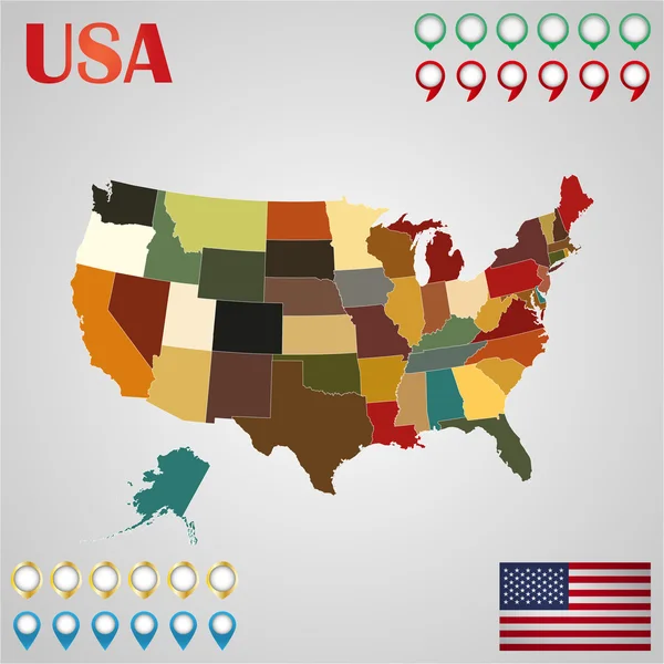
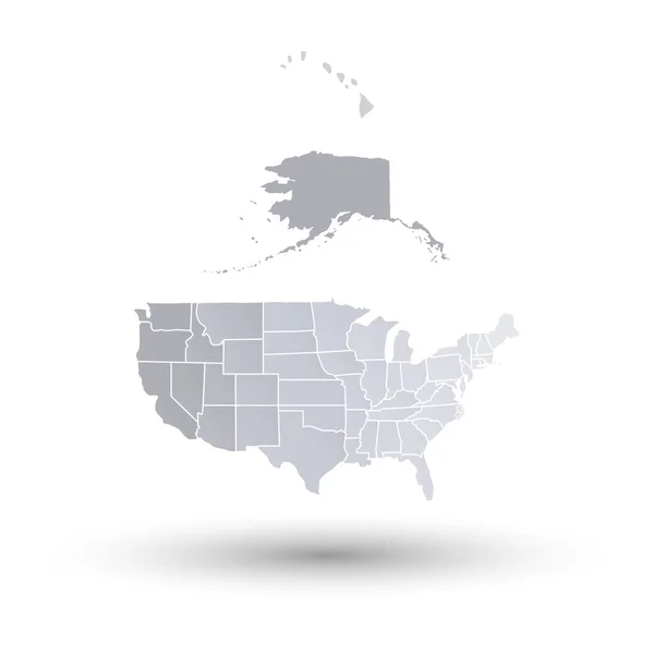
Stock image All States Map page 2
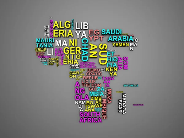
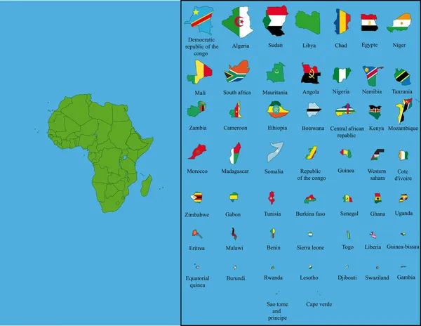
The Africa Map With All States And Their Names 3d Illustration On Grey
Image, 11.76MB, 6000 × 4500 jpg
All 50 USA States Map Pixel Perfect Icons (Filled Style). Vector Icons Of The Complete United States Of America States Map.
Vector, 1.14MB, 4410 × 3570 eps
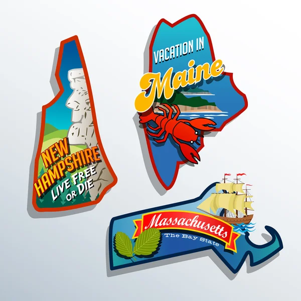
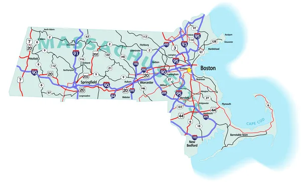
Eastern United States Maine Massachusetts New Hampshire Travel Illustrations Designs
Vector, 2.36MB, 6600 × 6600 eps


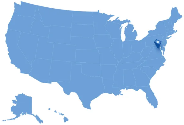
Map Of States Of The United States Where Federal District Of Columbia, Washington, D.C. Is Pulled Out
Vector, 1.5MB, 5666 × 3849 eps
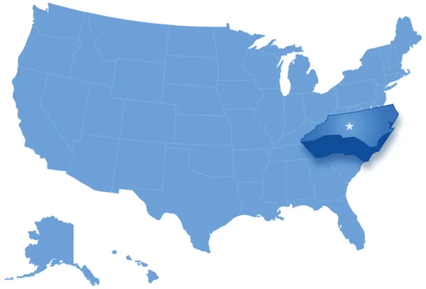
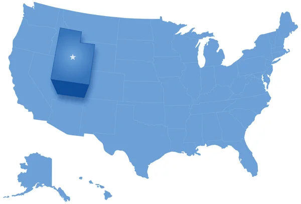
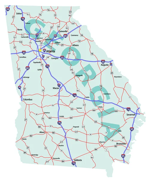
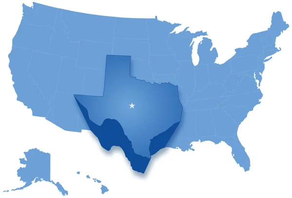
Map Of States Of The United States Where North Carolina Is Pulled Out
Vector, 2.28MB, 5666 × 3849 eps


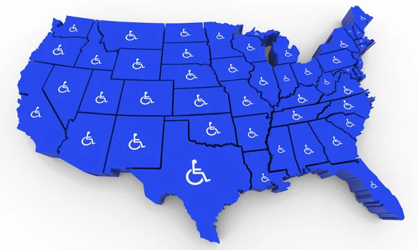
Wheelchair Disabled Person Symbol Disability USA United States America Population 3d Illustration
Image, 4.83MB, 5000 × 3000 jpg
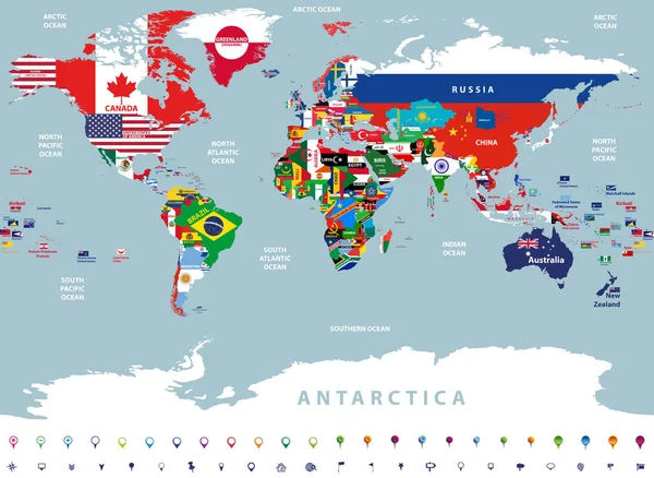
Vector High Detailed Illustration Of Map Of The World Jointed With Countries Flags
Vector, 14.68MB, 8334 × 6098 eps

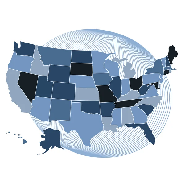
Marijuana Pot Weed Cannabis United States America USA Map 3d Illustration
Image, 7.05MB, 5000 × 3000 jpg

Map With Directions To All Part Of The World On Gray Background, Round Shadow. Vector Illustration.
Vector, 0MB, 4000 × 4000 zip


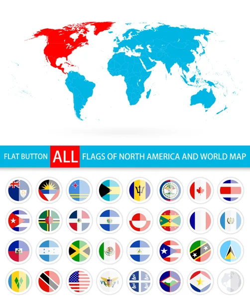
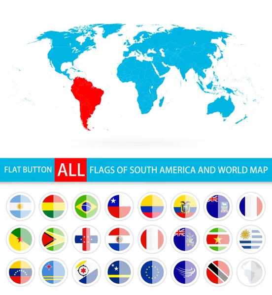
All Countries Flags Of The World In Circular Form Design, Arranged In Alphabetical Order, With Original Colors And High Detailed Emblems. Map Of The World. Vector Illustration
Vector, 14.26MB, 8333 × 5493 eps

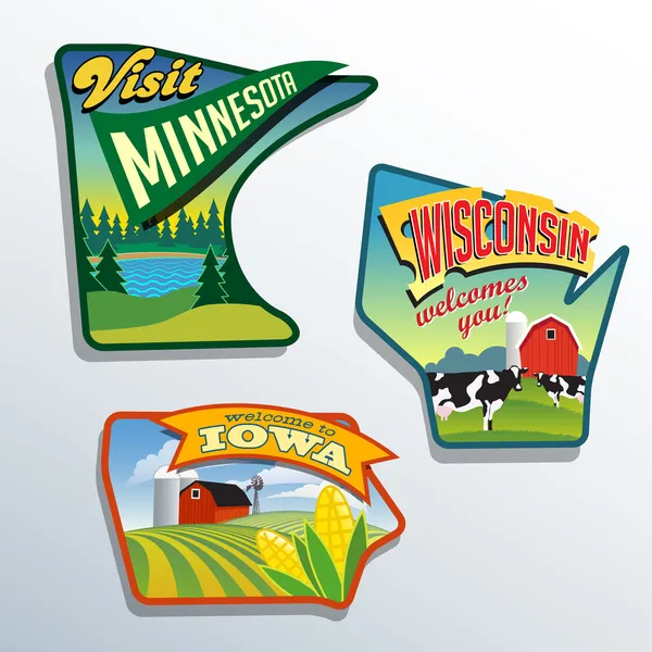
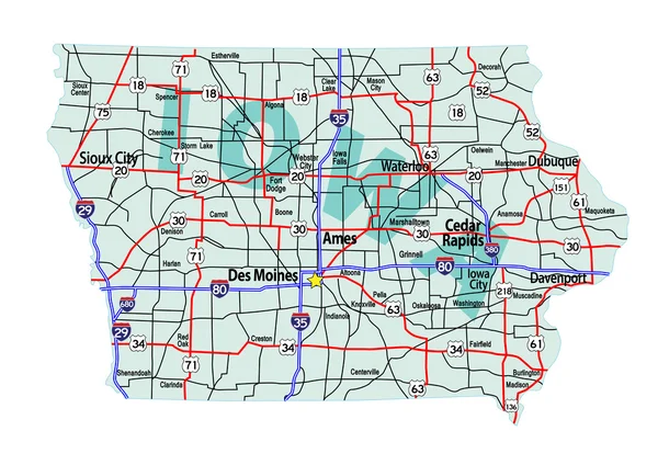
Midwest United States Minnesota Wisconsin Iowa Vector Illustrations Designs
Vector, 2.46MB, 6600 × 6600 eps
Previous << Page 2 >> Next