photo free
Home Images Vectors Videos

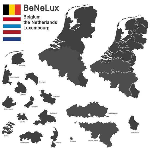
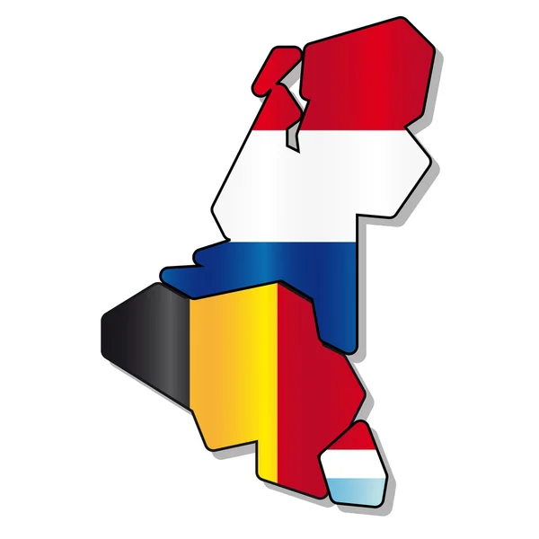
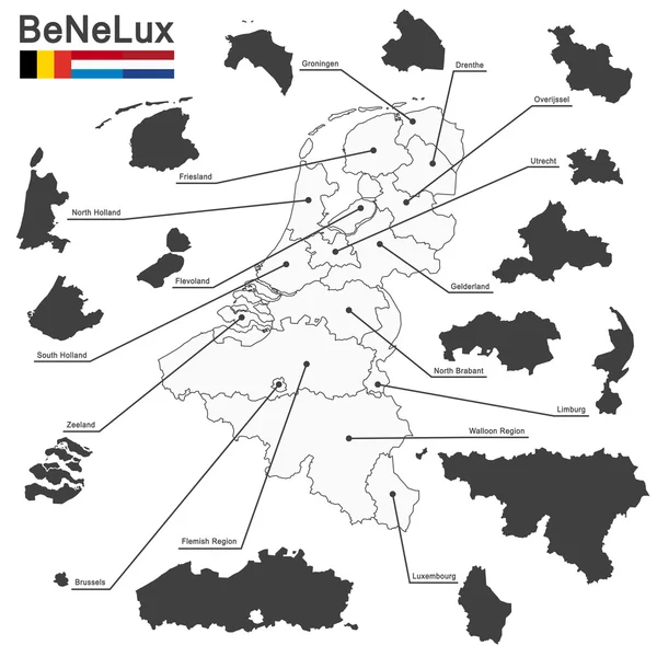
Stock image Benelux Map

stock vector BeNeLux countries

BeNeLux Countries

Vector, 1.51MB, 5079 × 5079 eps
stock vector BeNeLux countries

BeNeLux Countries

Vector, 1.2MB, 4724 × 6240 eps
stock vector Vector regions map of Benelux countries: Belgium, Netherlands and Luxembourg, with neighbouring countries and territories

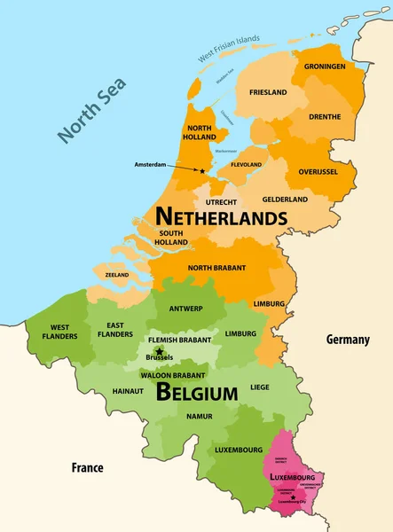
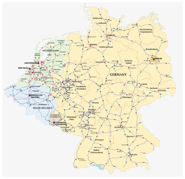
Vector Regions Map Of Benelux Countries: Belgium, Netherlands And Luxembourg, With Neighbouring Countries And Territories

Vector, 7.29MB, 6156 × 8333 eps
stock vector Belgium, the netherlands, luxembourg

Belgium, The Netherlands, Luxembourg

Vector, 7.73MB, 5079 × 5079 eps
stock vector Netherlands physical map with labeling.

Netherlands Physical Map With Labeling.

Vector, 6.52MB, 4575 × 5673 eps
stock vector Netherlands Political Map

Netherlands Political Map

Vector, 3.76MB, 6000 × 6868 eps
stock vector Map of Benelux

Map Of Benelux

Vector, 0.73MB, 3135 × 5104 ai
stock vector Netherlands - political map with separated layers.

Netherlands - Political Map With Separated Layers.

Vector, 11MB, 4575 × 5673 eps
stock vector Benelux. Belgium, Netherlands and Luxembourg. Political map with capitals, borders and important cities. Benelux Union, a geographic, economic, cultural group. English labeling. Illustration. Vector.

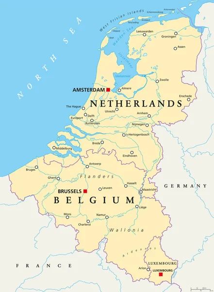
Benelux. Belgium, Netherlands And Luxembourg. Political Map With Capitals, Borders And Important Cities. Benelux Union, A Geographic, Economic, Cultural Group. English Labeling. Illustration. Vector.

Vector, 6.09MB, 6867 × 9333 eps
stock vector Benelux countries, gray colored political map. Belgium, Netherlands and Luxembourg. Benelux Union, a geographic, economic and cultural group. English labeling. Illustration on white background. Vector

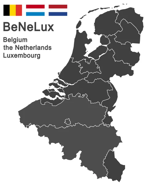
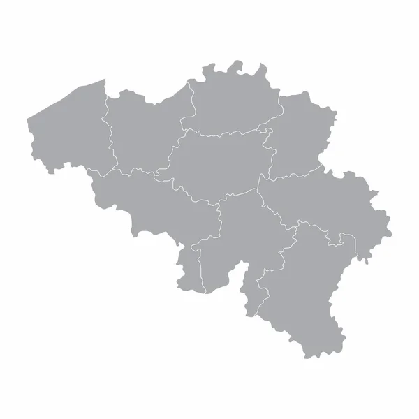
Benelux Countries, Gray Colored Political Map. Belgium, Netherlands And Luxembourg. Benelux Union, A Geographic, Economic And Cultural Group. English Labeling. Illustration On White Background. Vector

Vector, 3.21MB, 6867 × 9333 eps
stock vector BeNeLux countries

BeNeLux Countries

Vector, 1.2MB, 4724 × 6240 eps
stock vector Belgium, the netherlands, luxembourg

Belgium, The Netherlands, Luxembourg

Vector, 0.69MB, 4724 × 5906 eps
stock vector European union map with country flags

European Union Map With Country Flags

Vector, 12.28MB, 7292 × 6080 eps
stock vector Benelux flag

Benelux Flag

Vector, 0.76MB, 7087 × 7087 eps
stock vector Map of Benelux with borders

Map Of Benelux With Borders

Vector, 0.43MB, 3896 × 4201 ai
stock vector Colorful detailed political world map with names of countries, oceans, bays and islands, on an isolated background blank for design

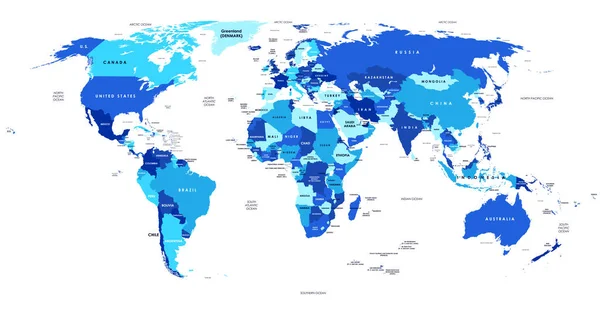
Colorful Detailed Political World Map With Names Of Countries, Oceans, Bays And Islands, On An Isolated Background Blank For Design

Vector, 5.12MB, 8921 × 4724 eps
stock vector City map Luxembourg, travel vector poster design

City Map Luxembourg, Travel Vector Poster Design

Vector, 2.22MB, 4218 × 5906 eps
stock vector Vector city map of Amsterdam with well organized separated layers.

Vector City Map Of Amsterdam With Well Organized Separated Layers.

Vector, 7.24MB, 5690 × 4622 eps
stock vector City map Luxembourg, color detailed plan, vector illustration

City Map Luxembourg, Color Detailed Plan, Vector Illustration

Vector, 2.35MB, 4219 × 5906 eps
stock vector Europe time zones high detailed map with location and clock icons.

Europe Time Zones High Detailed Map With Location And Clock Icons.

Vector, 12.71MB, 7293 × 6944 eps
stock vector Europe high detailed political map. All elements detachable and labeled. Vector

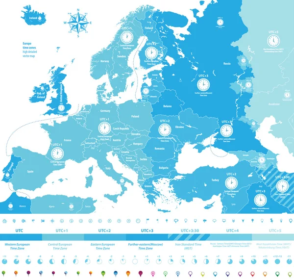
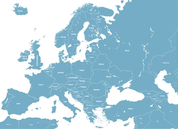
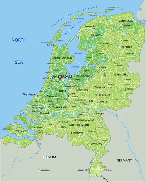
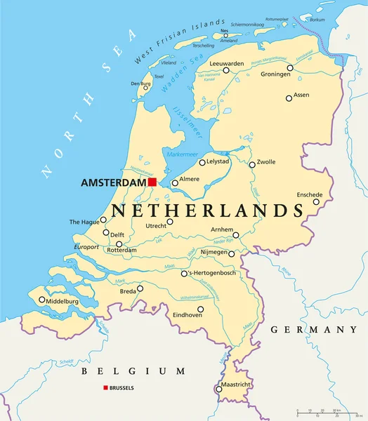
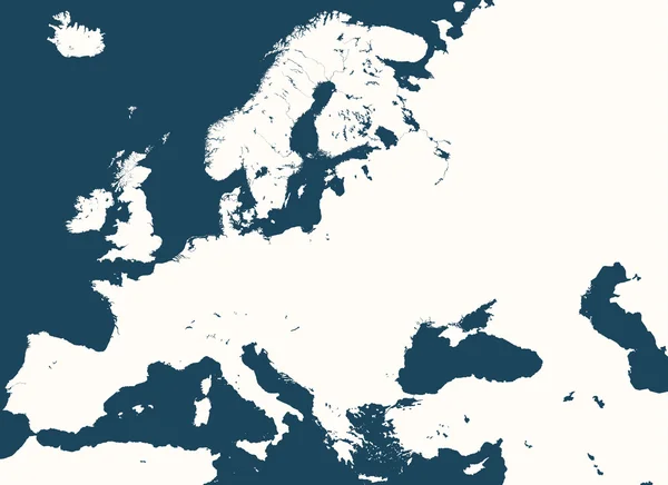
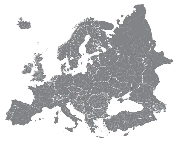
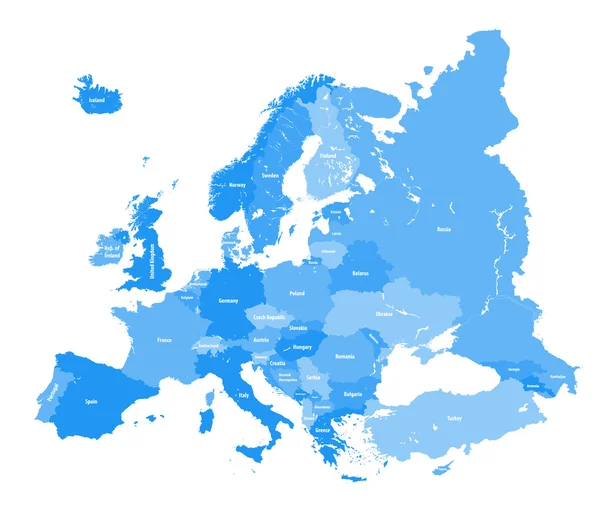
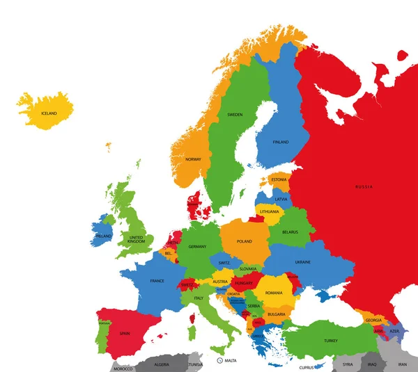
Europe High Detailed Political Map. All Elements Detachable And Labeled. Vector

Vector, 11.55MB, 7293 × 5303 eps
stock vector City map Luxembourg, monochrome detailed plan, vector illustrati

City Map Luxembourg, Monochrome Detailed Plan, Vector Illustrati

Vector, 2.33MB, 4219 × 5906 eps
stock vector high detailed silhouette of Europe map

High Detailed Silhouette Of Europe Map

Vector, 10.15MB, 7292 × 5301 eps
stock vector high detailed Europe map.

High Detailed Europe Map.

Vector, 10.36MB, 7292 × 5838 eps
stock vector Motorway vector map of Germany and the Benelux states

Motorway Vector Map Of Germany And The Benelux States

Vector, 3.59MB, 3201 × 3100 eps
stock vector European political map set

European Political Map Set

Vector, 14.96MB, 7000 × 6999 eps
stock vector map of Europe colored by countries with regions borders. Flags of all european countries. Navigation, location and travel icons. All elements separated in labeled and detached layers. Vector

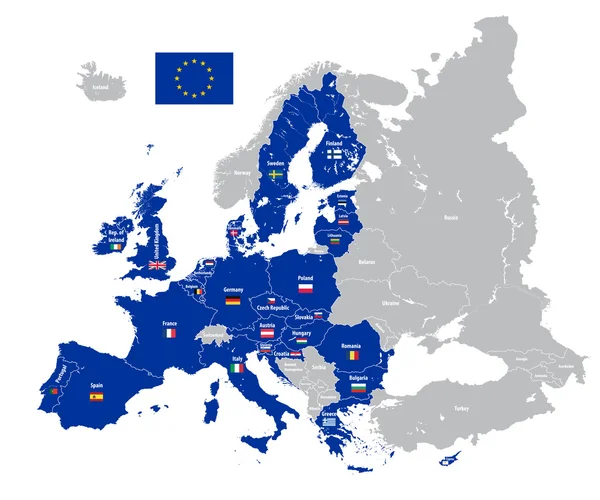
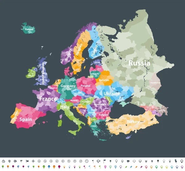
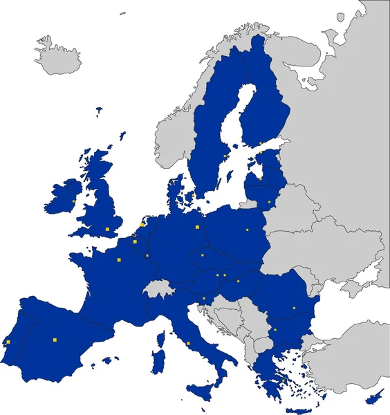
Map Of Europe Colored By Countries With Regions Borders. Flags Of All European Countries. Navigation, Location And Travel Icons. All Elements Separated In Labeled And Detached Layers. Vector

Vector, 13.87MB, 7292 × 7292 eps
stock vector 3 dimensional infographics political map of Belgium, with every province easy selectable and editable in one click. Content labeled in Layers panel.

3 Dimensional Infographics Political Map Of Belgium, With Every Province Easy Selectable And Editable In One Click. Content Labeled In Layers Panel.

Vector, 13.86MB, 6400 × 4800 eps
stock vector Europe map colored by countries with regions borders.  Navigation, location and travel icons collection. All elements separated in labeled and detachable layers. Vector

Europe Map Colored By Countries With Regions Borders. Navigation, Location And Travel Icons Collection. All Elements Separated In Labeled And Detachable Layers. Vector

Vector, 12.21MB, 7292 × 6731 eps
stock vector Amsterdam city map in gray on a white background

Amsterdam City Map In Gray On A White Background

Vector, 0.82MB, 4167 × 4167 eps
stock vector Netherlands road map with labeling.

Netherlands Road Map With Labeling.

Vector, 6.48MB, 4575 × 5673 eps
stock vector High detailed Europe map with coutries names and region borders

High Detailed Europe Map With Coutries Names And Region Borders

Vector, 14.42MB, 10418 × 8686 eps
stock vector Europe high detailed vector political map with location\navigation icons.

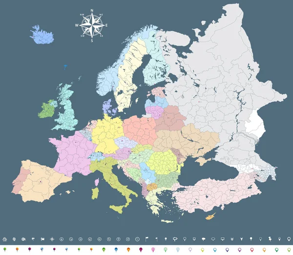
Europe High Detailed Vector Political Map With Location\navigation Icons.

Vector, 10.85MB, 7292 × 5911 eps
stock vector Europe vector high detailed political map with regions borders

Europe Vector High Detailed Political Map With Regions Borders

Vector, 14.75MB, 6497 × 7292 eps
stock vector Belgium, the netherlands, luxembourg

Belgium, The Netherlands, Luxembourg

Vector, 1.84MB, 5079 × 5079 eps
stock vector Europe Map with the European Union member

Europe Map With The European Union Member

Vector, 6.5MB, 5320 × 5653 eps
stock vector Europe vector high detailed political map with regions borders

Europe Vector High Detailed Political Map With Regions Borders

Vector, 14.16MB, 7292 × 5988 eps
stock vector high detailed colored political map of Europe with countries' regions. Vector

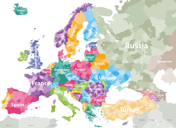
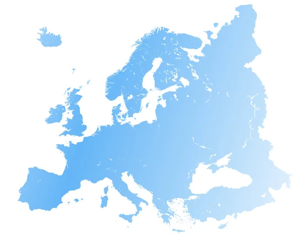
High Detailed Colored Political Map Of Europe With Countries' Regions. Vector

Vector, 11.99MB, 7285 × 5297 eps
stock vector Netherlands road map with labeling.

Netherlands Road Map With Labeling.

Vector, 6.45MB, 4575 × 5673 eps
stock vector Netherlands -  political map

Netherlands - Political Map

Vector, 5.39MB, 4572 × 5670 eps
stock vector colored silhouettes of the netherlands, Luxembourg and Belgium

Colored Silhouettes Of The Netherlands, Luxembourg And Belgium

Vector, 1.24MB, 7467 × 9862 eps
stock vector Travel poster, urban street plan city map Luxembourg and Reykjavik, vector illustration

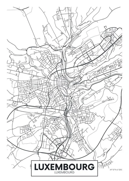
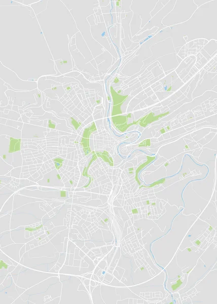
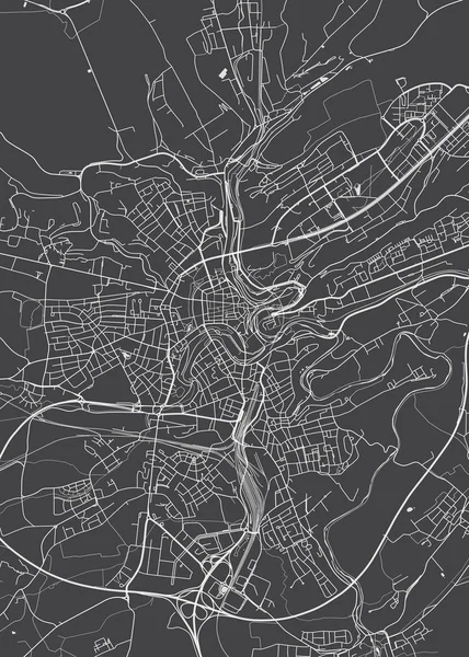
Travel Poster, Urban Street Plan City Map Luxembourg And Reykjavik, Vector Illustration

Vector, 3.96MB, 8001 × 5536 eps
stock vector European political map. All layers detachable and labeled

European Political Map. All Layers Detachable And Labeled

Vector, 10.69MB, 7292 × 6236 eps
stock vector Europe vector political map silhouette

Europe Vector Political Map Silhouette

Vector, 10.45MB, 7292 × 6277 eps
stock vector Maps of European country

Maps Of European Country

Vector, 14.32MB, 7000 × 6999 eps
stock vector 3 dimensional infographics map of European Union countries, with every state easy selectable and editable in one click. France highlighted in green, content labeled in Layers panel.

3 Dimensional Infographics Map Of European Union Countries, With Every State Easy Selectable And Editable In One Click. France Highlighted In Green, Content Labeled In Layers Panel.

Vector, 11.21MB, 6400 × 4800 eps
stock vector Energy industry and ecology of Netherlands

Energy Industry And Ecology Of Netherlands

Vector, 3.71MB, 6400 × 6400 eps
stock vector Europe vector high detailed political map with regions borders

Europe Vector High Detailed Political Map With Regions Borders

Vector, 11.39MB, 7290 × 6376 eps
stock vector Detailed vector political map of Europe

Detailed Vector Political Map Of Europe

Vector, 3.47MB, 7087 × 6326 eps
stock vector Map of Belgium

Map Of Belgium

Vector, 8.13MB, 5000 × 5000 eps
Page 1 >> Next