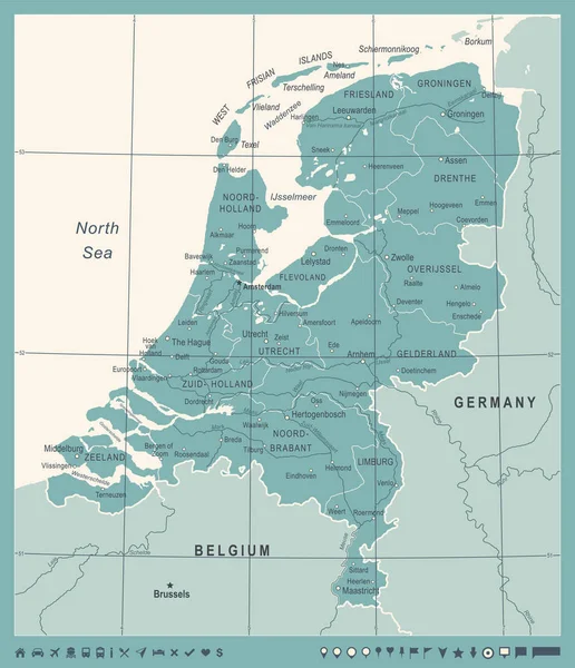
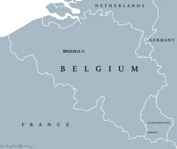
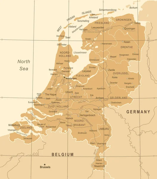
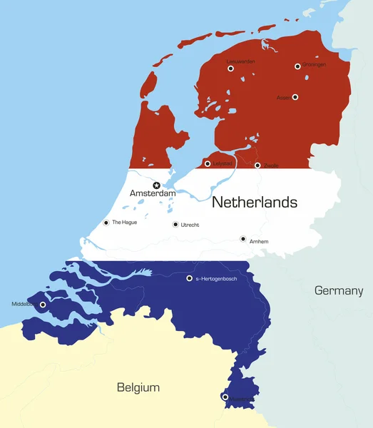
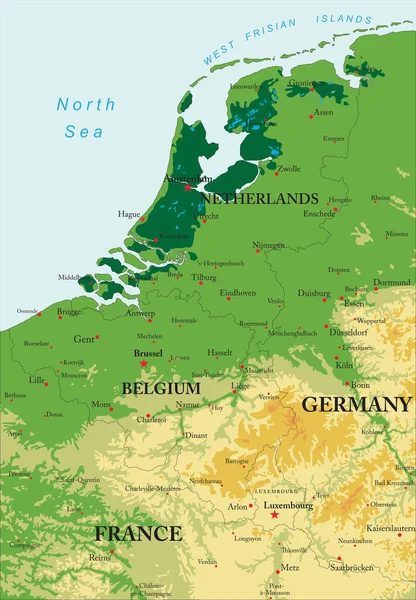
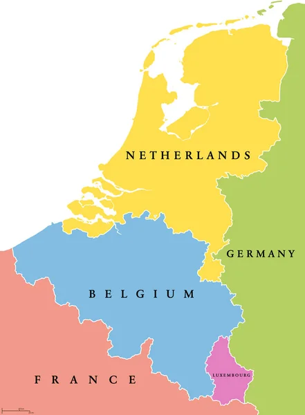
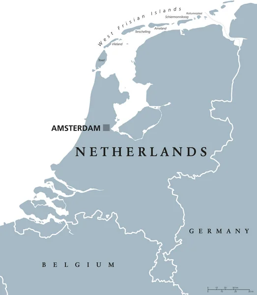
Stock vector Benelux countries, gray colored political map. Belgium, Netherlands and Luxembourg. Benelux Union, a geographic, economic and cultural group. English labeling. Illustration on white background. Vector

Published: Jun.18, 2018 05:38:43
Author: Furian
Views: 202
Downloads: 3
File type: vector / eps
File size: 3.21 MB
Orginal size: 6867 x 9333 px
Available sizes:
Level: silver