
Stock image Berlin Province

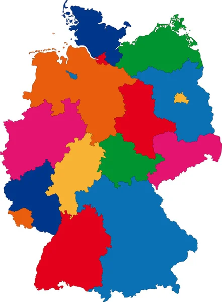
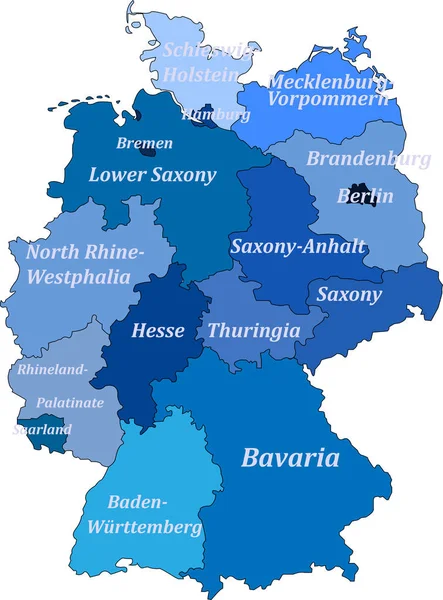
Political Vector Map Of Germany With Regions And Their Capitals. All Layers Detachabel And Labeled.
Vector, 6.49MB, 5297 × 6200 eps


Political And Location Map Of Germany. Versatile File, Every Piece Is Selectable And Editable In Layers Panel. Turn On And Off Visibility Of Every Province In One Click. Vector, Eps 10.
Vector, 2.84MB, 3840 × 5400 eps

Vector Illustration Of The Coat Of Arms Of East Germany (German Democratic Republic - GDR, 19491990)
Vector, 0.62MB, 3600 × 4800 eps

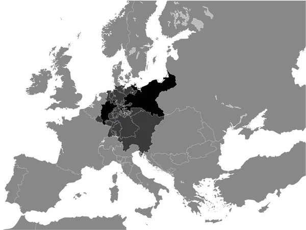
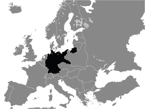
Black Flat Map Of German Confederation (1815) Inside Gray Map Of Europe
Vector, 11.42MB, 4800 × 3600 eps
Black Flat Map Of Kingdom Of Prussia (year 1815) Inside Gray Map Of European Continent
Vector, 13.24MB, 4800 × 3600 eps
Map Of Germany On A White Background With Borders Of Lands And Capitals. With The Names Of Lands And Capitals
Vector, 6.39MB, 3202 × 4333 eps
Black Flat Map Of Weimar Republic (19181933) Inside Gray Map Of Europe
Vector, 15.06MB, 4800 × 3600 eps
Map Of Germany. Without The Names Capitals But With The Names Of Lands
Vector, 6.2MB, 6692 × 9057 eps

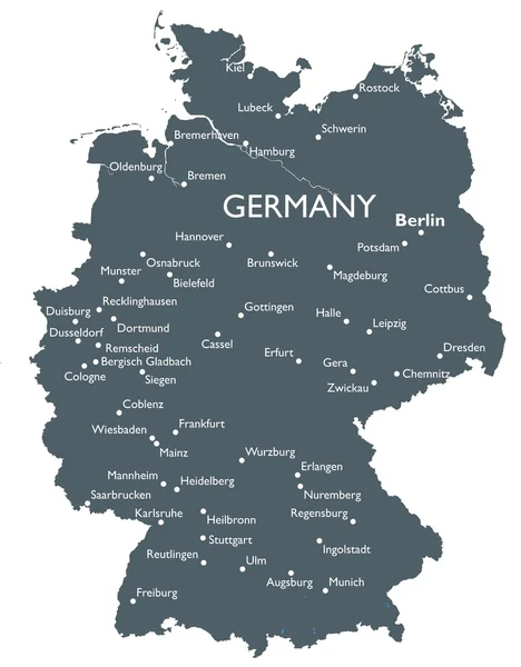
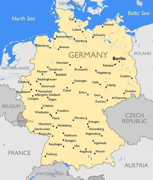
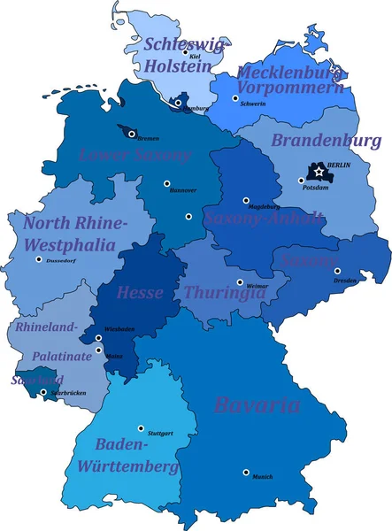
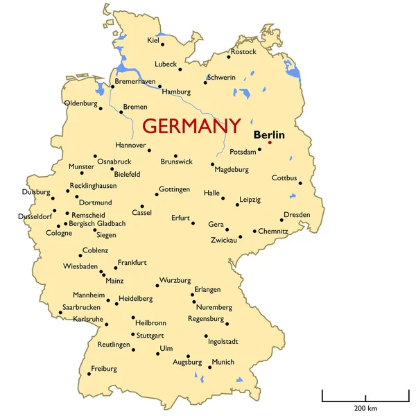
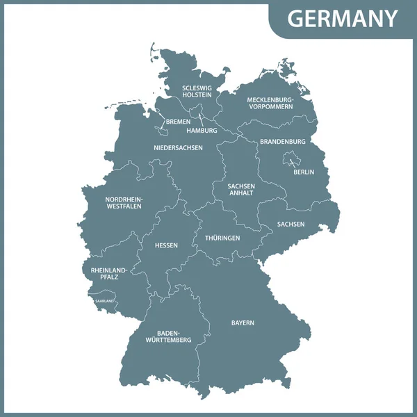
The Detailed Map Of The Germany With Regions Or States And Cities, Capitals.
Vector, 2.13MB, 5600 × 7000 eps

Saarland State Map, Germany, Vector Map Silhouette Illustration Isolated On Germany Map. Editable Blank Vector Map. Province In Germany.
Vector, 1.46MB, 5400 × 6000 eps

Baden-Wurttenberg State Map, Germany, Vector Map Silhouette Illustration Isolated On Germany Map. Editable Blank Vector Map. Province In Germany.
Vector, 1.39MB, 5400 × 6000 eps

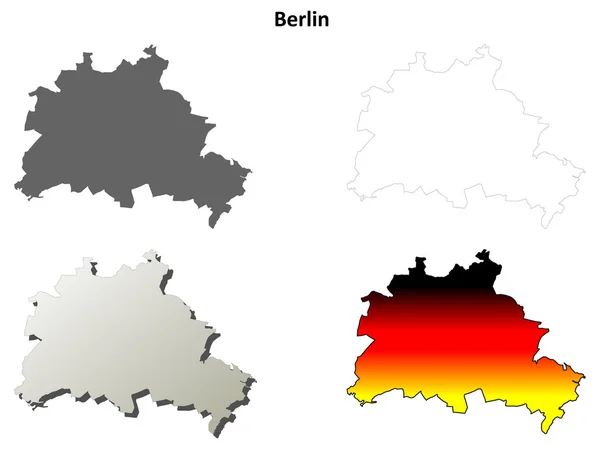
Berlin State Map, Germany, Vector Map Silhouette Illustration Isolated On Germany Map. Editable Blank Vector Map. Province In Germany.
Vector, 1.48MB, 5400 × 6000 eps


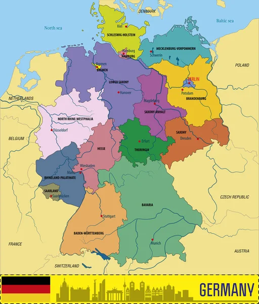
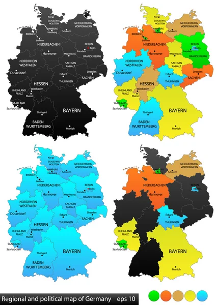
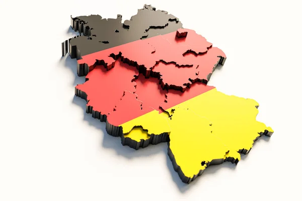
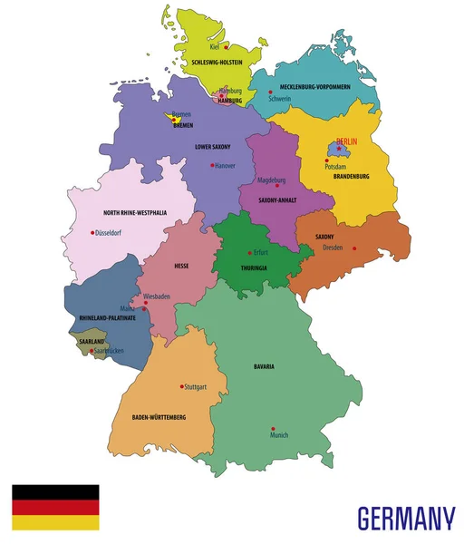
Germany Political Map. Multicolored States Of Federal Republic Of Germany With Capital Berlin And 16 Partly-sovereign States. Central And Western Europe Country. English Labeling. Illustration. Vector
Vector, 2.69MB, 6000 × 9000 eps
Political Vector Map Of Germany With Regions And Their Capitals. All Layers Detachabel And Labeled.
Vector, 4.89MB, 5297 × 6200 eps
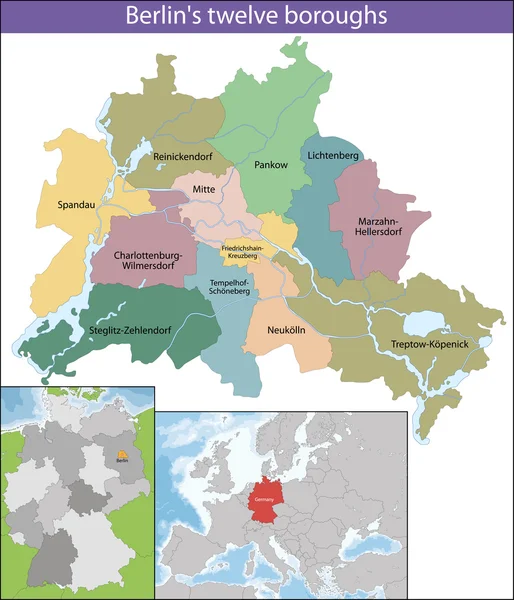


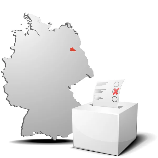
The Berlin City, Isolated Map Divided In Sectors With Labels, Germany
Vector, 8.39MB, 5000 × 4200 eps


Germany Political Map Of Administrative Divisions - Federal States. Blank Black Map And Country Name Title.
Vector, 0.29MB, 8000 × 8000 eps


Germany Political Map Of Administrative Divisions - Federal States. Solid Light Gray Map With White Line Borders And Labels.
Vector, 0.37MB, 8000 × 8000 eps


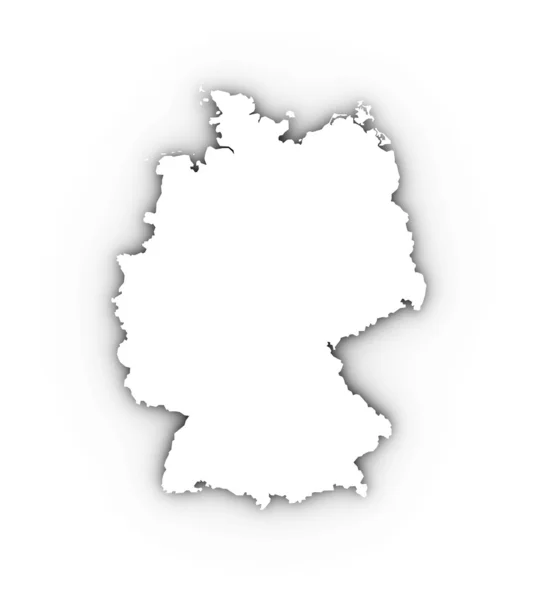
Blank Germany Map Vector Silhouette Illustration Isolated On Black Background. Deutschland Autonomous Communities. High Detailed Germany Map Regions Administrative Divisions, Separated Provinces Map.
Vector, 1.51MB, 4672 × 5733 eps


Page 1 >> Next