
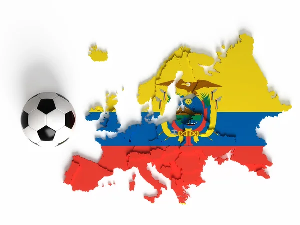
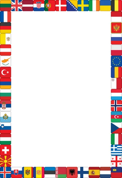
Stock image Border Countries page 2

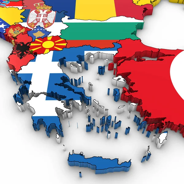
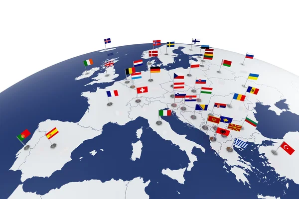
3D Map Of The Balkans With National Flags On White Background 3D Illustration
Image, 10.43MB, 6000 × 6000 jpg
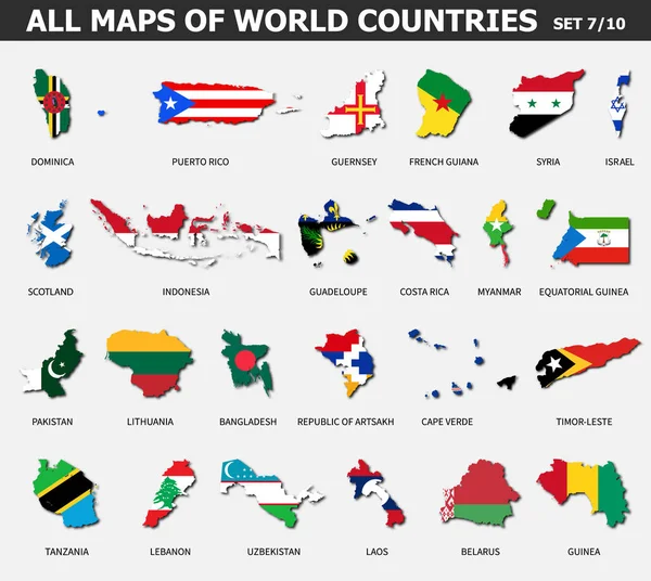
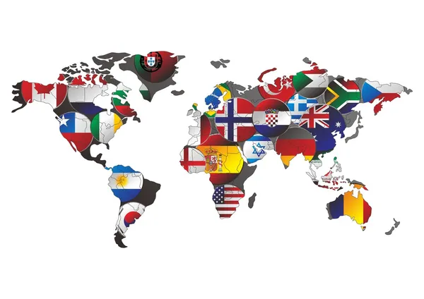
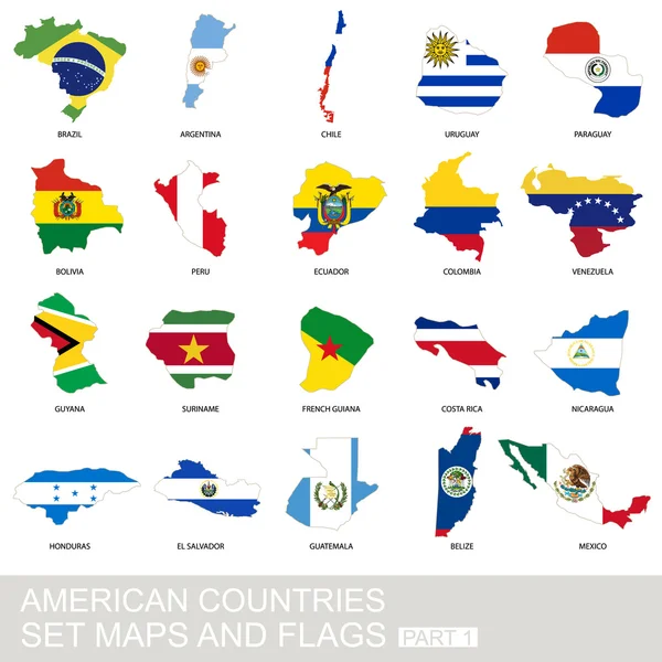
All Maps Of World Countries And Flags . Set 7 Of 10 . Collection Of Outline Shape Of International Country Map With Shadow . Flat Design . Vector .
Vector, 7.23MB, 5587 × 5000 eps
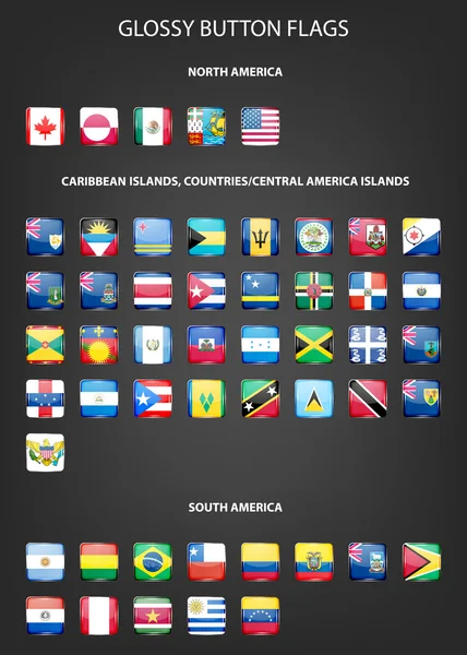
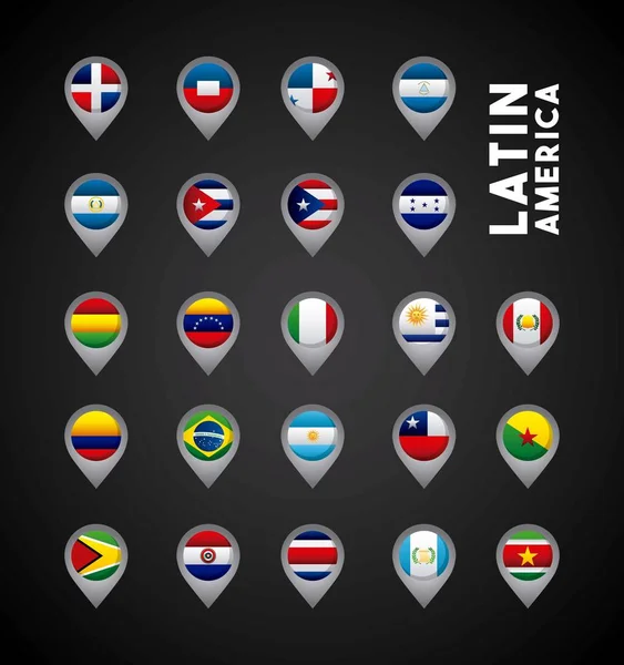
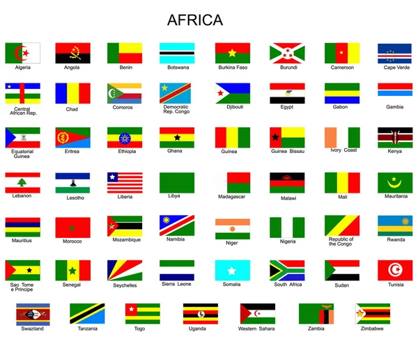
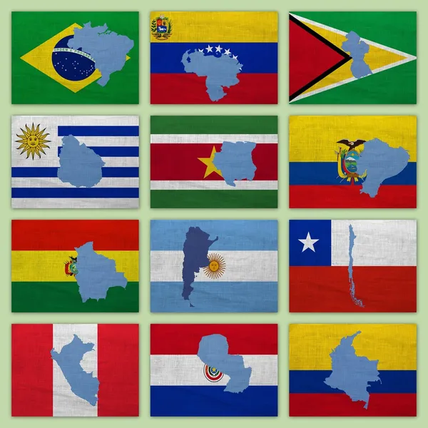
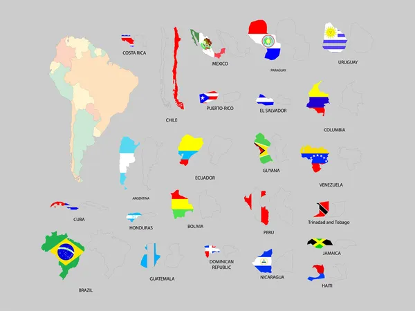
Set Of Glossy Button Flags - North AND South America, Caribbean Islands, Countries, Central America Islands.
Vector, 15.21MB, 4000 × 5600 eps
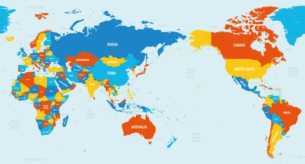
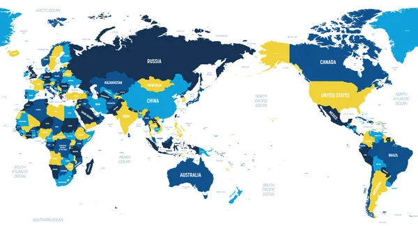
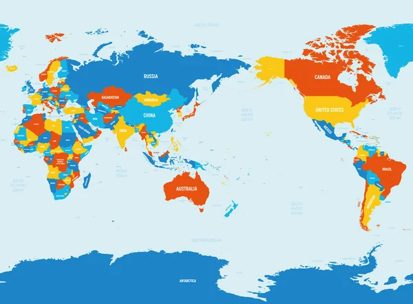
World Map - Asia, Australia And Pacific Ocean Centered. 4 Bright Color Scheme. High Detailed Political Map Of World With Country, Ocean And Sea Names Labeling
Vector, 5.4MB, 6000 × 3250 eps


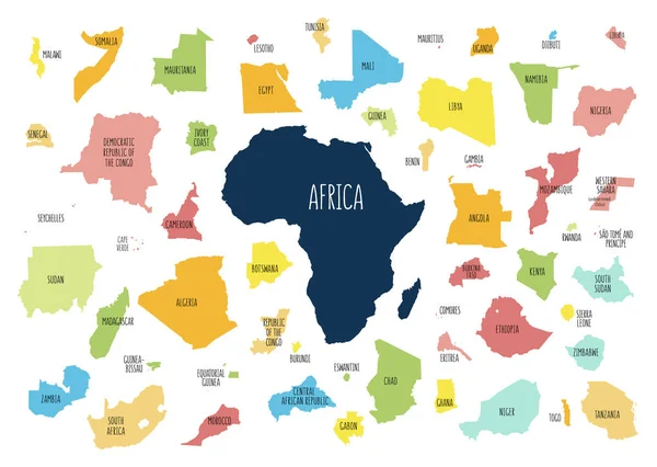
Outline Maps Of European Countries. All The Countries Of Europe. Isolated Vector Illustration.
Vector, 3.13MB, 8335 × 5418 eps
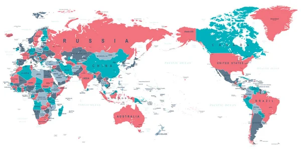
World Map - Asia, Australia And Pacific Ocean Centered. Brown Orange Hue Colored On Dark Background. High Detailed Political Map Of World With Country, Ocean And Sea Names Labeling
Vector, 5.38MB, 6000 × 3250 eps


Vector World Map With Countries Borders. Abstract Red And Yellow World Countries On Map
Vector, 3.41MB, 6251 × 4167 eps

Black Map Of World With Countries Borders. Very High Level Of Accuracy With Satellite
Vector, 2.13MB, 6756 × 4350 eps

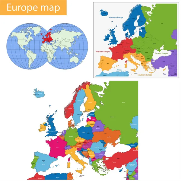
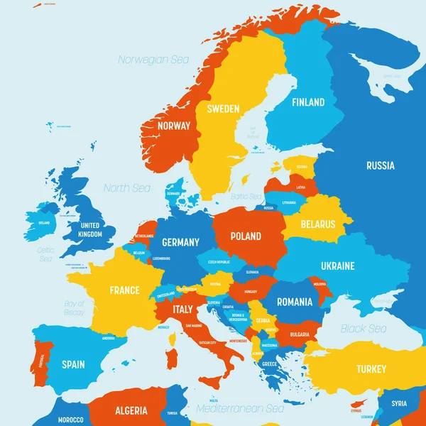
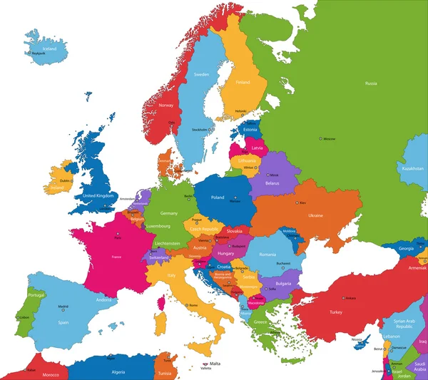
Europe Map - 4 Bright Color Scheme. High Detailed Political Map Of European Continent With Country, Ocean And Sea Names Labeling
Vector, 1.72MB, 6000 × 6000 eps
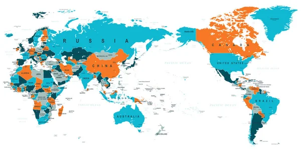
World Map - Asia, Australia And Pacific Ocean Centered. 4 Bright Color Scheme. High Detailed Political Map Of World With Country, Ocean And Sea Names Labeling
Vector, 5.65MB, 6000 × 4421 eps
Previous << Page 2 >> Next