
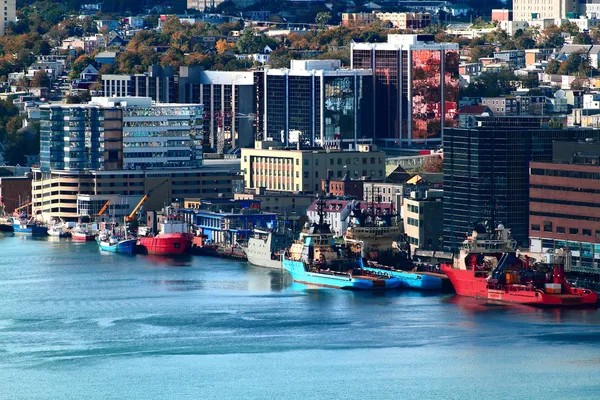
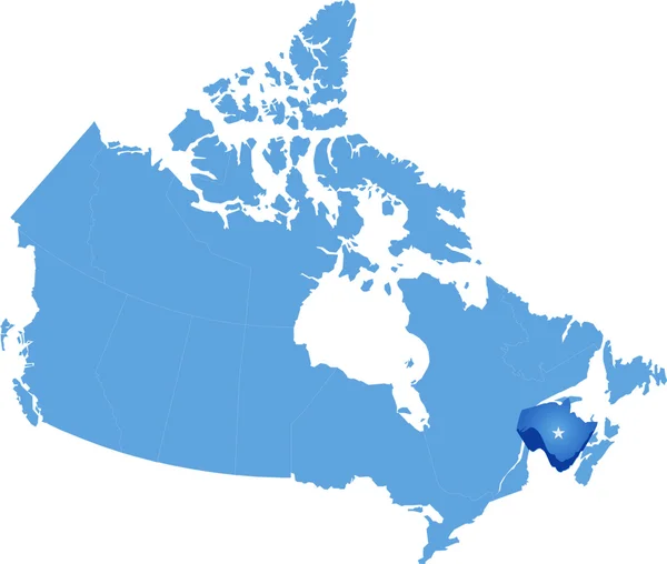
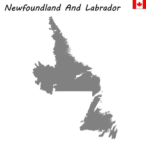
Stock image Capital Of Newfoundland Labrador
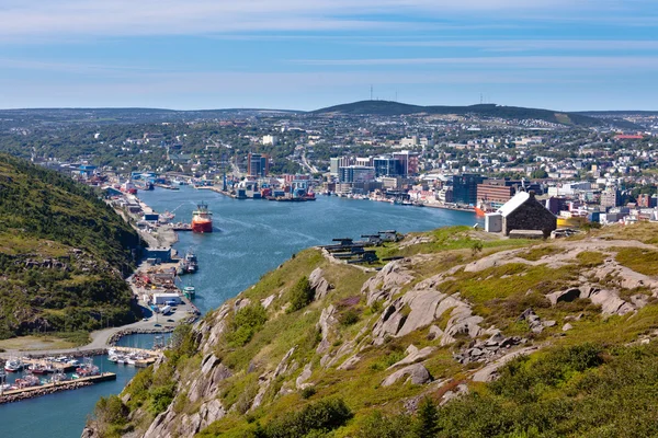

St. John's, Newfoundland, Canada - October 18, 2018: Sunset View From The Top Of Signal Hill National Historic Site.
Image, 9.88MB, 5472 × 3648 jpg

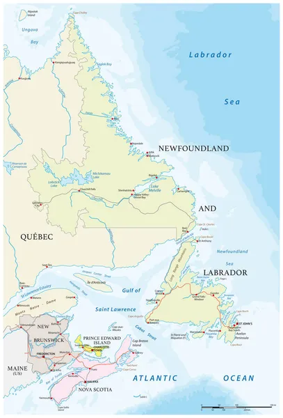
Newfoundland And Labrador, Province Of Canada. Colored Shader Data With Lakes And Rivers. Shape Presented Against Its Country Area With Informative Overlays. 3D Rendering
Image, 3.24MB, 2880 × 1620 jpg

High Quality Map Of Newfoundland And Labrador Is A Province Of Canada
Vector, 1.79MB, 4000 × 4000 eps


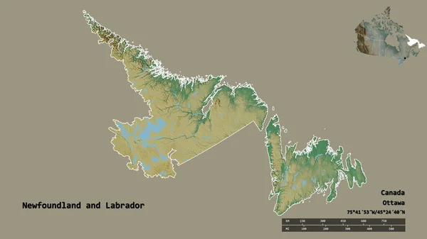
Shape Of Newfoundland And Labrador, Province Of Canada, With Its Capital Isolated On Solid Background. Distance Scale, Region Preview And Labels. Topographic Relief Map. 3D Rendering
Image, 1.5MB, 2880 × 1620 jpg

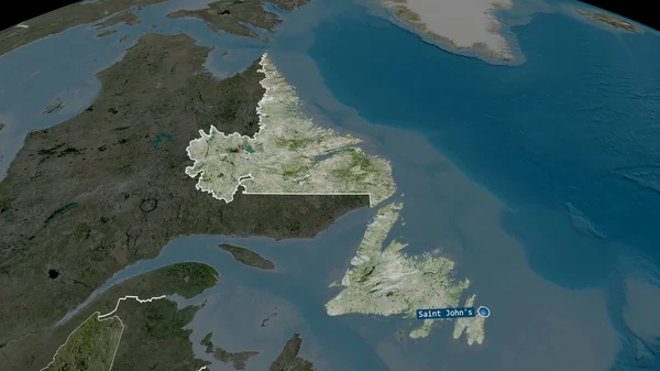
Newfoundland And Labrador - Province Of Canada Zoomed And Highlighted With Capital. Satellite Imagery. 3D Rendering
Image, 3.3MB, 2880 × 1620 jpg

Newfoundland And Labrador - Province Of Canada Zoomed And Highlighted With Capital. Main Physical Landscape Features. 3D Rendering
Image, 3.16MB, 2880 × 1620 jpg
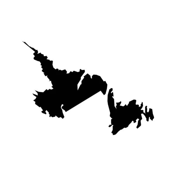
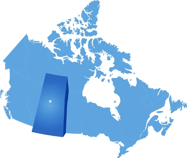
Newfoundland And Labrador Map, Province Of Canada. Vector Illustration.
Vector, 5.33MB, 8334 × 8334 eps
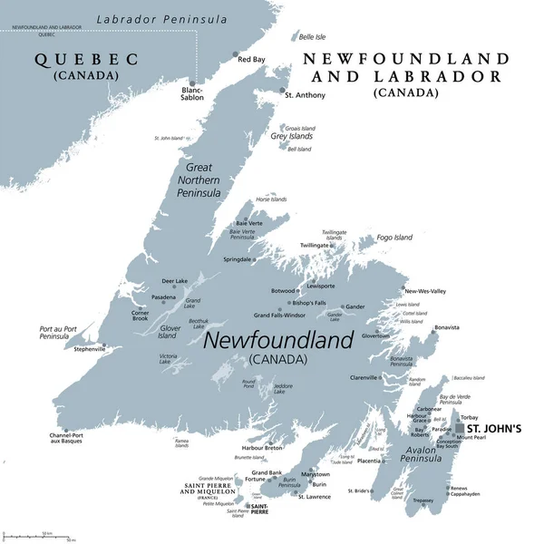
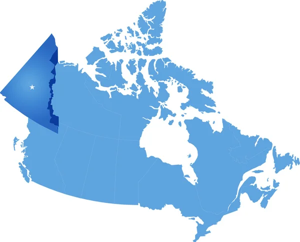
Island Of Newfoundland, Gray Political Map. Part Of Canadian Province Of Newfoundland And Labrador With Capital St. Johns. Island Off The Coast Of Mainland North America Southwest Of Labrador Sea.
Vector, 4.63MB, 6000 × 6000 eps

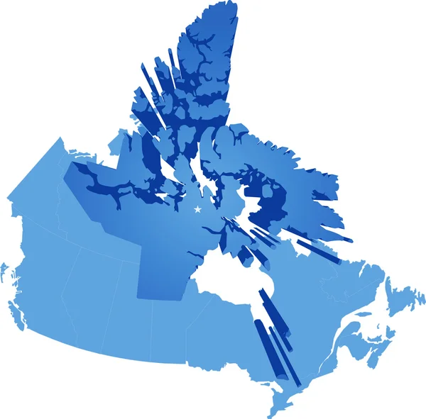
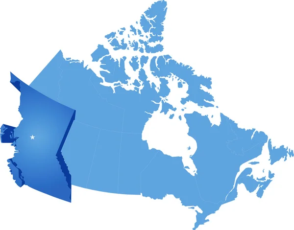
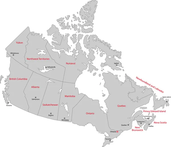
Newfoundland And Labrador Region Location Within Canada 3d Isometric Map
Vector, 2.56MB, 4000 × 4000 eps
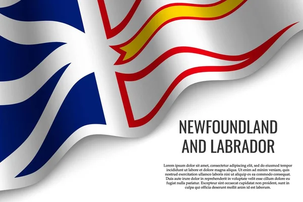
Waving Flag Of Newfoundland And Labrador Is A Region Of Canada On Transparent Background. Template For Banner Or Poster.
Vector, 6.58MB, 6000 × 4000 eps

Shape Of Newfoundland And Labrador, Province Of Canada, With Its Capital Isolated On Solid Background. Distance Scale, Region Preview And Labels. Satellite Imagery. 3D Rendering
Image, 1.6MB, 2880 × 1620 jpg

Newfoundland And Labrador Map, Province Of Canada. Vector Illustration.
Vector, 5.33MB, 8334 × 8334 eps
Page 1 >> Next