photo free
Home Images Vectors Videos

Stock image Clark Boundary

stock image Welcome to Las Vegas Sign

Welcome To Las Vegas Sign

Image, 3.61MB, 8414 × 3115 jpg
stock vector Clarke County, Georgia (U.S. county, United States of America,USA, U.S., US) map vector illustration, scribble sketch Clarke map

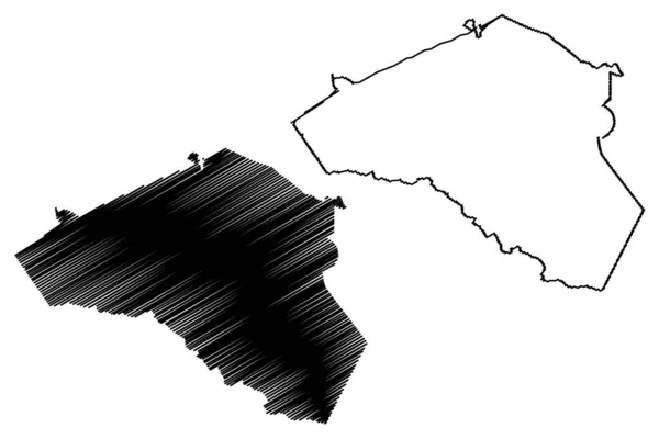
Clarke County, Georgia (U.S. County, United States Of America,USA, U.S., US) Map Vector Illustration, Scribble Sketch Clarke Map

Vector, 0.69MB, 7087 × 4726 eps
stock image Map of Clark County in Ohio state on white background. single County map highlighted by black colour on Ohio map. UNITED STATES, US

Map Of Clark County In Ohio State On White Background. Single County Map Highlighted By Black Colour On Ohio Map. UNITED STATES, US

Image, 5.59MB, 8000 × 8000 jpg
stock vector Nevada, U.S. state, multi colored political map with borders and county names. State in the Western region of the USA, subdivided into 16 counties and the independent city and capital Carson City.

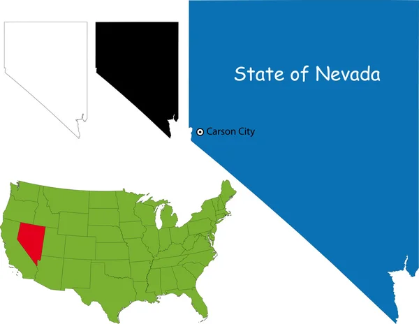
Nevada, U.S. State, Multi Colored Political Map With Borders And County Names. State In The Western Region Of The USA, Subdivided Into 16 Counties And The Independent City And Capital Carson City.

Vector, 2.37MB, 6000 × 8605 eps
stock vector Montana, U.S. state, subdivided into 56 counties, political map with borders and county names. State in the Mountain West region of the United States, nicknamed Big Sky Country, and Treasure State.

Montana, U.S. State, Subdivided Into 56 Counties, Political Map With Borders And County Names. State In The Mountain West Region Of The United States, Nicknamed Big Sky Country, And Treasure State.

Vector, 2.32MB, 9000 × 5355 eps
stock vector Montana, U.S. state, subdivided into 56 counties, gray political map with borders and county names. State in the Mountain West region of United States, nicknamed Big Sky Country, and Treasure State.

Montana, U.S. State, Subdivided Into 56 Counties, Gray Political Map With Borders And County Names. State In The Mountain West Region Of United States, Nicknamed Big Sky Country, And Treasure State.

Vector, 2.14MB, 9000 × 5562 eps
stock vector Nevada map

Nevada Map

Vector, 4.01MB, 5503 × 4257 eps
stock image Map of Clark County in Illinois state on white background. single County map highlighted by black colour on Illinois map. UNITED STATES, US

Map Of Clark County In Illinois State On White Background. Single County Map Highlighted By Black Colour On Illinois Map. UNITED STATES, US

Image, 5.19MB, 8000 × 8000 jpg
stock vector Montana, U.S. state, multi colored political map with borders, county names and Capital Helena. State in the Mountain West region of the United States, subdivided into 56 counties. Big Sky Country

Montana, U.S. State, Multi Colored Political Map With Borders, County Names And Capital Helena. State In The Mountain West Region Of The United States, Subdivided Into 56 Counties. Big Sky Country

Vector, 2.16MB, 9000 × 5562 eps
Page 1 >> Next