Home
Images
Vectors
Videos
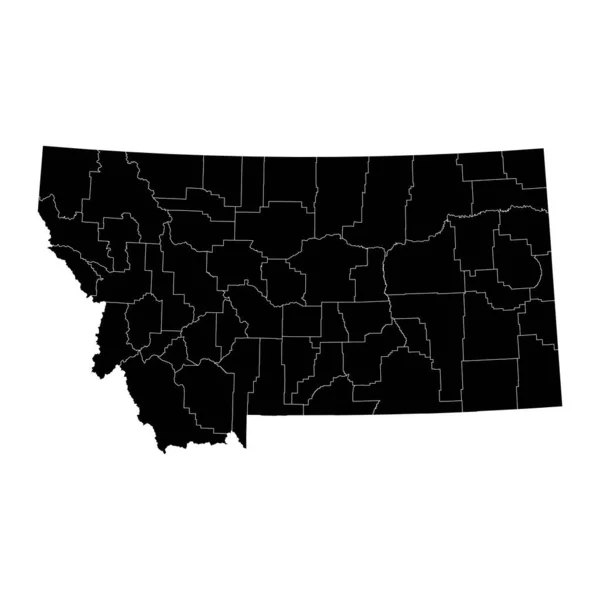
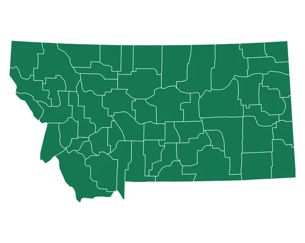
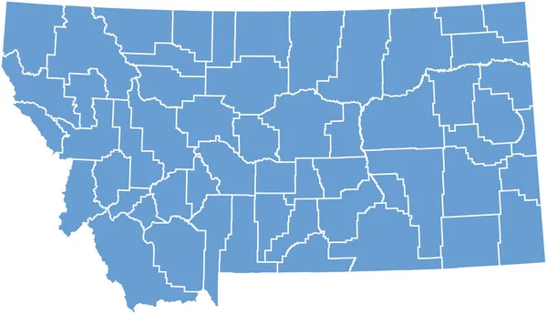
Stock vector Montana, U.S. state, subdivided into 56 counties, gray political map with borders and county names. State in the Mountain West region of United States, nicknamed Big Sky Country, and Treasure State.
Published:
Aug.03, 2024 12:09:30
Author:
Furian
Views:
0
Downloads:
0
File type:
vector
/
eps
File size:
2.14 MB
Orginal size:
9000
x
5562
px
Available sizes:
S
(500 x 309)
M
(1000 x 618)
L
(2000 x 1236)
XL
(9000 x 5562)
VECT
(9000 x 5562)
EL0
(9000 x 5562)
Level:
silver
Download Vector
Vector topics:
Vector
Illustration
Isolated
Travel
Mountain
Silhouette
Border
Gray
Structure
Us
Usa
Country
Map
Cartography
Geography
Area
Land
Overview
State
America
Boundary
Administrative
Destination
States
Region
Division
Federal
Atlas
Americas
Nation
Subdivision
County
Mapping
Mt
Montana
Yellowstone
Names
Counties
Gallatin
Landlocked
Infographic
United States
Big Sky Country
Subdivided
Missoula
Mountain West
Political Map
Lewis And Clark
Treasure State
Interior West
Similar stock vectors
High Quality Map Of Montana Is A State Of United States Of America With Borders Of The Counties
4000 × 4000
Accurate Map Of Montana
5000 × 4000
Accurate Map Of Montana
5000 × 4000
Montana State Map With Counties. Vector Illustration.
8334 × 8334
Accurate Map Of Montana
5000 × 4000
Accurate Map Of Montana
5000 × 4000
A Part Of Usa Map With States On White Background
6154 × 3541