
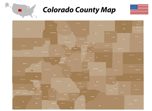
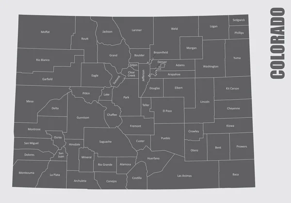
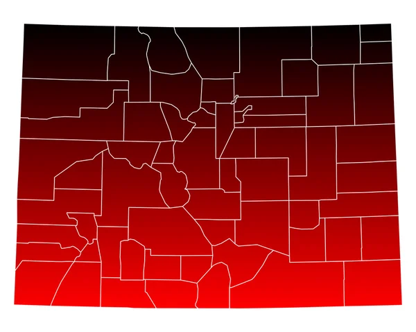
Stock image Colorado County Map

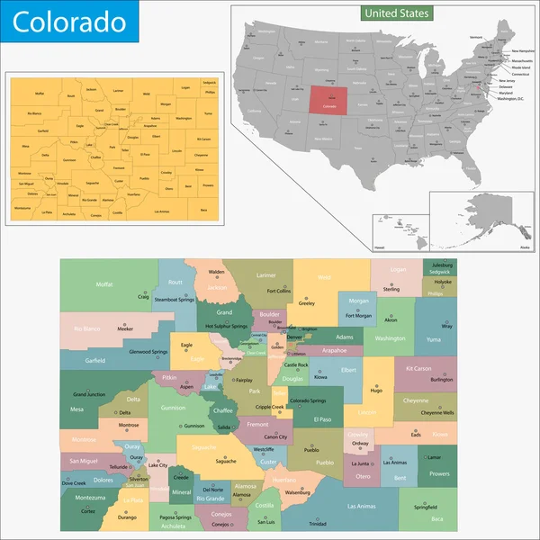
Colorado Administrative Map. Counties Map Of Colorado With Different Colours, Blank Map, Empty Map Of Colorado
Image, 5.39MB, 8000 × 6266 jpg

Colorado Administrative Map. Counties Map Of Colorado With Different Colours, Blank Map, Empty Map Of Colorado
Image, 5.14MB, 8000 × 6266 jpg

Colorado Administrative Map. Counties Map Of Colorado With Different Colours, Blank Map, Empty Map Of Colorado
Image, 5.89MB, 8000 × 6266 jpg

Colorado Administrative Map. Counties Map Of Colorado With Different Colours, Blank Map, Empty Map Of Colorado
Image, 5.34MB, 8000 × 6266 jpg

Colorado Administrative Map. Counties Map Of Colorado With Different Colours, Blank Map, Empty Map Of Colorado
Image, 5.4MB, 8000 × 6266 jpg
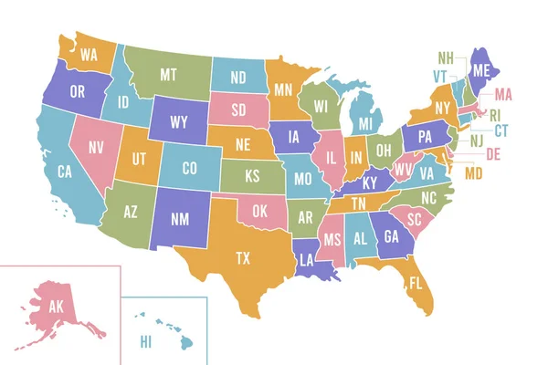
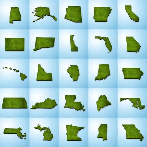
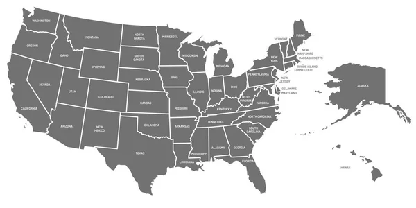
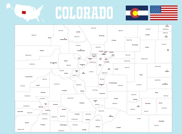
USA Map With Abbreviated State Names. United States Of America Cartography With Colored States. Vector Illustration.
Vector, 0.68MB, 6250 × 4167 eps
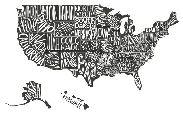
Vector Hand Drawn Stylized Map Of The United States Of America. Travel Illustration Of USA States. Hand Drawn Lettering Illustration. North America Map Element
Vector, 0.64MB, 6000 × 4000 eps
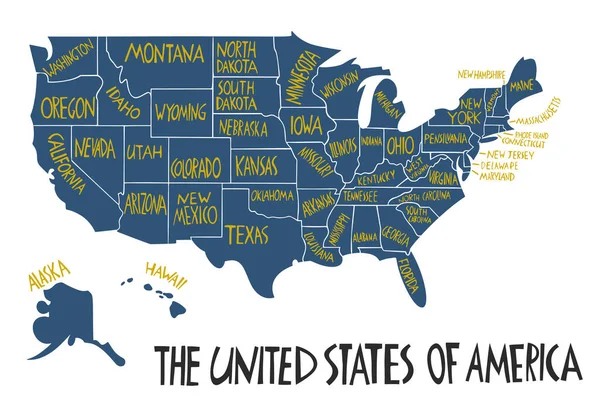
United States Of America Map With Text State Names. USA MAP. Flat Hand Drawn Black And White Vector Illustration. Design USA Typography Map With States Text. American Map For Poster, Banner, T-shirt.
Vector, 2.09MB, 7999 × 5003 eps
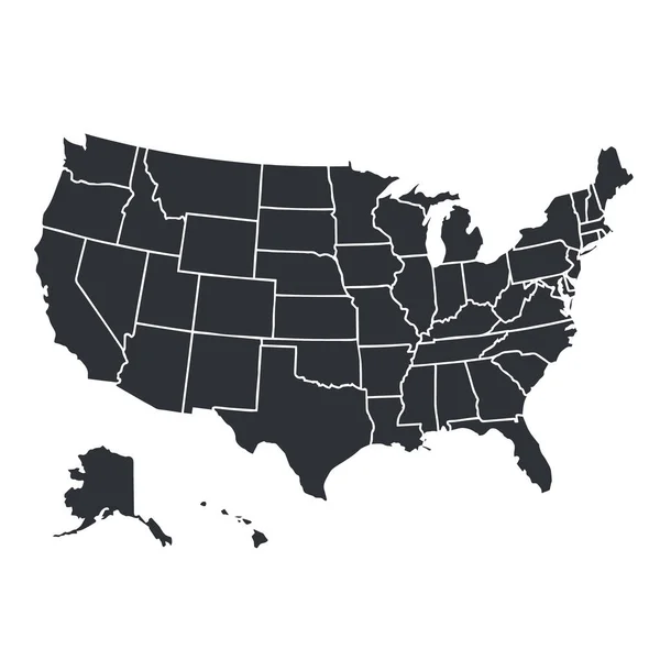
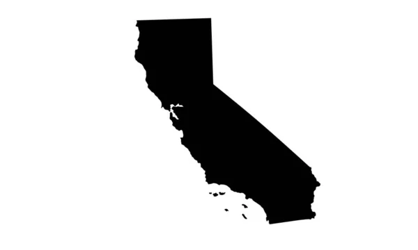
USA Map Silhouette Isolated On White. United States Of America Country. Vector Illustration.
Vector, 0.64MB, 4000 × 4000 eps

USA Vector Map Contour With Federal States Borders. United States Of America Country Outline Silhouette Isolated On White Background. Vector Illustration For Web, Design, Infographics, App, Poster.
Vector, 0.78MB, 7501 × 5001 eps


USA Map. United States Of America Poster With State Names. Geographic American Maps Including Alaska And Hawaii Vector Illustration
Vector, 1.63MB, 9000 × 4500 eps


Hinsdale County, Colorado (U.S. County, United States Of America,USA, U.S., US) Map Vector Illustration, Scribble Sketch Hinsdale Map
Vector, 0.55MB, 7087 × 4726 eps

Colorado Springs CO City Map With Neighborhoods Grey Illustration Silhouette Shape
Vector, 3.77MB, 5000 × 7503 eps
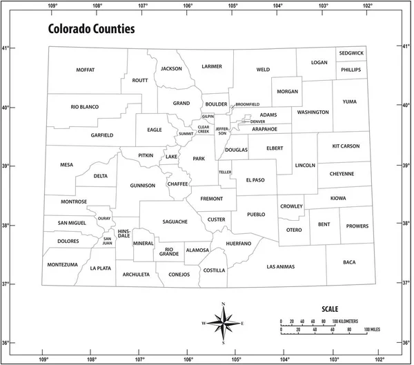
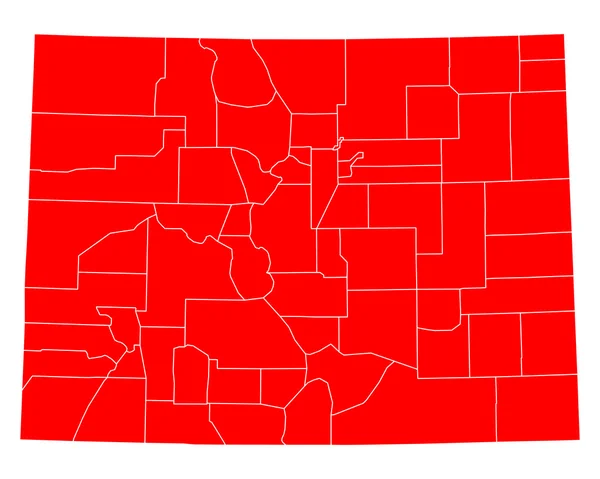
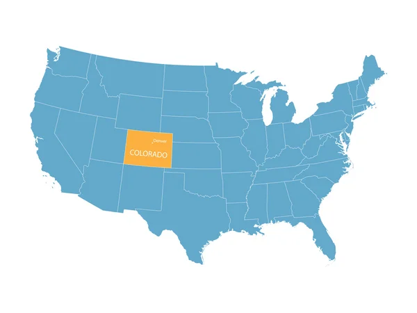
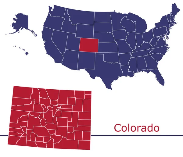
Colorado State Outline Administrative And Political Vector Map In Black And White
Vector, 0.72MB, 5088 × 4486 eps


Map Of Hinsdale County In Colorado State On White Background. Single County Map Highlighted By Black Colour On Colorado Map. UNITED STATES, US
Image, 4.35MB, 8000 × 6266 jpg

Map Of Alamosa County In Colorado State On White Background. Single County Map Highlighted By Black Colour On Colorado Map. UNITED STATES, US
Image, 4.35MB, 8000 × 6266 jpg

Map Of Baca County In Colorado State On White Background. Single County Map Highlighted By Black Colour On Colorado Map. UNITED STATES, US
Image, 4.35MB, 8000 × 6266 jpg

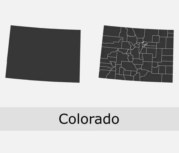
Colorado Administrative Map, Colorado Outline And Solid Map Set - Illustration Version
Image, 1.55MB, 8000 × 2000 jpg

Map Of Archuleta County In Colorado State On White Background. Single County Map Highlighted By Black Colour On Colorado Map. UNITED STATES, US
Image, 4.35MB, 8000 × 6266 jpg

Map Of Bent County In Colorado State On White Background. Single County Map Highlighted By Black Colour On Colorado Map. UNITED STATES, US
Image, 4.35MB, 8000 × 6266 jpg

Map Of Rio Blanco County In Colorado State On White Background. Single County Map Highlighted By Black Colour On Colorado Map. UNITED STATES, US
Image, 4.35MB, 8000 × 6266 jpg
Page 1 >> Next