
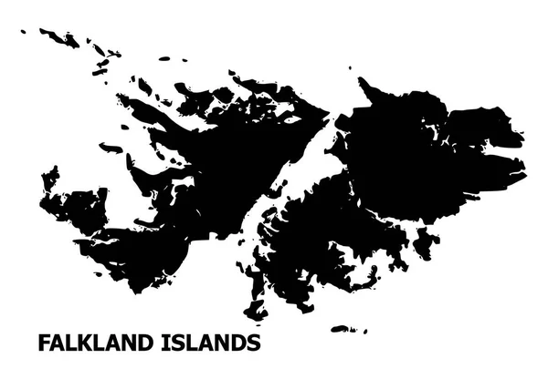
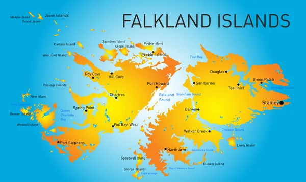
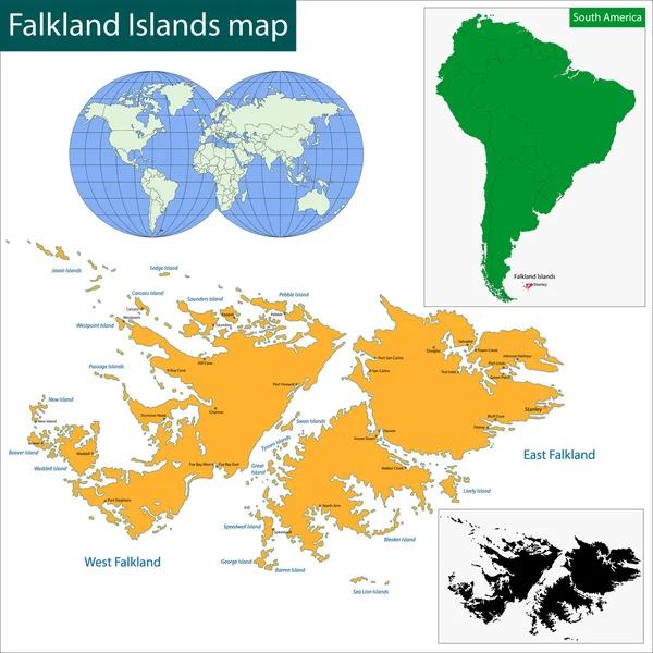
Stock image Falkland Map
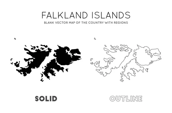
Falklands Map Blank Vector Map Of The Country With Regions Borders Of Falklands For Your
Vector, 0.33MB, 6754 × 4449 eps
Falklands Region Map Grey Outline On White Background Detailed Map Of Falklands Regions Vector
Vector, 0.33MB, 8333 × 8333 eps


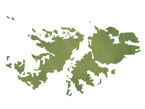
Curved Paper Map Of Falkland Islands With Capital Stanley On Gray Background.
Vector, 0.31MB, 6519 × 5000 eps
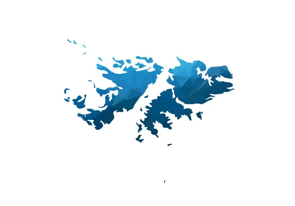
Vector Map - Blue Geometric Rumpled Triangular. Low Poly Map Of Afghanistan. Contour/shape Map Isolated On White Background.
Vector, 1.88MB, 5000 × 3500 eps

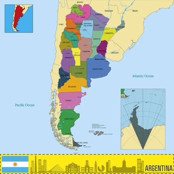
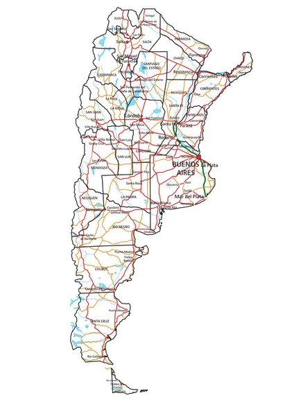
Political Vector Map Of Argentina With All Regions And Their Capitals
Vector, 9.93MB, 7000 × 7000 eps
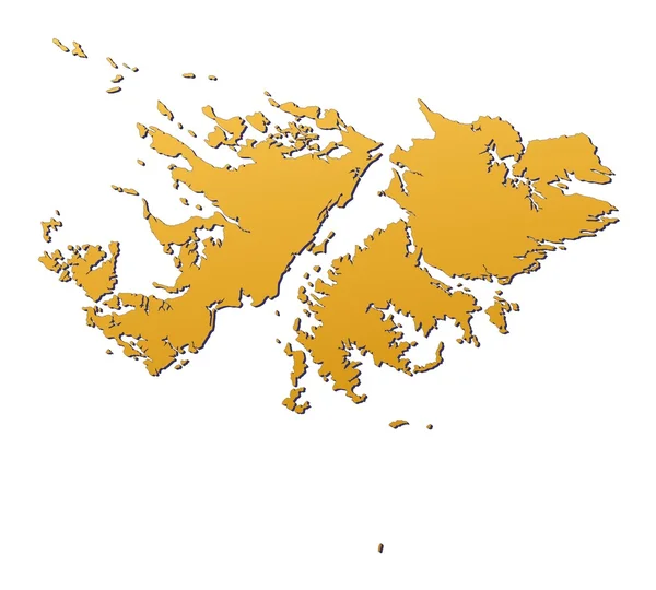
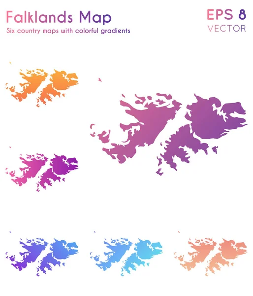
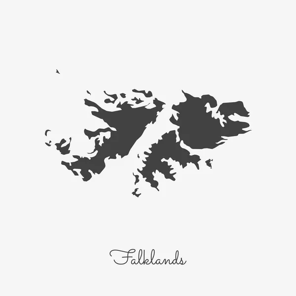
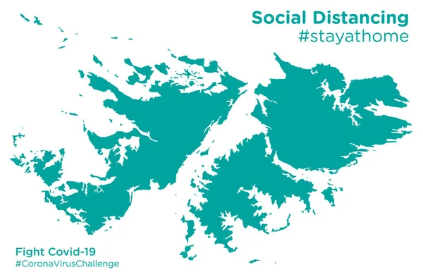
Map Of Falklands With Beautiful Gradients Adorable Set Of Falklands Maps Bizarre Vector
Vector, 0.29MB, 5076 × 5922 eps
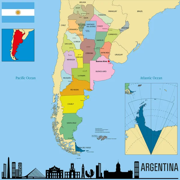
Political Vector Map Of Argentina With All Regions And Their Capitals
Vector, 9.56MB, 7000 × 7000 eps
Map Landmass And Transportation Icon Great For Any Use. Vector EPS10.
Vector, 2.53MB, 5000 × 5000 eps
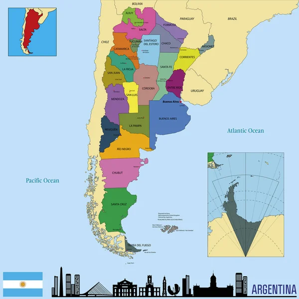
Political Vector Map Of Argentina With All Regions And Their Capitals
Vector, 9.56MB, 7000 × 7000 eps
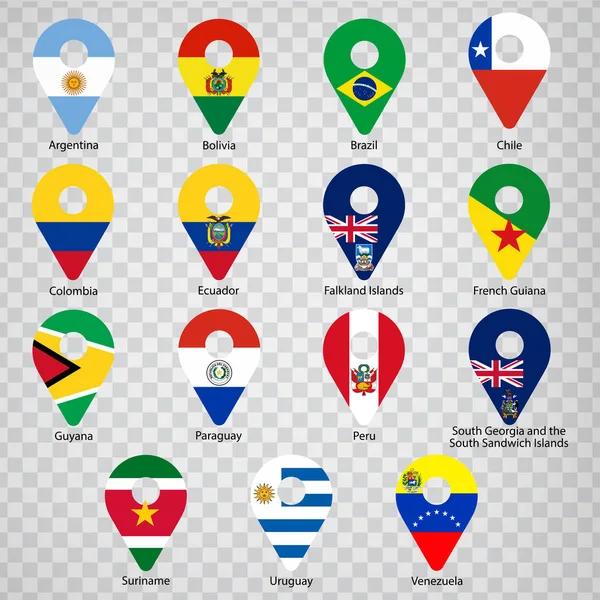
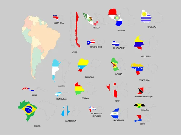
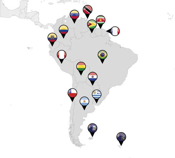
Fifteen Flags Of South American Countries - Alphabetical Order With Name. Set Of 2d Geolocation Signs Like National Flags Of South American. Fifteen Geolocation Signs. EPS10.
Vector, 14.56MB, 5000 × 5000 eps

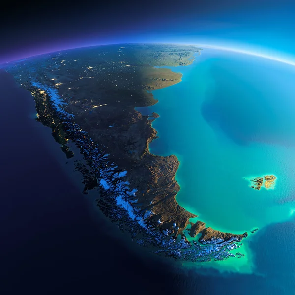
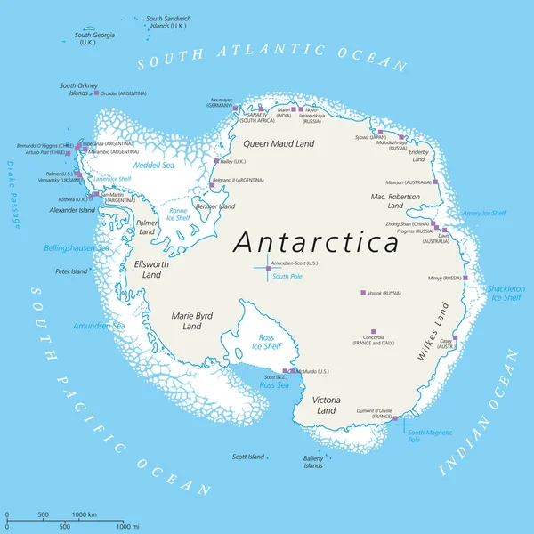
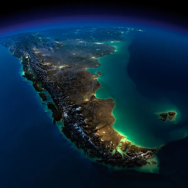
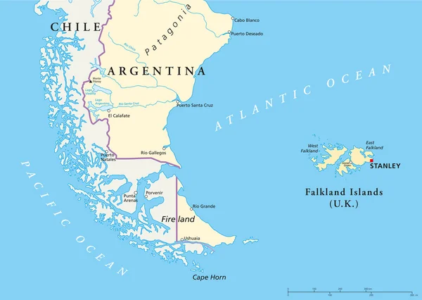
Drake Passage, Political Map. Mar De Hoces, Hoces Sea, Body Of Water Between Cape Horn And Antarctica Peninsula. Connect South Atlantic Ocean With South Pacific Ocean, Extends Into Southern Ocean.
Vector, 3.33MB, 5988 × 9000 eps


Falkland Islands (British Overseas Territory, United Kingdom) Map Vector Illustration, Scribble Sketch Islas Malvinas (East And West Falkland) Ma
Vector, 1.25MB, 7087 × 4726 eps
Page 1 >> Next