
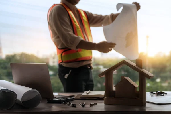
Stock image Land And House Surveyor

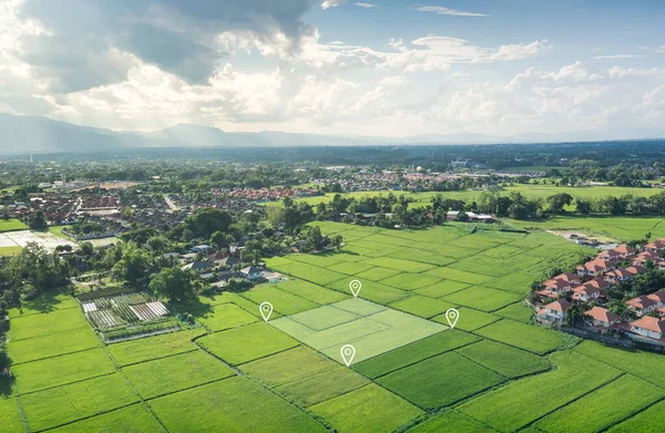
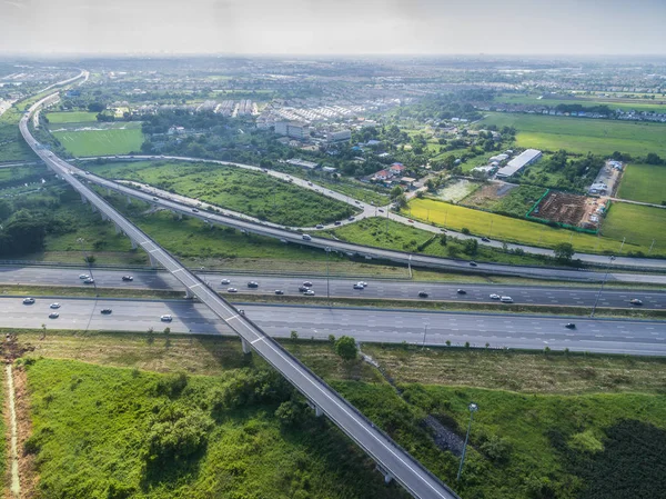
Land Plot In Aerial View. Gps Registration Survey Of Property, Real Estate For Map With Location, Area. Concept For Residential Construction And Development. Also Home, House For Sale, Buy, Purchase.
Image, 14.04MB, 5464 × 3640 jpg

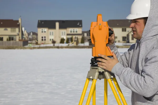
Construction Worker Using Theodolite Surveying Optical Instrument For Measuring Angles In Horizontal And Vertical Planes On Construction Site. Worker In Hard Hat Making Projections For The Building.
Image, 2.52MB, 5120 × 2880 jpg


Construction Worker Using Theodolite Surveying Optical Instrument For Measuring Angles In Horizontal And Vertical Planes On Construction Site. Worker In Hard Hat Making Projections For The Building.
Image, 3.16MB, 5120 × 2880 jpg


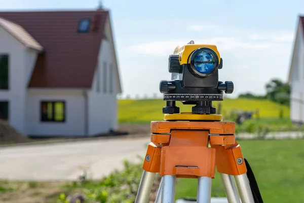
Close-up Of Surveyor Optical Equipment Tacheometer Or Theodolite On Construction Site With Selective Focus And Blurred Background
Image, 3.51MB, 4000 × 2667 jpg


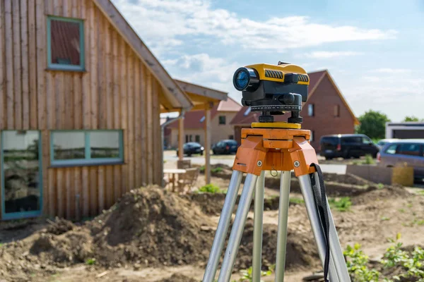
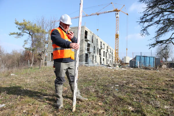
Site Engineer In Hi-viz Installing Surveying Instrument On Construction Site
Image, 12.08MB, 6000 × 3999 jpg

Construction Worker Using Theodolite Surveying Optical Instrument For Measuring Angles In Horizontal And Vertical Planes On Construction Site. Worker In Hard Hat Making Projections For The Building.
Image, 2.71MB, 5120 × 2880 jpg


Construction Worker Using Theodolite Surveying Optical Instrument For Measuring Angles In Horizontal And Vertical Planes On Construction Site. Worker In Hard Hat Making Projections For The Building.
Image, 2.93MB, 5120 × 2880 jpg

Land Or Landscape Of Green Field In Aerial View. Include Agriculture Farm, Residential Or House Building In Village. That Real Estate Or Property For Construction, Housing Subdivision, Owned Or Sale.
Image, 15.83MB, 5464 × 3640 jpg

Construction Worker Using Theodolite Surveying Optical Instrument For Measuring Angles In Horizontal And Vertical Planes On Construction Site. Engineer And Architect Using Tablet Next To Surveyor.
Image, 3.03MB, 5120 × 2880 jpg

Construction Worker Using Theodolite Surveying Optical Instrument For Measuring Angles In Horizontal And Vertical Planes On Construction Site. Engineer And Architect Using Tablet Next To Surveyor.
Image, 3.49MB, 5120 × 2880 jpg

Construction Worker Using Theodolite Surveying Optical Instrument For Measuring Angles In Horizontal And Vertical Planes On Construction Site. Engineer And Architect Using Tablet Next To Surveyor.
Image, 3.44MB, 5120 × 2880 jpg

Land Or Landscape Of Green Field In Aerial View. Include Agriculture Farm, Residential Or House Building In Village. That Real Estate Or Property For Construction, Housing Subdivision, Owned Or Sale.
Image, 18.92MB, 5464 × 3640 jpg

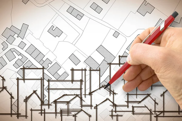
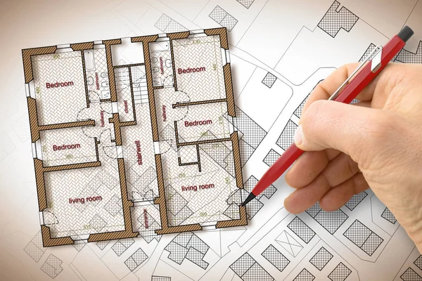
Architect Drawing A Planimetry Of A Residential Building Whit An Imaginary Cadastral Map Of Territory.
Image, 5.67MB, 4752 × 3168 jpg

Construction Worker Using Theodolite Surveying Optical Instrument For Measuring Angles In Horizontal And Vertical Planes On Construction Site. Engineer And Architect Using Tablet Next To Surveyor.
Image, 3.23MB, 5120 × 2880 jpg

Construction Worker Using Theodolite Surveying Optical Instrument For Measuring Angles In Horizontal And Vertical Planes On Construction Site. Engineer And Architect Using Tablet Next To Surveyor.
Image, 4.01MB, 5120 × 2880 jpg
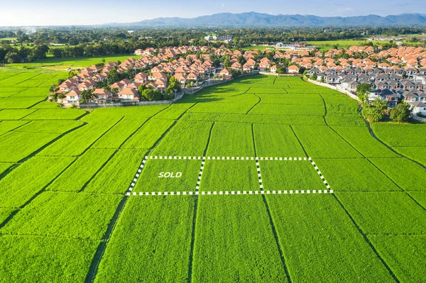
Land Plot In Aerial View. Identify Registration Symbol Of Vacant Area For Map. That Property, Real Estate For Business Of Home, House Or Residential I.e. Construction, Development, Sale, Rent, Buy.
Image, 11.67MB, 5464 × 3562 jpg
Land For Sale And Investment In Aerial View. Include Green Field, Agriculture Farm, Residential House Building, Village. That Real Estate Or Property. Plot Of Land Lot For Subdivision Or Development.
Image, 20.73MB, 5464 × 3640 jpg

Construction Worker Using Theodolite Surveying Optical Instrument For Measuring Angles In Horizontal And Vertical Planes On Construction Site. Engineer And Architect Using Tablet Next To Surveyor.
Image, 3.3MB, 5120 × 2880 jpg

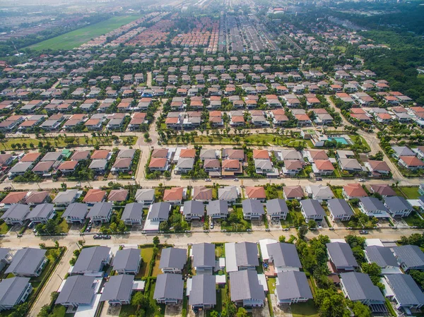
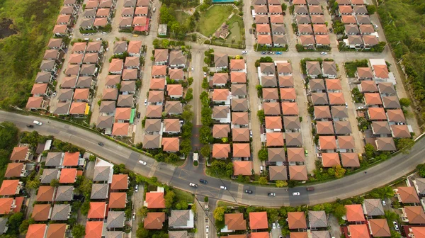
Neighborhood With Residential Houses And Driveways, Land Use Planning Concept
Image, 16.57MB, 5180 × 3451 jpg

Construction Worker Using Theodolite Surveying Optical Instrument For Measuring Angles In Horizontal And Vertical Planes On Construction Site. Engineer And Architect Using Tablet Next To Surveyor.
Image, 3.17MB, 5120 × 2880 jpg

Architect Drawing A New City With A City Map Against A Rural Scene With A Lone Tree - Concept Image.
Image, 13.72MB, 4752 × 3168 jpg

Land For Sale And Investment In Aerial View. Include Green Field, Agriculture Farm, Residential House Building, Village. That Real Estate Or Property. Plot Of Land Lot For Subdivision Or Development.
Image, 21.45MB, 5464 × 3640 jpg

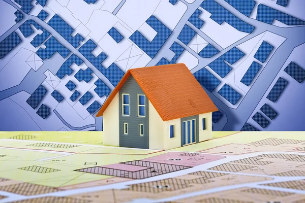
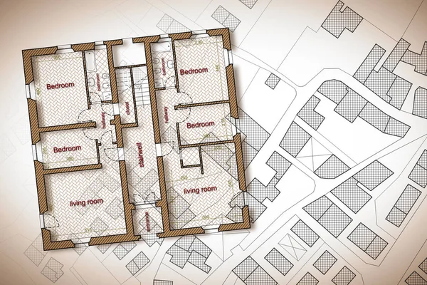
New Home And Free Vacant Land For Building Activity - Construction Industry Concept With A Residential Building, Imaginary Cadastral Map, General Urban Planning And Zoning Regulations
Image, 13.3MB, 5760 × 3840 jpg


Civil Engeneering Line Icons, Signs, Vector Set, Outline Illustration Concept
Vector, 1.73MB, 6000 × 4950 eps


Neighborhood With Residential Houses And Driveways, Land Use Planning Concept
Image, 8.4MB, 3900 × 2190 jpg
Page 1 >> Next