photo free
Home Images Vectors Videos

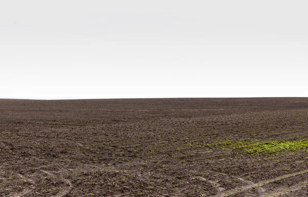
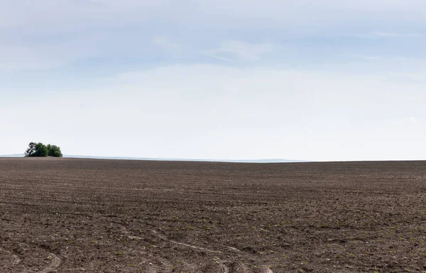
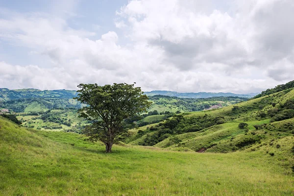
Stock image Land Surface

stock image grassy land near ground against grey sky

Grassy Land Near Ground Against Grey Sky

Image, 12.89MB, 6612 × 4238 jpg
stock image Soil background

Soil Background

Image, 12.69MB, 4368 × 2912 jpg
stock image scenic view of rocky cliff and cloudy sky, Caucasus, Russia

Scenic View Of Rocky Cliff And Cloudy Sky, Caucasus, Russia

Image, 6.66MB, 3872 × 2592 jpg
stock image Picturesque view of the land surface from a window of the plane flying at big height

Picturesque View Of The Land Surface From A Window Of The Plane Flying At Big Height

Image, 3.38MB, 2500 × 1667 jpg
stock image land with ground against blue sky and clouds

Land With Ground Against Blue Sky And Clouds

Image, 11.44MB, 6492 × 4161 jpg
stock image View over Monteverde

View Over Monteverde

Image, 3.66MB, 3504 × 2336 jpg
stock image top view of land with ground in summertime

Top View Of Land With Ground In Summertime

Image, 15.36MB, 6498 × 4393 jpg
stock image The dirt road in a farm, Victoria, Australia

The Dirt Road In A Farm, Victoria, Australia

Image, 1.39MB, 4608 × 3072 jpg
stock image ground on land against blue sky and clouds

Ground On Land Against Blue Sky And Clouds

Image, 11MB, 6612 × 4238 jpg
stock vector Water natural is stored underground in Crevice or accumulate in the gap between gravel pits.

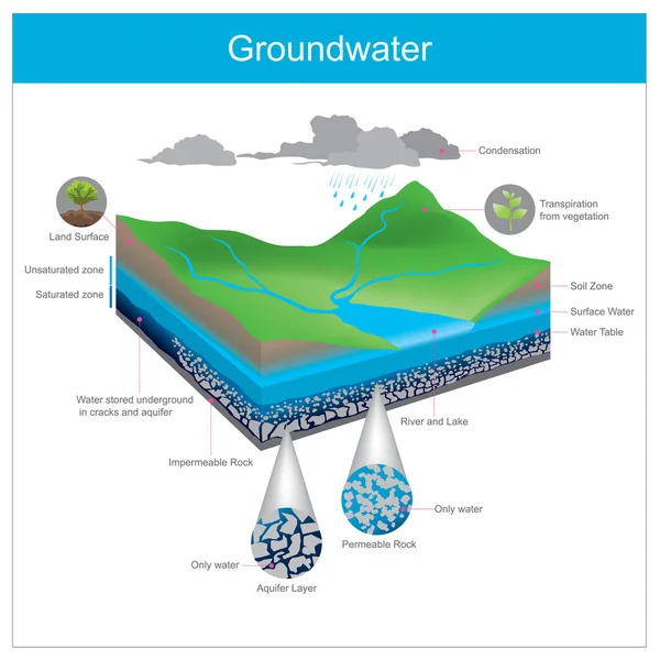
Water Natural Is Stored Underground In Crevice Or Accumulate In The Gap Between Gravel Pits.

Vector, 8.21MB, 7000 × 7000 eps
stock image land with green grass and ground against blue sky

Land With Green Grass And Ground Against Blue Sky

Image, 14.51MB, 6051 × 4091 jpg
stock image Magma rock with garnet crystals

Magma Rock With Garnet Crystals

Image, 7.02MB, 3900 × 2600 jpg
stock image green grass growing on ground in summer

Green Grass Growing On Ground In Summer

Image, 18.11MB, 6612 × 4238 jpg
stock image Space background. Mountain, planet land surface with colorful fractal nebula and stars. Elements furnished by NASA. 3D rendering

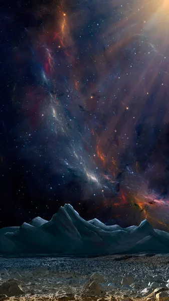
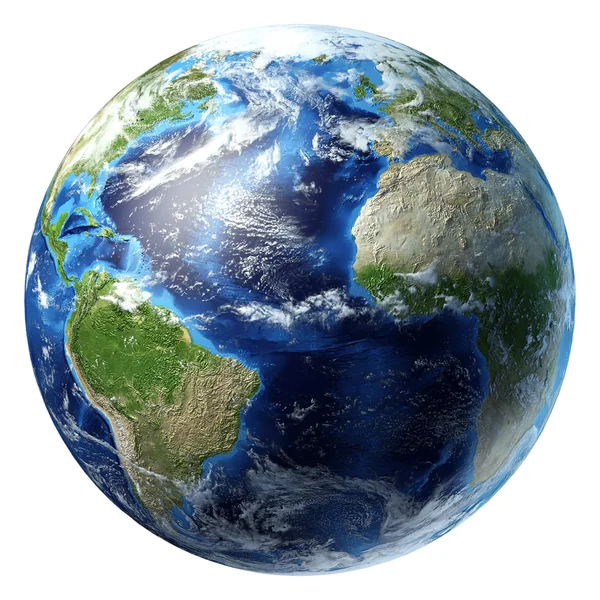
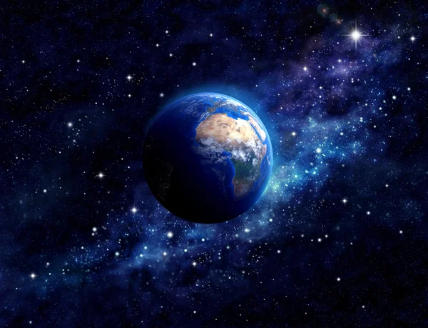
Space Background. Mountain, Planet Land Surface With Colorful Fractal Nebula And Stars. Elements Furnished By NASA. 3D Rendering

Image, 8.43MB, 2812 × 5000 jpg
stock image land with ground against cloudy sky in summer

Land With Ground Against Cloudy Sky In Summer

Image, 10.96MB, 6276 × 4243 jpg
stock image World solid contour map in the Robinson projection centered on the 90th meridian west longitude

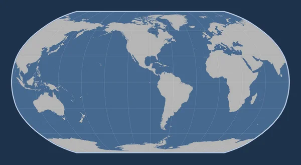
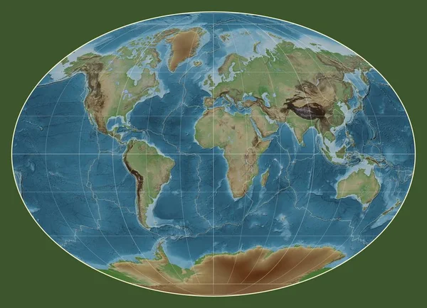
World Solid Contour Map In The Robinson Projection Centered On The 90th Meridian West Longitude

Image, 1.54MB, 4800 × 2625 jpg
stock image Pyatigorsk

Pyatigorsk

Image, 12.45MB, 9837 × 2944 jpg
FREE IMAGE
stock image Somalian tectonic plate on the bilevel elevation map in the Compact Miller projection centered meridionally.

Somalian Tectonic Plate On The Bilevel Elevation Map In The Compact Miller Projection Centered Meridionally.

Image, 7.2MB, 4800 × 3010 jpg
stock image Dry soil with deep cracks, Crimea, Ukraine, May 2013

Dry Soil With Deep Cracks, Crimea, Ukraine, May 2013

Image, 11.64MB, 4912 × 3264 jpg
stock image Indian tectonic plate on the Wiki style elevation map in the Gall Stereographic projection centered meridionally. Distribution of known volcanoes

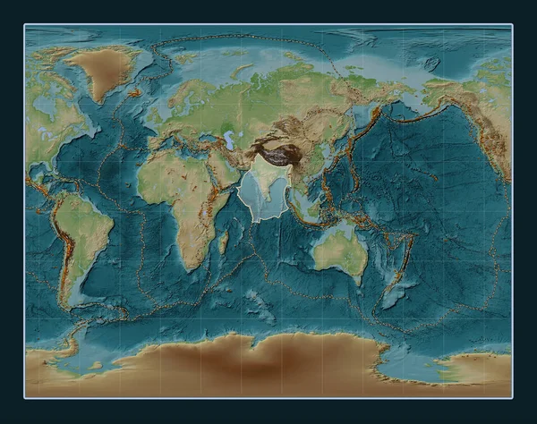
Indian Tectonic Plate On The Wiki Style Elevation Map In The Gall Stereographic Projection Centered Meridionally. Distribution Of Known Volcanoes

Image, 13.86MB, 4800 × 3792 jpg
stock image young green plants on cracked land surface, global warming concept

Young Green Plants On Cracked Land Surface, Global Warming Concept

Image, 16.06MB, 7360 × 4912 jpg
stock image Tectonic plate boundaries on a colored elevation map of the world in the Fahey projection centered on the meridian 0 longitude

Tectonic Plate Boundaries On A Colored Elevation Map Of The World In The Fahey Projection Centered On The Meridian 0 Longitude

Image, 6.6MB, 3977 × 2880 jpg
stock image cracked barren land surface, global warming concept

Cracked Barren Land Surface, Global Warming Concept

Image, 15.45MB, 7360 × 4912 jpg
stock image Okhotsk tectonic plate on the bilevel elevation map in the Compact Miller projection centered meridionally.

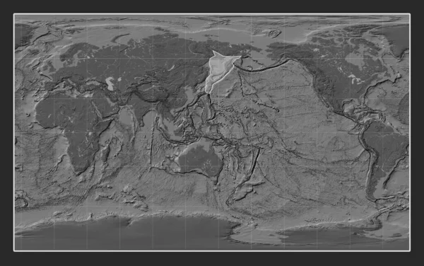
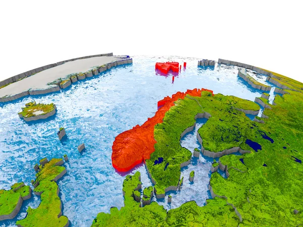
Okhotsk Tectonic Plate On The Bilevel Elevation Map In The Compact Miller Projection Centered Meridionally.

Image, 7.21MB, 4800 × 3010 jpg
stock image close up of brown dry sand in desert

Close Up Of Brown Dry Sand In Desert

Image, 14.75MB, 4912 × 7360 jpg
stock image Futuristic Holographic Terrain environment, geomorphology, topography loop motion graphic user interface head up display screen

Futuristic Holographic Terrain Environment, Geomorphology, Topography Loop Motion Graphic User Interface Head Up Display Screen

Image, 9.09MB, 6000 × 3375 jpg
stock image cracked barren land surface, global warming concept

Cracked Barren Land Surface, Global Warming Concept

Image, 18.52MB, 7360 × 4912 jpg
stock image Colombia highlighted in red on globe with realistic land surface, visible country borders and water in place of oceans. 3D illustration. Elements of this image furnished by NASA.

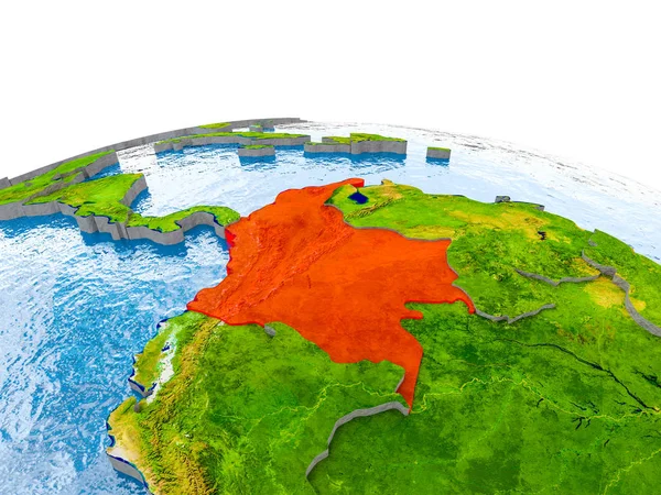
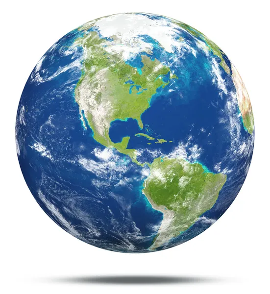
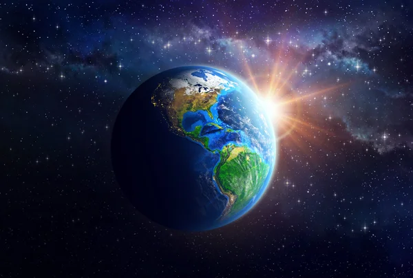
Colombia Highlighted In Red On Globe With Realistic Land Surface, Visible Country Borders And Water In Place Of Oceans. 3D Illustration. Elements Of This Image Furnished By NASA.

Image, 14.33MB, 5000 × 3750 jpg
stock image cracks

Cracks

Image, 11.29MB, 4912 × 3264 jpg
stock image Dry and cracked soil ground during drought

Dry And Cracked Soil Ground During Drought

Image, 20.55MB, 6016 × 4016 jpg
stock image view of wavy lake water under cloudy sky on sunset, russia, lake baikal

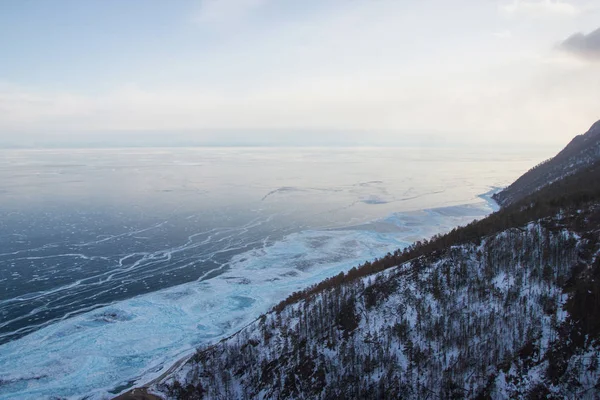
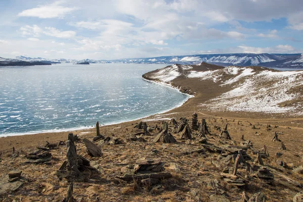
View Of Wavy Lake Water Under Cloudy Sky On Sunset, Russia, Lake Baikal

Image, 1.52MB, 3000 × 2000 jpg
stock image Norway on model of Earth

Norway On Model Of Earth

Image, 16.54MB, 5000 × 3750 jpg
stock image selective focus of young green plants on dried cracked land surface, global warming concept

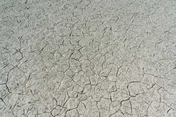
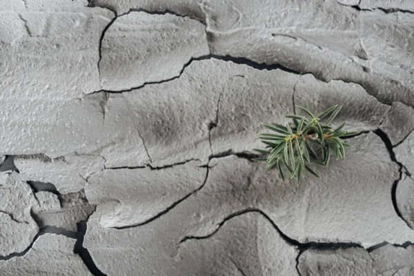
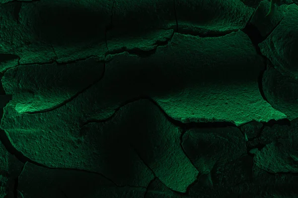
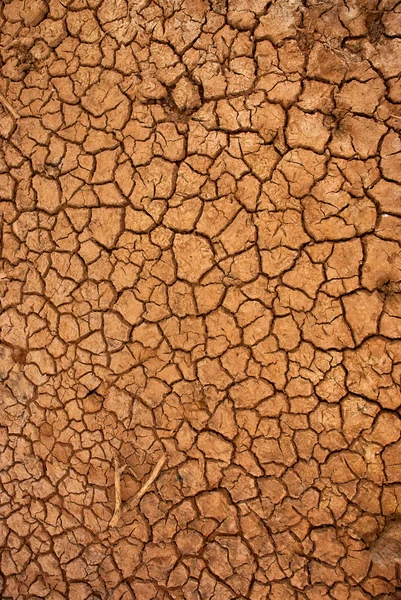
Selective Focus Of Young Green Plants On Dried Cracked Land Surface, Global Warming Concept

Image, 14.18MB, 7360 × 4912 jpg
stock image Soil and grass in blue sky

Soil And Grass In Blue Sky

Image, 7.73MB, 4138 × 2728 jpg
stock image infertile cracked land surface, global warming concept

Infertile Cracked Land Surface, Global Warming Concept

Image, 18.89MB, 7360 × 4912 jpg
stock image Earth globe, realistic 3 D rendering. Americas view. (Source map

Earth Globe, Realistic 3 D Rendering. Americas View. (Source Map

Image, 13.02MB, 5000 × 5000 jpg
stock image tennis racket and ball

Tennis Racket And Ball

Image, 18.01MB, 7360 × 4912 jpg
stock image Planet earth with some clouds. Atlantic ocean view.

Planet Earth With Some Clouds. Atlantic Ocean View.

Image, 14.38MB, 5000 × 5000 jpg
stock image tennis racket and ball

Tennis Racket And Ball

Image, 18.57MB, 7360 × 4912 jpg
stock image Dry agricultural brown soil

Dry Agricultural Brown Soil

Image, 14.07MB, 3168 × 4144 jpg
stock image hill slope with trees against ice water surface,russia, lake baikal

Hill Slope With Trees Against Ice Water Surface,russia, Lake Baikal

Image, 1.84MB, 3000 × 2000 jpg
stock image Earth

Earth

Image, 6.82MB, 3280 × 3564 jpg
stock image ice

Ice

Image, 1.32MB, 2500 × 1667 jpg
stock image Planet Earth in outer space

Planet Earth In Outer Space

Image, 5.44MB, 6000 × 4600 jpg
stock image man with backpack going through ice water surface and hills on background, Russia, Lake Baikal

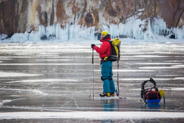
Man With Backpack Going Through Ice Water Surface And Hills On Background, Russia, Lake Baikal

Image, 3.17MB, 3500 × 2334 jpg
stock image Planet Earth in outer space

Planet Earth In Outer Space

Image, 5.33MB, 8460 × 5711 jpg
stock image shore

Shore

Image, 2.77MB, 3000 × 2000 jpg
stock image Dry cracked ground surface

Dry Cracked Ground Surface

Image, 11.52MB, 2592 × 3872 jpg
stock image group of tourists walking on ice water surface during daytime, russia, lake baikal

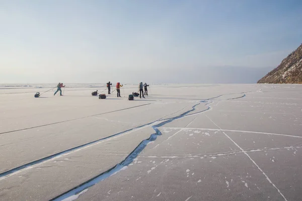
Group Of Tourists Walking On Ice Water Surface During Daytime, Russia, Lake Baikal

Image, 3.48MB, 4000 × 2667 jpg
FREE IMAGE
stock image Planet Earth in outer space

Planet Earth In Outer Space

Image, 3.39MB, 4500 × 3450 jpg
Page 1 >> Next