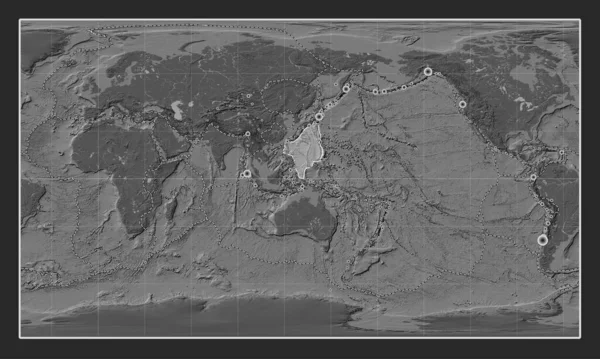
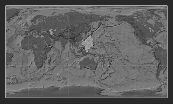
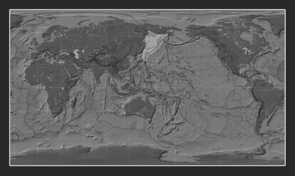
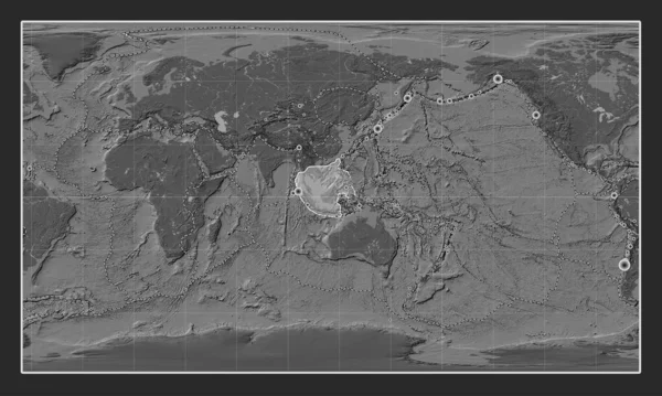
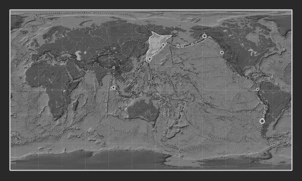
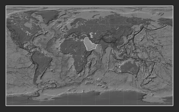
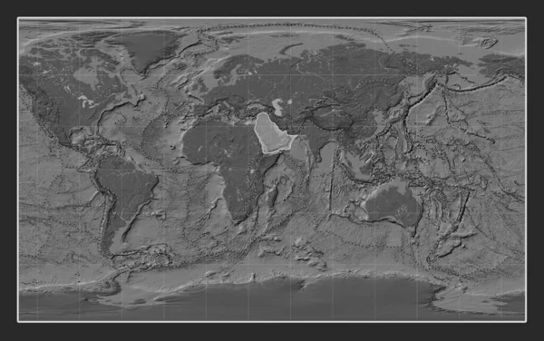
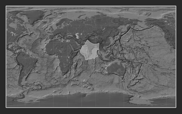
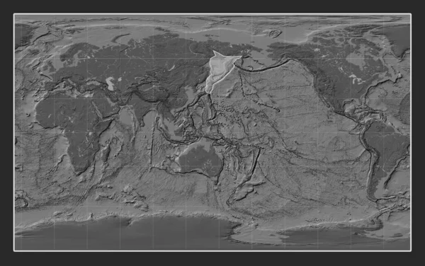
Stock image Okhotsk tectonic plate on the bilevel elevation map in the Compact Miller projection centered meridionally.
Published: Jul.24, 2023 13:16:58
Author: Yarr65
Views: 0
Downloads: 1
File type: image / jpg
File size: 7.21 MB
Orginal size: 4800 x 3010 px
Available sizes:
Level: bronze