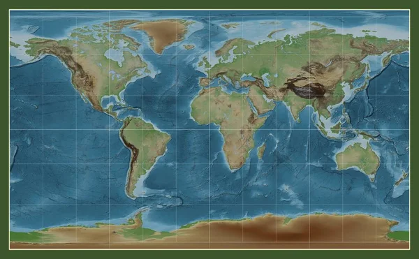
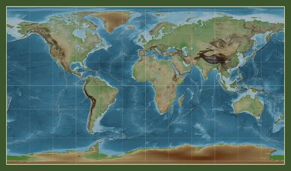
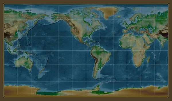
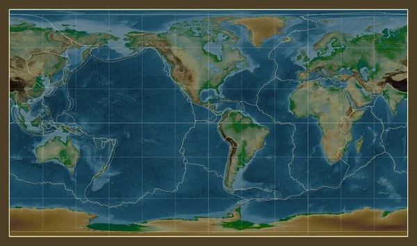
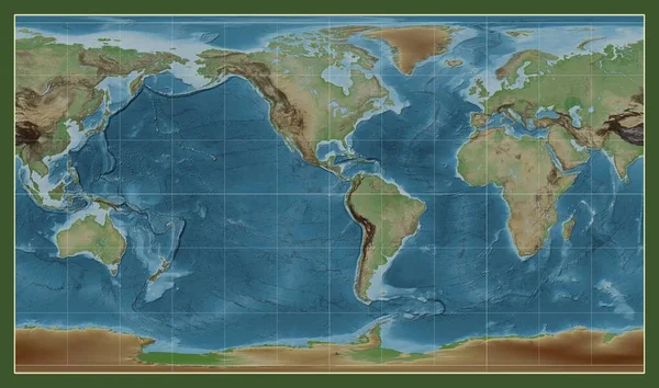
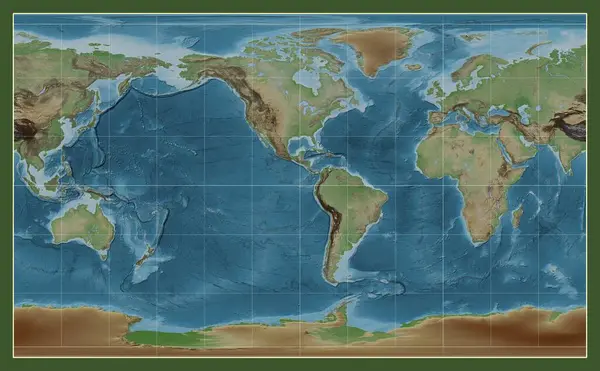
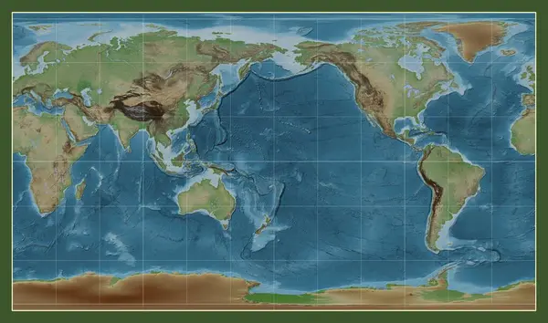
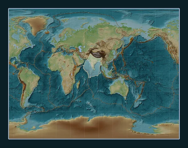
Stock image Indian tectonic plate on the Wiki style elevation map in the Gall Stereographic projection centered meridionally. Distribution of known volcanoes
Published: Jul.24, 2023 13:52:25
Author: Yarr65
Views: 4
Downloads: 1
File type: image / jpg
File size: 13.86 MB
Orginal size: 4800 x 3792 px
Available sizes:
Level: bronze