
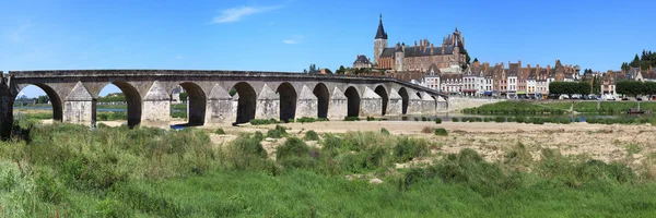
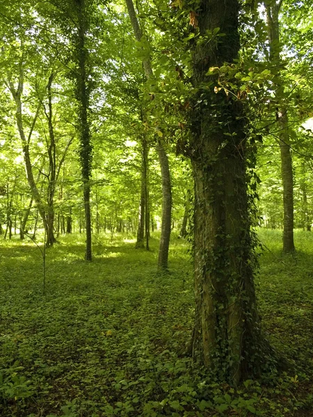
Stock image Loire Area


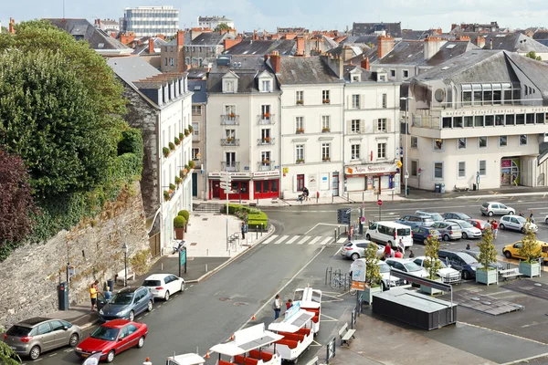


Nantes, France - September 25, 2018: Detail Of Architecture And Street Atmosphere In The Streets Of The Historic City Center On A Summer Day
Image, 8.96MB, 5425 × 3617 jpg


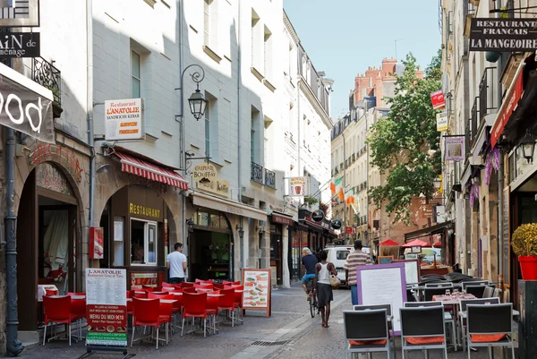
Nantes, France - September 25, 2018: Detail Of Architecture And Street Atmosphere In The Streets Of The Historic City Center On A Summer Day
Image, 10.76MB, 5359 × 3573 jpg


Vector Illustration White Map Of France On Black Circle, Isolated On White Background
Vector, 5.35MB, 5000 × 5000 eps
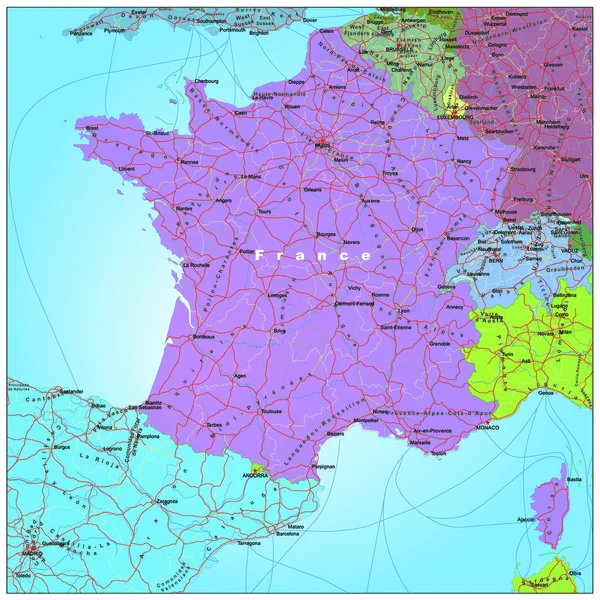
Detailed Map Of Metropolis And Overseas Territories Of France With Administrative Divisions Into Regions And Departments, Large Cities Of The Country, Vector Illustration On A White Background
Vector, 4.5MB, 7677 × 4326 eps

Maine Et Loire Department Map, Administrative Division Of France. Vector Illustration.
Vector, 9.66MB, 8334 × 8334 eps


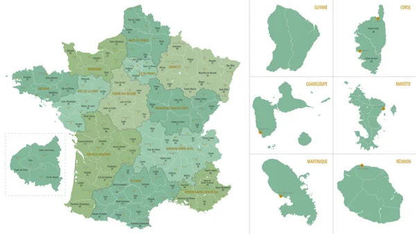
Vector Color Detailed Map Of Metropolis And Overseas Territories Of France With Administrative Divisions Of The Country, Each Region Is Presented Separately In-highly Detailed And Divided Into Departments
Vector, 5.32MB, 7677 × 4274 eps
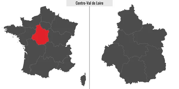
Map Of Centre-Val De Loire Region Of France And Location On French Map
Vector, 2.85MB, 6000 × 3000 eps

Loire Atlantique Department Map, Administrative Division Of France. Vector Illustration.
Vector, 5.37MB, 8334 × 8334 eps


Central Vale Of The Loire Of France Map Symbol Shape, Travel Web Flat Concept Icon Symbol Vector .
Vector, 0.39MB, 4096 × 4096 eps


Haute Loire Department Map, Administrative Division Of France. Vector Illustration.
Vector, 9.66MB, 8334 × 8334 eps


Map Of Saint-Etienne, France. Detailed City Vector Map, Metropolitan Area. Streetmap With Roads.
Vector, 4.6MB, 5060 × 3218 eps


Loire Atlantique Department Map, Administrative Division Of France. Vector Illustration.
Vector, 9.66MB, 8334 × 8334 eps


Saint-Etienne Map, France. City Map, Vector Streetmap With Buildings And Roads, Parks And Rivers.
Vector, 6.94MB, 3220 × 4794 eps

Indre Et Loire Department Map, Administrative Division Of France. Vector Illustration.
Vector, 9.66MB, 8334 × 8334 eps


Page 1 >> Next