
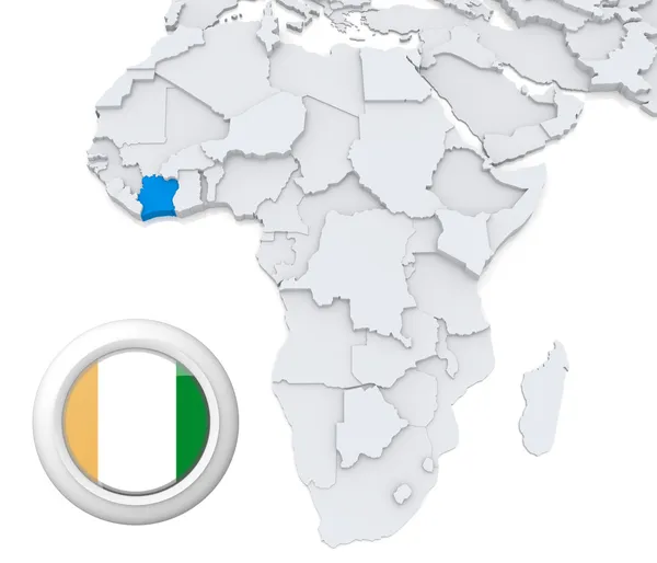
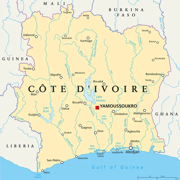
Stock image Map Cte Divoire


Detailed Map Of Cote D'Ivoire With Country Flag And Location On World Map. Vector Illustration
Vector, 4.24MB, 5161 × 7788 eps
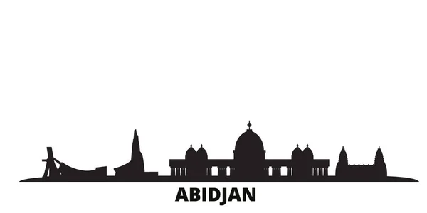
Cote Divoire, Abidjan City Skyline Isolated Vector Illustration. Cote Divoire, Abidjan Travel Black Cityscape
Vector, 0.25MB, 6000 × 3000 eps
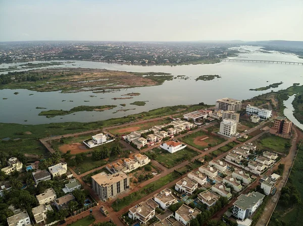
Bamako Is The Capital And Largest City Of Mali, With A Population Of 1.8 Million. In 2006, It Was Estimated To Be The Fastest-growing City In Africa And Sixth-fastest In The World. It Is Located On The Niger River, Near The Rapids That Divide The Upp
Image, 13.6MB, 4048 × 3032 jpg
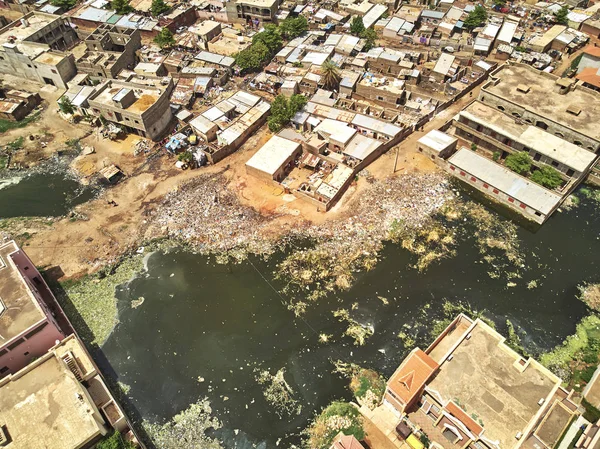
Bamako Is The Capital And Largest City Of Mali, With A Population Of 1.8 Million. In 2006, It Was Estimated To Be The Fastest-growing City In Africa And Sixth-fastest In The World. It Is Located On The Niger River, Near The Rapids That Divide The Upp
Image, 14.33MB, 3982 × 2983 jpg
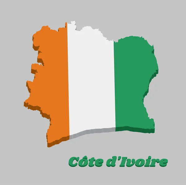
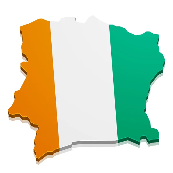
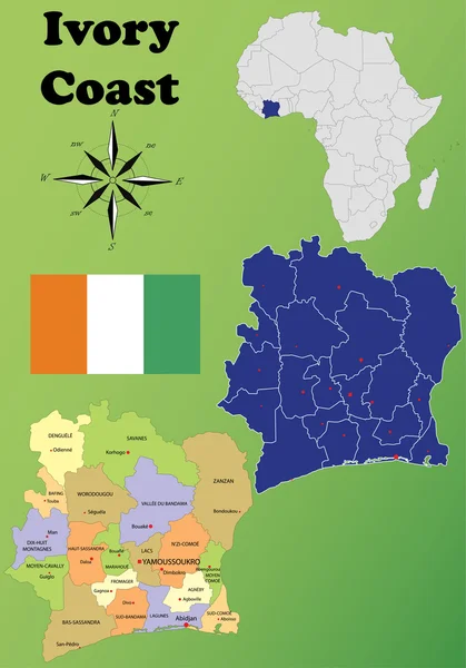
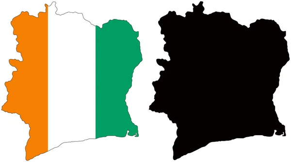
3D Map Outline And Flag Of Ivory Coast A Vertical Tricolor Of Orange White And Green. With Name Text Cote DIvoire.
Vector, 5.77MB, 8112 × 8079 eps


World Map With A Magnifying Glass Pointing At Ivory Coast. Map Of Ivory Coast With The Flag In The Loop.
Vector, 1.43MB, 6000 × 3750 eps


Ivory Coast Map With Location Pointer Marks. Infographic Vector Template, Isolated On White Background.
Vector, 1.3MB, 4000 × 4000 eps


Travel To Ivory Coast Concept, Map With Pin On Map Of Ivory Coast. Vacation Preparation Map, Flag, Passport And Tickets.
Vector, 2.66MB, 6000 × 3000 eps
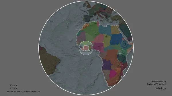
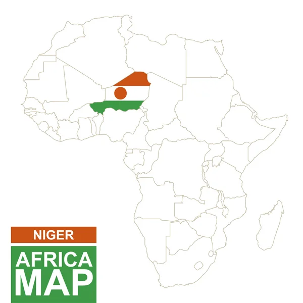
Area Of Ivory Coast Marked With A Circle On The Large-scale Map Of The Continent Isolated Against Desaturated Background. Capital Georeferences And Names Given. Color Map Of The Administrative Division
Image, 1.28MB, 2880 × 1620 jpg


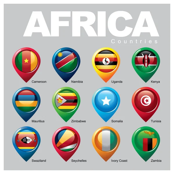
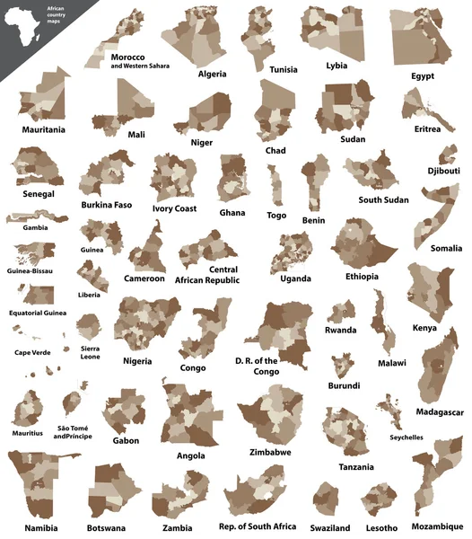
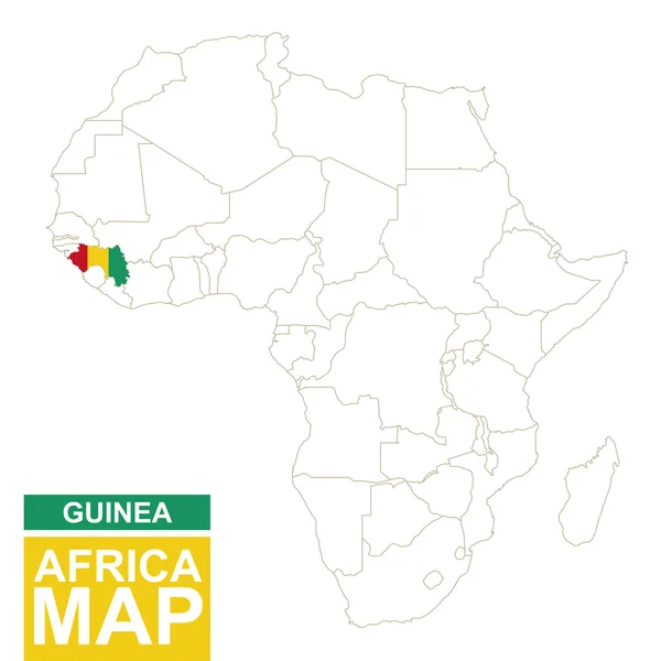
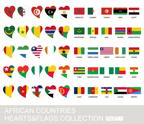
Vector Map Of Africa Continent Colored By Regions. All Flags Of African Countries Arranged In Alphabetical Order And Singled Out By Regions
Vector, 8.46MB, 8334 × 5379 eps
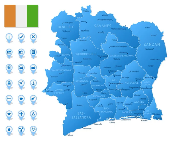
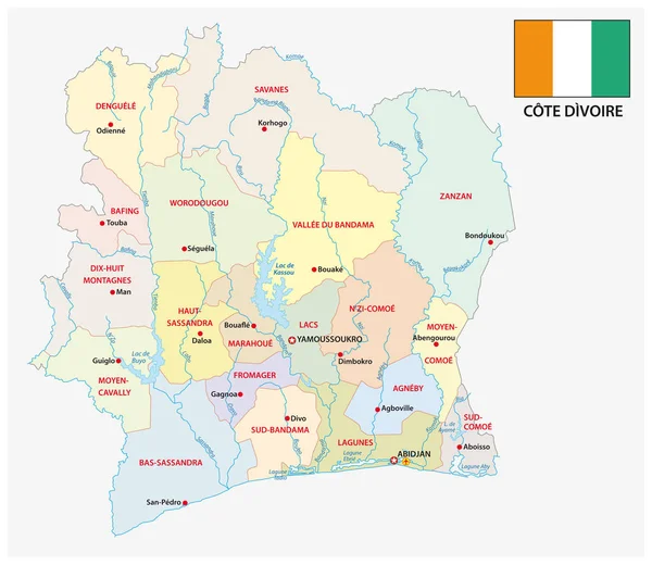
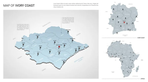
Blue Map Of Ivory Coast Administrative Divisions With Travel Infographic Icons. Vector Illustration
Vector, 1.61MB, 6425 × 5331 eps


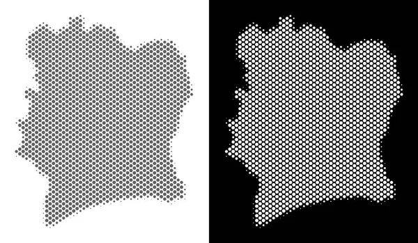
Green Gradient Low Poly Map Of Ivory Coast With Capital Yamoussoukro
Vector, 0.35MB, 5000 × 5000 eps


Ivory Coast Vector Map. Editable Template With Regions, Cities, Red Pins And Blue Surface On White Background.
Vector, 1.15MB, 3000 × 3000 eps
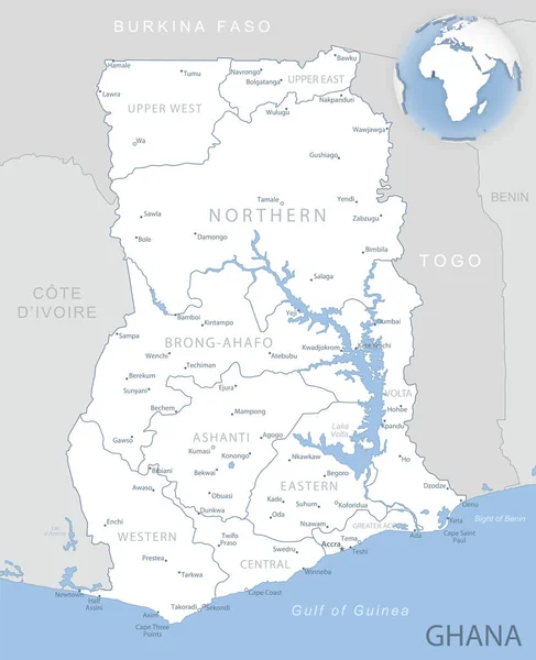
Blue-gray Detailed Map Of Ghana Administrative Divisions And Location On The Globe. Vector Illustration
Vector, 10.33MB, 5256 × 6467 eps

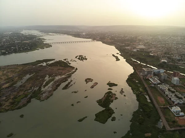
Bamako Is The Capital And Largest City Of Mali, With A Population Of 1.8 Million. In 2006, It Was Estimated To Be The Fastest-growing City In Africa And Sixth-fastest In The World. It Is Located On The Niger River, Near The Rapids That Divide The Upp
Image, 10.97MB, 4048 × 3032 jpg


Page 1 >> Next