photo free
Home Images Vectors Videos

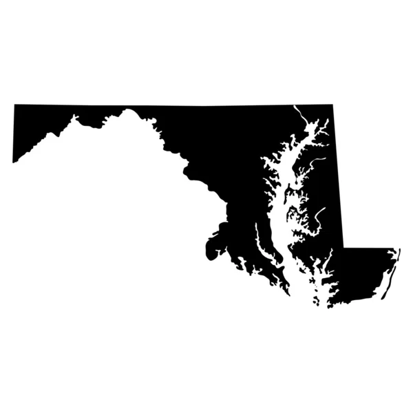
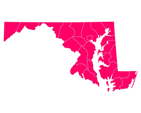
Stock image Maryland Region

stock vector Accurate map of Maryland

Accurate Map Of Maryland

Vector, 0.66MB, 5000 × 4000 eps
stock vector map of the U.S. state of Maryland

Map Of The U.S. State Of Maryland

Vector, 0.71MB, 5000 × 5000 eps
stock image State of Maryland maps

State Of Maryland Maps

Image, 1.31MB, 4300 × 2800 jpg
stock vector Accurate map of Maryland

Accurate Map Of Maryland

Vector, 0.65MB, 5000 × 4000 eps
stock vector Accurate map of Maryland

Accurate Map Of Maryland

Vector, 0.66MB, 5000 × 4000 eps
stock vector Accurate map of Maryland

Accurate Map Of Maryland

Vector, 0.65MB, 5000 × 4000 eps
stock vector Accurate map of Maryland

Accurate Map Of Maryland

Vector, 0.64MB, 5000 × 4000 eps
stock vector maryland

Maryland

Vector, 2.87MB, 5000 × 4000 eps
stock image Large group of people forming Maryland flag map in The United States of America in social media and community concept on white background. 3d sign symbol of crowd illustration from above

Large Group Of People Forming Maryland Flag Map In The United States Of America In Social Media And Community Concept On White Background. 3d Sign Symbol Of Crowd Illustration From Above

Image, 9.79MB, 5400 × 3343 jpg
stock image Flag of Maryland, USA

Flag Of Maryland, USA

Image, 14.8MB, 5900 × 3571 jpg
stock image Waving Flag of Baltimore County, Maryland, USA

Waving Flag Of Baltimore County, Maryland, USA

Image, 9.18MB, 5184 × 3456 jpg
stock image Flag of Maryland is a state of United States. 3d illustration

Flag Of Maryland Is A State Of United States. 3d Illustration

Image, 8.04MB, 4288 × 2848 jpg
stock vector Set of separated American states. Divided USA map. All the countries are named in the layer panel

Set Of Separated American States. Divided USA Map. All The Countries Are Named In The Layer Panel

Vector, 0.57MB, 6000 × 3200 eps
stock image Flag of Maryland (USA)

Flag Of Maryland (USA)

Image, 23.38MB, 6500 × 6500 jpg
stock image Flag of Maryland (USA)

Flag Of Maryland (USA)

Image, 10.44MB, 6000 × 3500 jpg
stock image Maryland (USA) flag waving on the wind

Maryland (USA) Flag Waving On The Wind

Image, 5.89MB, 4900 × 3361 jpg
stock vector Baltimore City ( United States cities, United States of America, usa city) map vector illustration, scribble sketch City of Baltimore map

Baltimore City ( United States Cities, United States Of America, Usa City) Map Vector Illustration, Scribble Sketch City Of Baltimore Map

Vector, 0.56MB, 7087 × 4726 eps
stock image Church on the Hill in Brunswick Maryland USA

Church On The Hill In Brunswick Maryland USA

Image, 17.68MB, 6016 × 4016 jpg
stock image Flag of Baltimore, Maryland, painted on brick wall

Flag Of Baltimore, Maryland, Painted On Brick Wall

Image, 17.34MB, 5185 × 3456 jpg
stock image Flag of Maryland (USA)

Flag Of Maryland (USA)

Image, 2.36MB, 3618 × 4434 jpg
stock vector Map of Dorchester in Maryland

Map Of Dorchester In Maryland

Vector, 0.25MB, 5000 × 4000 eps
stock vector Detailed vintage map of United States of America with names of 5

Detailed Vintage Map Of United States Of America With Names Of 5

Vector, 25.88MB, 7296 × 4104 eps
stock image Maryland (USA) flag waving on the wind

Maryland (USA) Flag Waving On The Wind

Image, 1.88MB, 2822 × 4200 jpg
stock image Maryland (USA) flag waving on the wind

Maryland (USA) Flag Waving On The Wind

Image, 7.96MB, 6000 × 4094 jpg
stock vector Queen Annes County, Maryland (U.S. county, United States of America, USA, U.S., US) map vector illustration, scribble sketch Queen Anne's map

Queen Annes County, Maryland (U.S. County, United States Of America, USA, U.S., US) Map Vector Illustration, Scribble Sketch Queen Anne's Map

Vector, 1.2MB, 7087 × 4726 eps
stock vector Baltimore Maryland city map USA labelled black illustration

Baltimore Maryland City Map USA Labelled Black Illustration

Vector, 7.78MB, 5000 × 5867 eps
stock vector Map of Talbot in Maryland

Map Of Talbot In Maryland

Vector, 0.25MB, 5000 × 4000 eps
stock vector Frederick County, Maryland (U.S. county, United States of America, USA, U.S., US) map vector illustration, scribble sketch Frederick map

Frederick County, Maryland (U.S. County, United States Of America, USA, U.S., US) Map Vector Illustration, Scribble Sketch Frederick Map

Vector, 0.69MB, 7087 × 4726 eps
stock vector map of the city of Baltimore, Maryland, USA

Map Of The City Of Baltimore, Maryland, USA

Vector, 13.07MB, 4759 × 6655 eps
stock vector Flag of Baltimore, Maryland, USA. Vector Format

Flag Of Baltimore, Maryland, USA. Vector Format

Vector, 6.08MB, 8254 × 5502 eps
stock vector Kent County, Maryland (U.S. county, United States of America, USA, U.S., US) map vector illustration, scribble sketch Kent map

Kent County, Maryland (U.S. County, United States Of America, USA, U.S., US) Map Vector Illustration, Scribble Sketch Kent Map

Vector, 0.99MB, 7087 × 4726 eps
stock vector Map of America. United States Political map. US blueprint with the titles of states and regions. All countries are named in the layer panel

Map Of America. United States Political Map. US Blueprint With The Titles Of States And Regions. All Countries Are Named In The Layer Panel

Vector, 2.06MB, 8192 × 4690 eps
stock vector Modern City Map - Baltimore Maryland city of the USA with neighborhoods and titles outline map

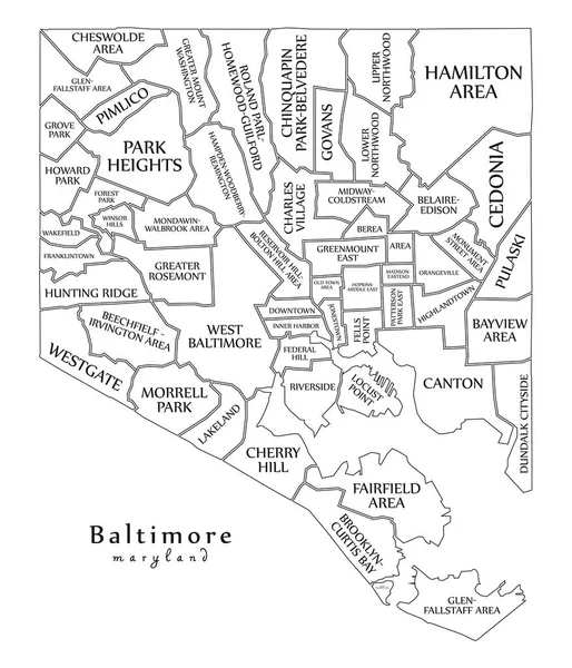
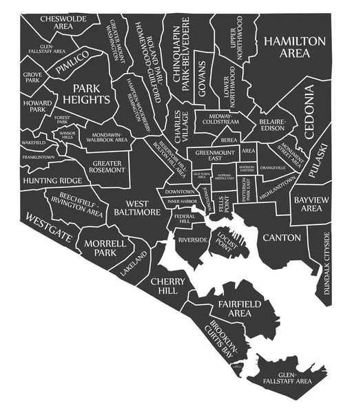
Modern City Map - Baltimore Maryland City Of The USA With Neighborhoods And Titles Outline Map

Vector, 9.7MB, 5000 × 5829 eps
stock vector silhouette map of the city of Baltimore in Maryland

Silhouette Map Of The City Of Baltimore In Maryland

Vector, 0.13MB, 5000 × 3000 eps
stock vector flag and silhouette of the American state of Maryland vector illustration

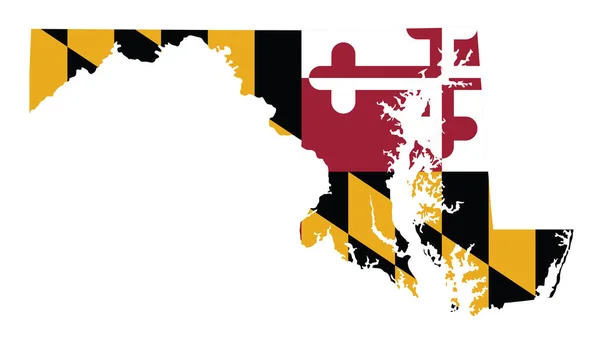
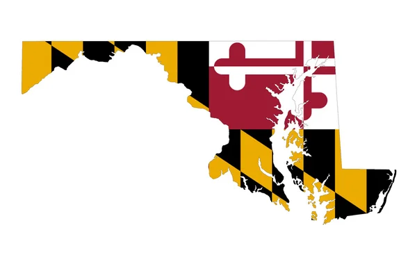
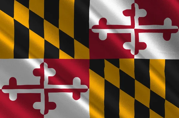
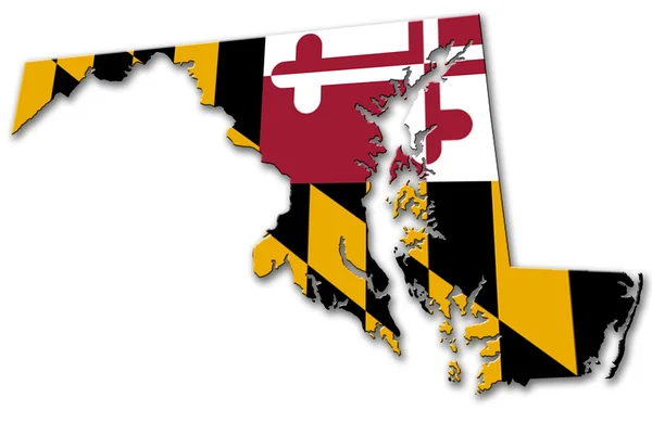
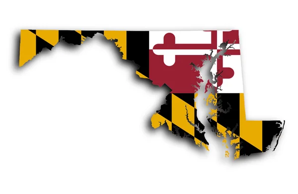
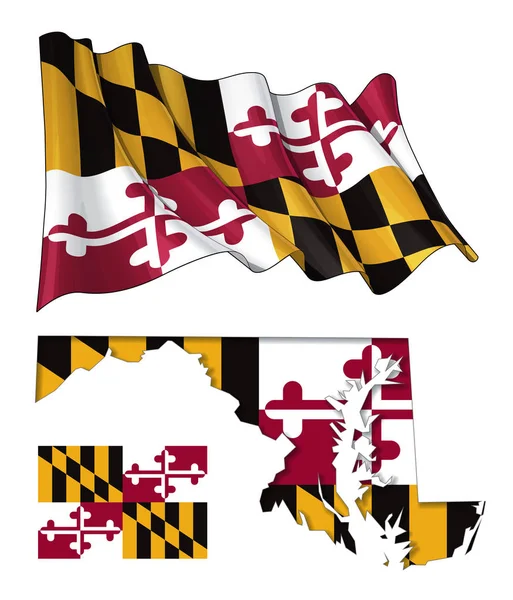
Flag And Silhouette Of The American State Of Maryland Vector Illustration

Vector, 5.07MB, 7841 × 4520 eps
stock image Maryland

Maryland

Image, 1.57MB, 4300 × 2800 jpg
stock vector Vector Flat Map of Maryland State with Caption

Vector Flat Map Of Maryland State With Caption

Vector, 0.07MB, 5708 × 3400 eps
stock vector Set of Maryland state with flag america and map pointer

Set Of Maryland State With Flag America And Map Pointer

Vector, 1.26MB, 5000 × 5000 eps
stock vector road map of the US American State of Delaware

Road Map Of The US American State Of Delaware

Vector, 1.37MB, 3100 × 6714 eps
stock vector 7 of 50 states of the United States with a name, nickname, and d

7 Of 50 States Of The United States With A Name, Nickname, And D

Vector, 1.11MB, 7311 × 4112 eps
stock image maryland coat of arms

Maryland Coat Of Arms

Image, 11.13MB, 4576 × 4531 jpg
stock image Map of Maryland

Map Of Maryland

Image, 1.35MB, 4000 × 2620 jpg
stock vector State of Maryland - Map Waving Flat Flag

State Of Maryland - Map Waving Flat Flag

Vector, 6.11MB, 4610 × 5391 eps
stock vector map of the U.S. state  Maryland

Map Of The U.S. State Maryland

Vector, 1.84MB, 5000 × 5000 eps
stock vector Flag of Montgomery County, Maryland, USA. Vector Format

Flag Of Montgomery County, Maryland, USA. Vector Format

Vector, 5.82MB, 8252 × 5500 eps
stock vector Map of Maryland State and flag in a circle.

Map Of Maryland State And Flag In A Circle.

Vector, 2.4MB, 5000 × 5000 eps
stock vector Maryland state outline administrative and political vector map in color

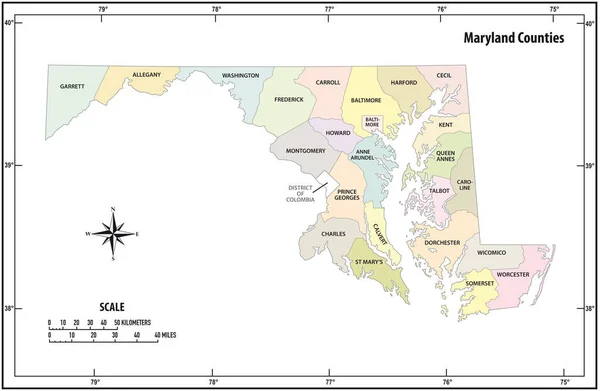
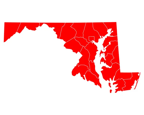
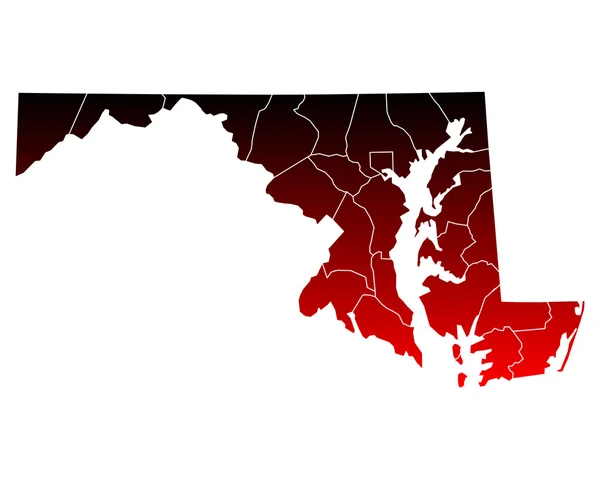
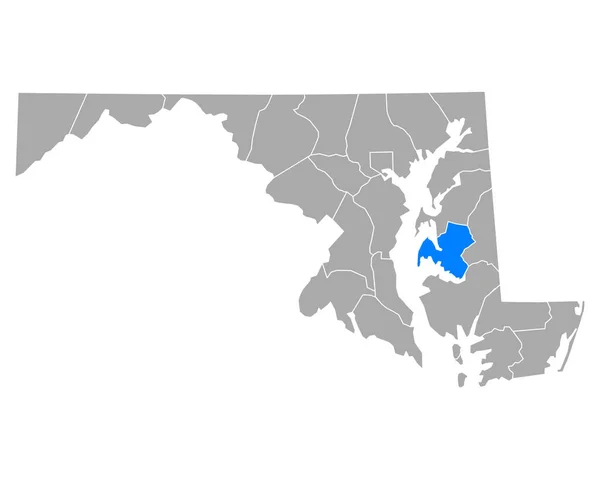
Maryland State Outline Administrative And Political Vector Map In Color

Vector, 0.98MB, 4745 × 3100 eps
stock image Flag of Ocean City, Maryland, painted on old wood plank background

Flag Of Ocean City, Maryland, Painted On Old Wood Plank Background

Image, 21.91MB, 5184 × 3456 jpg
stock vector Black United States Of America map. US background template. Map of America with separated countries and interstate borders. All states and regions are named in the layer panel.

Black United States Of America Map. US Background Template. Map Of America With Separated Countries And Interstate Borders. All States And Regions Are Named In The Layer Panel.

Vector, 1.41MB, 5000 × 3200 eps
stock vector Anne Arundel County, Maryland (U.S. county, United States of America, USA, U.S., US) map vector illustration, scribble sketch Anne Arundel map

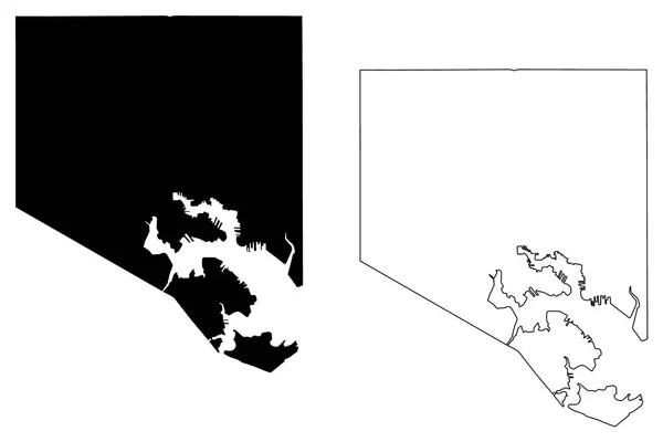
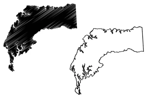
Anne Arundel County, Maryland (U.S. County, United States Of America, USA, U.S., US) Map Vector Illustration, Scribble Sketch Anne Arundel Map

Vector, 1.16MB, 7087 × 4726 eps
Page 1 >> Next