
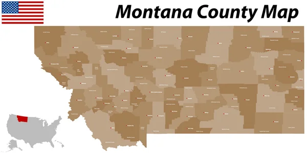
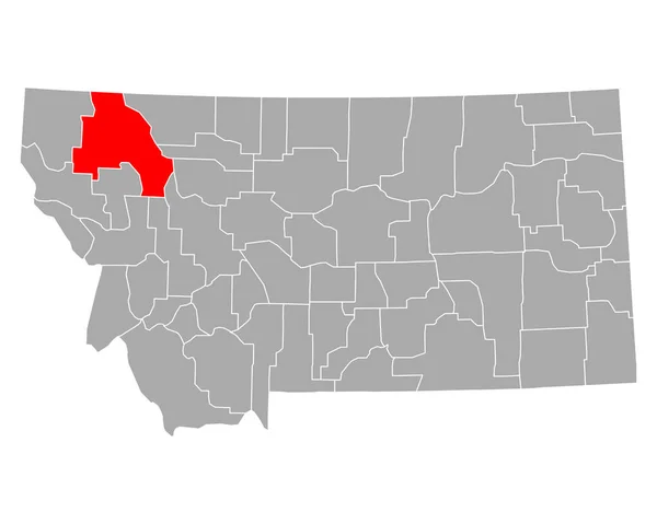
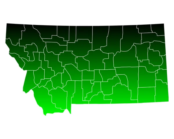
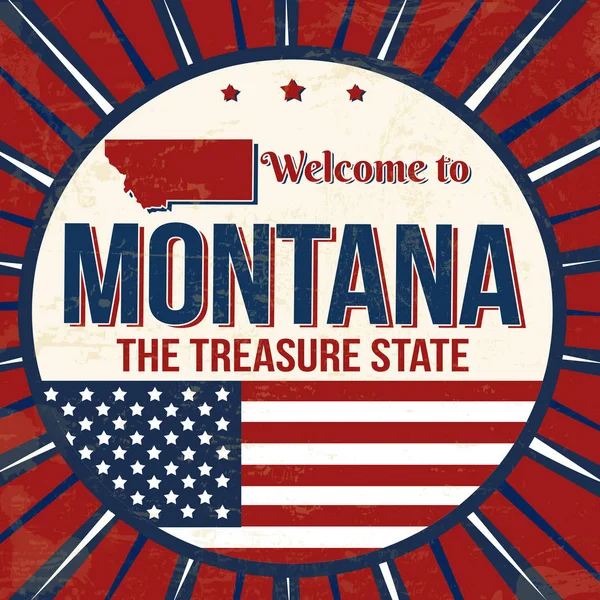
Stock image Montana County Map

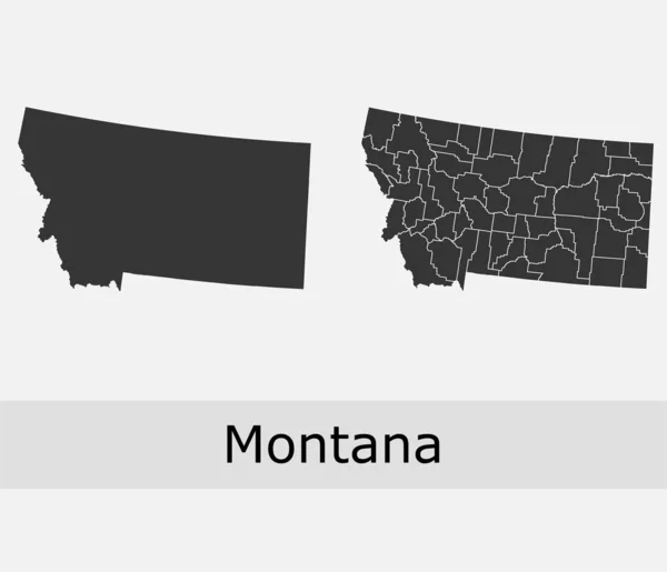
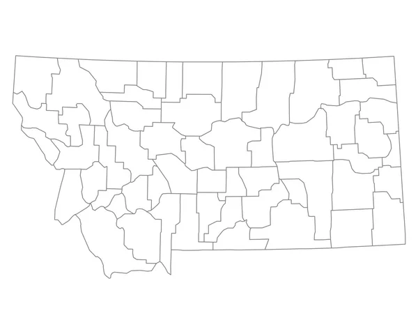
Montana State Outline Administrative And Political Map In Black And White
Vector, 0.83MB, 5274 × 4173 eps
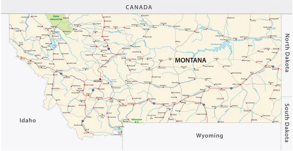


Detailed Map Of Montana State,in Vector Format,with County Borders,roads And Major Cities
Vector, 3.34MB, 7498 × 4369 eps


Highly Detailed Vector Silhouettes Of US State Maps, Division United States Into Counties, Political And Geographic Subdivisions Of A States, Mountain - Nevada, Utah, Arizona - Set 15 Of 17
Vector, 6.16MB, 9608 × 4501 eps
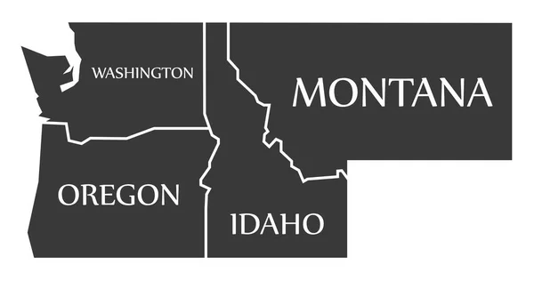


Vector Idaho Map Silhouette. Isolated Vector Illustration. Black On White Background.
Vector, 0.61MB, 5156 × 4849 eps

North Dakota Map, United States (USA), Americas. Filled And Outline Map Designs. Vector Illustration
Vector, 0.31MB, 6001 × 3001 eps
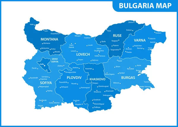
The Detailed Map Of Bulgaria With Regions Or States And Cities, Capital. Administrative Division
Vector, 0.95MB, 7000 × 5000 eps
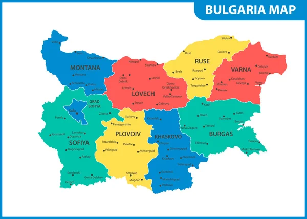
The Detailed Map Of Bulgaria With Regions Or States And Cities, Capital. Administrative Division
Vector, 0.94MB, 7000 × 5000 eps

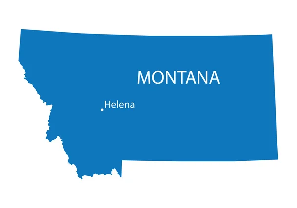
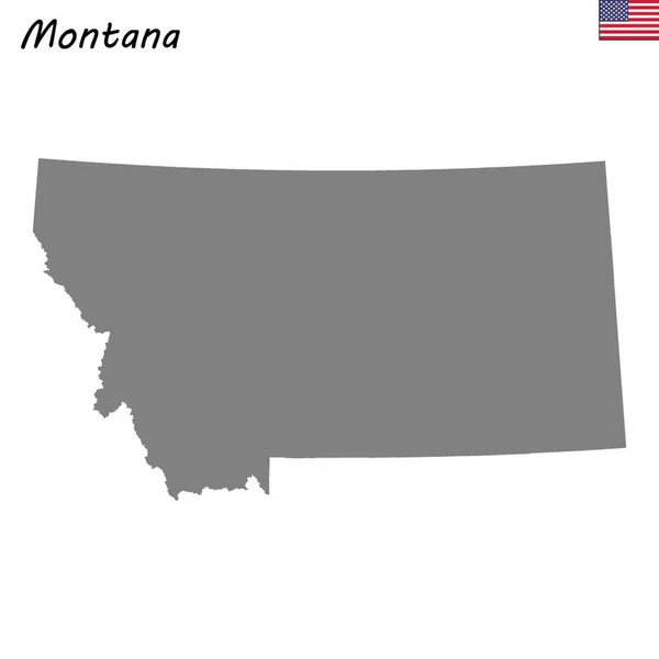
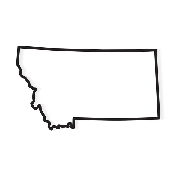
Montana State Map. US State Map. Montana Outline Symbol. Vector Illustration
Vector, 0.32MB, 5001 × 4000 eps

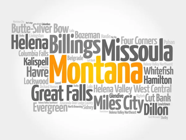
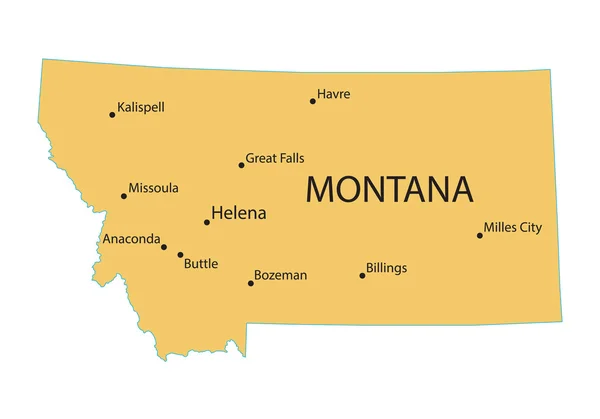
List Of Cities In Montana USA State, Map Silhouette Word Cloud, Map Concept Background
Image, 6.8MB, 9656 × 7296 jpg

Helena, Montana - April 8, 2020: State Capitol Of Montana Map And Direction Sign For The Capitol Square. Directions And Details Of Locations On The Sidewalk Path For Visitors And Tourists.
Image, 12.65MB, 6016 × 4016 jpg

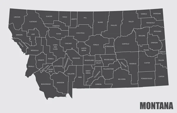
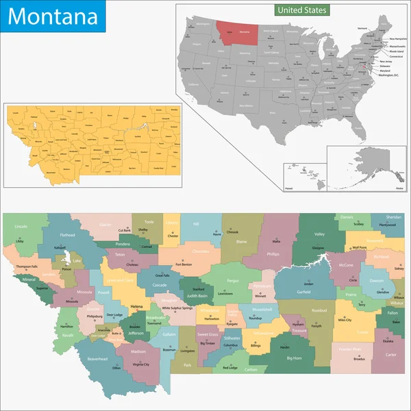
Montana, U.S. State, Subdivided Into 56 Counties, Political Map With Borders And County Names. State In The Mountain West Region Of The United States, Nicknamed Big Sky Country, And Treasure State.
Vector, 2.32MB, 9000 × 5355 eps

Set 5 Of 5 Division United States Into Counties, Political And Geographic Subdivisions Of A States, Highly Detailed Vector Maps With Names And Territory Nicknames
Vector, 5.97MB, 9585 × 4010 eps

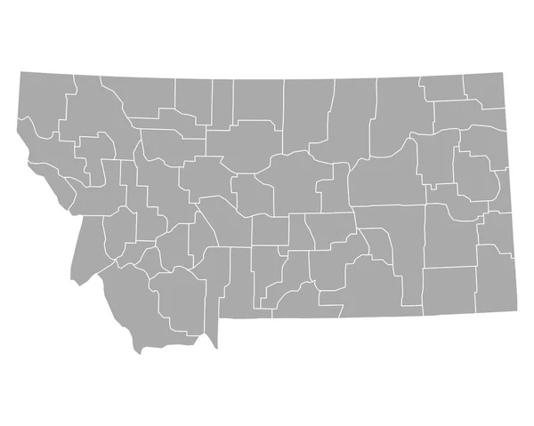
Montana, U.S. State, Subdivided Into 56 Counties, Gray Political Map With Borders And County Names. State In The Mountain West Region Of United States, Nicknamed Big Sky Country, And Treasure State.
Vector, 2.14MB, 9000 × 5562 eps

Vector Set 9 Of 10 Highly Detailed Silhouettes Of US State Maps, Divided Into Counties With Names And Territory Nicknames
Vector, 3.98MB, 9585 × 3348 eps

Montana, U.S. State, Multi Colored Political Map With Borders, County Names And Capital Helena. State In The Mountain West Region Of The United States, Subdivided Into 56 Counties. Big Sky Country
Vector, 2.16MB, 9000 × 5562 eps
Page 1 >> Next