photo free
Home Images Vectors Videos

Stock image Political Map Of Usa page 2

stock vector Map of the USA. Image with clipping path and name of states. State mark. Rhode Island. Vector illustration.

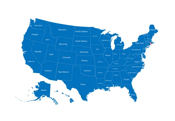
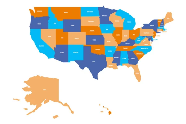
Map Of The USA. Image With Clipping Path And Name Of States. State Mark. Rhode Island. Vector Illustration.

Vector, 2.9MB, 7193 × 5000 eps
stock vector Hand drawn US map vector illustration

Hand Drawn US Map Vector Illustration

Vector, 4.64MB, 4000 × 4000 eps
stock vector Political world blue map and vector illustration

Political World Blue Map And Vector Illustration

Vector, 2.35MB, 4861 × 3668 eps
stock vector World Map in Typography word cloud

World Map In Typography Word Cloud

Vector, 4.12MB, 5000 × 3750 eps
stock vector Political map of the world

Political Map Of The World

Vector, 8.65MB, 7335 × 3765 eps
stock vector soft tints of blue worldwide map of local time zones

Soft Tints Of Blue Worldwide Map Of Local Time Zones

Vector, 13.69MB, 7269 × 4478 eps
stock vector High Detail World map

High Detail World Map

Vector, 19.44MB, 5001 × 2526 eps
stock vector Detailed Political World map

Detailed Political World Map

Vector, 9.15MB, 8192 × 4191 eps
stock vector colored world map with country names

Colored World Map With Country Names

Vector, 14.27MB, 10417 × 7728 eps
stock vector World map

World Map

Vector, 20.87MB, 7528 × 5762 eps
stock vector Map of the United States of America

Map Of The United States Of America

Vector, 2.33MB, 5000 × 3123 ai
stock vector political world map on soft blue background

Political World Map On Soft Blue Background

Vector, 11.17MB, 7278 × 4868 eps
stock vector Infographic vector illustration with Map of the World

Infographic Vector Illustration With Map Of The World

Vector, 12.76MB, 6250 × 5297 eps
stock vector soft blue gradient political world map

Soft Blue Gradient Political World Map

Vector, 14.72MB, 7292 × 4854 eps
stock vector vector color worldwide map of local time zones

Vector Color Worldwide Map Of Local Time Zones

Vector, 13.57MB, 7292 × 4500 eps
stock vector US map. Vector map of USA, United States of America

US Map. Vector Map Of USA, United States Of America

Vector, 0.51MB, 6000 × 4000 eps
stock vector stereoscopic effect United States of America isolated map. vector USA territory political map. geographic banner template. three-dimensional illusion US maps.

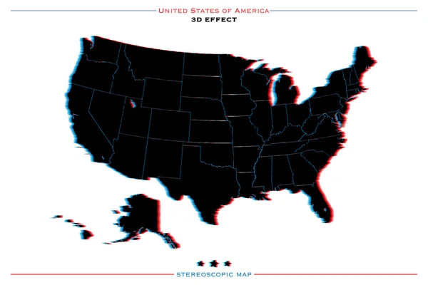
Stereoscopic Effect United States Of America Isolated Map. Vector USA Territory Political Map. Geographic Banner Template. Three-dimensional Illusion US Maps.

Vector, 2.13MB, 6000 × 4000 eps
stock vector vector high detailed world political map with countries and oceans names and location\navigation icons. All layers detached and labeled. Vector

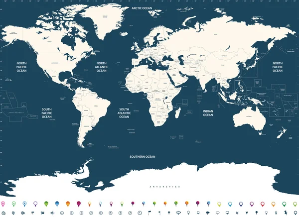
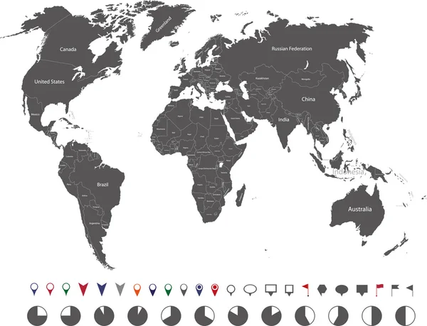
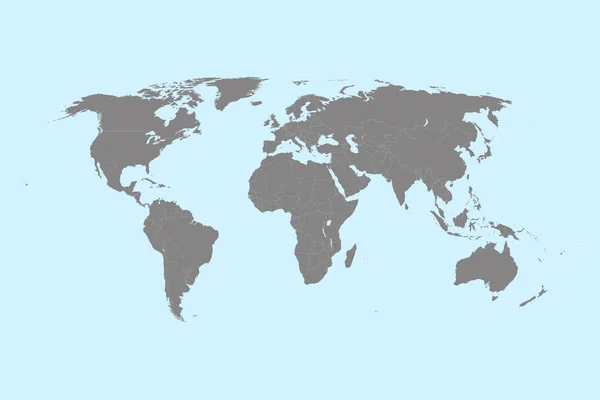
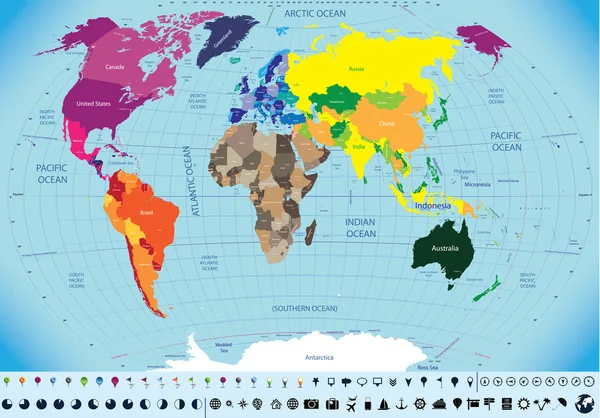
Vector High Detailed World Political Map With Countries And Oceans Names And Location\navigation Icons. All Layers Detached And Labeled. Vector

Vector, 12.12MB, 10417 × 7579 eps
stock vector Large detailed political World Map and water objects

Large Detailed Political World Map And Water Objects

Vector, 17.17MB, 8192 × 5349 eps
stock vector gray map of the world, countries

Gray Map Of The World, Countries

Vector, 4.45MB, 7500 × 5000 eps
stock vector Political world map implement in the tints of blue

Political World Map Implement In The Tints Of Blue

Vector, 11.71MB, 7292 × 4736 eps
stock vector political map of the world with all continents separated by color

Political Map Of The World With All Continents Separated By Color

Vector, 10.87MB, 7292 × 4813 eps
stock vector vector high detailed political world map

Vector High Detailed Political World Map

Vector, 14.47MB, 7292 × 3709 eps
stock vector Americas simple outline blank map

Americas Simple Outline Blank Map

Vector, 2.98MB, 6000 × 8000 eps
stock vector Highly detailed political World map with labeling

Highly Detailed Political World Map With Labeling

Vector, 17.64MB, 8192 × 5817 eps
stock vector political map of the world

Political Map Of The World

Vector, 1.57MB, 4724 × 3465 eps
stock vector Political map of continents

Political Map Of Continents

Vector, 4.3MB, 3695 × 2247 eps
stock vector political world map in grey scales

Political World Map In Grey Scales

Vector, 10.14MB, 7295 × 4736 eps
stock vector Political world map

Political World Map

Vector, 5.75MB, 2923 × 1900 eps
stock vector Colored political World Map with round flat icons and globes iso

Colored Political World Map With Round Flat Icons And Globes Iso

Vector, 12.63MB, 8192 × 5635 eps
stock vector World map with names of sovereign countries and larger dependent territories. Simplified multicolored vector map on blue background

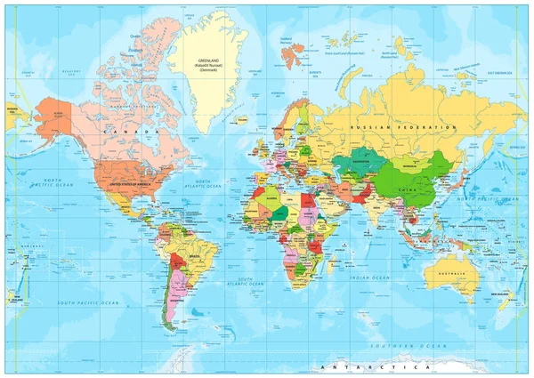
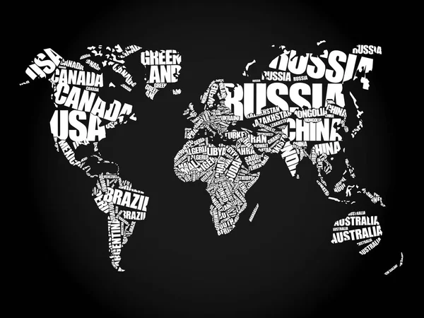
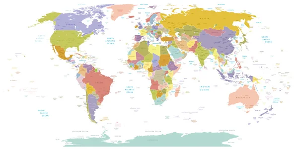
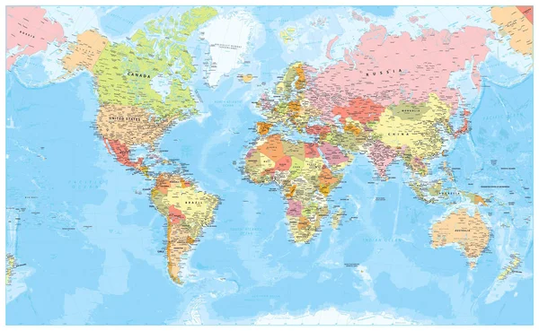
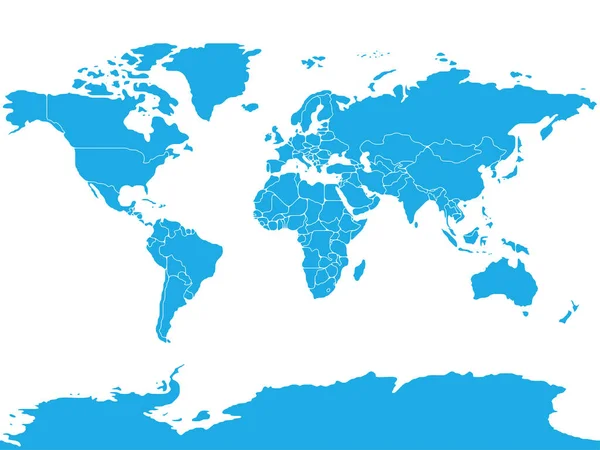
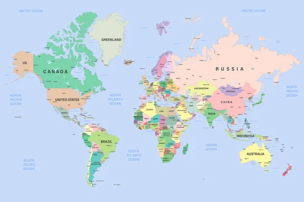
World Map With Names Of Sovereign Countries And Larger Dependent Territories. Simplified Multicolored Vector Map On Blue Background

Vector, 5.86MB, 6000 × 4485 eps
stock vector Political World Map - borders, countries, roads and cities - Detailed World Map vector illustration - All elements are separated in editable layers clearly labeled - Vector

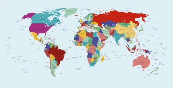
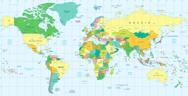
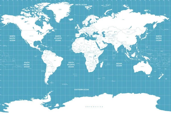
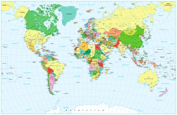
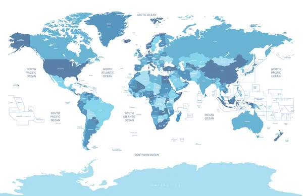
Political World Map - Borders, Countries, Roads And Cities - Detailed World Map Vector Illustration - All Elements Are Separated In Editable Layers Clearly Labeled - Vector

Vector, 68.13MB, 6570 × 4045 eps
stock vector United States of America, gray political map. Fifty single states with their own geographic territories and borders, bound together in a union and federal government. Labeled with USPS abbreviations.

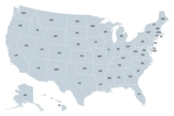
United States Of America, Gray Political Map. Fifty Single States With Their Own Geographic Territories And Borders, Bound Together In A Union And Federal Government. Labeled With USPS Abbreviations.

Vector, 2.92MB, 9000 × 6000 eps
stock vector United States of America marked by blue in grey World political map. Vector illustration

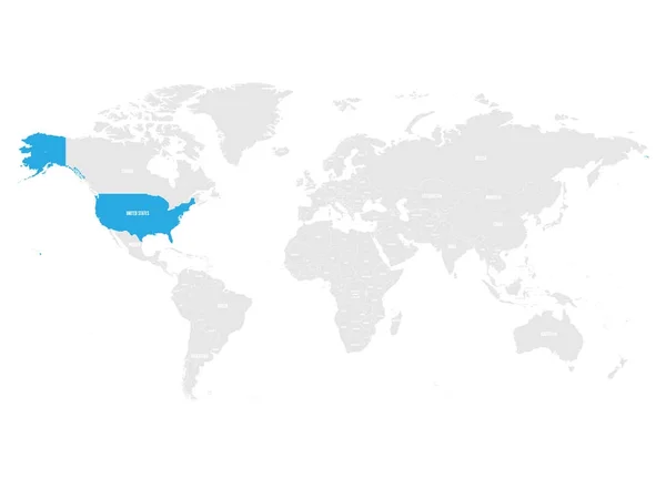
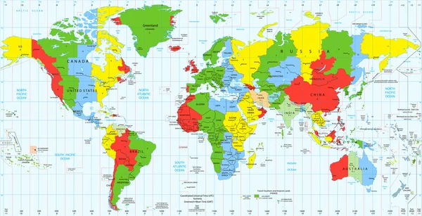
United States Of America Marked By Blue In Grey World Political Map. Vector Illustration

Vector, 5.75MB, 6000 × 4500 eps
stock vector Political world map and geo tag pin pointers marker vector illustration

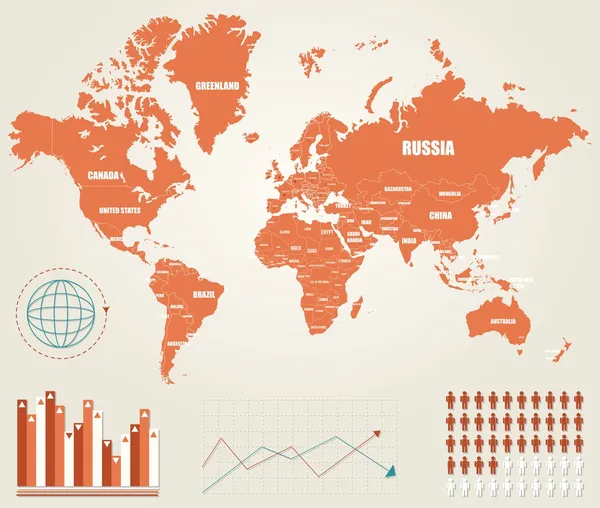
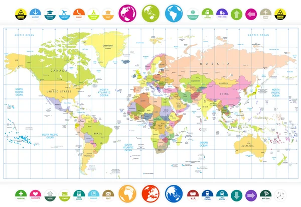
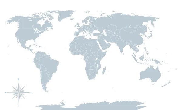
Political World Map And Geo Tag Pin Pointers Marker Vector Illustration

Vector, 9.27MB, 5500 × 5500 eps
stock vector Map of the world

Map Of The World

Vector, 28.82MB, 9383 × 6540 eps
stock vector Simplified smooth border World map

Simplified Smooth Border World Map

Vector, 1.36MB, 8000 × 6000 eps
stock vector vector outline of political world map

Vector Outline Of Political World Map

Vector, 7.67MB, 7292 × 3684 eps
stock image USA map outline created from many election voting stickers or badges

USA Map Outline Created From Many Election Voting Stickers Or Badges

Image, 4.54MB, 5500 × 3493 jpg
stock vector World Map Vintage Political - Vector Detailed Illustration

World Map Vintage Political - Vector Detailed Illustration

Vector, 48.45MB, 6003 × 4043 eps
stock vector Global political map of the world. Highly detailed map with borders, countries and cities. Each country is on a separate layer and is editable.

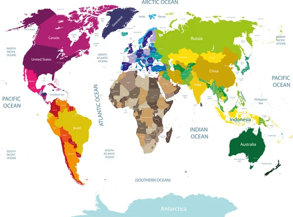
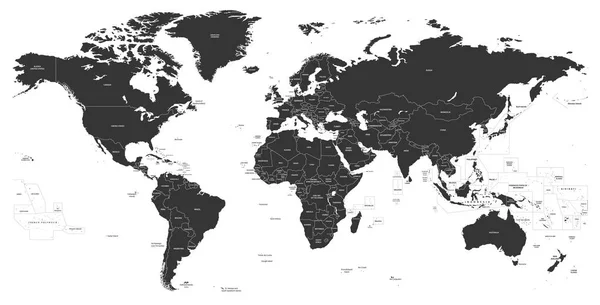
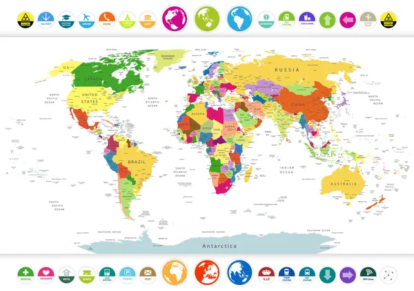
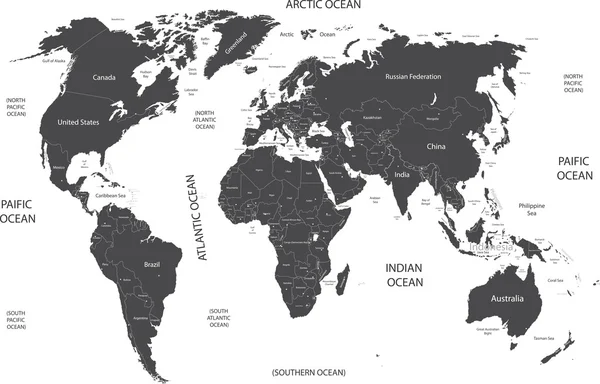
Global Political Map Of The World. Highly Detailed Map With Borders, Countries And Cities. Each Country Is On A Separate Layer And Is Editable.

Vector, 31.46MB, 6000 × 4000 eps
stock vector Political World Map with flat icons and globes

Political World Map With Flat Icons And Globes

Vector, 10.83MB, 8188 × 5745 eps
stock vector Political world map, grey, with white borders.

Political World Map, Grey, With White Borders.

Vector, 2.43MB, 6144 × 3744 eps
stock vector Political map of world with Antarctica. Countries in four different colors without borders on dark grey background. White labels with states and significant dependent territories names. High detail

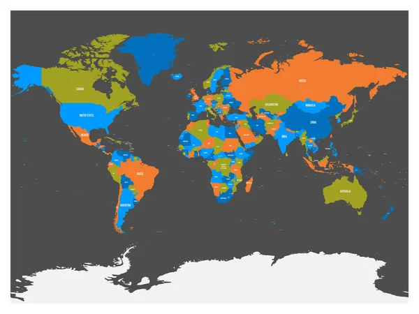
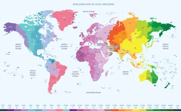
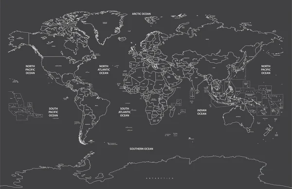
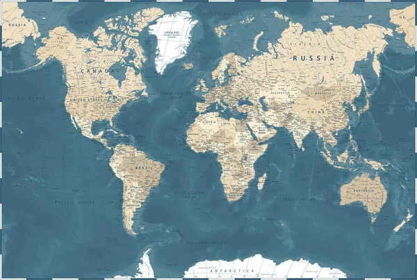
Political Map Of World With Antarctica. Countries In Four Different Colors Without Borders On Dark Grey Background. White Labels With States And Significant Dependent Territories Names. High Detail

Vector, 4.71MB, 6000 × 4500 eps
stock vector political map of the world

Political Map Of The World

Vector, 1.65MB, 4724 × 3465 eps
stock vector political world map contour on soft black background

Political World Map Contour On Soft Black Background

Vector, 10.09MB, 7292 × 4750 eps
stock vector Detailed World map standard time zones

Detailed World Map Standard Time Zones

Vector, 9.25MB, 8192 × 4191 eps
stock vector world map with geographical objects names

World Map With Geographical Objects Names

Vector, 14.99MB, 7569 × 4851 eps
stock vector vector silhouette of the world map

Vector Silhouette Of The World Map

Vector, 7.29MB, 7000 × 3563 eps
stock vector Political Colored World Map Vector

Political Colored World Map Vector

Vector, 13.2MB, 8800 × 5675 eps
Previous << Page 2 >> Next