
Stock image Political Map Of Usa page 3


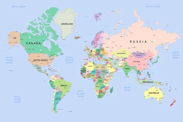
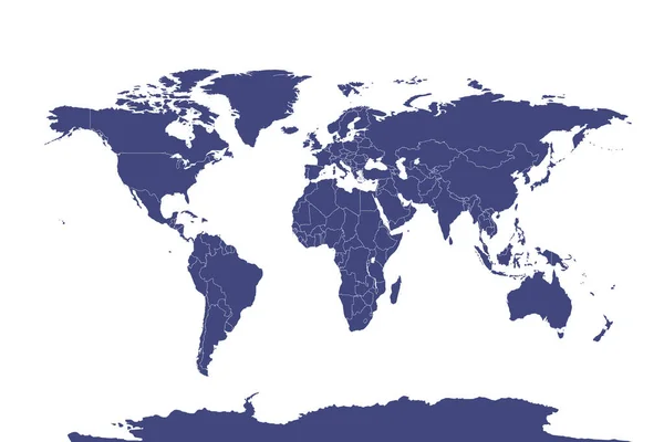
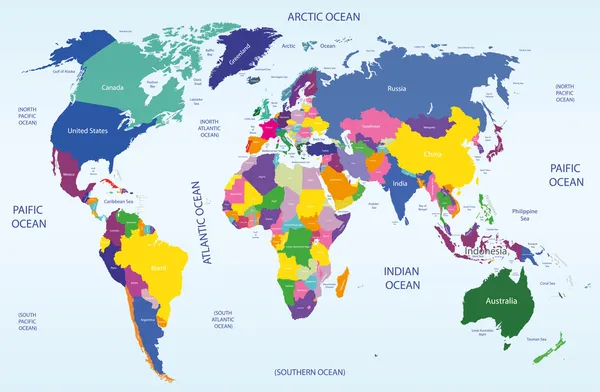
World Map With Names Of Sovereign Countries And Larger Dependent Territories. Simplified Multicolored Vector Map On Blue Background
Vector, 5.86MB, 6000 × 4485 eps
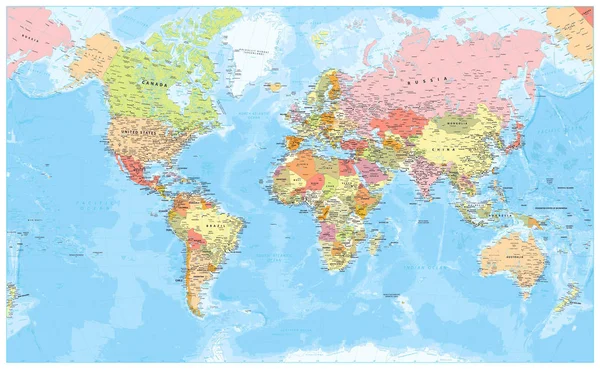
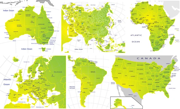
Political World Map - Borders, Countries, Roads And Cities - Detailed World Map Vector Illustration - All Elements Are Separated In Editable Layers Clearly Labeled - Vector
Vector, 68.13MB, 6570 × 4045 eps
United States Of America, Gray Political Map. Fifty Single States With Their Own Geographic Territories And Borders, Bound Together In A Union And Federal Government. Labeled With USPS Abbreviations.
Vector, 2.92MB, 9000 × 6000 eps
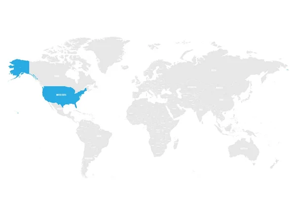
United States Of America Marked By Blue In Grey World Political Map. Vector Illustration
Vector, 5.75MB, 6000 × 4500 eps

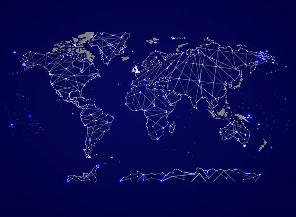
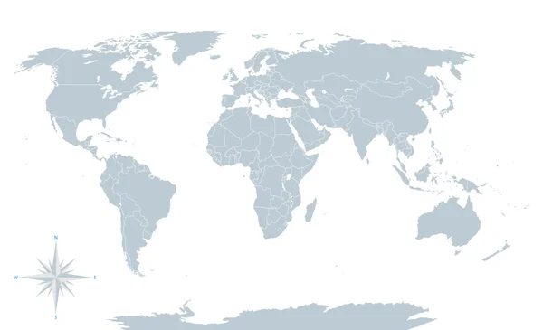
Political World Map And Geo Tag Pin Pointers Marker Vector Illustration
Vector, 9.27MB, 5500 × 5500 eps
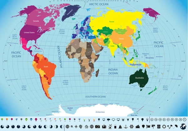


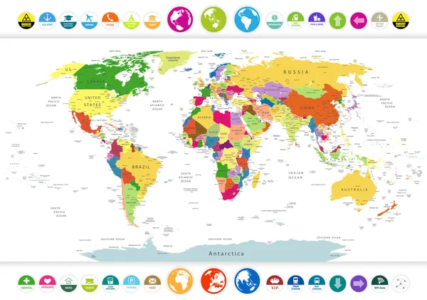
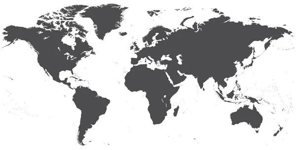
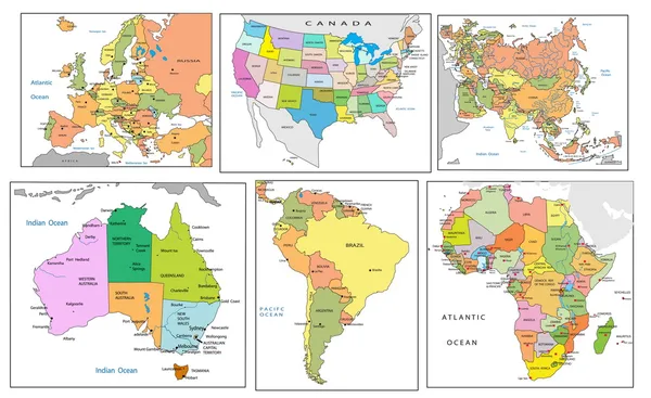
Global Political Map Of The World. Highly Detailed Map With Borders, Countries And Cities. Each Country Is On A Separate Layer And Is Editable.
Vector, 31.46MB, 6000 × 4000 eps
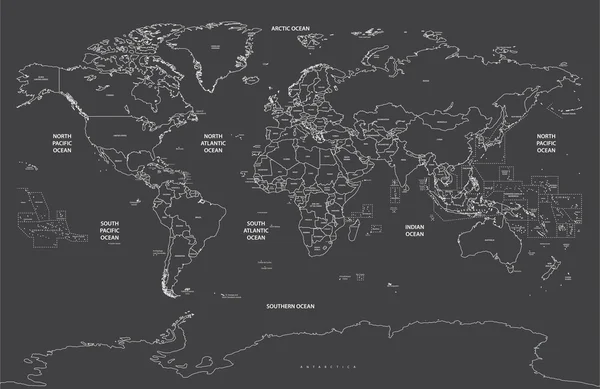
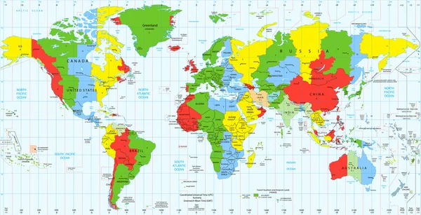
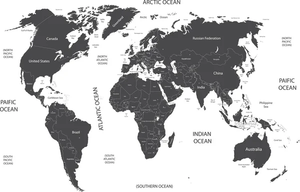
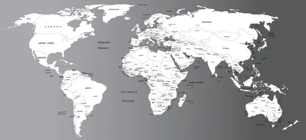
Political Map Of World With Antarctica. Countries In Four Different Colors Without Borders On Dark Grey Background. White Labels With States And Significant Dependent Territories Names. High Detail
Vector, 4.71MB, 6000 × 4500 eps


United States And Russia Highlighted On Political Map Of World. Vector Illustration.
Vector, 5.97MB, 6000 × 4500 eps
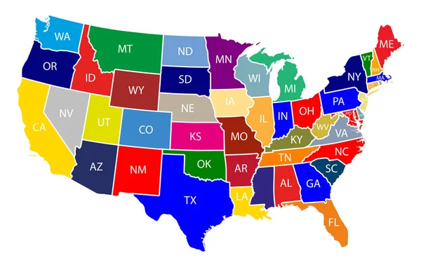
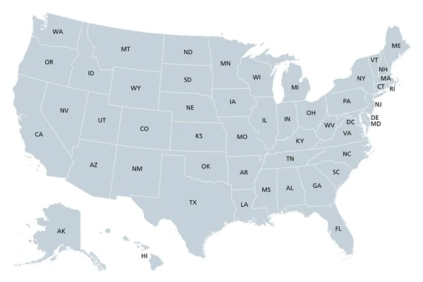
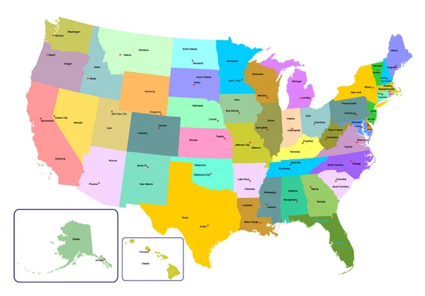
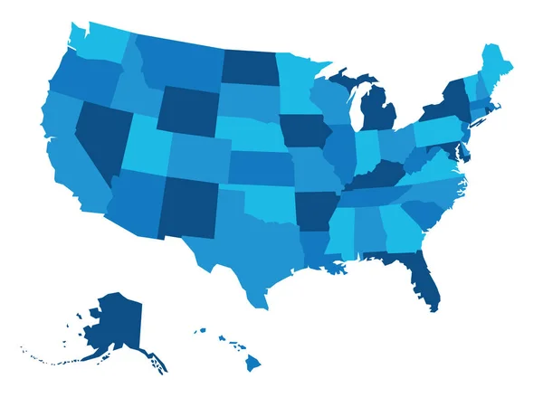
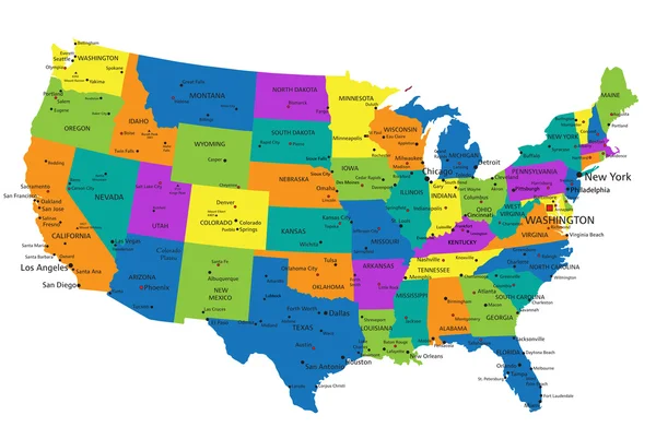
Map Of The United States Of America With Colorful States With Name Illustration On White Background
Vector, 0.68MB, 9167 × 5834 eps
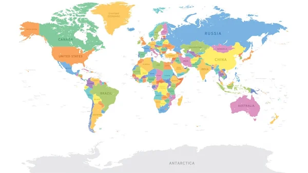

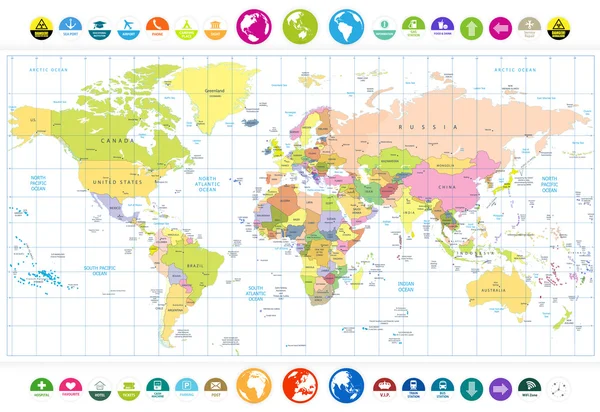
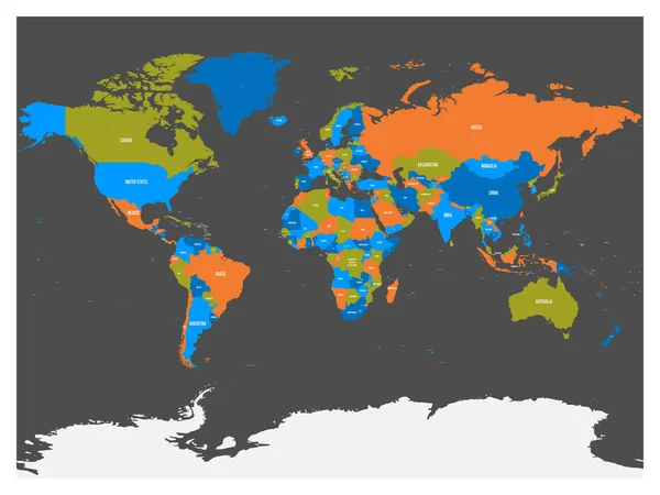
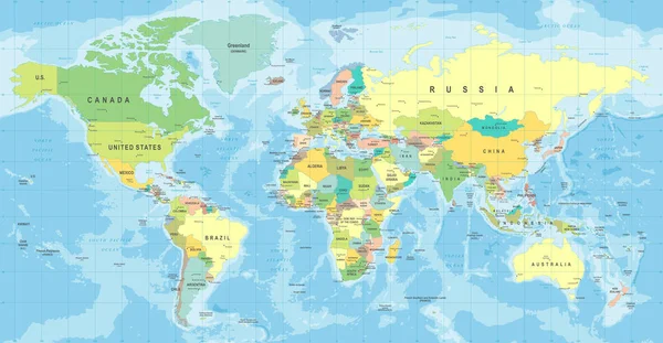
Colorful World Map Countries. High Detail Political Map With Country Names. Vector Illustration.
Vector, 8.47MB, 6000 × 3400 eps
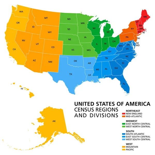
United States, Census Regions And Divisions, Political Map. Region Definition Widely Used For Data Collection And Analysis. The Most Commonly Used Classification System. English. Illustration. Vector.
Vector, 3.89MB, 6000 × 6000 eps
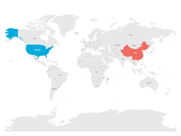
United States And China Highlighted On Political Map Of World. Vector Illustration
Vector, 5.94MB, 6000 × 4500 eps


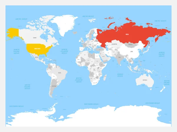
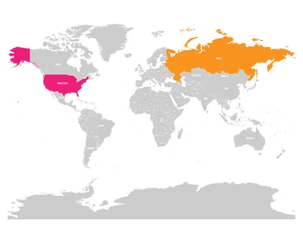
United States And Russia Highlighted On Political Map Of World. Vector Illustration.
Vector, 6.23MB, 6000 × 4500 eps


Previous << Page 3 >> Next