
Stock image Sc Map

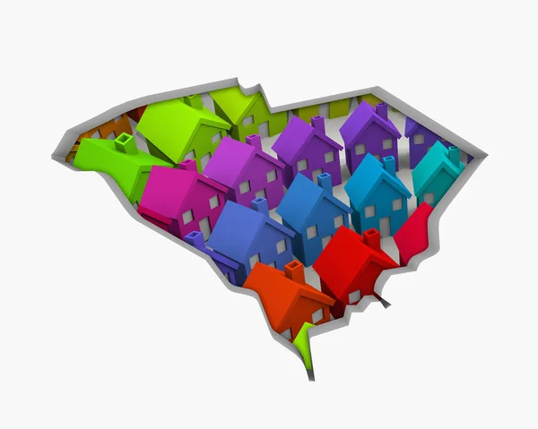
South Carolina SC Homes Homes Map New Real Estate Development 3d Illustration
Image, 2.67MB, 5000 × 4000 jpg
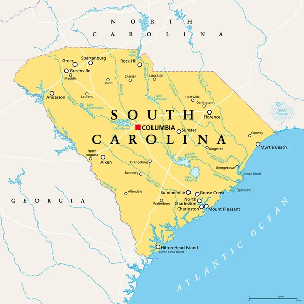
South Carolina, SC, Political Map, With The Capital Columbia, Largest Cities And Borders. State In The Southeastern Region Of The United States Of America. The Palmetto State. Illustration. Vector.
Vector, 4.52MB, 6000 × 6000 eps

Outline Map Of The United States Of America. 50 States Of The USA. US Map With State Borders. Silhouettes Of The USA And Guam, Puerto Rico, US Virgin Islands. Vector Illustration.
Vector, 4.78MB, 5001 × 5001 eps


Vector Mosaic Map Of South Carolina State Of Liquid Tears And Solid Map
Vector, 1.51MB, 6009 × 3000 eps

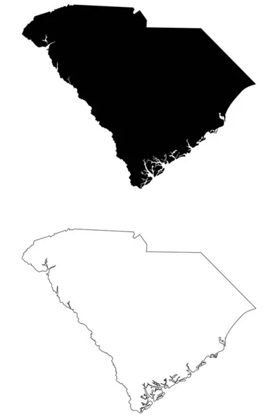
South Carolina SC State Map USA. Black Silhouette And Outline Isolated Maps On A White Background. EPS Vector
Vector, 5.62MB, 8334 × 12501 eps

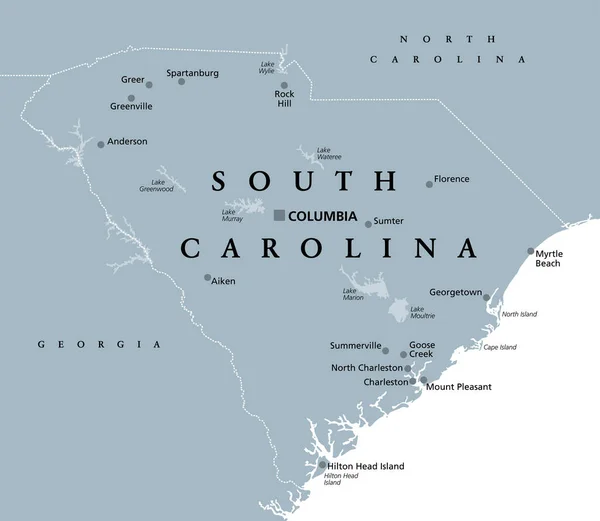
South Carolina, SC, Gray Political Map, With Capital Columbia, Largest Cities And Borders. State In The Southeastern Region Of The United States Of America. The Palmetto State. Illustration. Vector.
Vector, 2.61MB, 6906 × 6000 eps


South Carolina Thin Blue Line Button, South Carolina Map Button With Thin Blue Line Flag Isolated Over White
Image, 1.47MB, 3839 × 3839 jpg

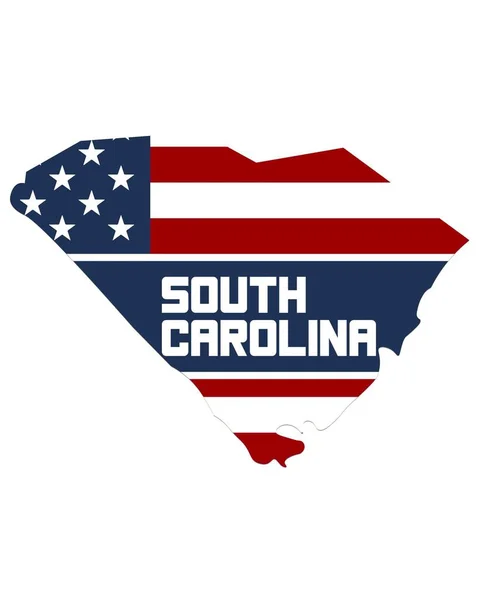
Abstract Square Stamp Or Sign With Silhouette And Name Of US State South Carolina, Vector Illustration
Vector, 0.41MB, 4724 × 4724 ai


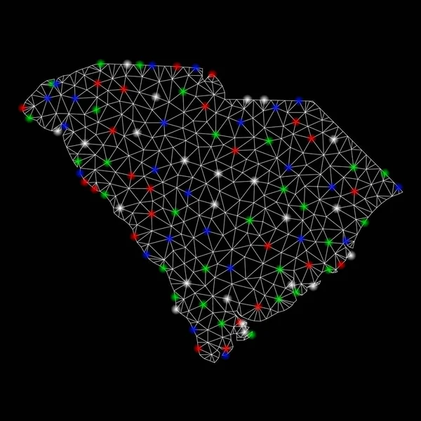
South Carolina State Map Polygonal Mesh And Distress Bicolor Stamp Seal
Vector, 2.05MB, 6798 × 3000 eps


South Carolina Thin Blue Line Highway Sign, South Carolina Map With Thin Blue Line Flag On A Highway Sign With Sky Background
Image, 9.15MB, 5184 × 3456 jpg

Seychelles Flag Is Depicted In Liquid Watercolor Style Isolated On White Background. Careless Paint Shading With Image Of National Flag. Independence Day Banner
Image, 5.69MB, 4928 × 3264 jpg


South Carolina Counties, Political Map With Borders And County Names. State In The Southeastern Region Of The United States, Subdivided Into 46 Counties. Nicknamed The Palmetto State. Illustration
Vector, 3.25MB, 7193 × 6000 eps

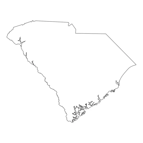
South Carolina US Map. SC USA State Map. Black And White South Carolinian State Border Boundary Line Outline Geography Territory Shape Vector Illustration EPS Clipart
Vector, 5.72MB, 5000 × 4000 eps

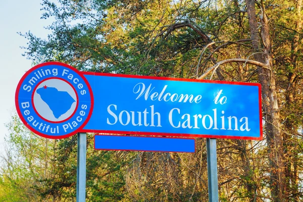
Salem, SC, USA - July 17, 2022: A Welcoming Signboard At The Entry Point Of The Park
Image, 5.44MB, 8256 × 5504 jpg
SC Location Logo Bundle. Letter SC Logo Dual Vector Icons For Recruitment And Navigation
Vector, 5.65MB, 8056 × 4028 eps

The Carolinas Or Carolina, The U.S. States North Carolina And South Carolina, Political Map, With Borders And Capitals Raleigh And Columbia. Bordered By Virginia, Tennessee, Georgia, And The Atlantic.
Vector, 4.05MB, 8806 × 6000 eps


The Carolinas Or Simply Carolina, U.S. States North And South Carolina, Gray Political Map, With Borders And Capitals Raleigh And Columbia. Bordered By Virginia, Tennessee, Georgia, And The Atlantic.
Vector, 3.14MB, 8808 × 6000 eps
SC Location Logo Design For Human Resources, Recruitment, And Navigation - Letter SC Logo With Location Icon For Business And Technology
Vector, 5.75MB, 5556 × 5557 eps

South Carolina Counties, Gray Political Map With Borders And County Names. State In The Southeastern Region Of The United States, Subdivided Into 46 Counties. Nicknamed The Palmetto State. Vector
Vector, 2.76MB, 7200 × 6000 eps
Page 1 >> Next