
Stock image Seismic Area
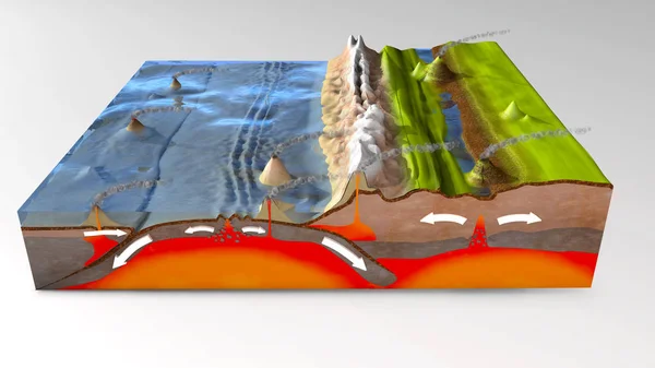
3d Illustration Of A Scientific Ground Cross-section To Explain Subduction And Plate Tectonics
Image, 16.67MB, 10000 × 5625 jpg
Scientific Ground Cross-section To Explain Subduction And Plate Tectonics - 3d Illustration
Image, 19.77MB, 10000 × 5000 jpg
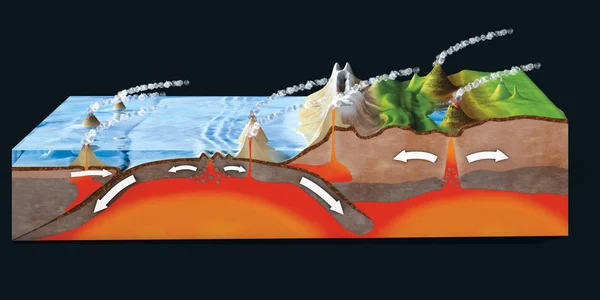
3d Illustration Of A Scientific Ground Cross-section To Explain Subduction And Plate Tectonics
Image, 14.41MB, 10000 × 6000 jpg
Scientific Ground Cross-section To Explain Subduction And Plate Tectonics
Image, 12.78MB, 9800 × 6932 jpg
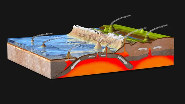
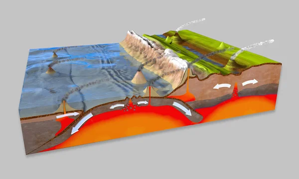
Scientific Ground Cross-section To Explain Subduction And Plate Tectonics - 3d Illustration
Image, 17.16MB, 10000 × 5625 jpg
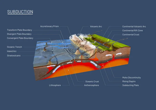
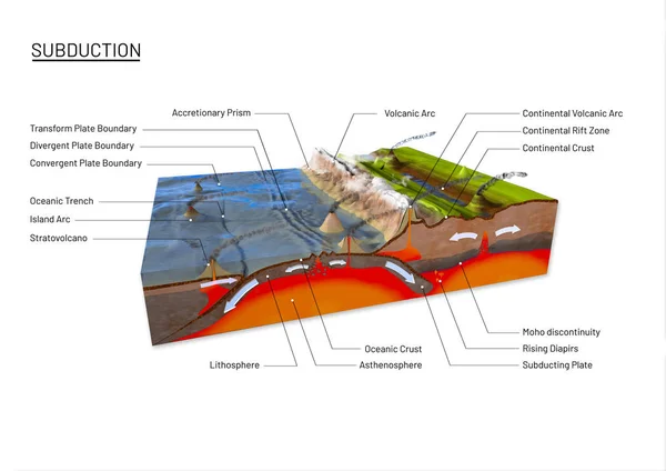
Scientific Ground Cross-section To Explain Subduction And Plate Tectonics
Image, 9.35MB, 9800 × 6932 jpg

South America Tectonic Plate Extruded On The Globe. Topographic Relief Map. 3D Rendering
Image, 3.94MB, 2880 × 1620 jpg

South American Tectonic Plate Enlarged And Extruded The Global Grayscale Elevation Map In The Azimuthal Equidistant Projection With Dashed Plates Borders. 3D Rendering
Image, 2.87MB, 2880 × 1620 jpg

Pacific Tectonic Plate Outlined On The Global Grayscale Elevation Map In The Kavrayskiy Projection. 3D Rendering
Image, 2.65MB, 2880 × 1620 jpg

Okinawa Tectonic Plate Outlined On The Globe. Satellite Imagery. 3D Rendering
Image, 3.53MB, 2880 × 1620 jpg
Earthquake Cartoon Vector Illustration. Tectonic Movements. Seismic Activity. Shaking Of Earth. Cracked Ground In Rural Area. Calamity. Flat Color Natural Disaster Isolated On White Background
Vector, 0.76MB, 5000 × 5000 eps

Abstract Animation Of Digital Surface Map. Animation. Neon Gemetric Map Of Oscillating Surface With Oval Markings And Numbers. Neon Digital Seismic Map Of Earth's Surface
Image, 3.9MB, 3840 × 2160 jpg

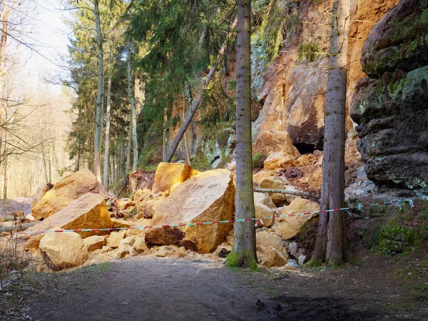
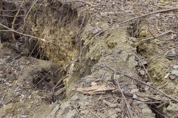
Large Boulder Stones Block The Forest Road. Zone Of Natural Disasters During Rain. Large Masses Of Rocks Slip Along Slope Of Hill, Destroy Forest Way
Image, 31.71MB, 5184 × 3888 jpg


Relief Map Of The Area Around The Molucca Sea Tectonic Plate. 3D Rendering
Image, 4.05MB, 2880 × 1620 jpg

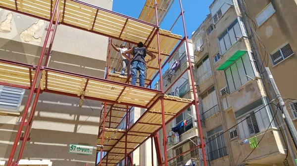
Scaffolding Set Around A House To Be Strengthened According To "Tama 38"
Image, 8.28MB, 5312 × 2988 jpg


Solomon Sea Tectonic Plate Outlined On The Global Color Physical Map In The Kavrayskiy Projection. 3D Rendering
Image, 3.81MB, 2880 × 1620 jpg

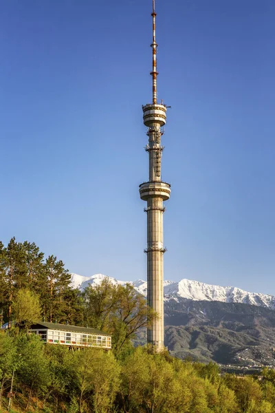
Beautiful View Of The TV Tower In Almaty On The Background Of Bright Blue Sky.
Image, 15.78MB, 3700 × 5550 jpg


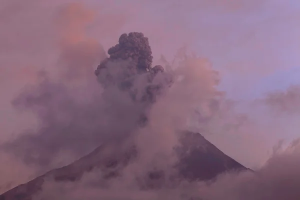
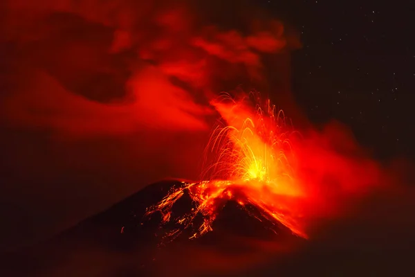
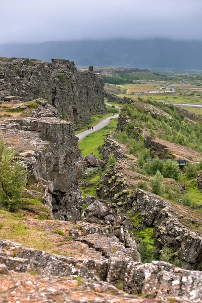
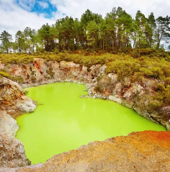
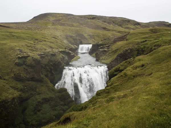
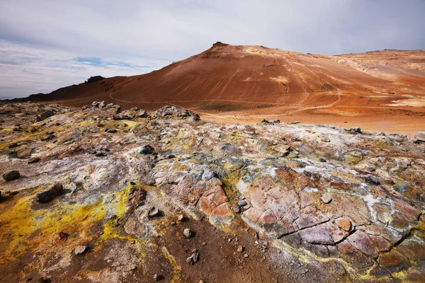
Brown Lava Fields And Hiking Trail Around The Volcano Eyjafjallajokull
Image, 11.42MB, 4608 × 3456 jpg
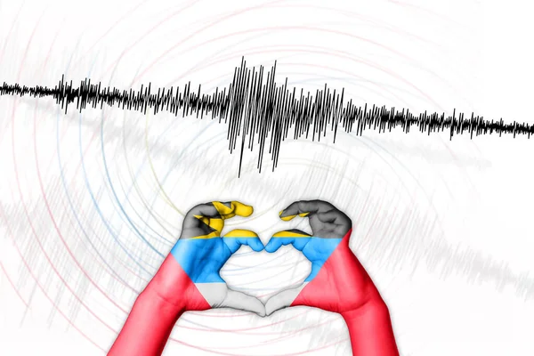
Seismic Activity Earthquake Antigua And Barbuda Symbol Of Heart Richter Scale
Image, 2.03MB, 6750 × 4500 jpg
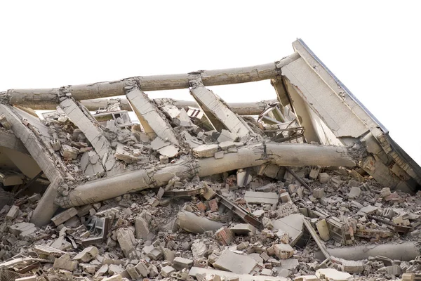
Industrial Concrete Building Destructed By Earthquake Strike. Disaster Scene Full Of Debris, Dust And Crashed Buildings.isolated On White
Image, 12.1MB, 6016 × 4016 jpg

North American Tectonic Plate Enlarged, Extruded And Rotated To The West Side The Global Shapes Only - Land/ocean Mask In The Azimuthal Equidistant Projection With Dashed Plates Borders. 3D Rendering
Image, 1.74MB, 2880 × 1620 jpg

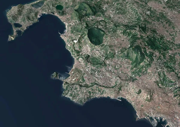
Section 3d Fields Flegrei, Naples, Campania, Italy, Split Of The Ground. 3d Rendering
Image, 9.87MB, 4724 × 3333 jpg

Page 1 >> Next