Home
Images
Vectors
Videos
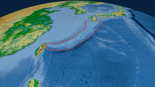
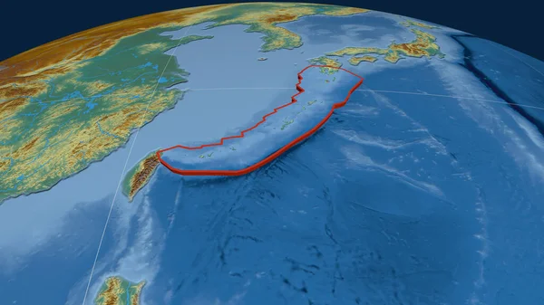
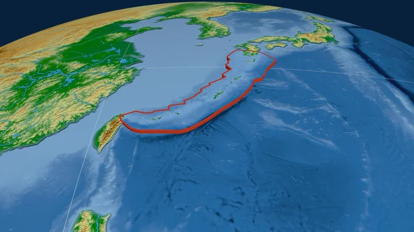
Stock image Okinawa tectonic plate outlined on the globe. satellite imagery. 3D rendering
Published:
Aug.06, 2020 14:55:01
Author:
Yarr65
Views:
21
Downloads:
1
File type:
image
/
jpg
File size:
3.53 MB
Orginal size:
2880
x
1620
px
Available sizes:
S
(500 x 281)
M
(1000 x 563)
L
(2000 x 1125)
XL
(2880 x 1620)
EL0
(2880 x 1620)
Level:
bronze
Download Image
Image topics:
Shape
Nature
Texture
Border
Global
Education
Earth
Planet
Science
Globe
Outline
Ridge
Map
Cartography
Geography
Area
Continent
Land
Core
Projection
Satellite
Shoreline
Continents
Outlined
Magma
Mantle
Earthquake
Atlas
Zone
Nasa
Rift
Seismic
Graticule
Volcanoe
Convection
Okinawa
Bumped
Cartographic
Lithosphere
3d Rendering
Ring Of Fire
Seismic Activity
Subduction
Wegener
Tectonic Plate
Continental Drift
Surface Waters
Supercontinents
Similar stock images
Okinawa Tectonic Plate Outlined On The Globe. Natural Earth Topographic Map. 3D Rendering
2880 × 1620
Okinawa Tectonic Plate Outlined On The Globe. Topographic Relief Map. 3D Rendering
2880 × 1620
Okinawa Tectonic Plate Outlined On The Globe. Color Physical Map. 3D Rendering
2880 × 1620
Okinawa Tectonic Plate Extruded On The Globe. Satellite Imagery. 3D Rendering
2880 × 1620
Okinawa Tectonic Plate Extruded On The Globe. Topographic Map. 3D Rendering
2880 × 1620
Okinawa Tectonic Plate Extruded On The Globe. Topographic Relief Map. 3D Rendering
2880 × 1620
Okinawa Tectonic Plate Extruded On The Globe. Color Physical Map. 3D Rendering
2880 × 1620
Okinawa Tectonic Plate Extruded On The Globe. Natural Earth Topographic Map. 3D Rendering
2880 × 1620