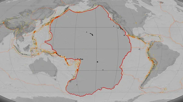
Stock image Pacific tectonic plate outlined on the global grayscale elevation map in the Kavrayskiy projection. 3D rendering

Published: Jun.26, 2020 10:02:36
Author: Yarr65
Views: 66
Downloads: 3
File type: image / jpg
File size: 2.65 MB
Orginal size: 2880 x 1620 px
Available sizes:
Level: bronze