
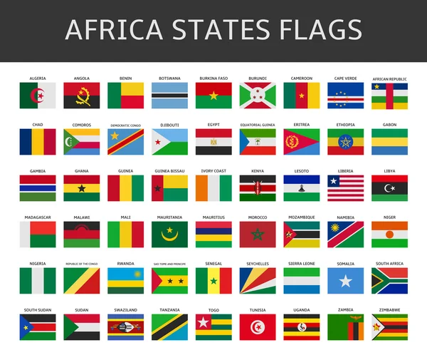
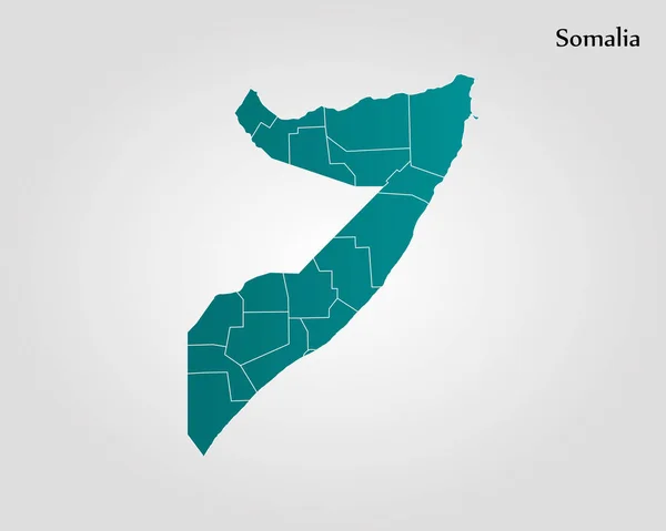
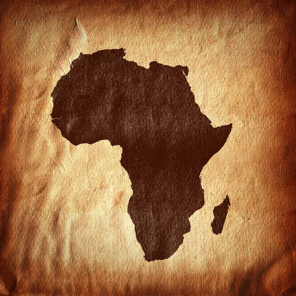
Stock image Somalia States

Fighter Jet Plane With Somalia Waving Flag Background Design With Sunset View Suitable For National Somalia Air Forces Day Event Vector Illustration
Vector, 23.47MB, 5558 × 3127 eps


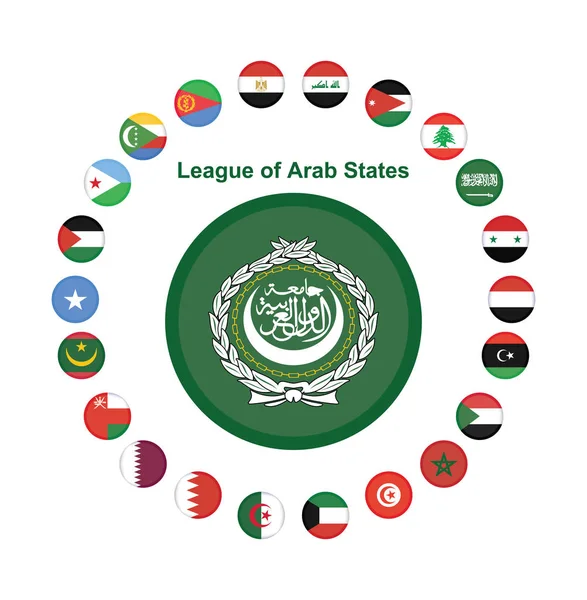
National Arab League Flag, Official Colors And Proportion Correctly. The League Of Arab States Flag. Vector Illustration. EPS10. Arab League Flag Vector Icon, Simple, Flat Design For Web
Vector, 8MB, 7325 × 7475 eps

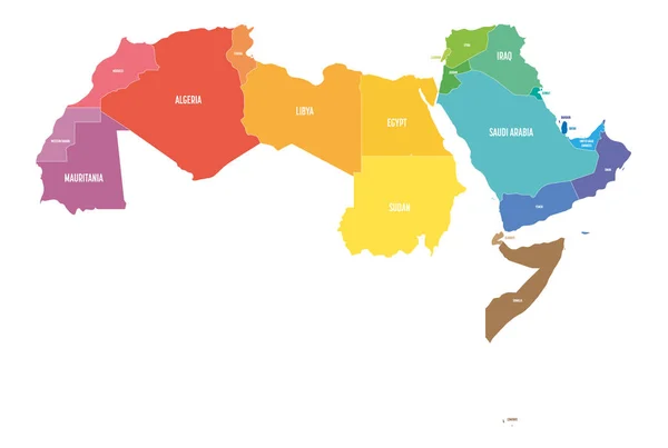
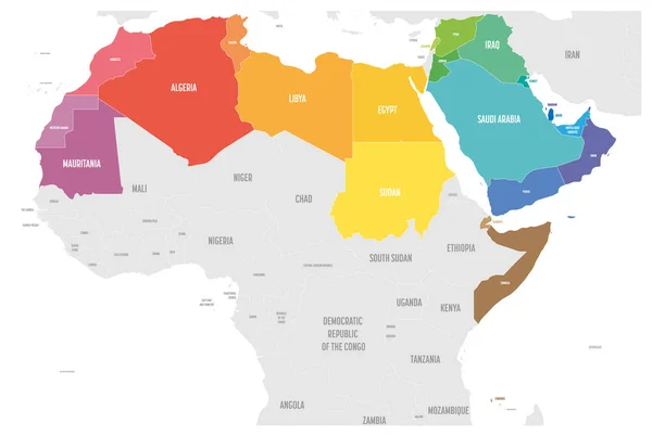
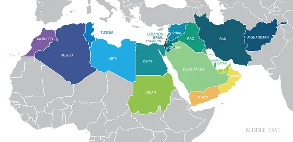
Arab World States Political Map With Colorfully Higlighted 22 Arabic-speaking Countries Of The Arab League. Northern Africa And Middle East Region. Vector Illustration
Vector, 0.84MB, 6000 × 4030 eps
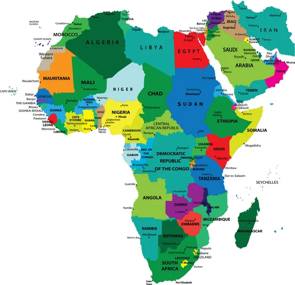
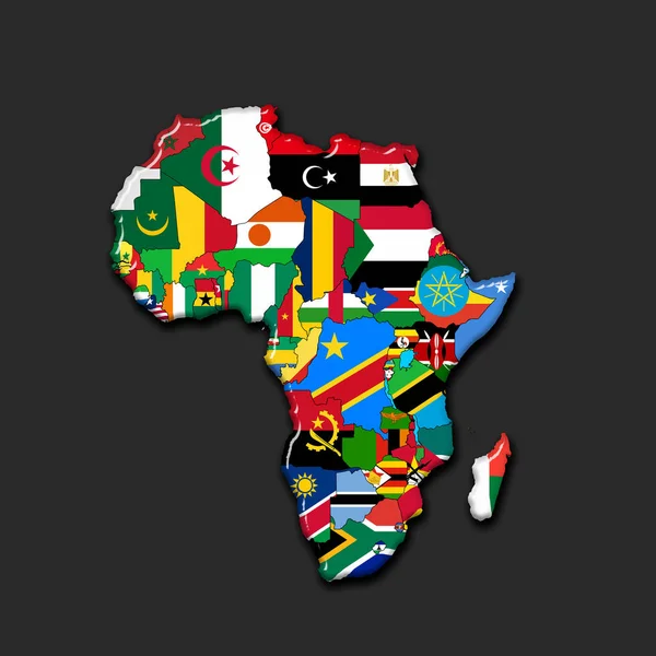
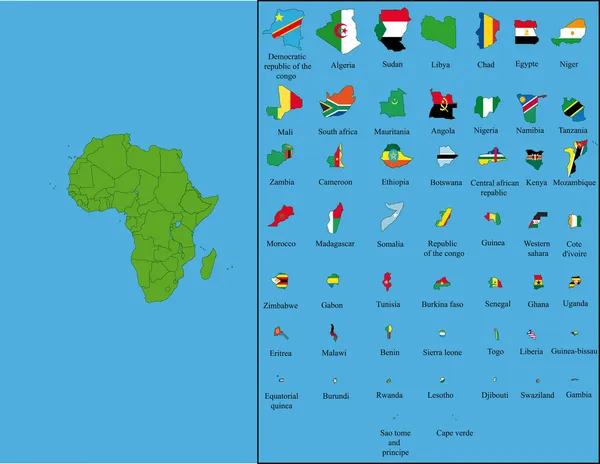
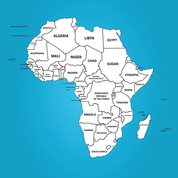
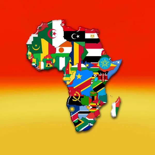
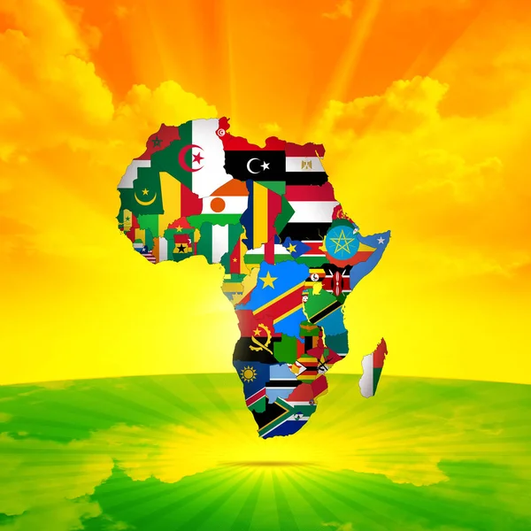
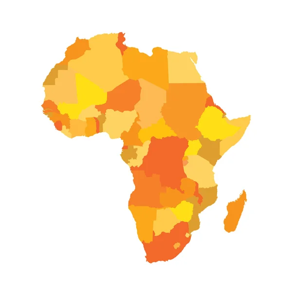
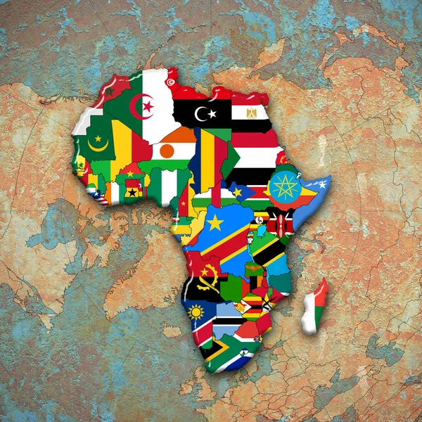
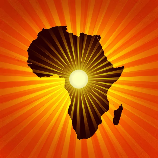
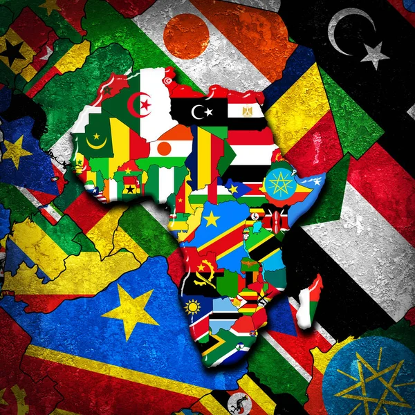
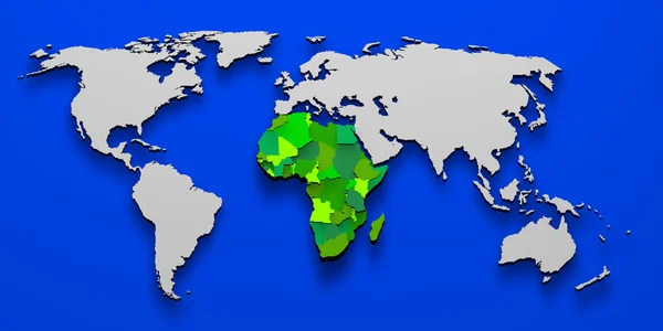
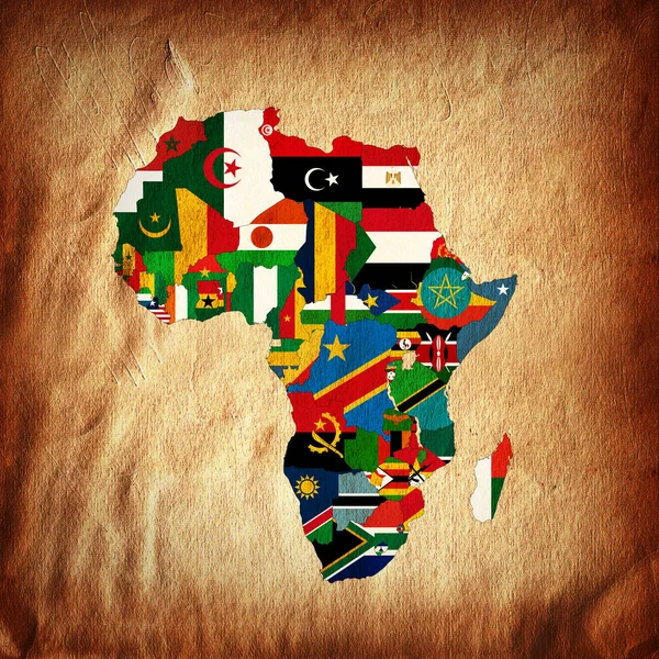
Political Map Of Africa Agaist White Background. Every State Is Selectable Separate
Vector, 1.33MB, 3591 × 3467 eps

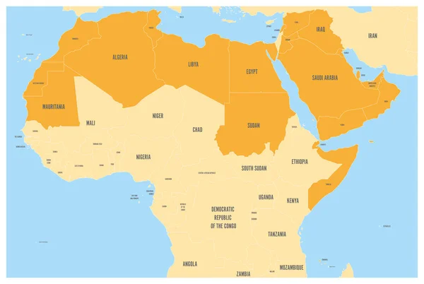
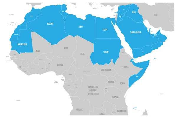
Arab World States Political Map With Orange Higlighted 22 Arabic-speaking Countries Of The Arab League. Northern Africa And Middle East Region. Vector Map With Blue Water And Yellow Lands
Vector, 2.74MB, 6001 × 4030 eps
Arab World States Political Map With Colorfully Higlighted 22 Arabic-speaking Countries Of The Arab League. Northern Africa And Middle East Region. Vector Illustration
Vector, 0.45MB, 6000 × 4030 eps
Arab World States Political Map With Colorfully Higlighted 22 Arabic-speaking Countries Of The Arab League. Northern Africa And Middle East Region. Vector Illustration
Vector, 1.07MB, 6000 × 4030 eps

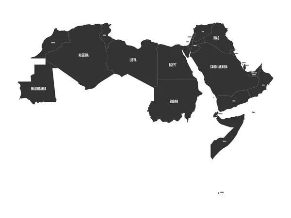
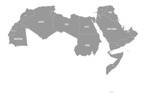
Arab World States. Political Map Of 22 Arabic-speaking Countries Of The Arab League. Northern Africa And Middle East Region. Vector Illustration
Vector, 0.74MB, 6000 × 4500 eps
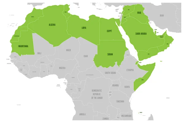
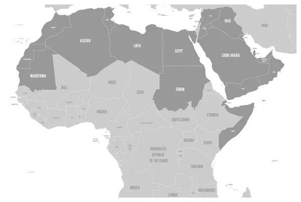
Arab World States Political Map With Higlighted 22 Arabic-speaking Countries Of The Arab League. Northern Africa And Middle East Region. Vector Illustration
Vector, 2.73MB, 6001 × 4030 eps


Arab World States Political Map With Higlighted 22 Arabic-speaking Countries Of The Arab League. Northern Africa And Middle East Region. Vector Illustration
Vector, 2.74MB, 6001 × 4030 eps

Arab World States Political Map With Higlighted 22 Arabic-speaking Countries Of The Arab League. Northern Africa And Middle East Region. Vector Illustration
Vector, 2.53MB, 6001 × 4030 eps


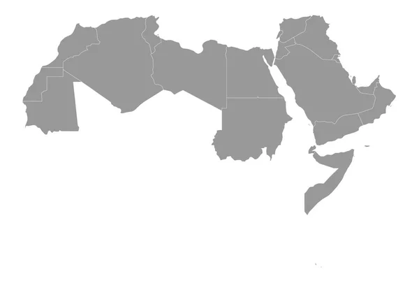
Arab World States. Political Map Of 22 Arabic-speaking Countries Of The Arab League. Northern Africa And Middle East Region. Vector Illustration
Vector, 0.8MB, 6000 × 4500 eps
Arab World States Political Map With Higlighted 22 Arabic-speaking Countries Of The Arab League. Northern Africa And Middle East Region. Vector Illustration
Vector, 0.61MB, 6000 × 4030 eps
Arab World States Political Map With Higlighted 22 Arabic-speaking Countries Of The Arab League. Northern Africa And Middle East Region. Vector Illustration
Vector, 0.69MB, 6000 × 4030 eps


Soldier With Machine Gun And Flag Of Somalia On Military Uniform. Collage.
Image, 14.68MB, 5860 × 3898 jpg


Couple Holding Two Puzzles Pieces With American And Somali Flags. United States Of America And Somalia National Symbols Together.
Vector, 0.96MB, 4410 × 2366 eps
Page 1 >> Next